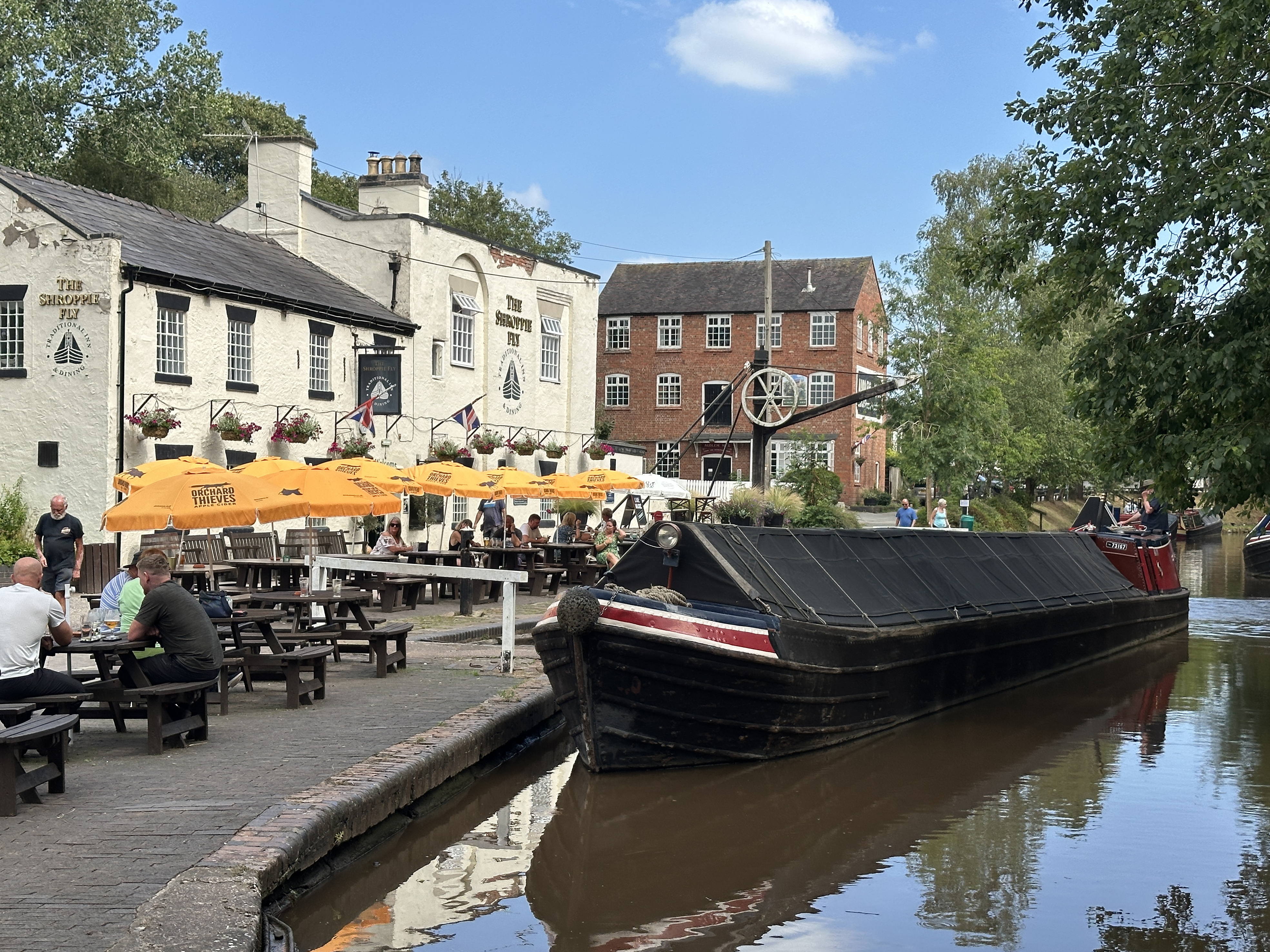
Welcome to WordPress. This is your first post. Edit or delete it, then start writing!
Blog
-
Collinson Photographic Competition 2025
To view an entry please click on the thumbnail, which will open the photograph in a new window.
rnAll photographs are the copyright of their respective owners. Please do not download or copy any photograph without the owner’s permission.rnrn
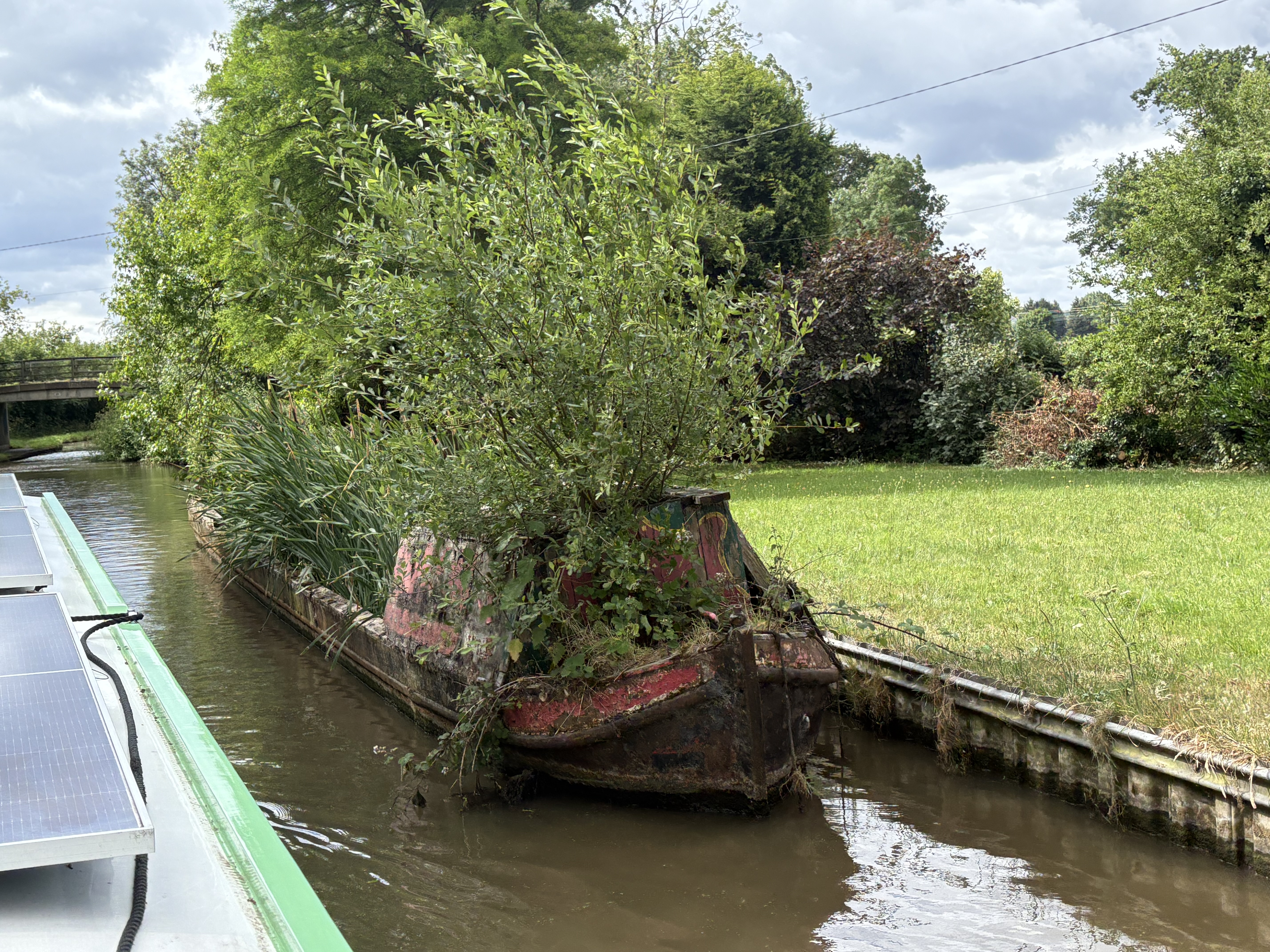
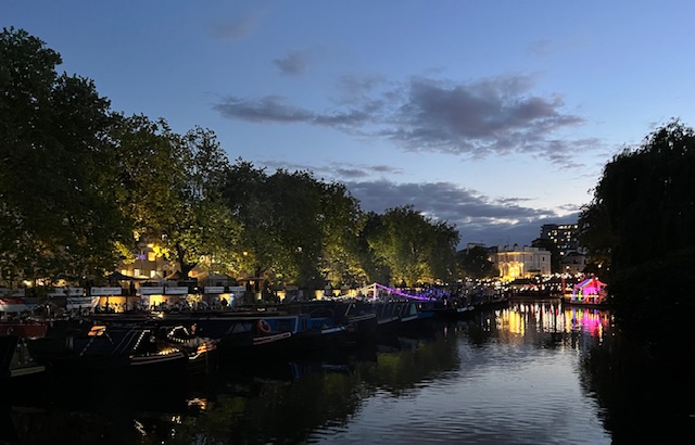
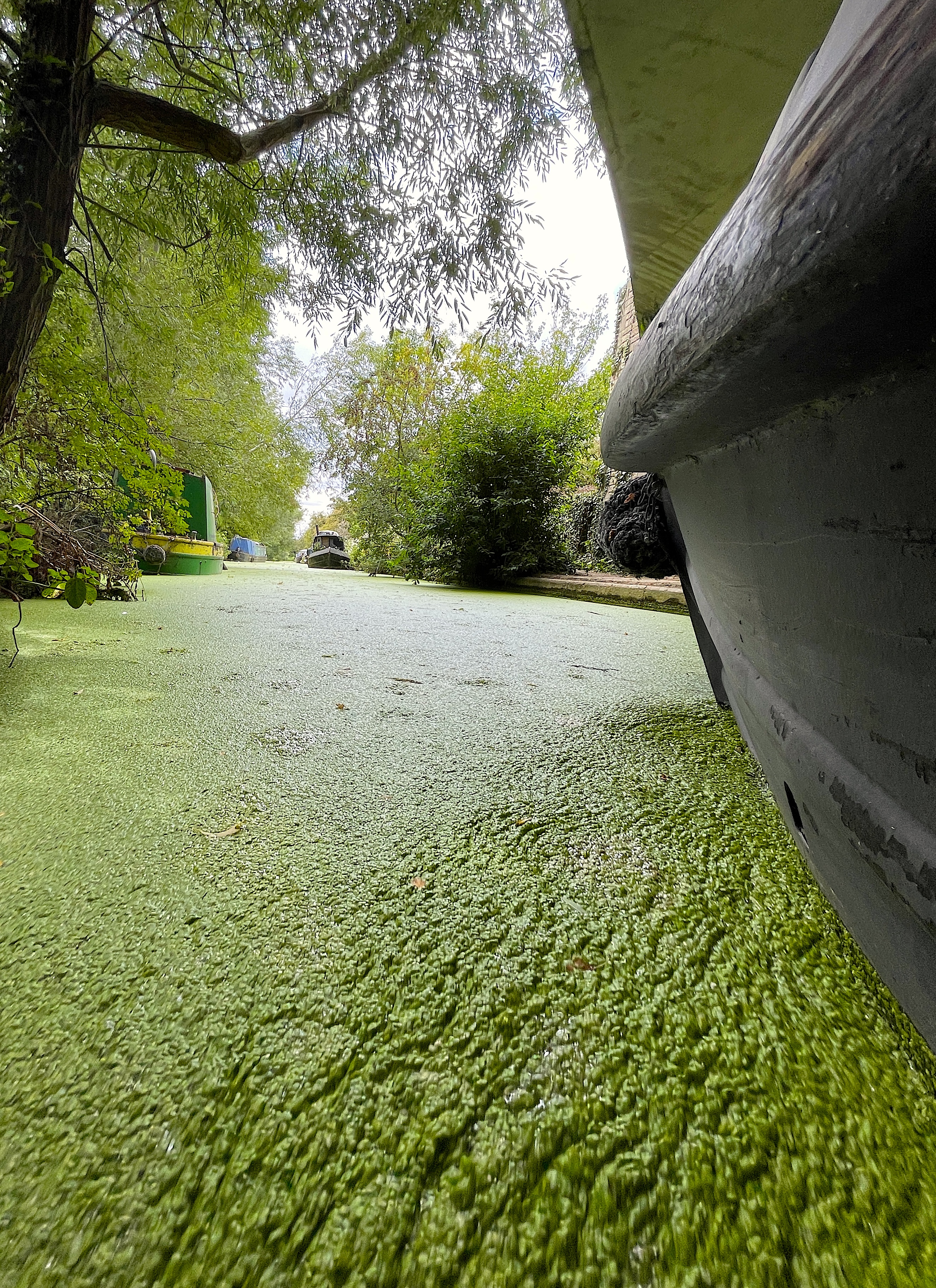
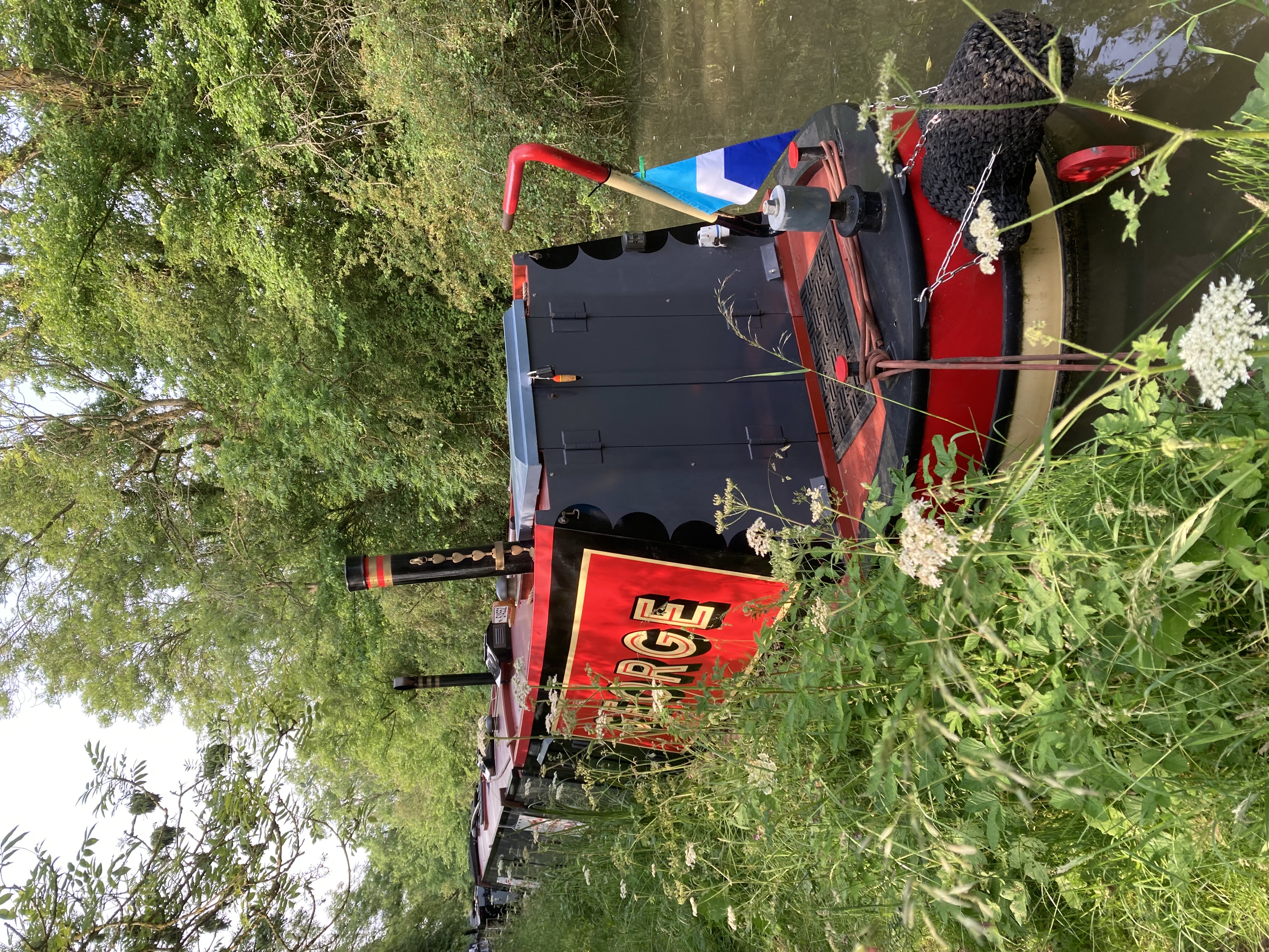
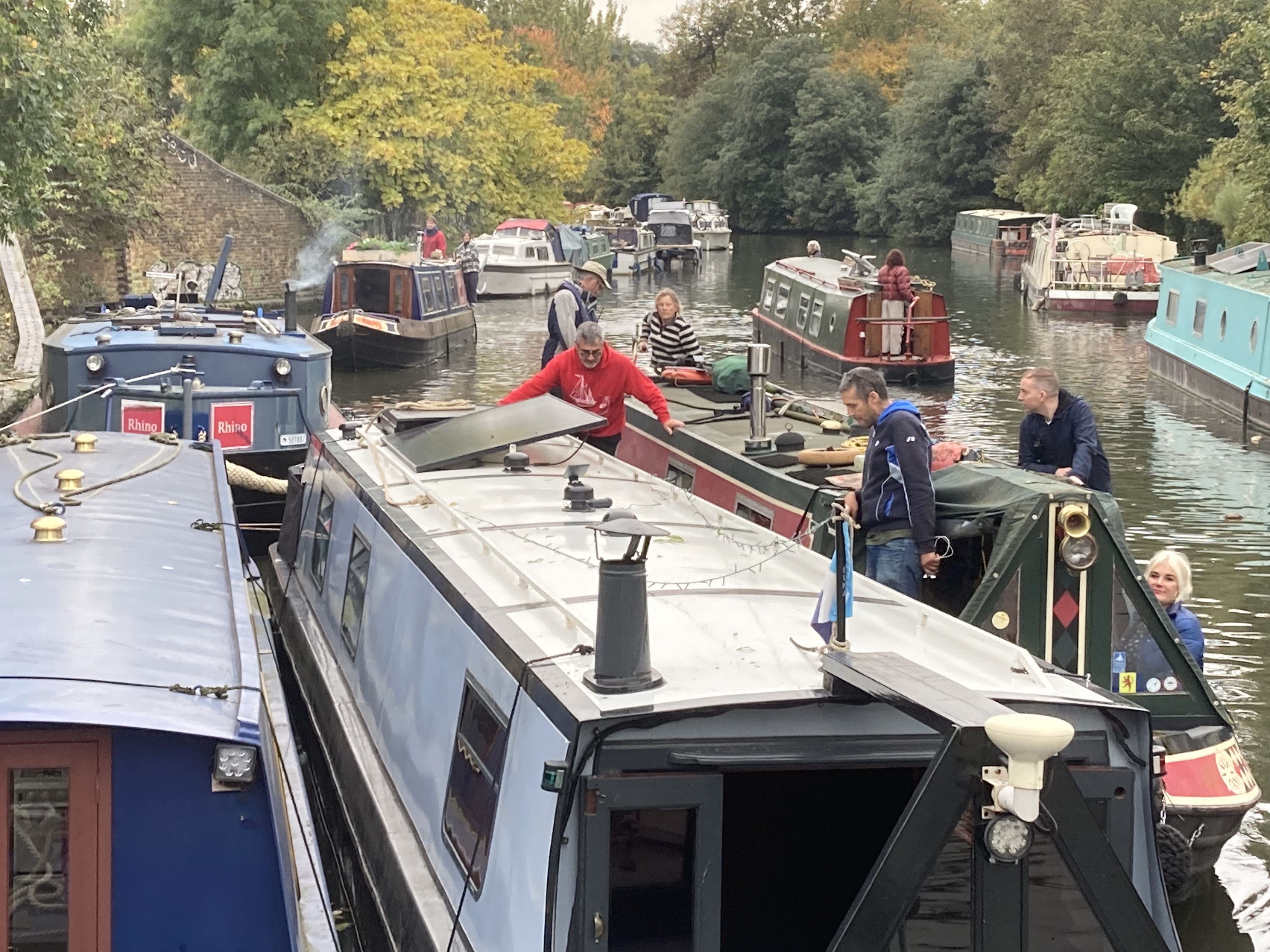
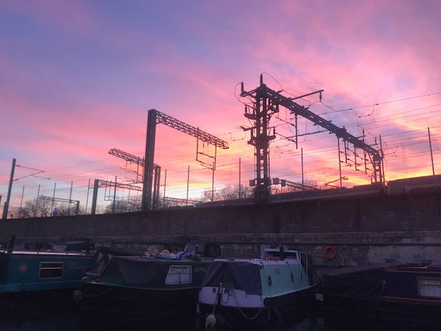
rnPhoto 1: CovenTree Canal June 25
rnrn
rnrn
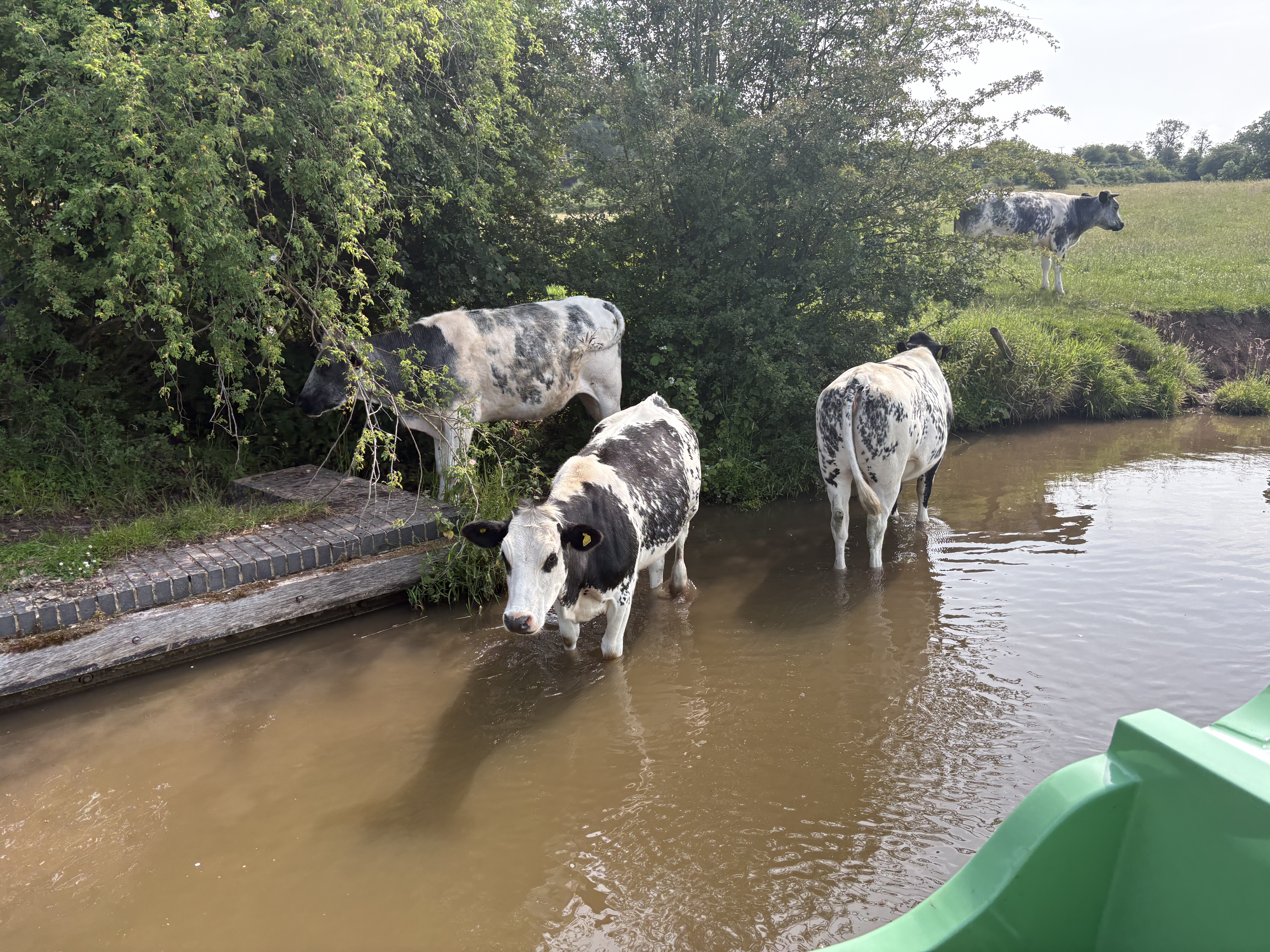
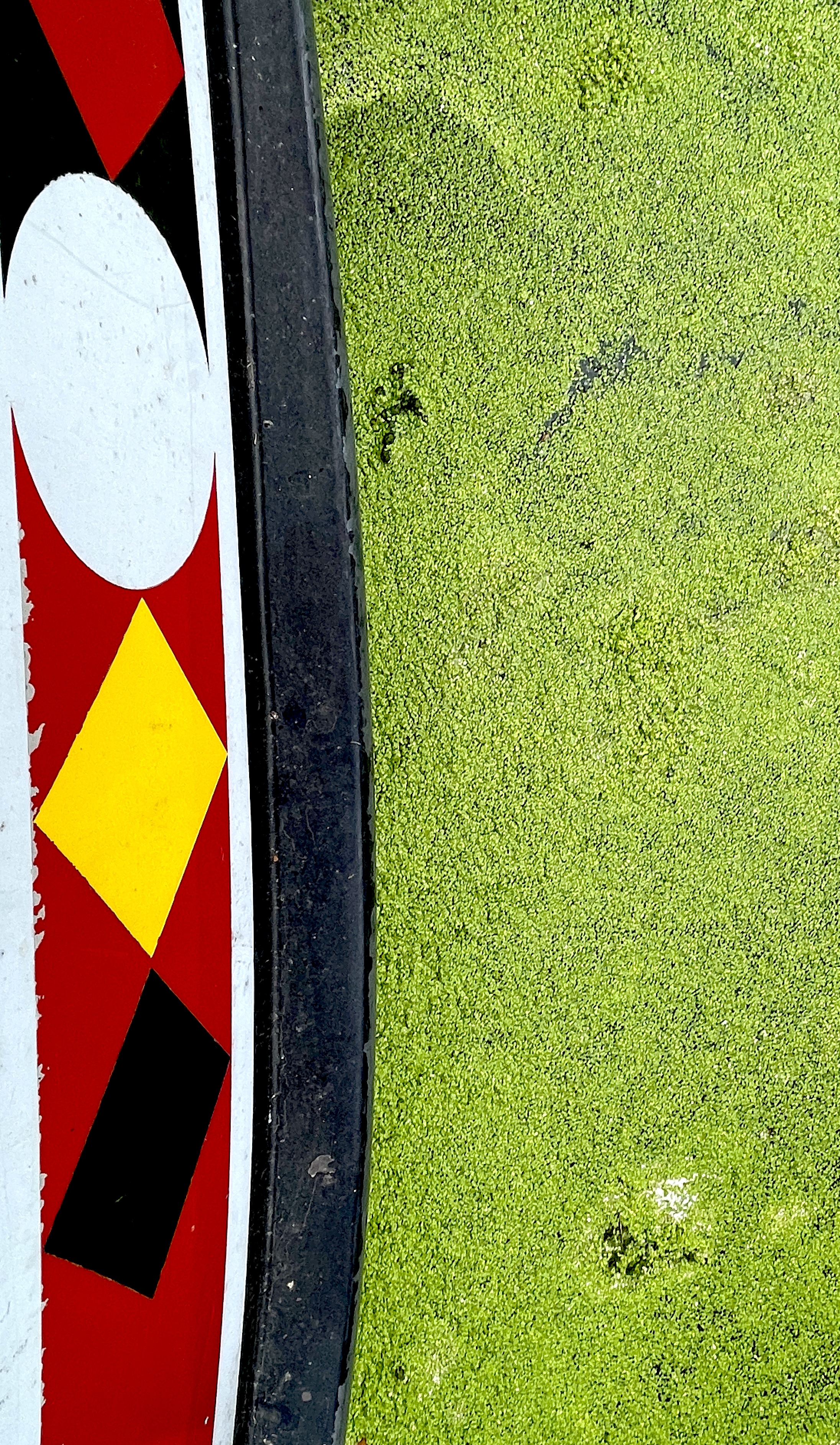
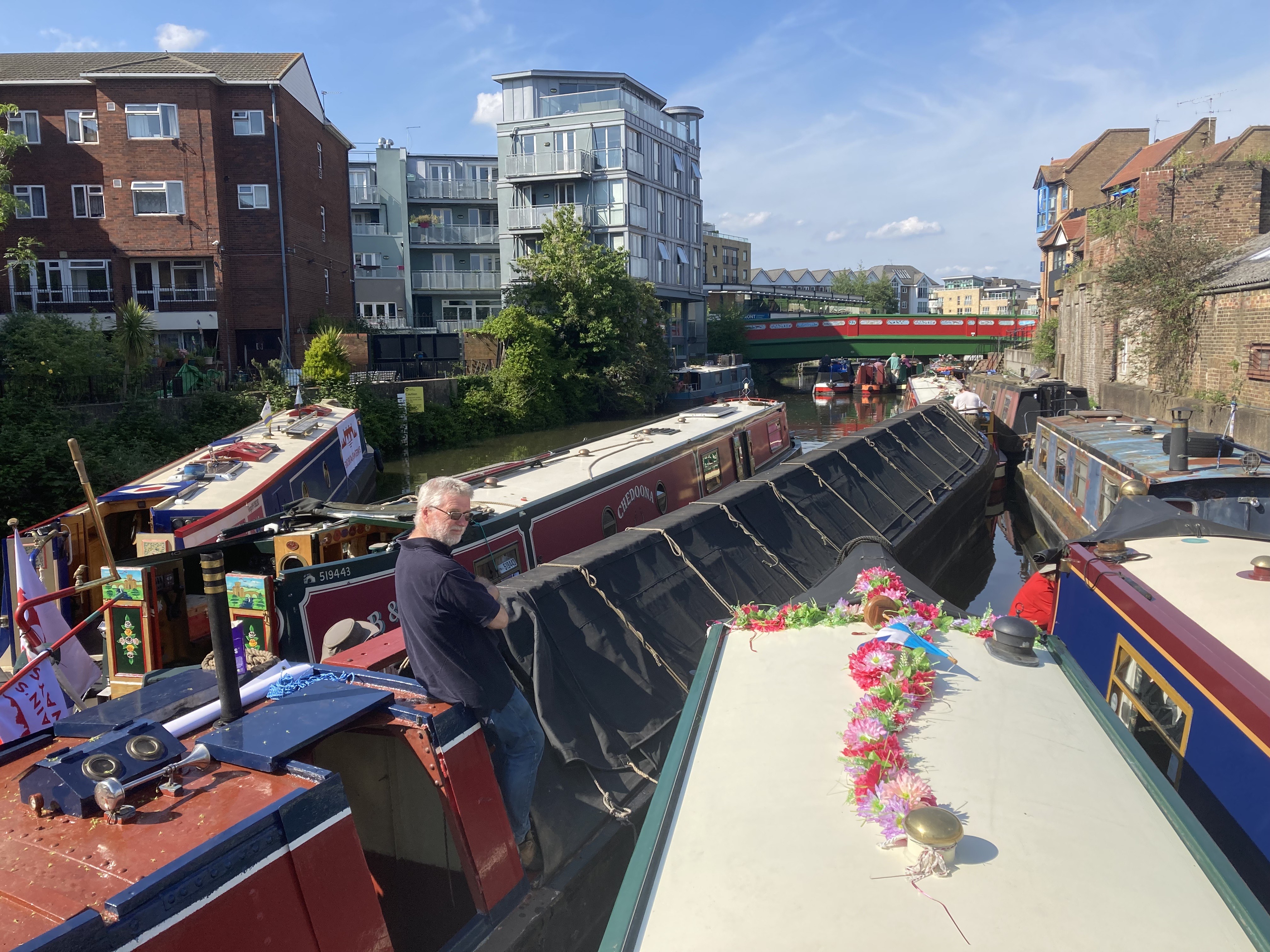
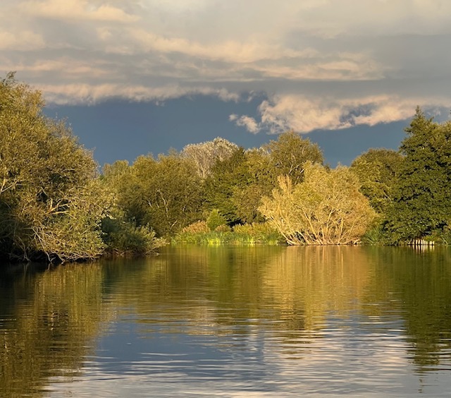
Photo 2: Watering Hole – Trent and Mersey Canal June 2025
rnrn
rnrn
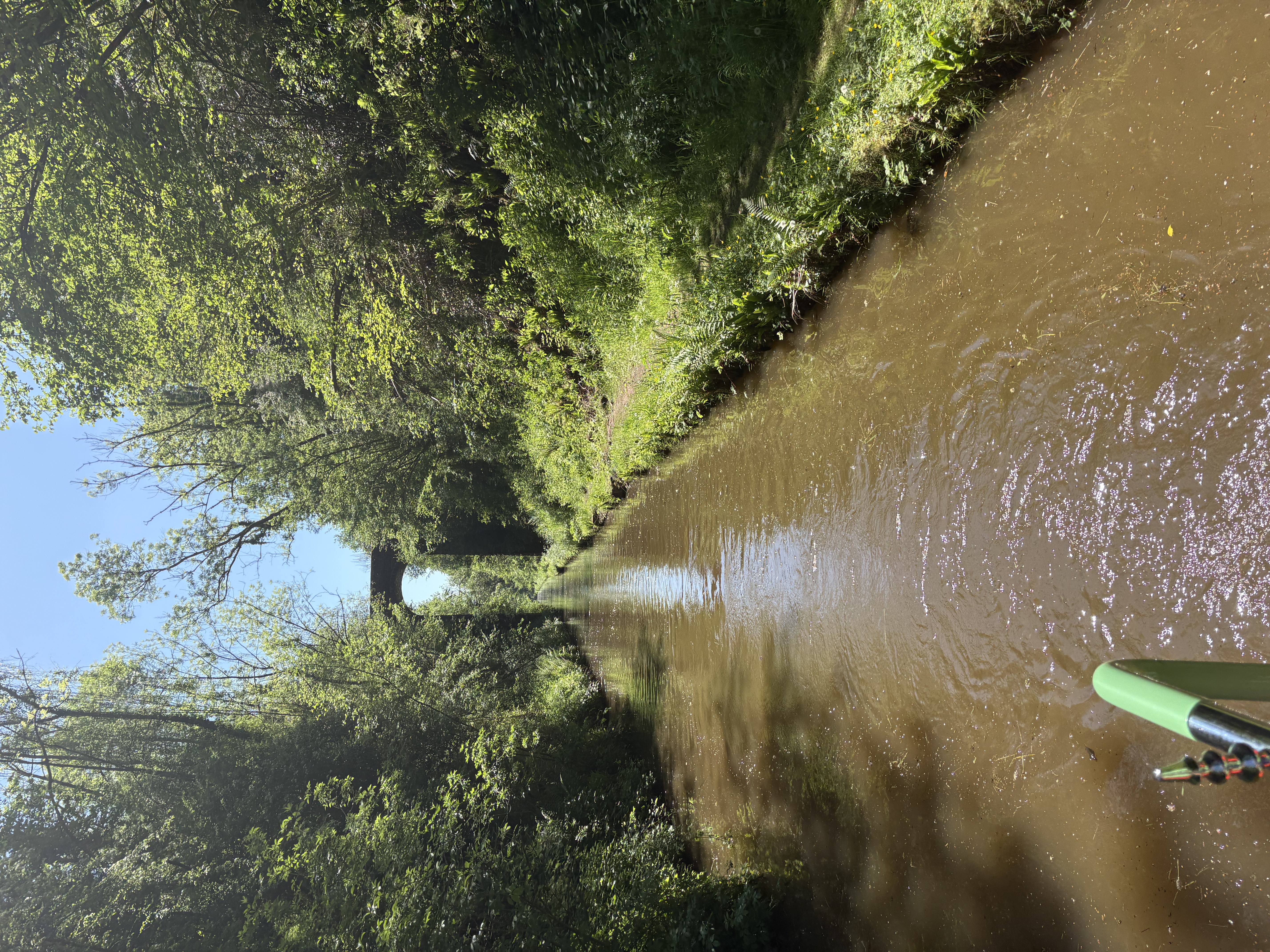
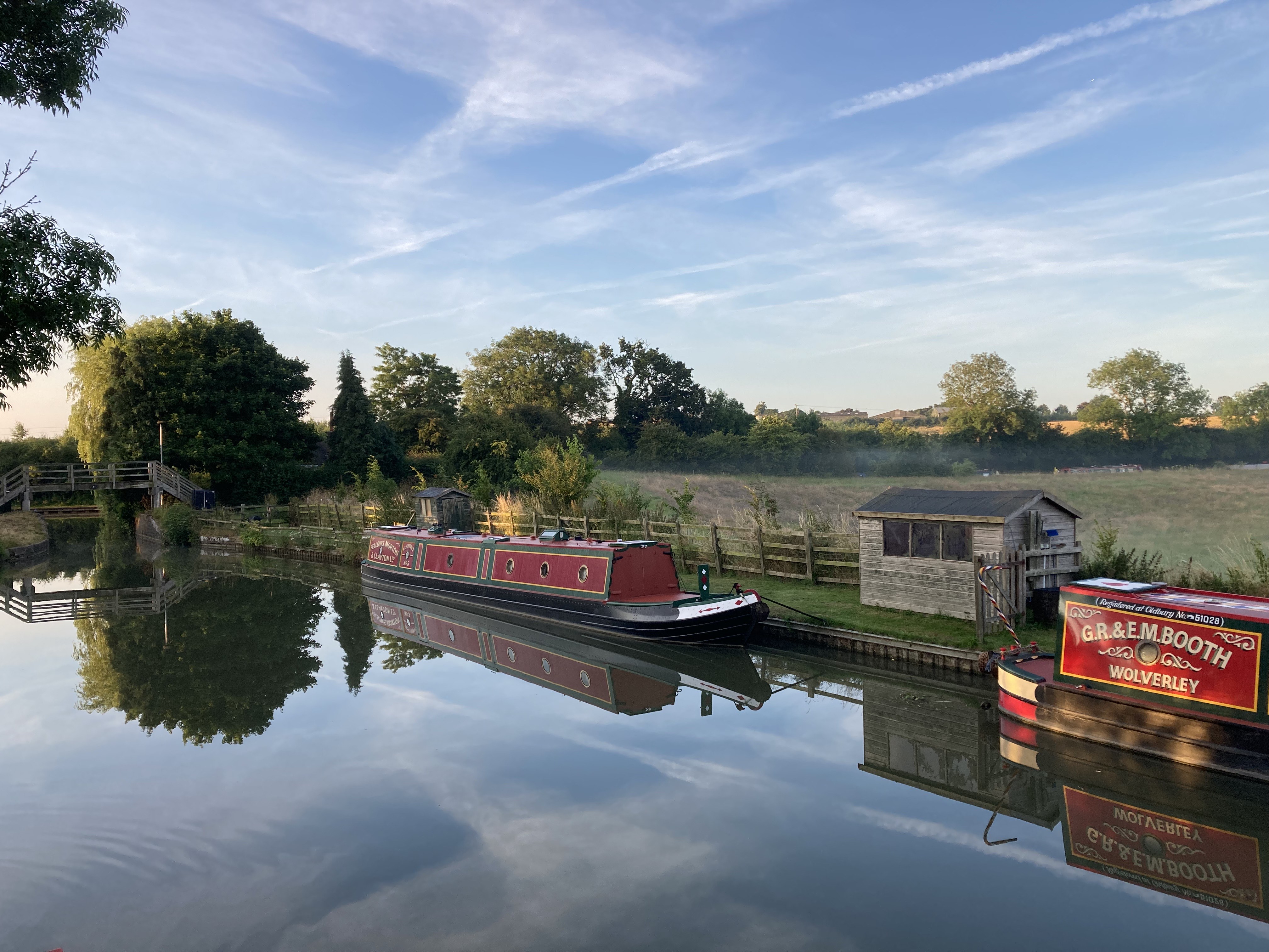
Photo 3: Immersed in Nature, Shropshire Union Canal near Market Drayton May 2025
rnrn
rnrn
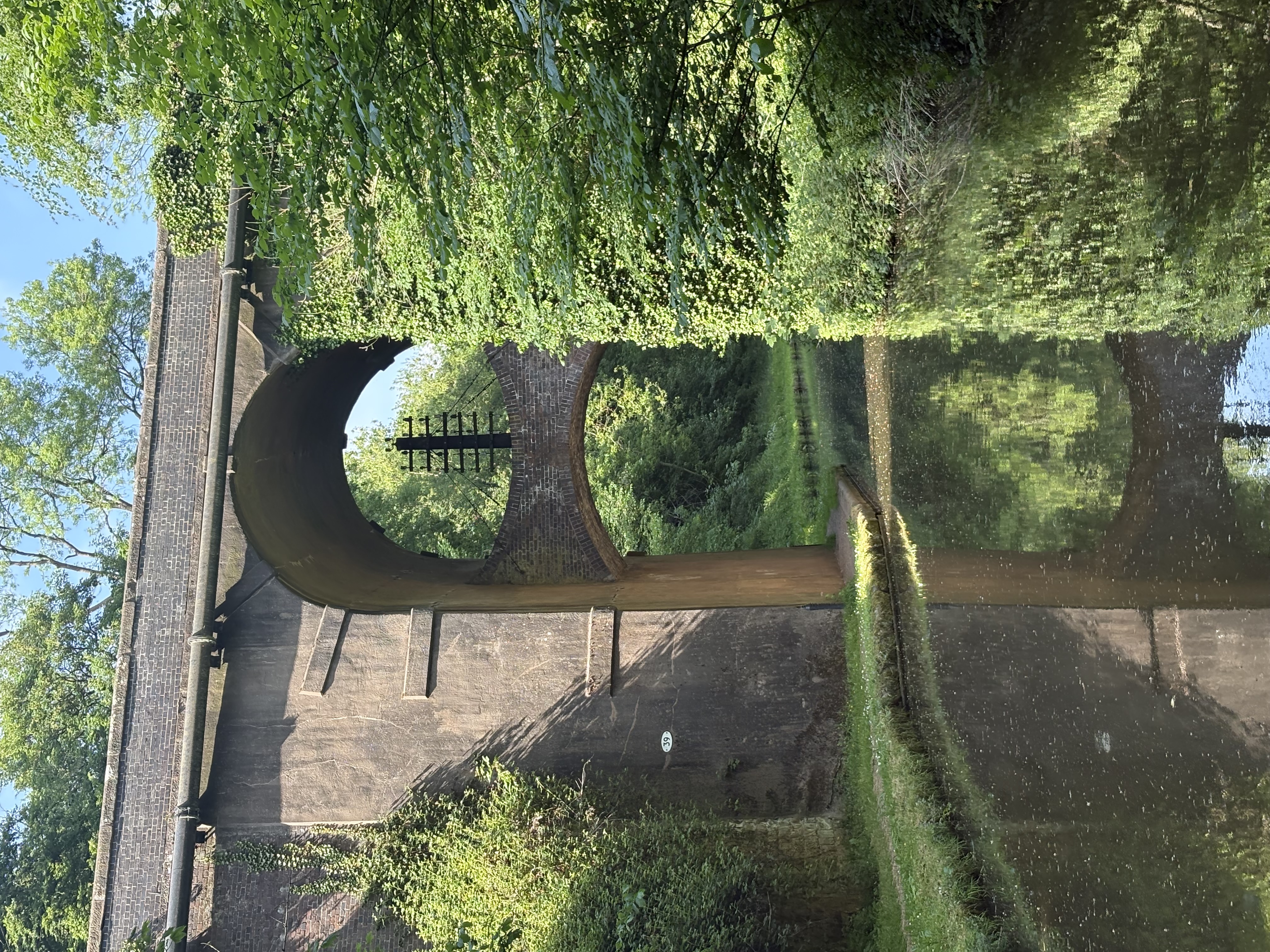
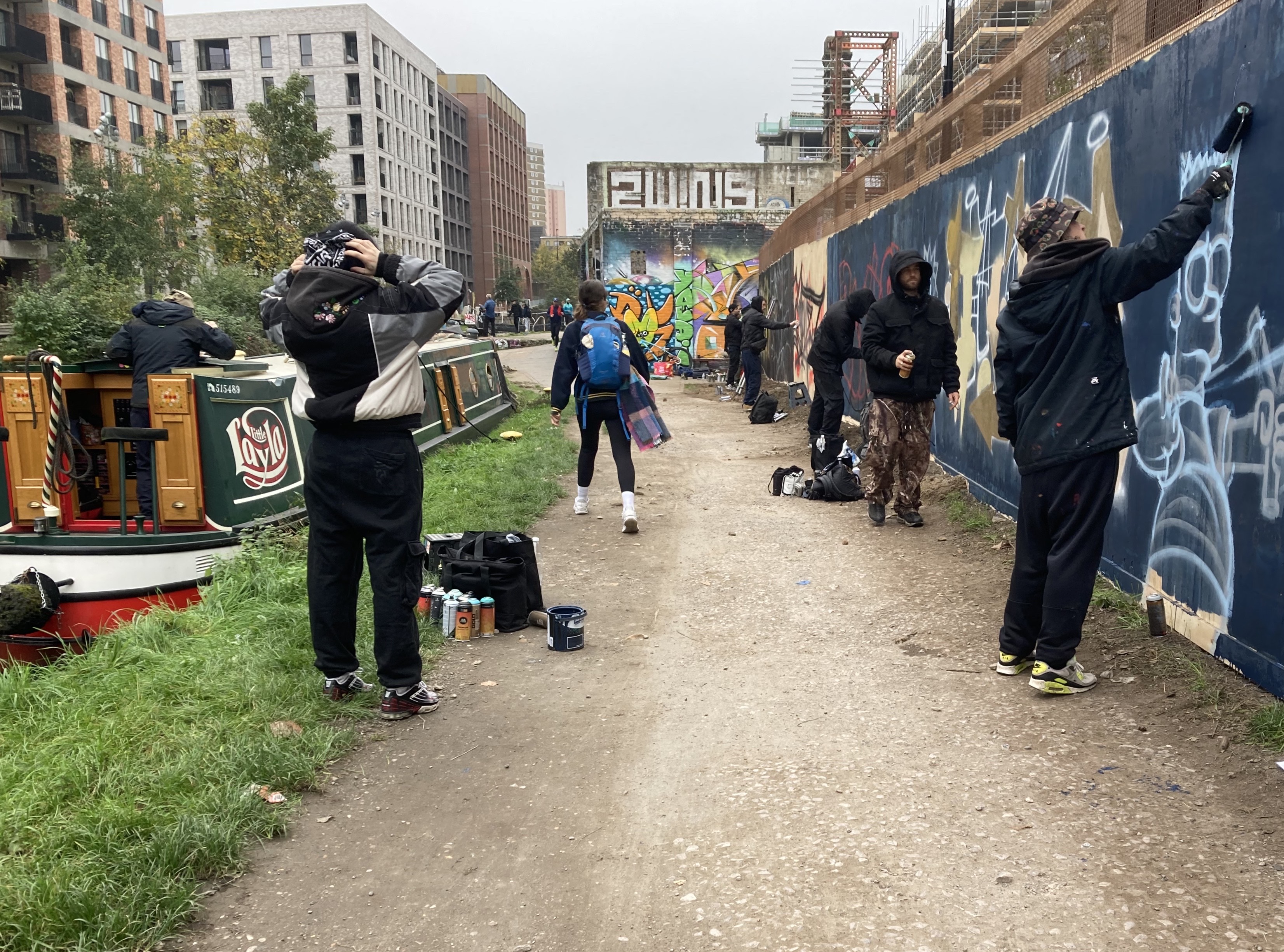
Photo 4: Grand Design – Shropshire Union Canal May 2025
rnrn
rnrn
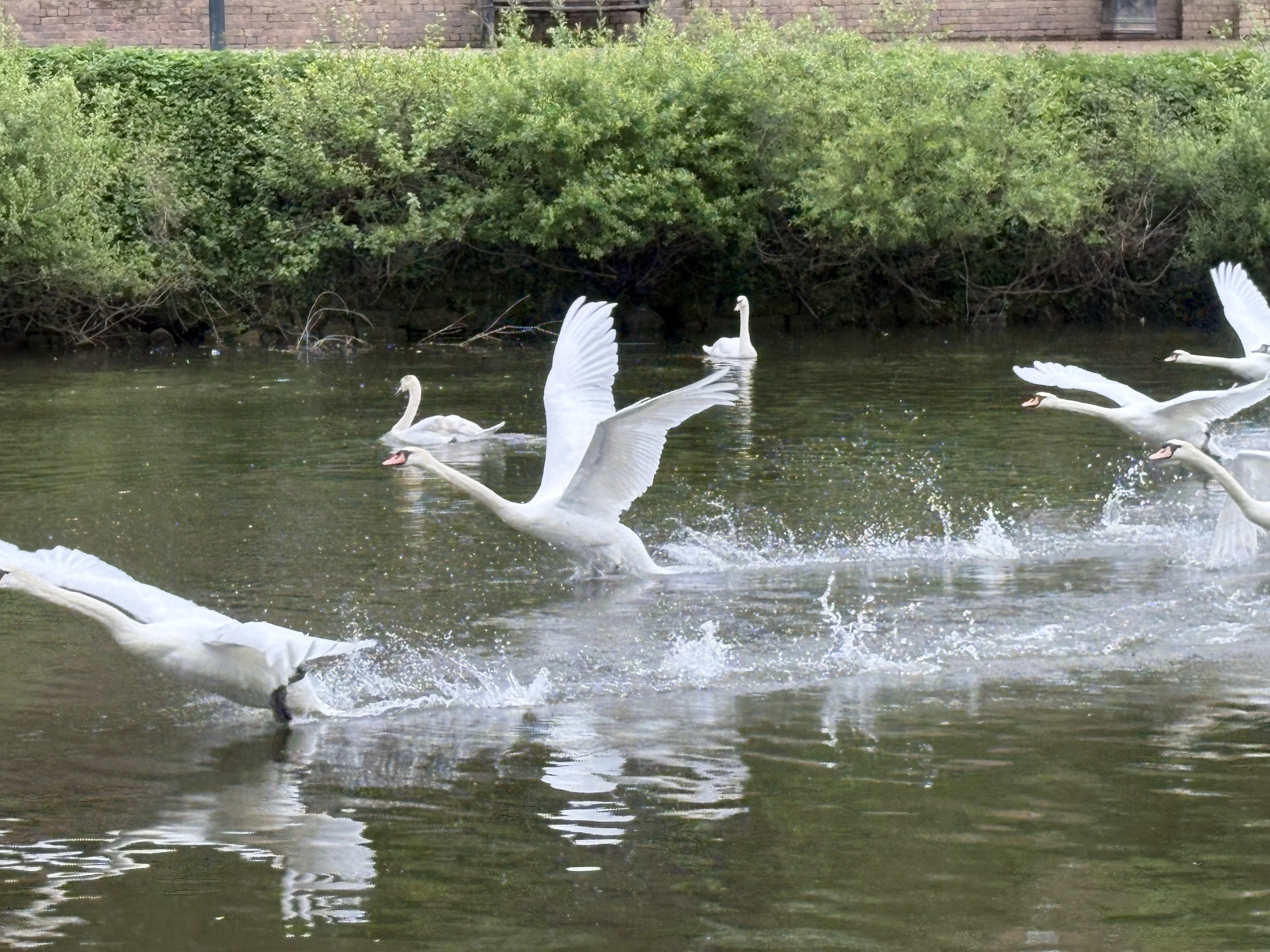
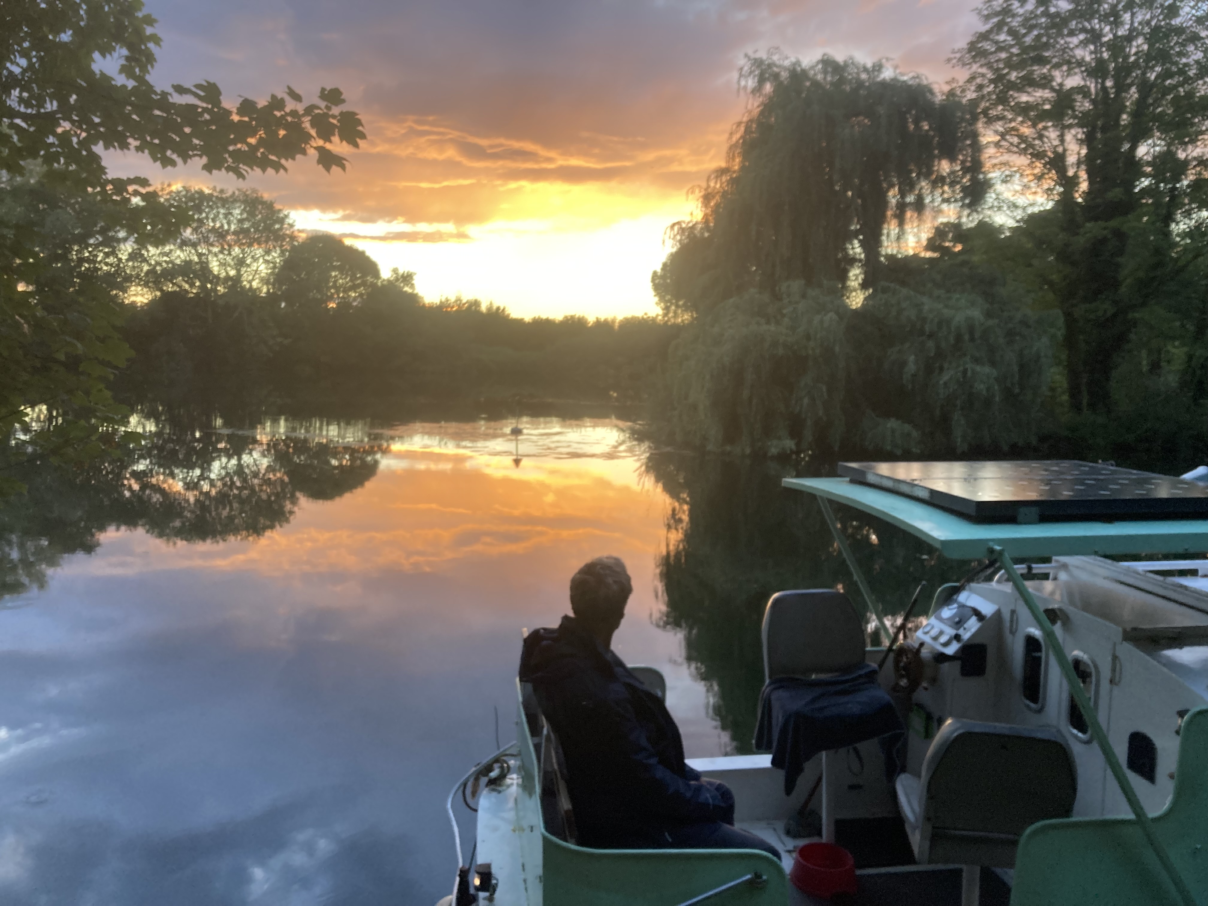
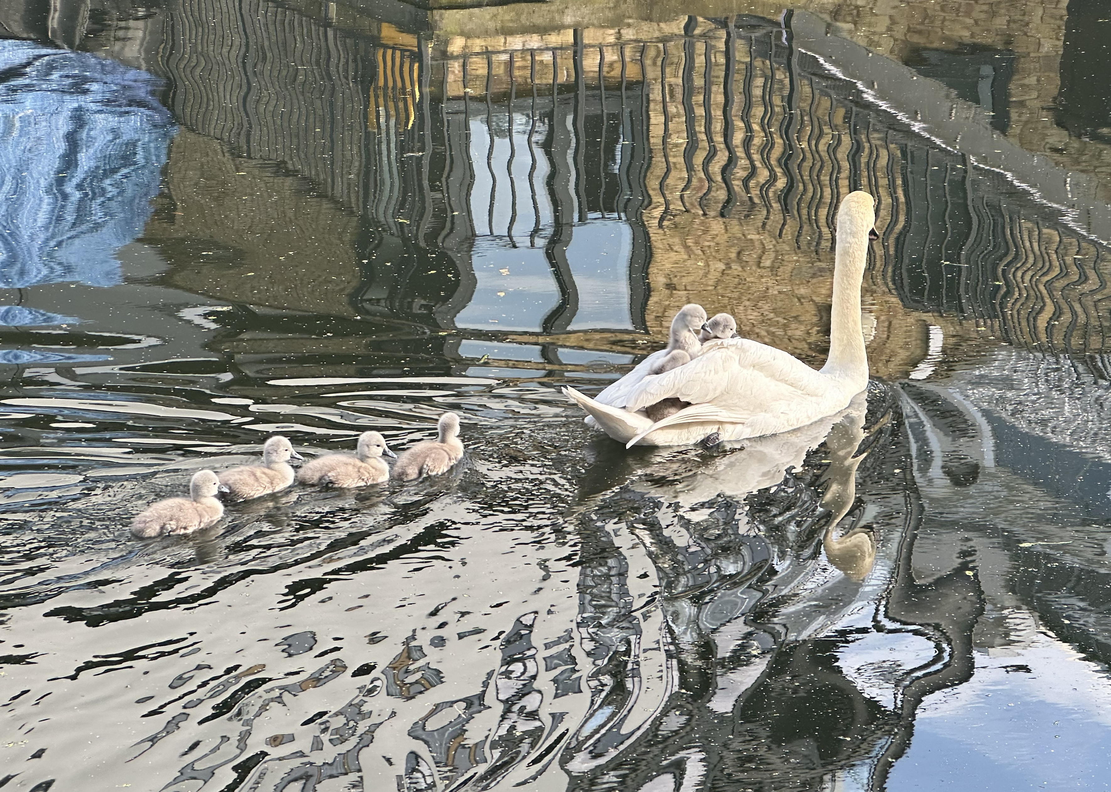
Photo 5: Swans, River Severn April 2025
rnrn
rnrn
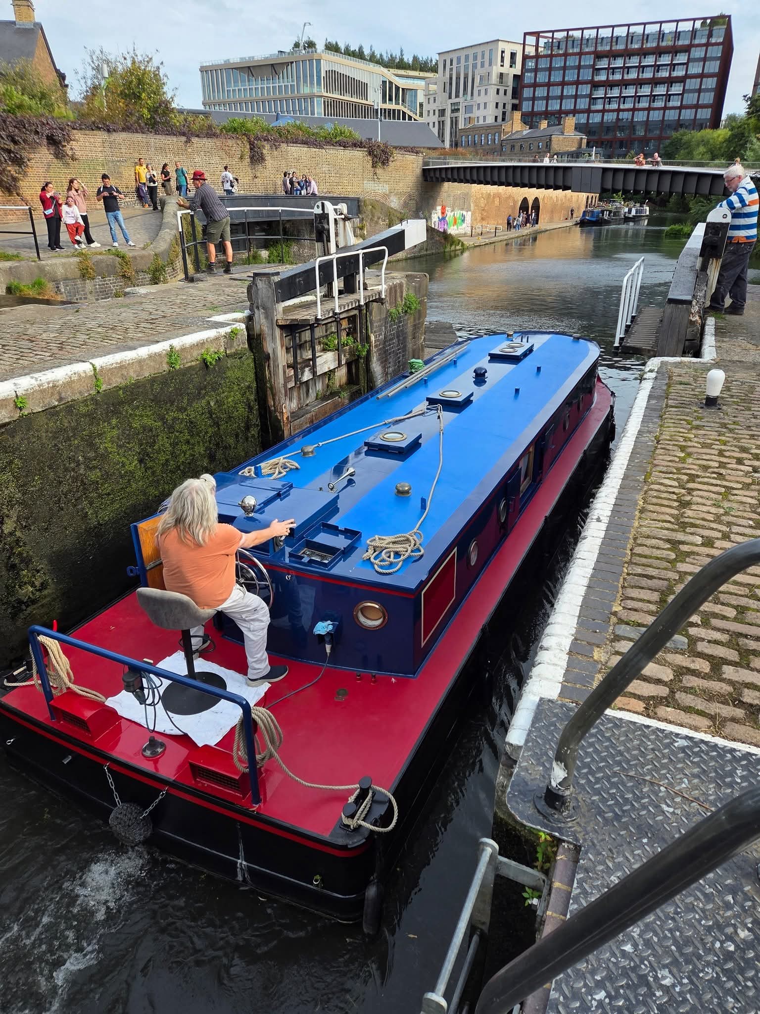
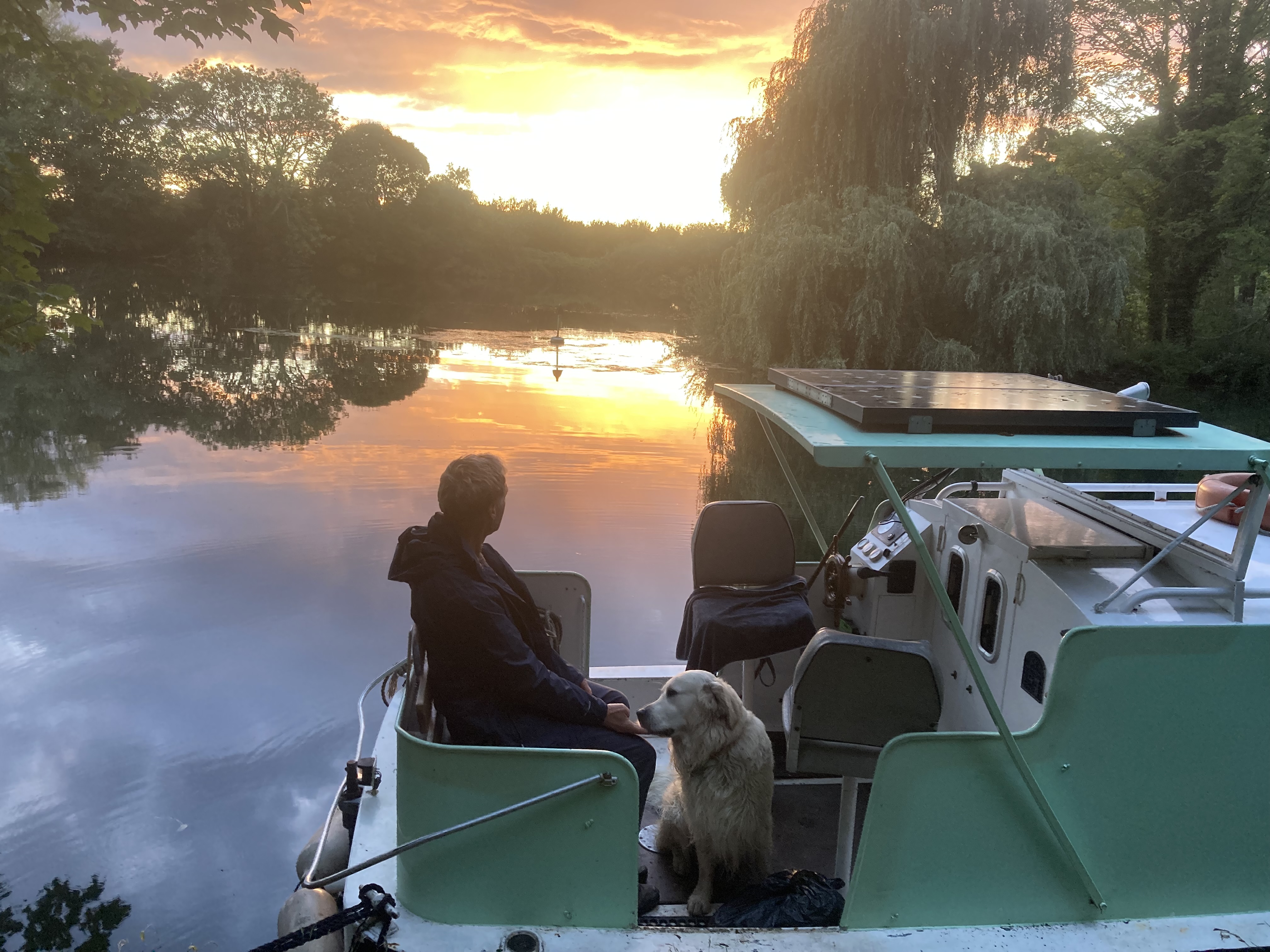
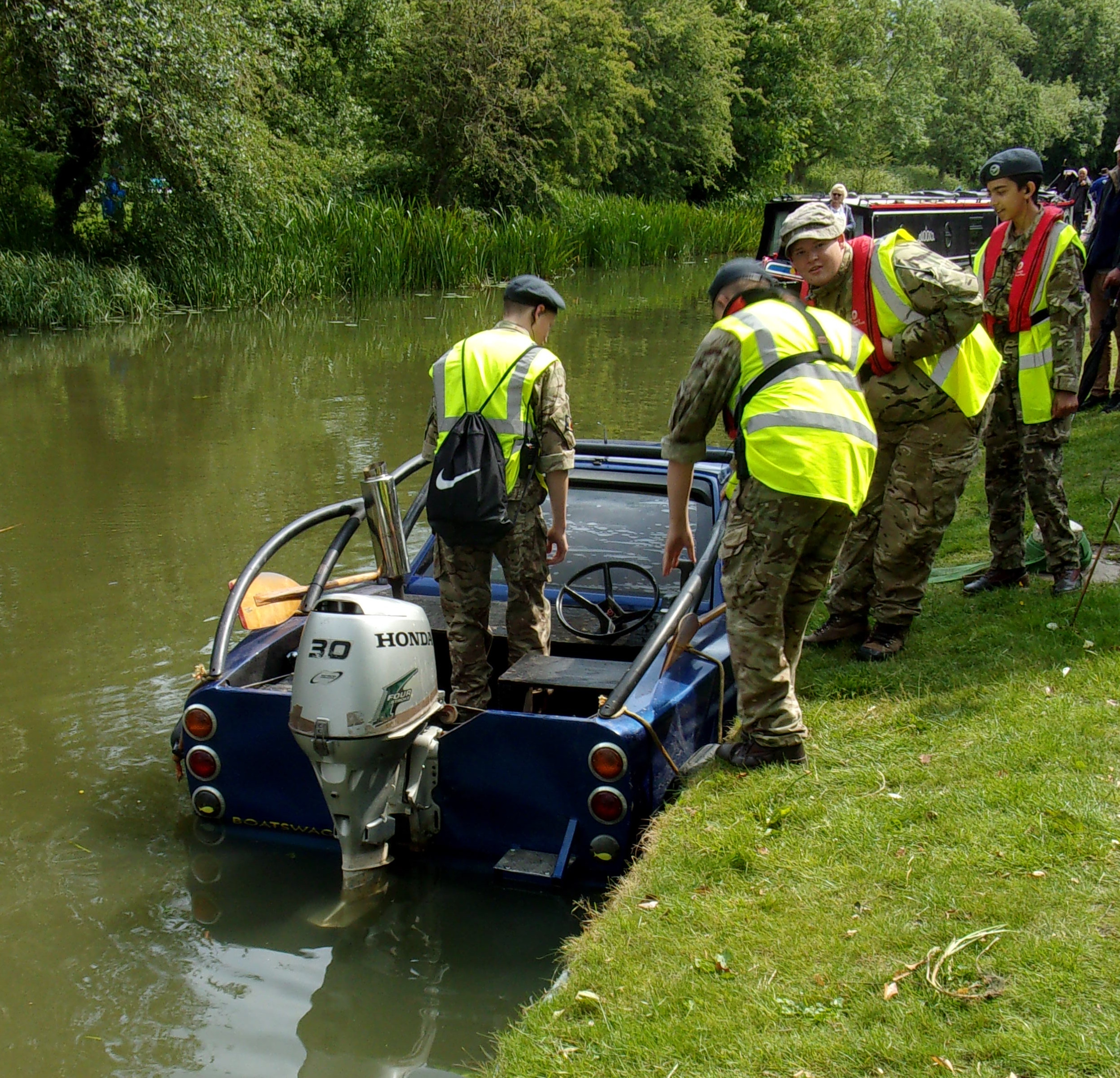
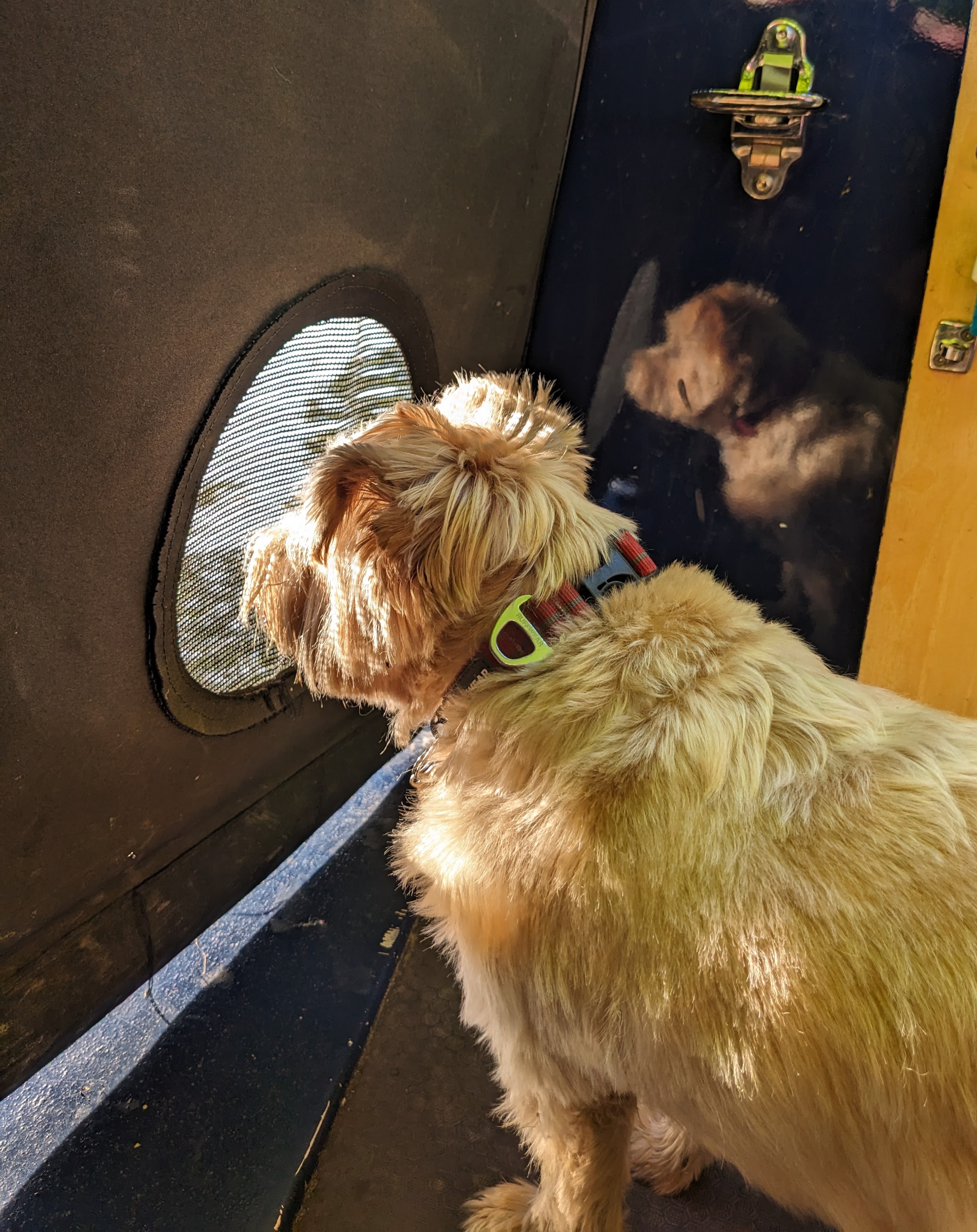
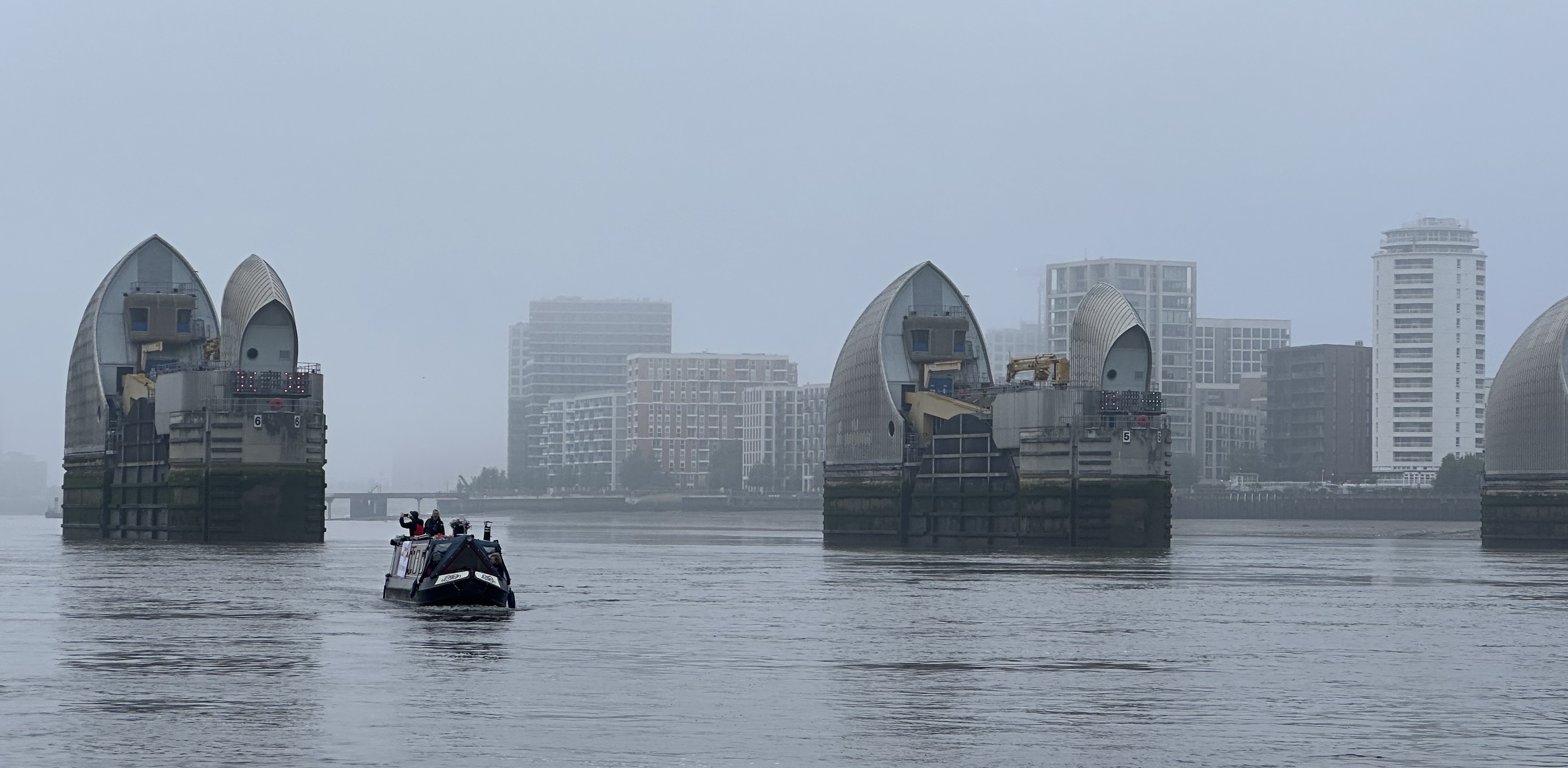
Photo 6: Big boy leaving the lock
rnrn
rnrn
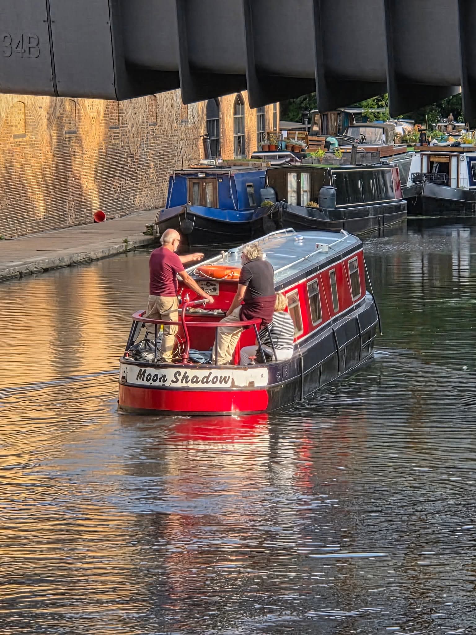
Photo 7: untitled
rnrn
rnrn
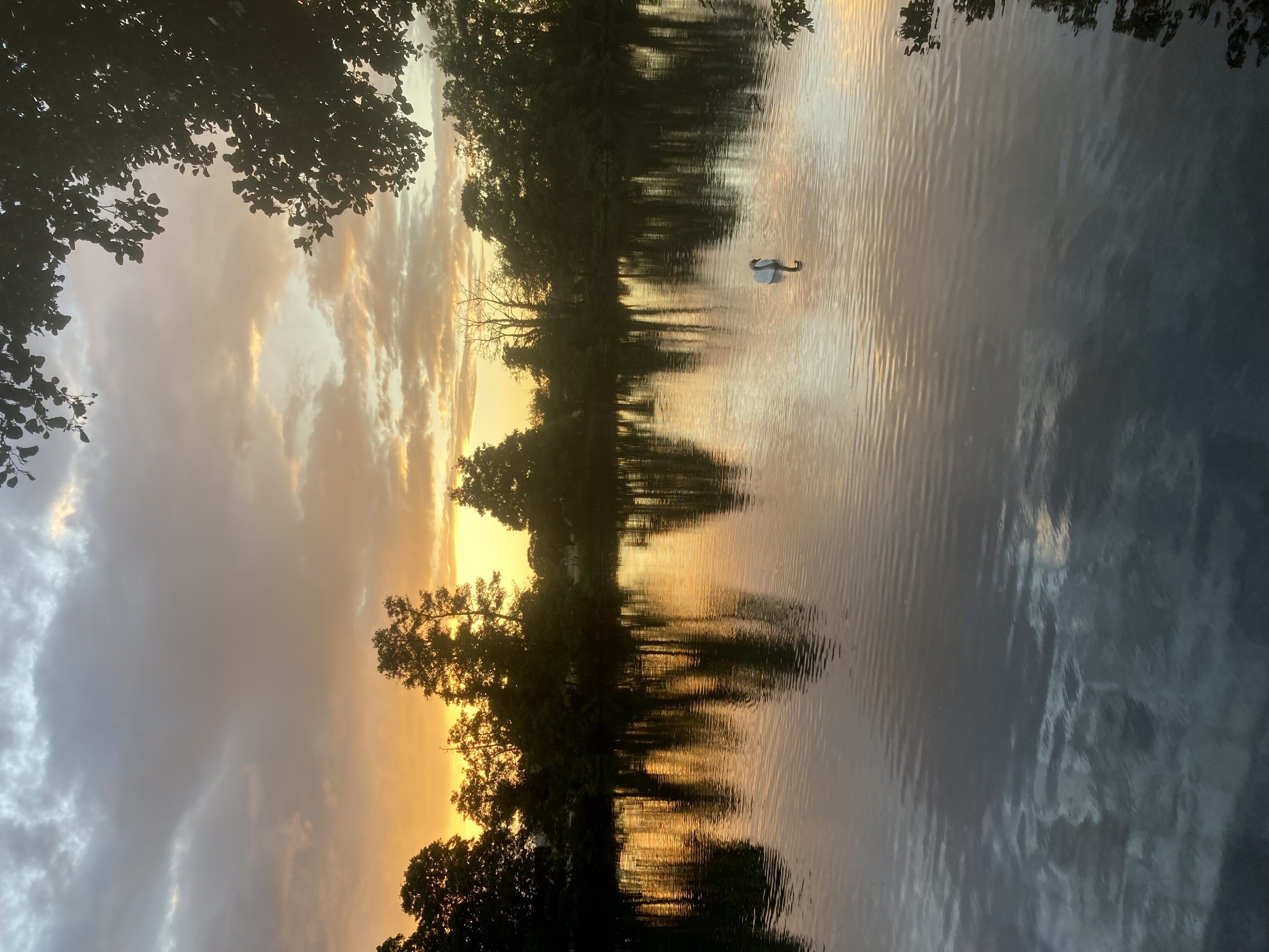
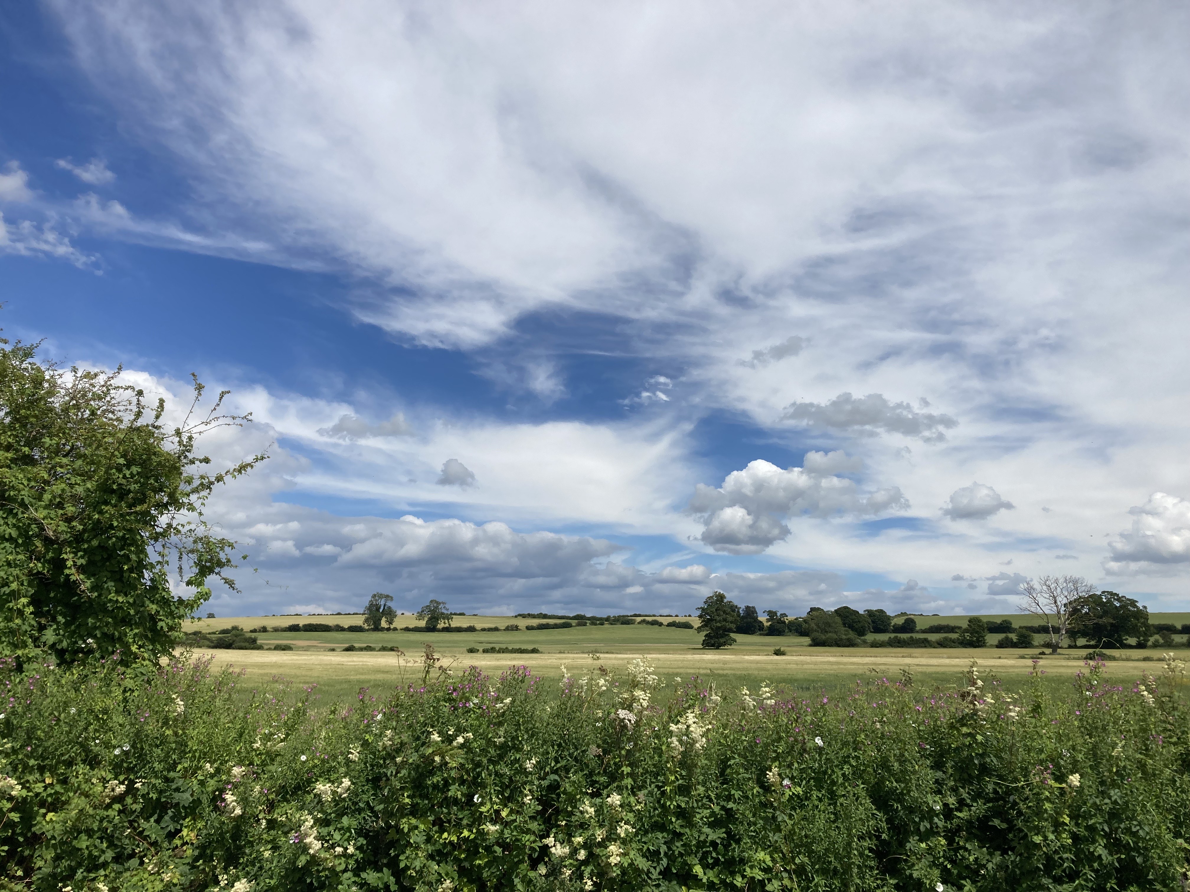
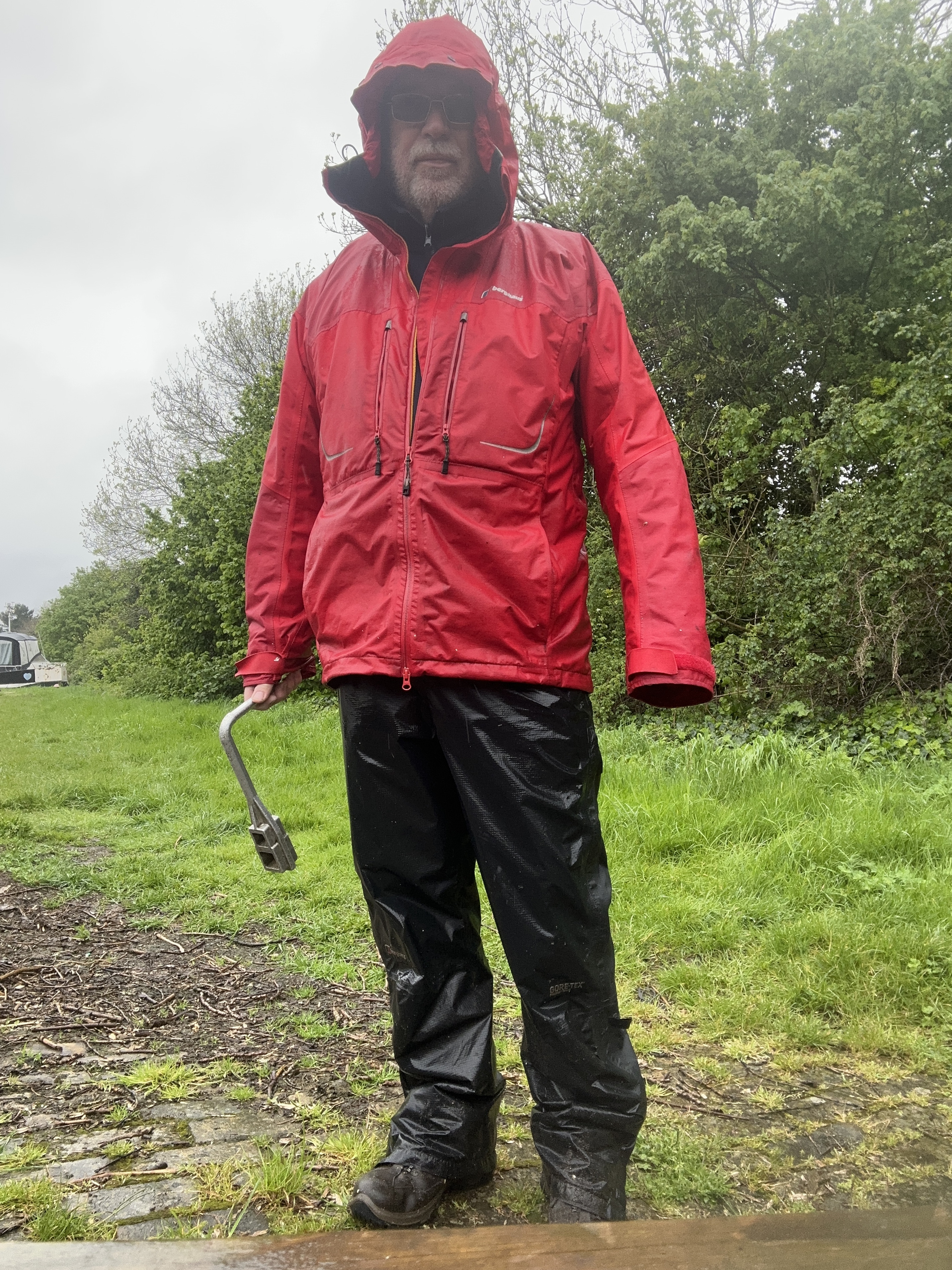
Photo 8: After the rain Cliveden summer 2025
rnrn
rnrn
Photo 9: After the rain Cliveden summer 2025
rnrn
rnrn
Photo 10: After the rain Cliveden summer 2025
rnrn
rnrn
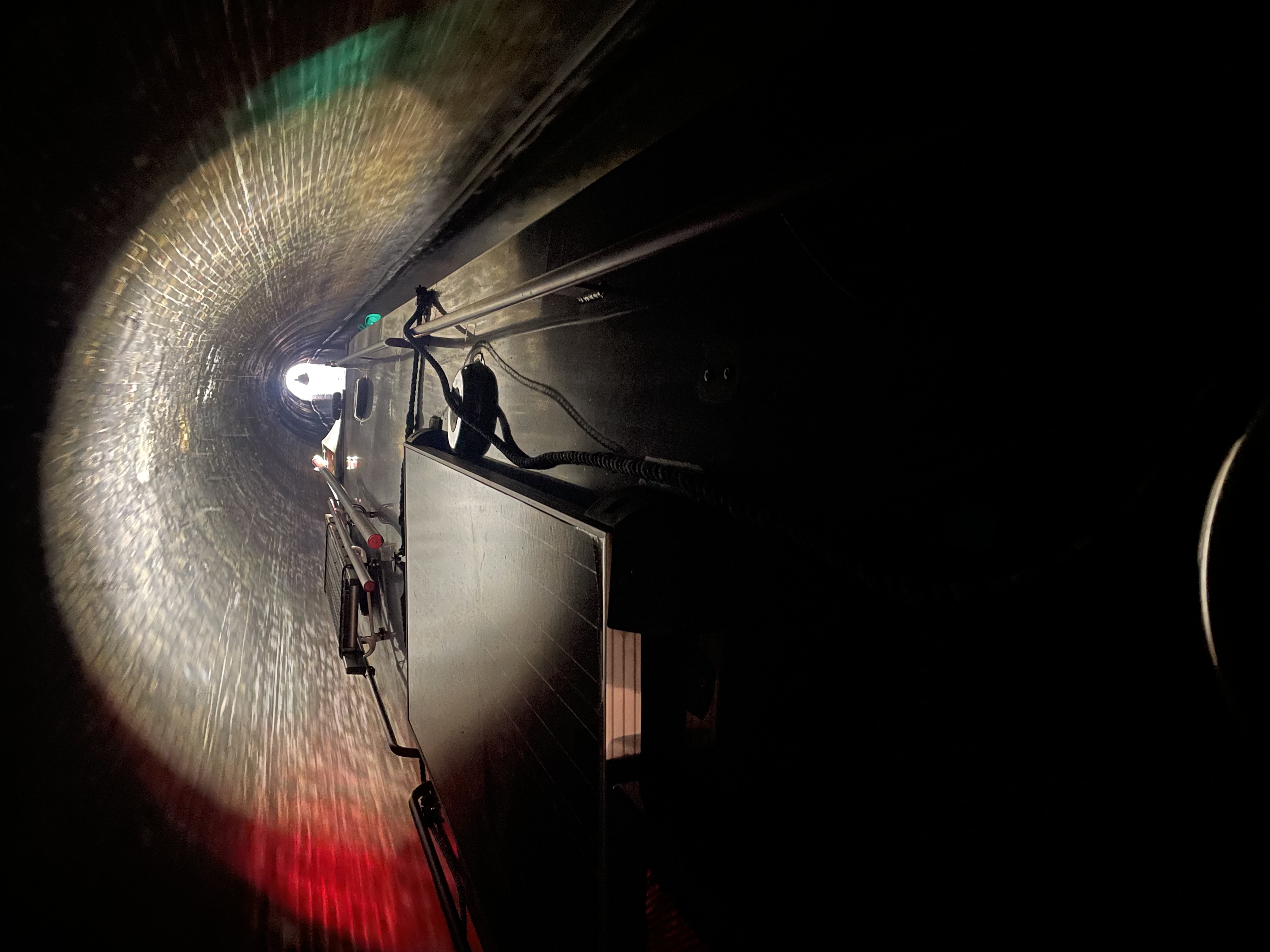
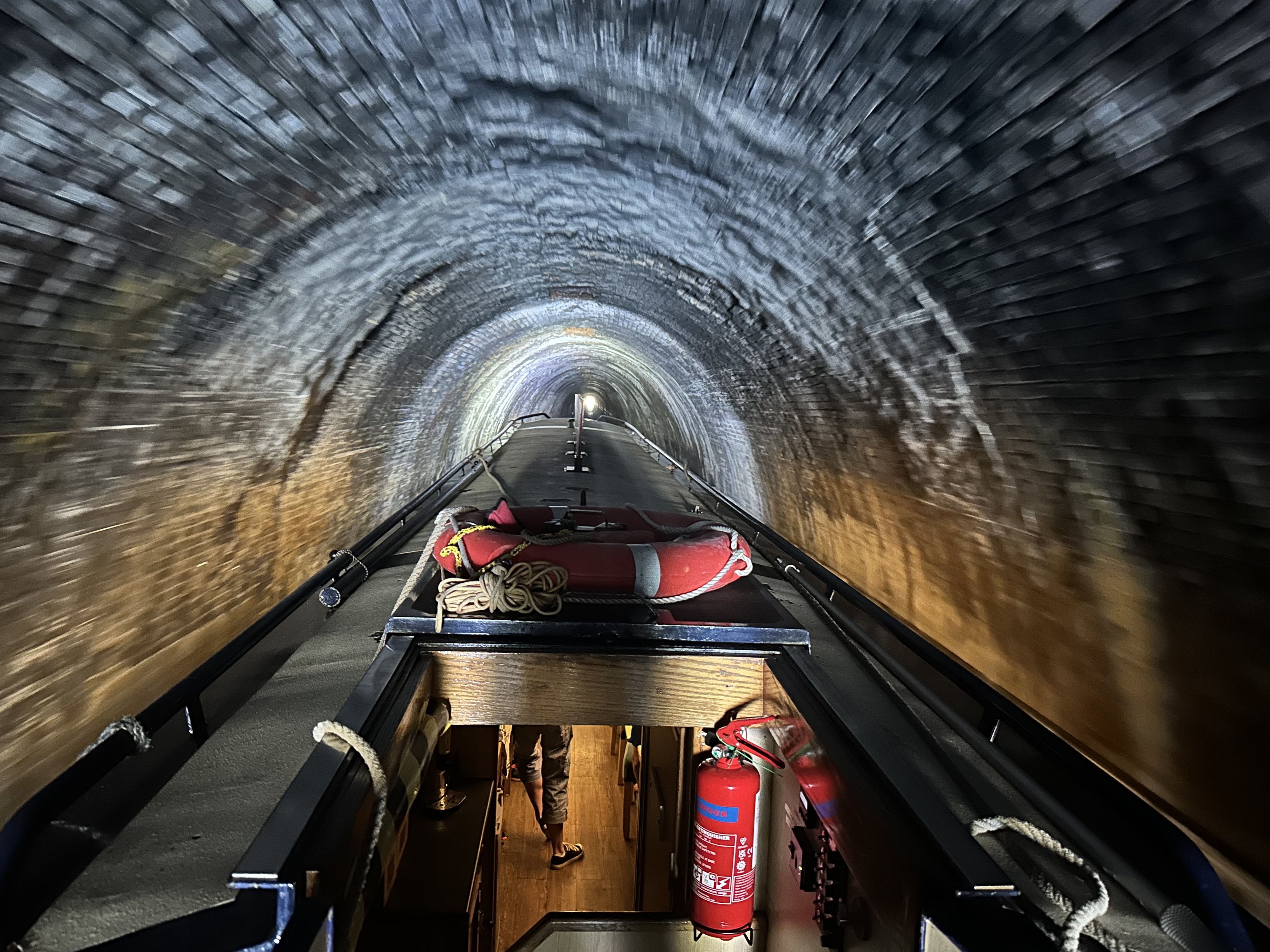
Photo 11: Islington tunnel Icicle Cruise 2025
rnrn
rnrn
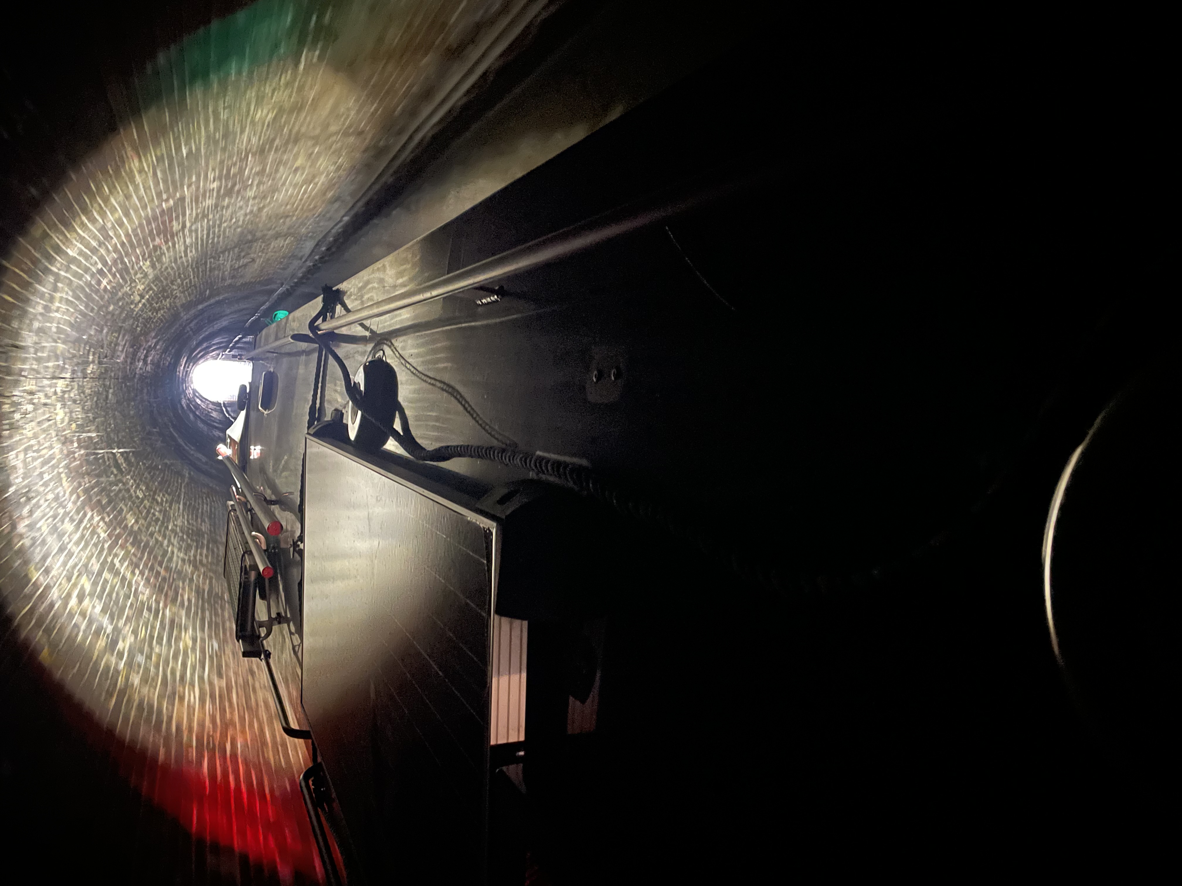
Photo 12: Islington tunnel Icicle Cruise 2025
rnrn
rnrn
Photo 13: Islington tunnel Icicle Cruise 2025
rnrn
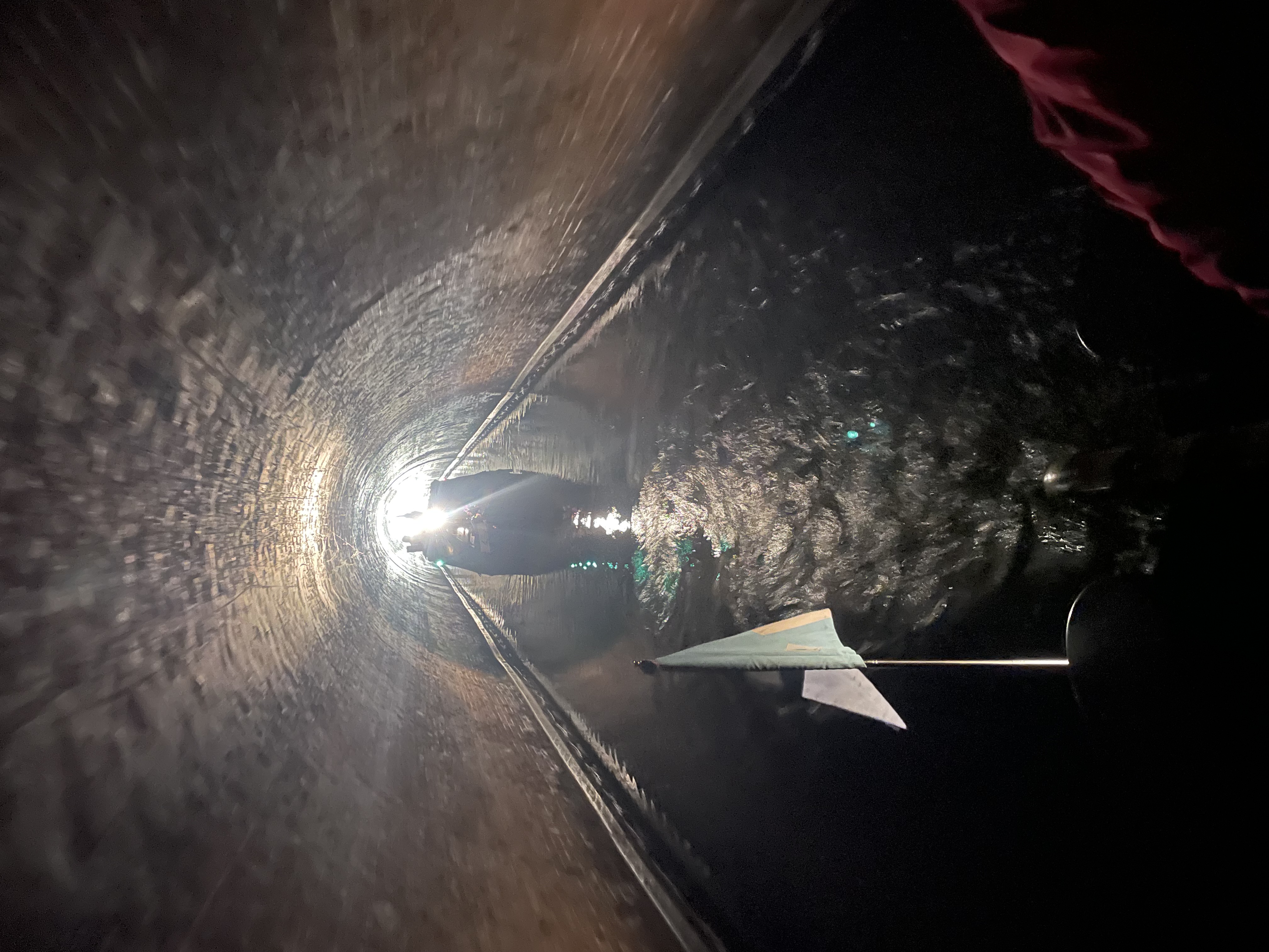
rnrn
Photo 14: Islington tunnel Icicle Cruise 2025
rnrn
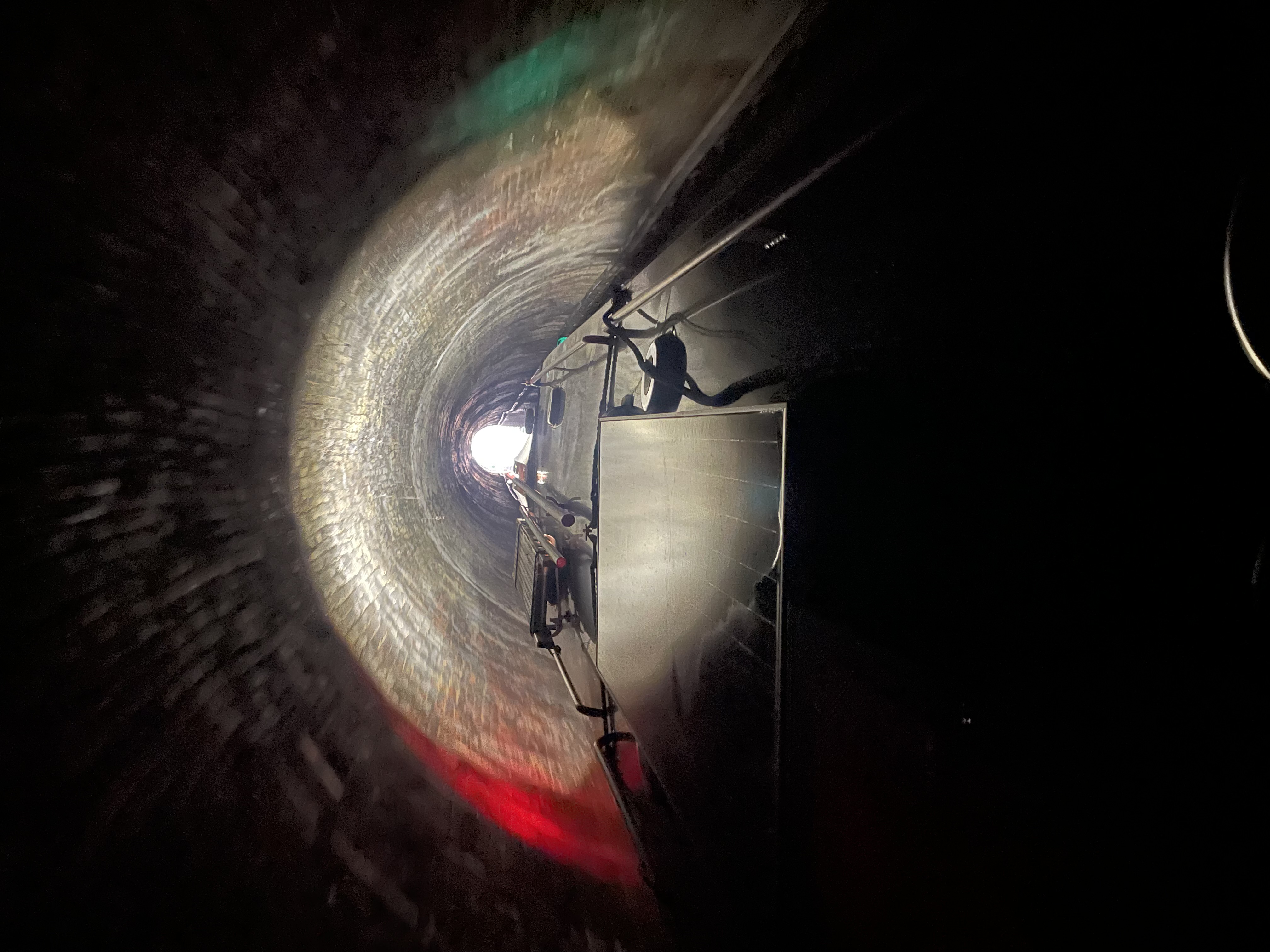
rnrn
Photo 15: Islington tunnel Icicle Cruise 2025
rnrn
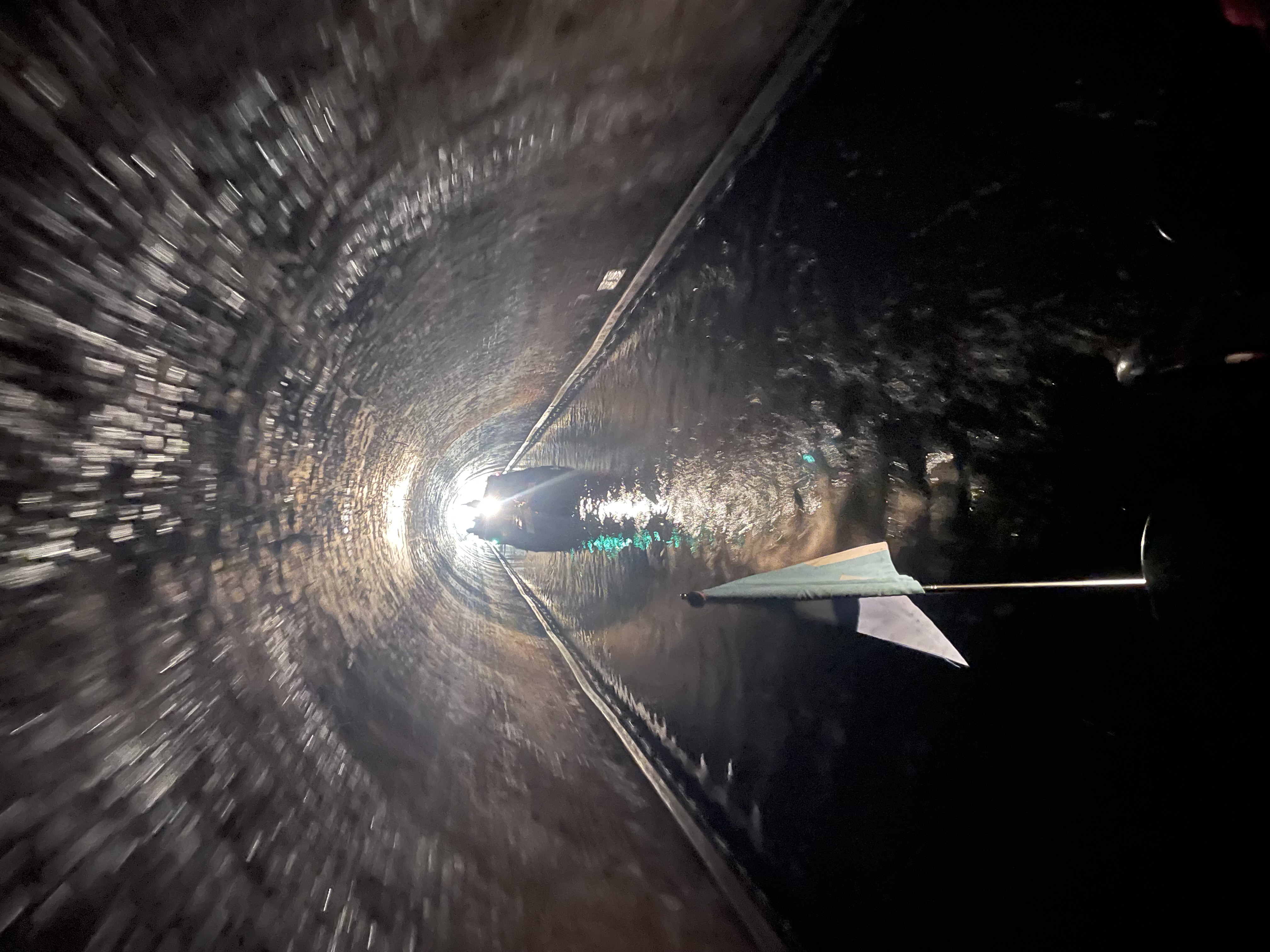
rnrn
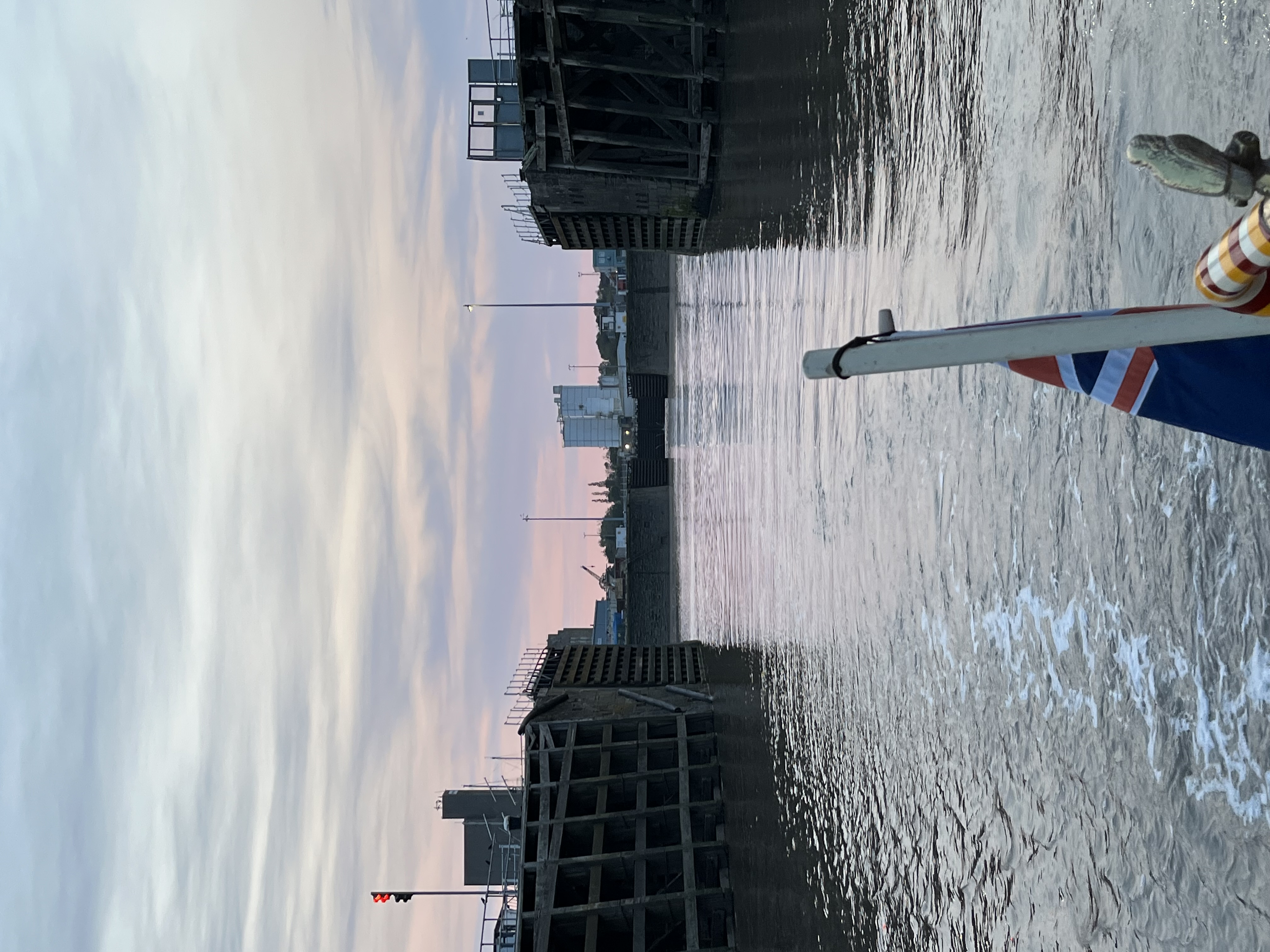
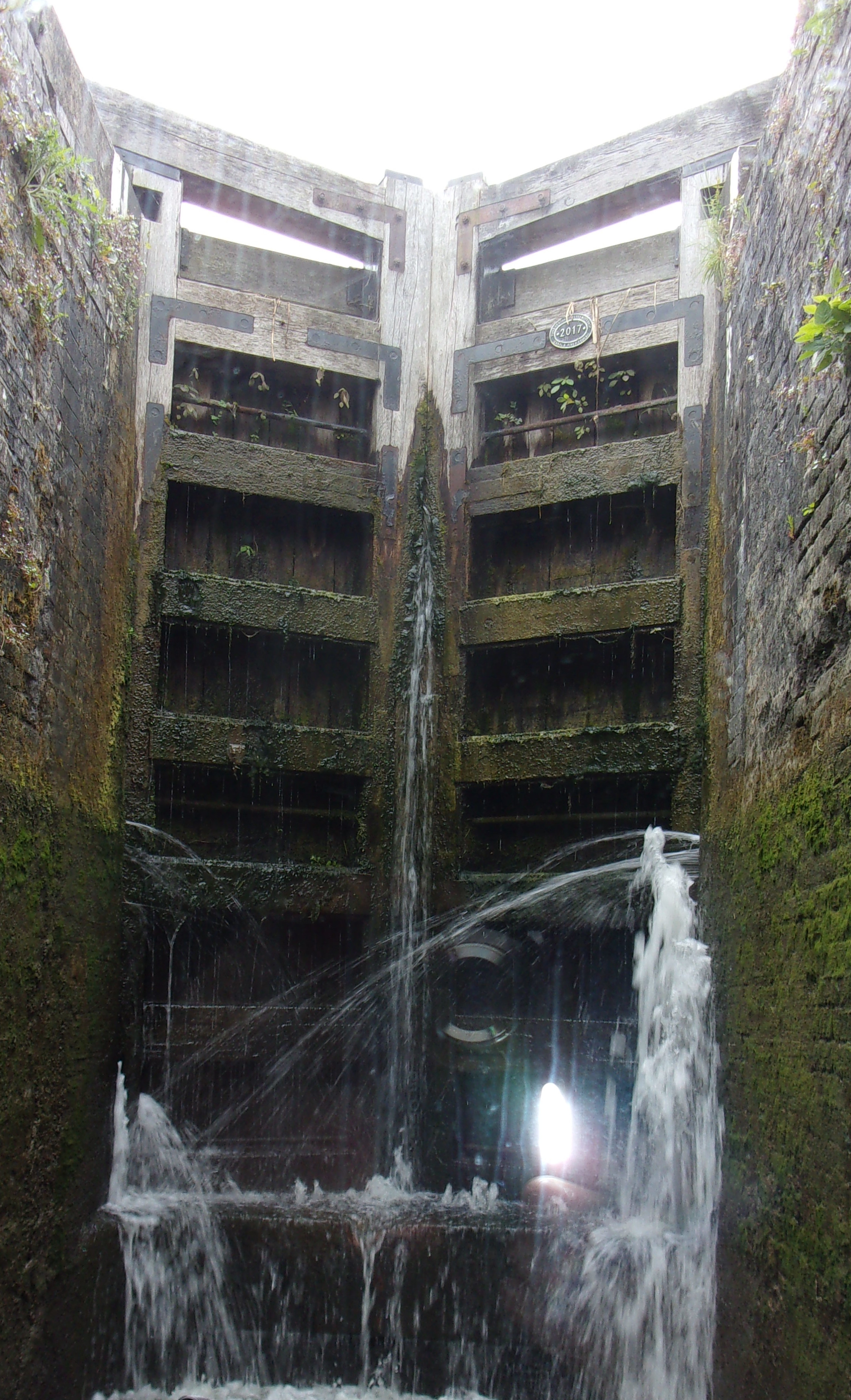
Photo 16: Boston Stump – arriving from Wisbech
rnrn
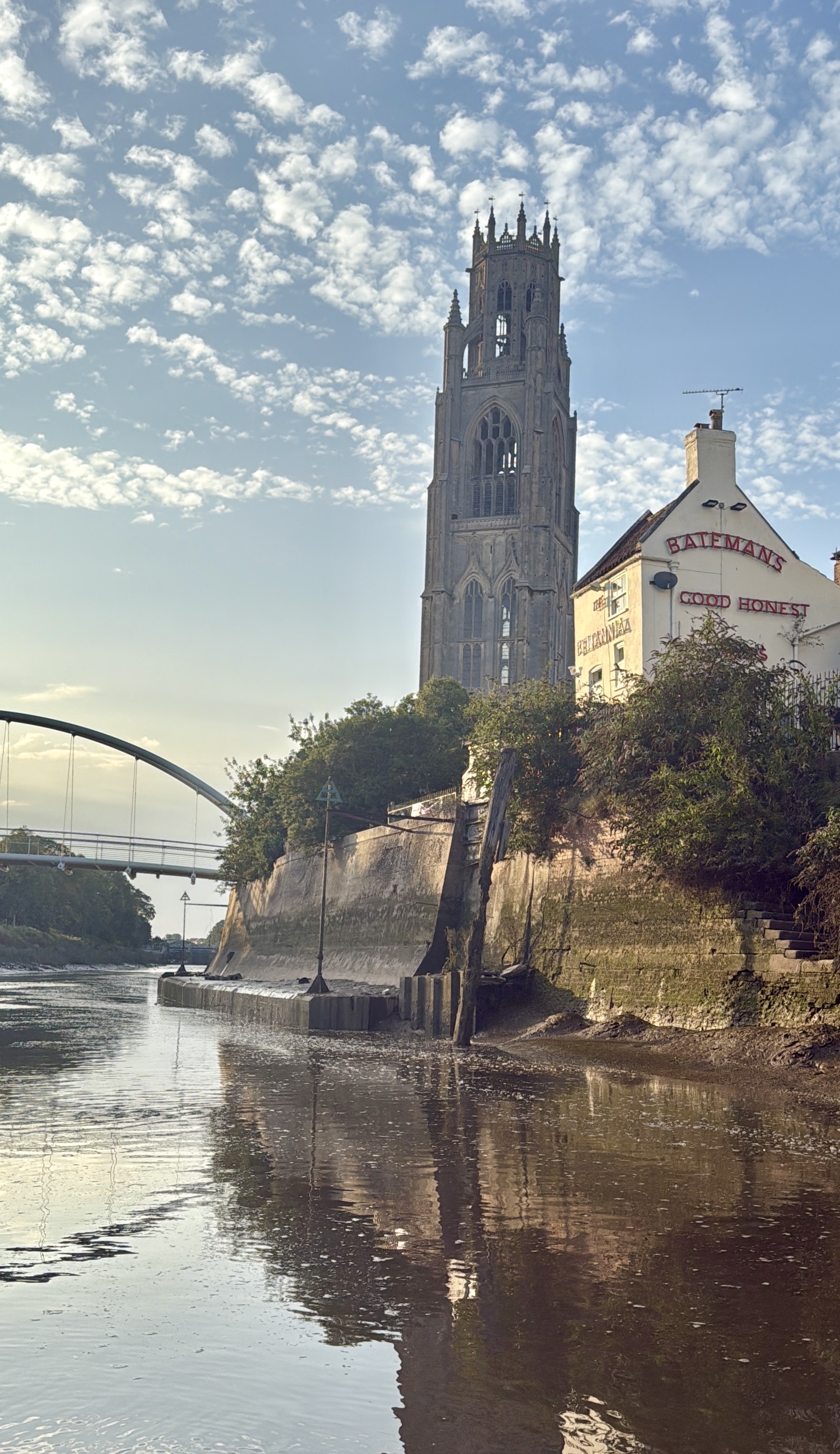
rnrn
Photo 17: Commodore and First Lady with Baroness
rnrn

rnrn
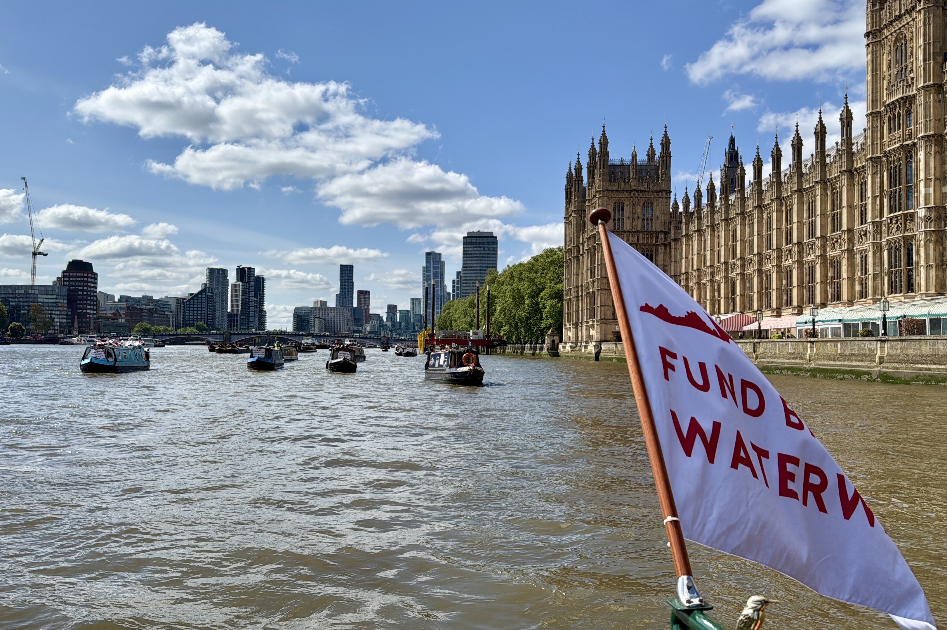
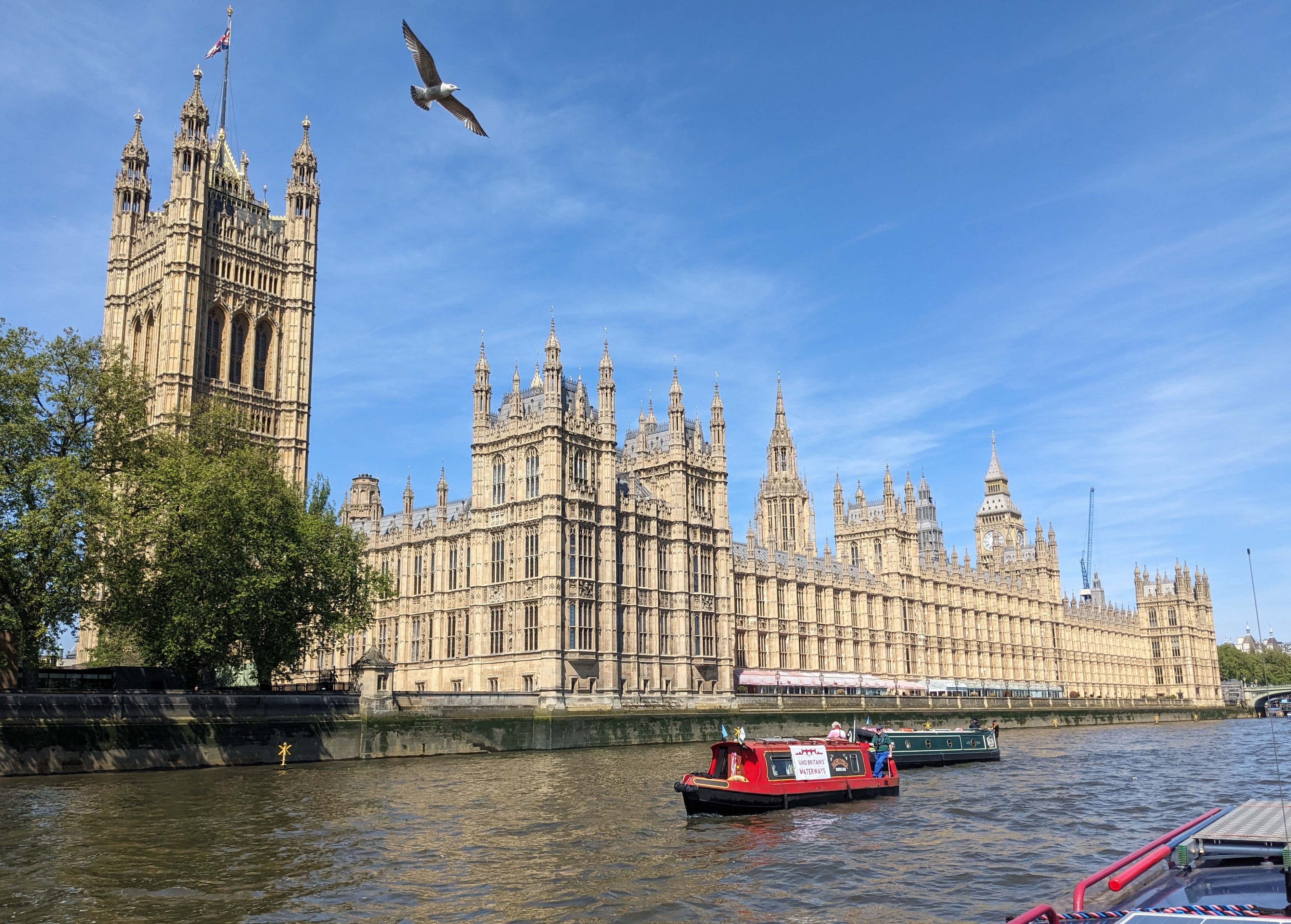
Photo 18: Campaigning at Westminster
rnrn
rnrn
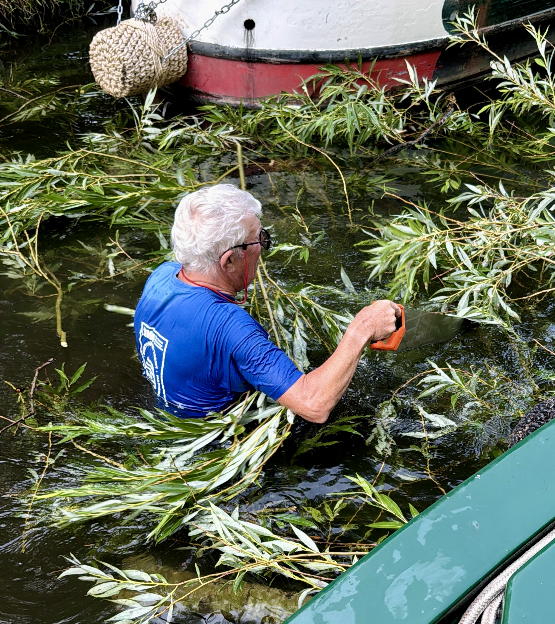
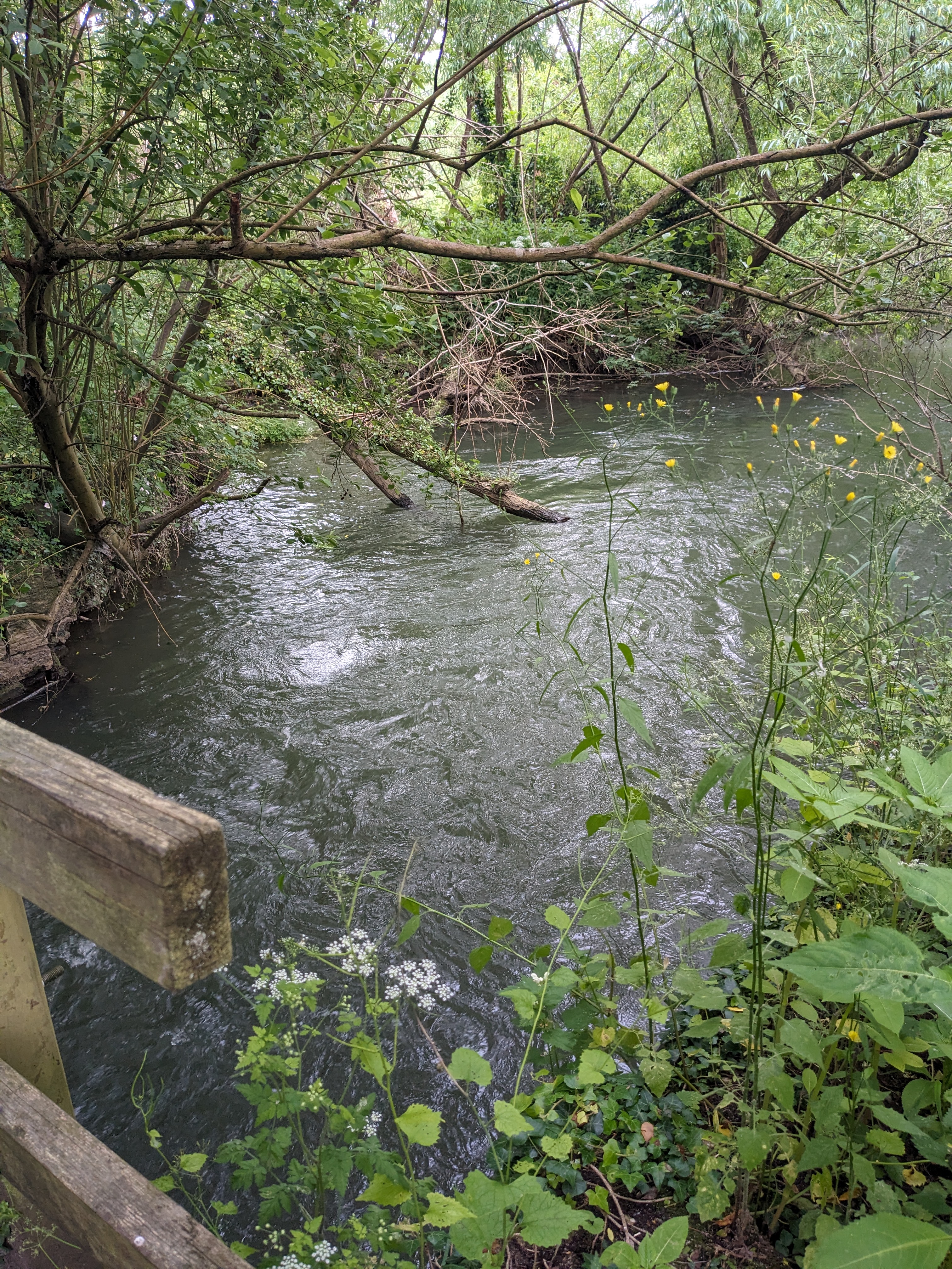
Photo 19: Arboriculture on the Trent and Mersey
rnrn
rnrn
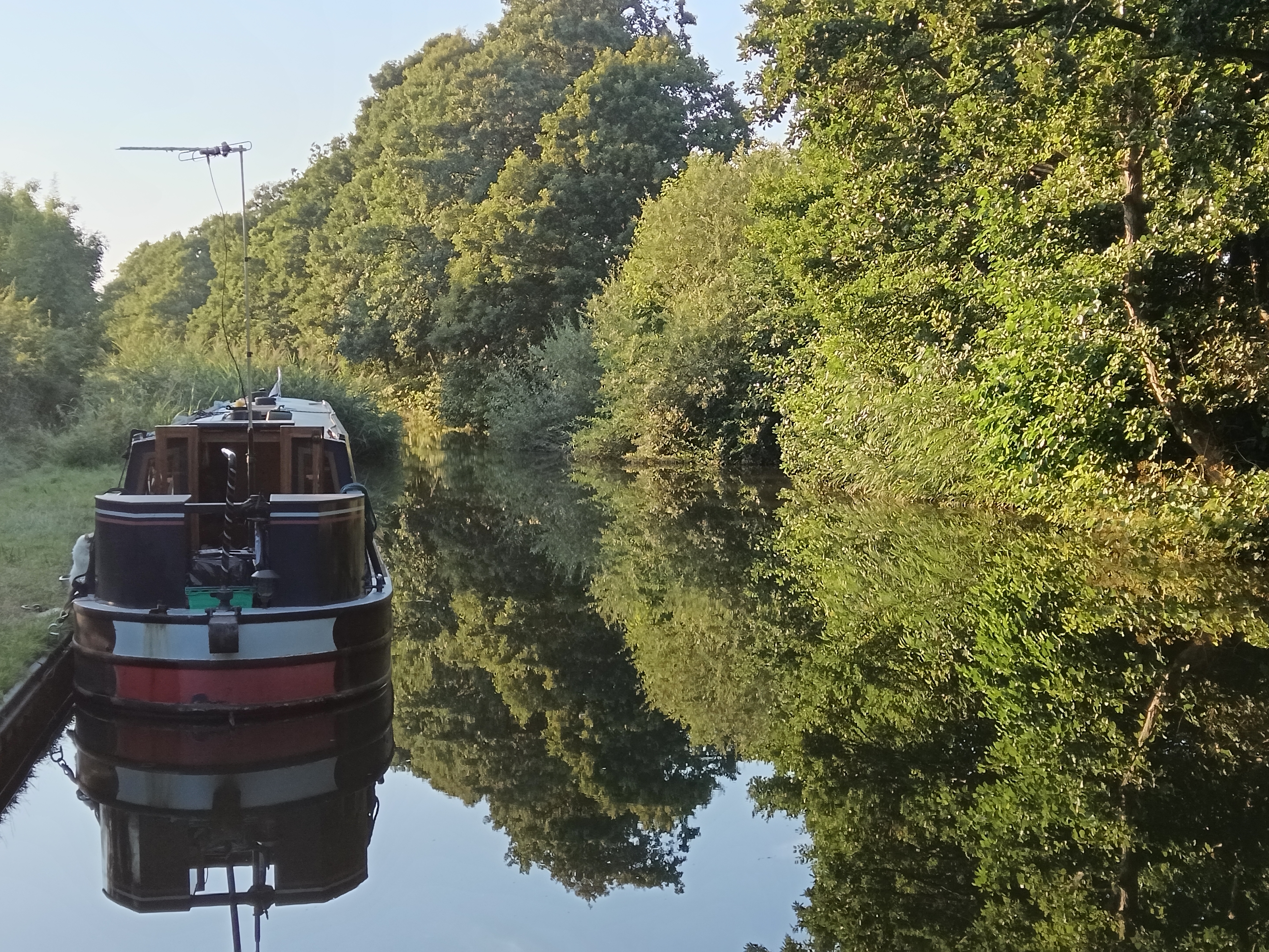
Photo 20: Early spring boating
rnrn
rnrn
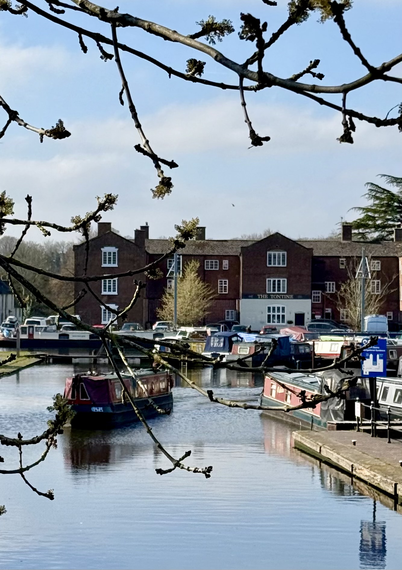
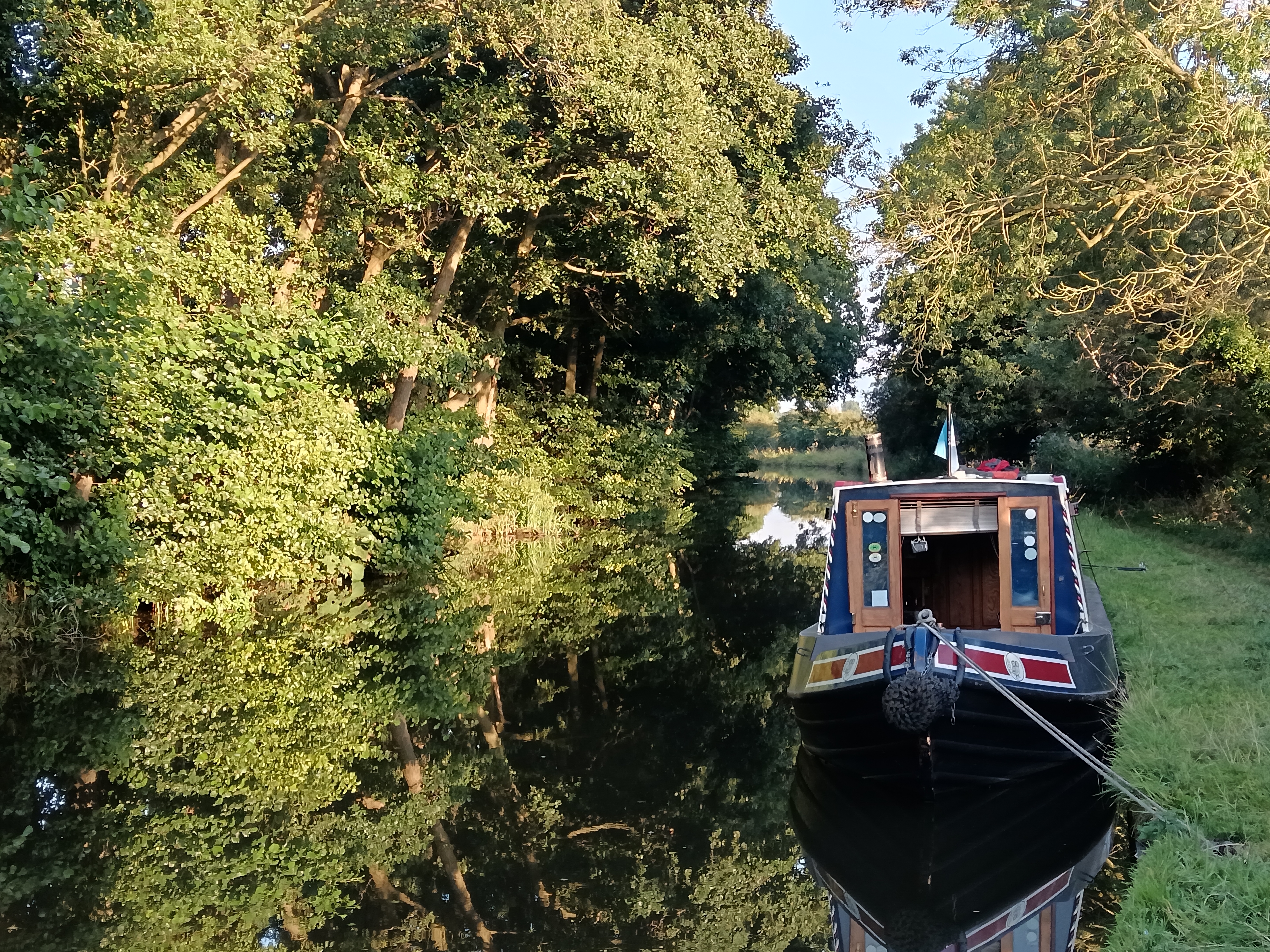
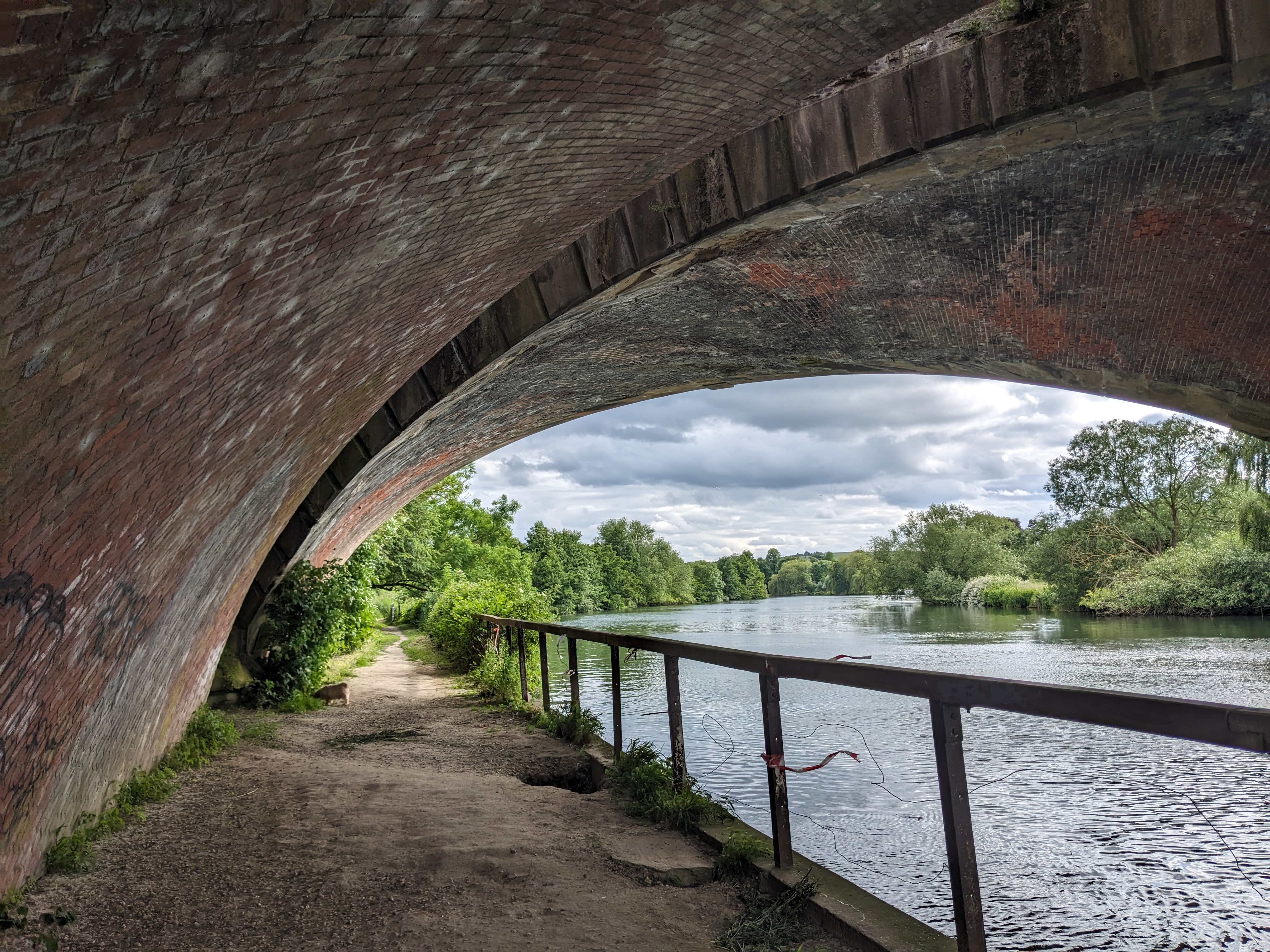
Photo 21: Our Bridge
rnrn
rnrn
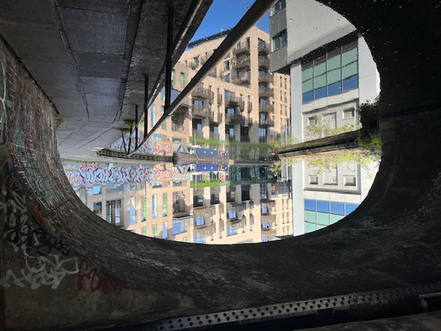
Photo 22: Festival Night
rnrn
rnrn
Photo 23: Watching
rnrn
rnrn
Photo 24: A Man at Peace with Himself
rnrn

rnrn
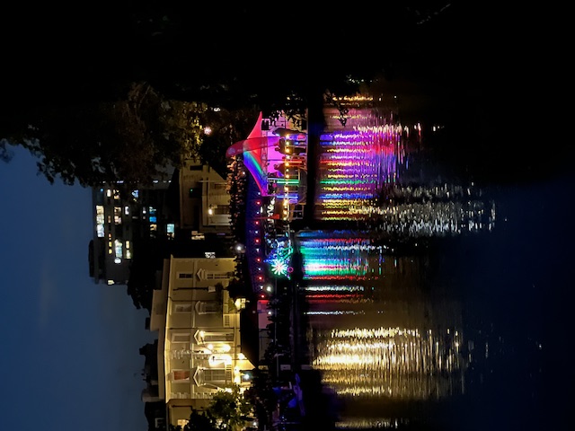
Photo 25: Illuminations
rnrn
rnrn
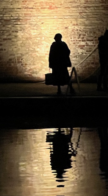
Photo 26: Only the shoes know why
rnrn
rnrn
Photo 27: untitled
rnrn
rnrn
Photo 28: untitled
rnrn
rnrn
Photo 29: Fiona Burt in Tarporley kitchen
rnrn
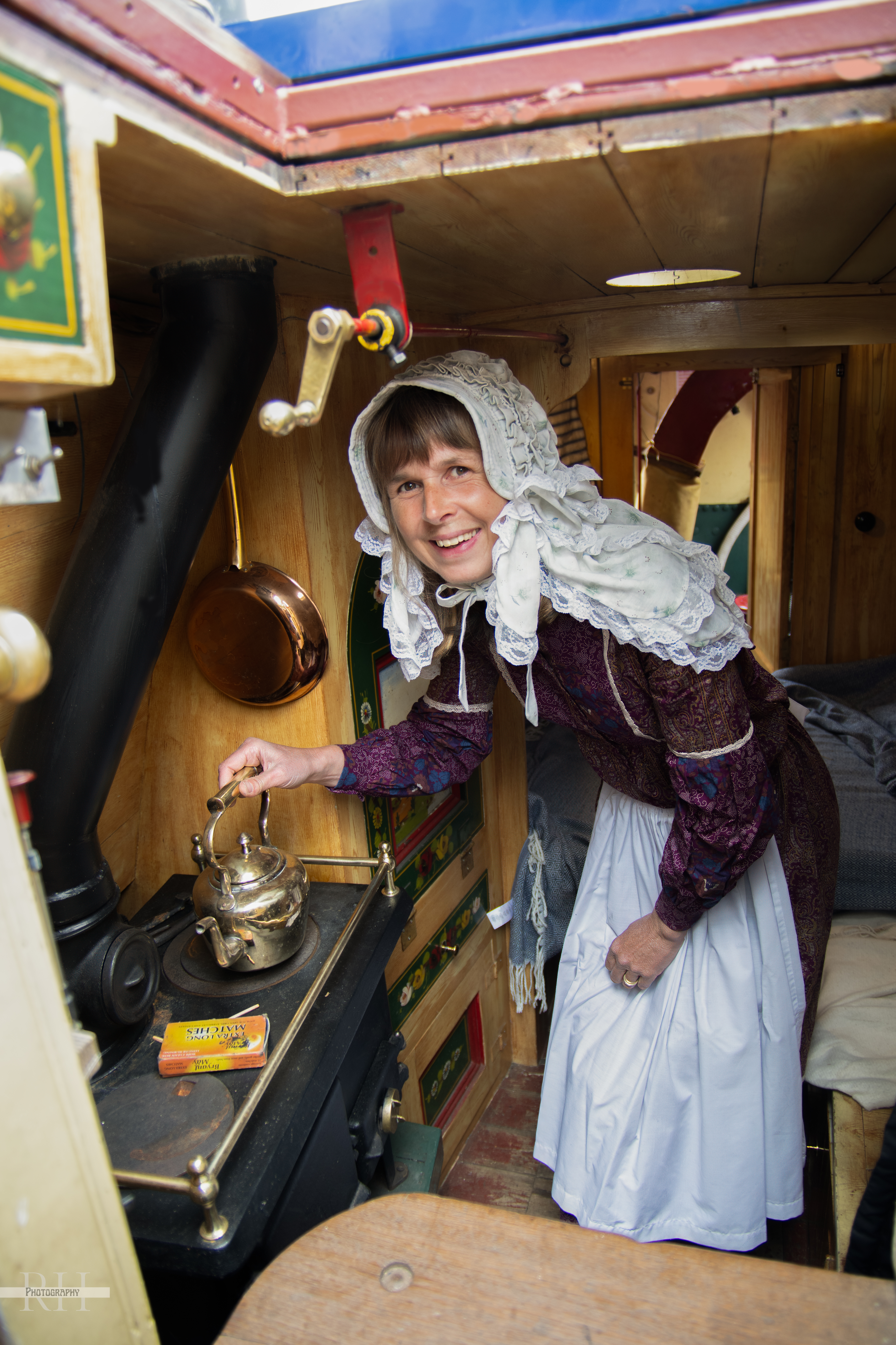
rnrn
Photo 30: Steve and Fiona Burt on Tarporley
rnrn
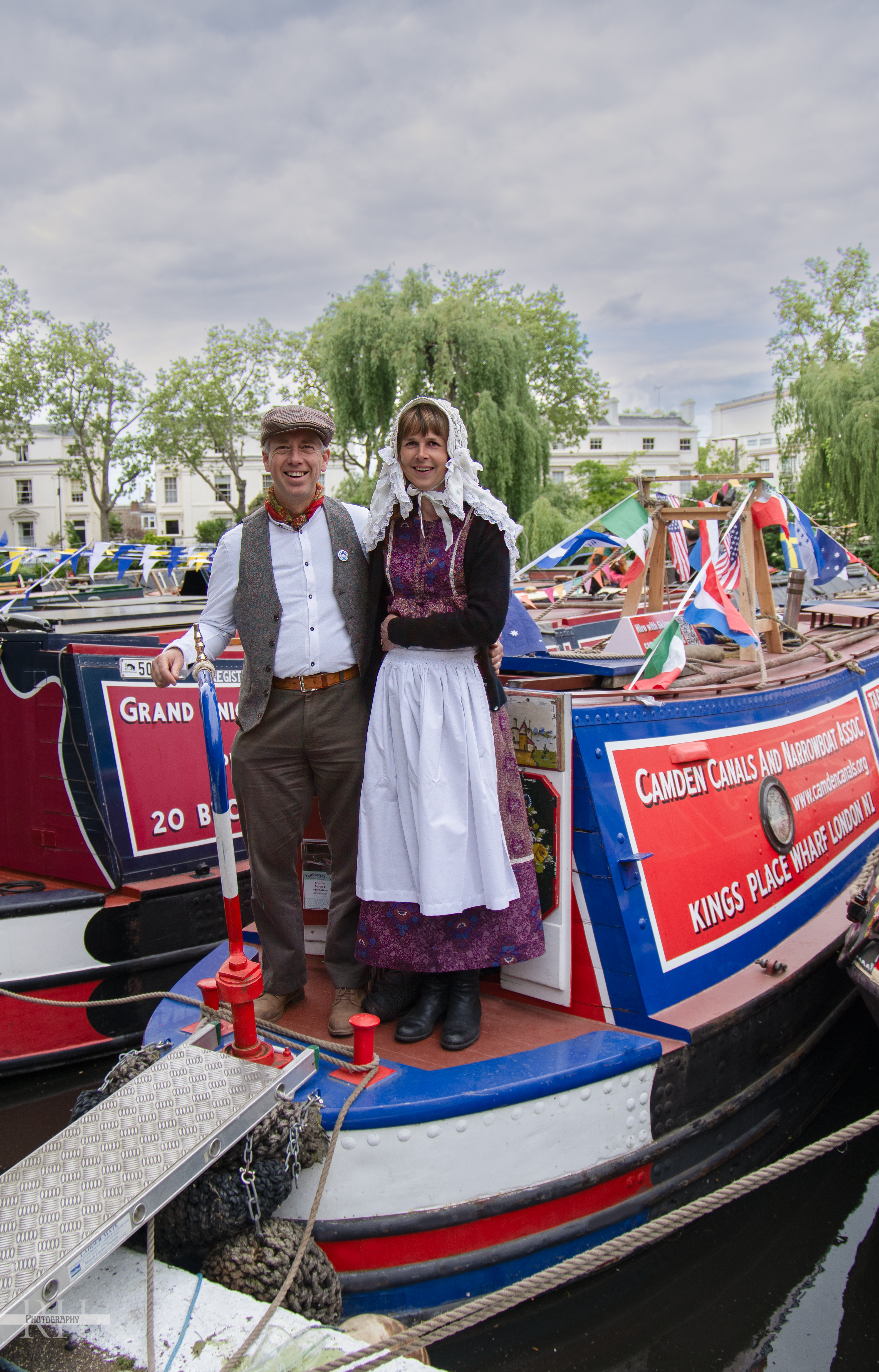
rnrn
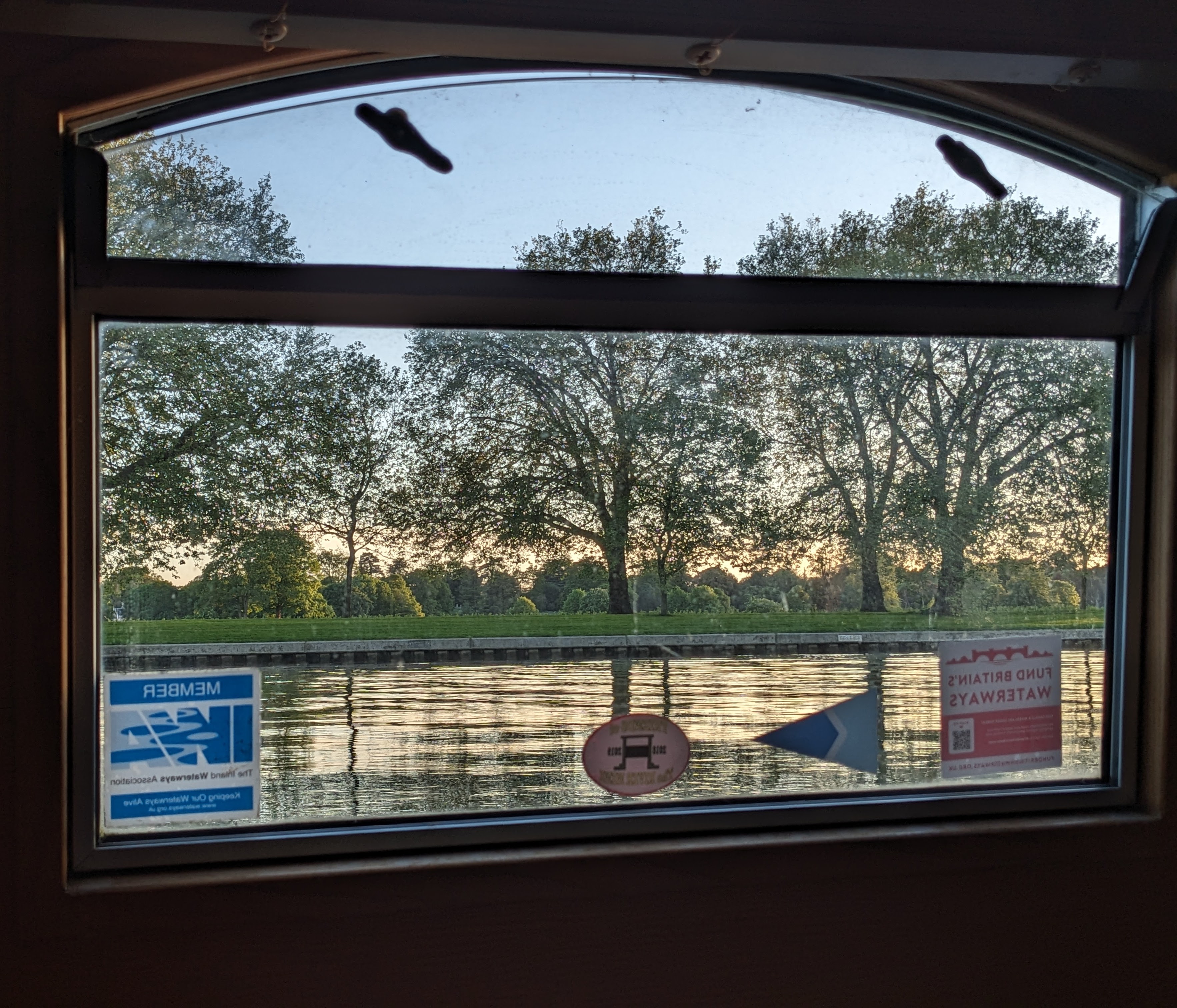
Photo 31: Lush
rnrn
rnrn
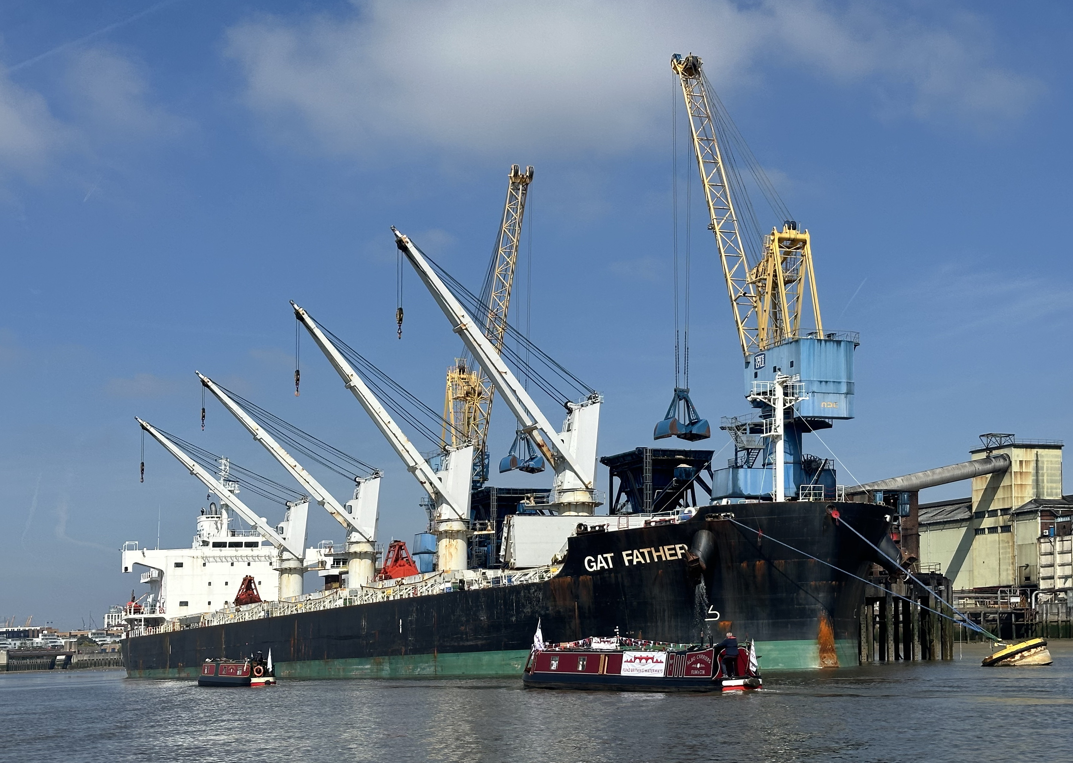
Photo 32: Departing West India
rnrn
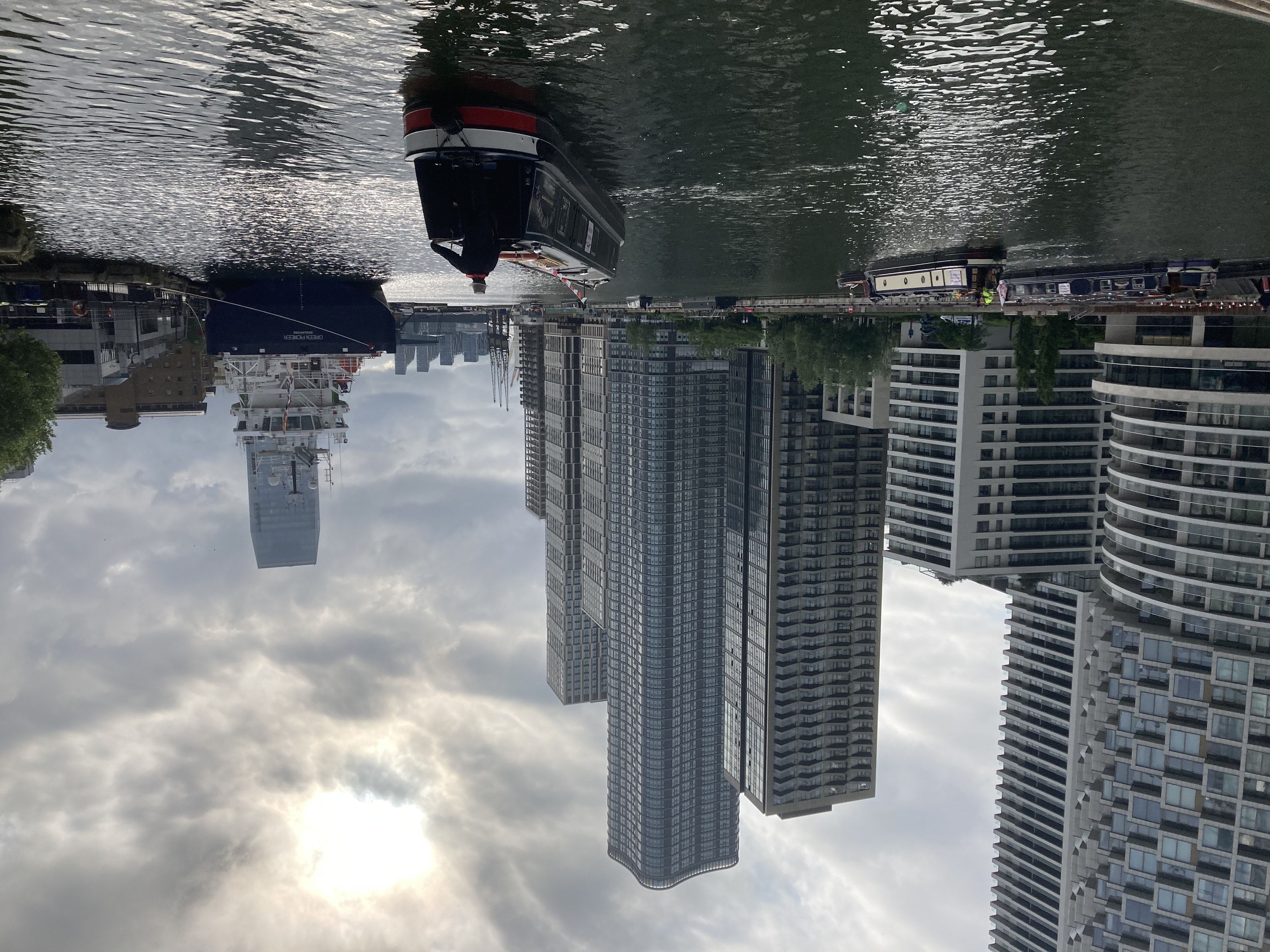
rnrn
Photo 33: Jules Fuels Hound
rnrn
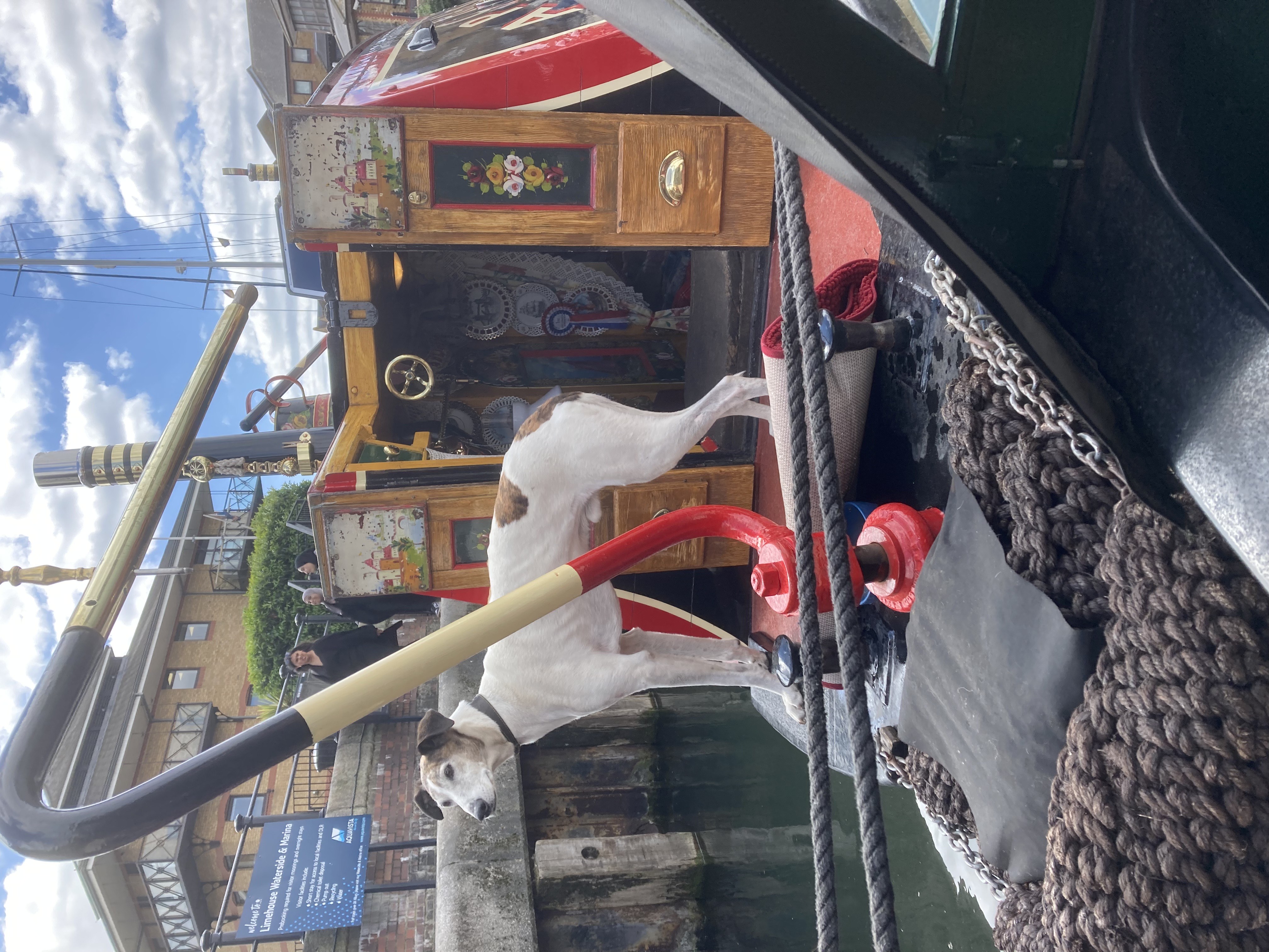
rnrn
Photo 34: Loughton Hills
rnrn
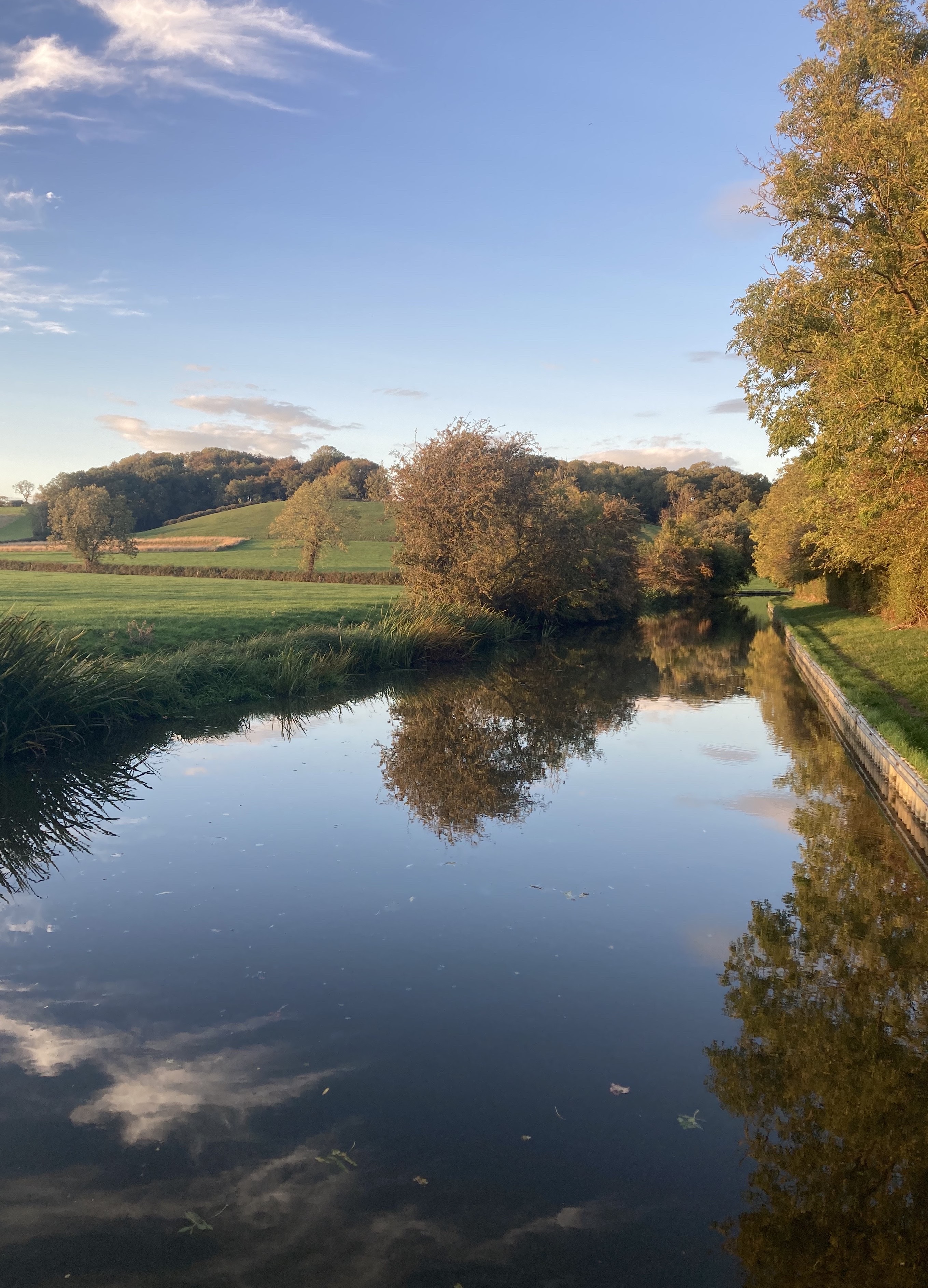
rnrn
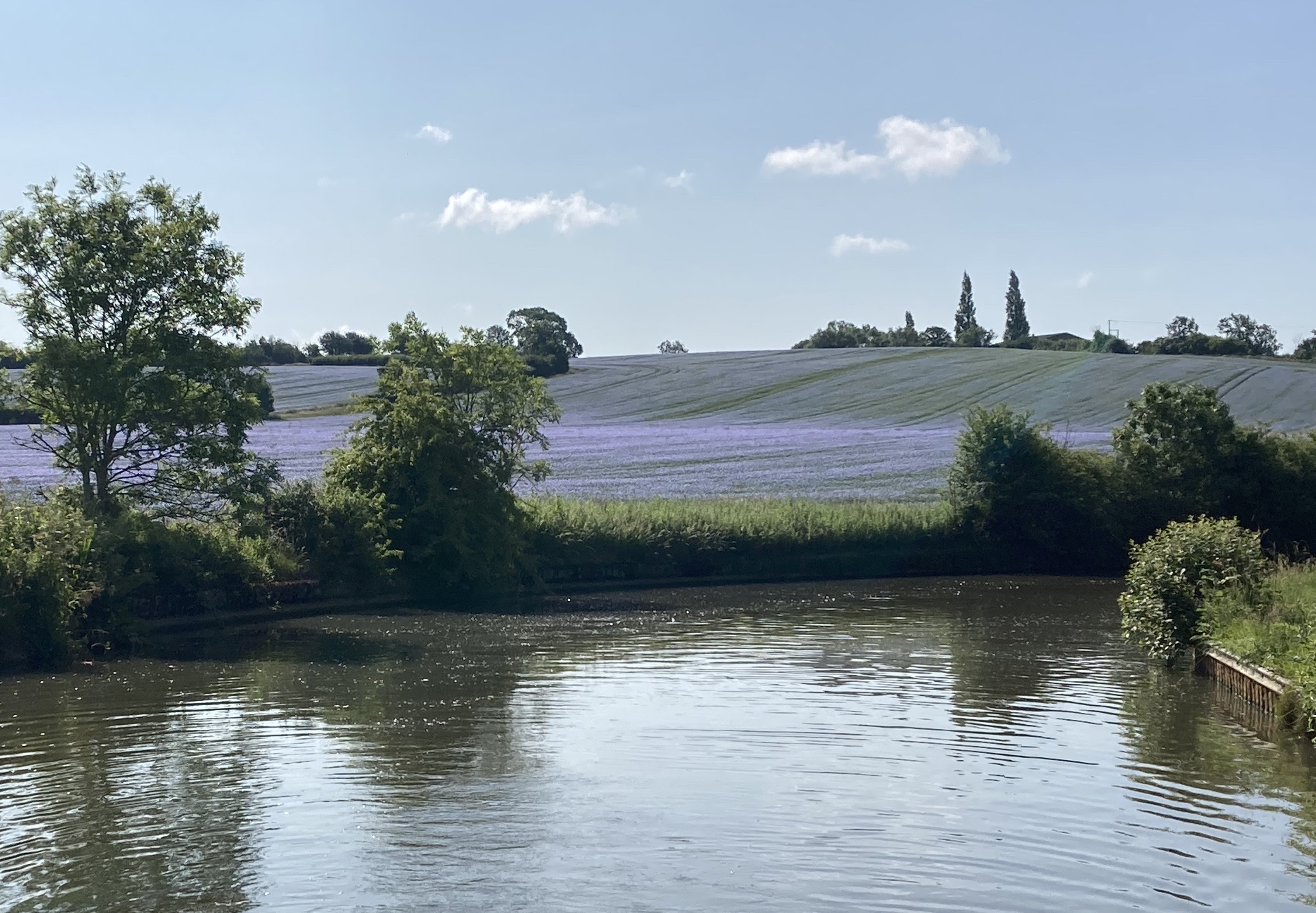
Photo 35: Linseed Flower Field
rnrn
rnrn
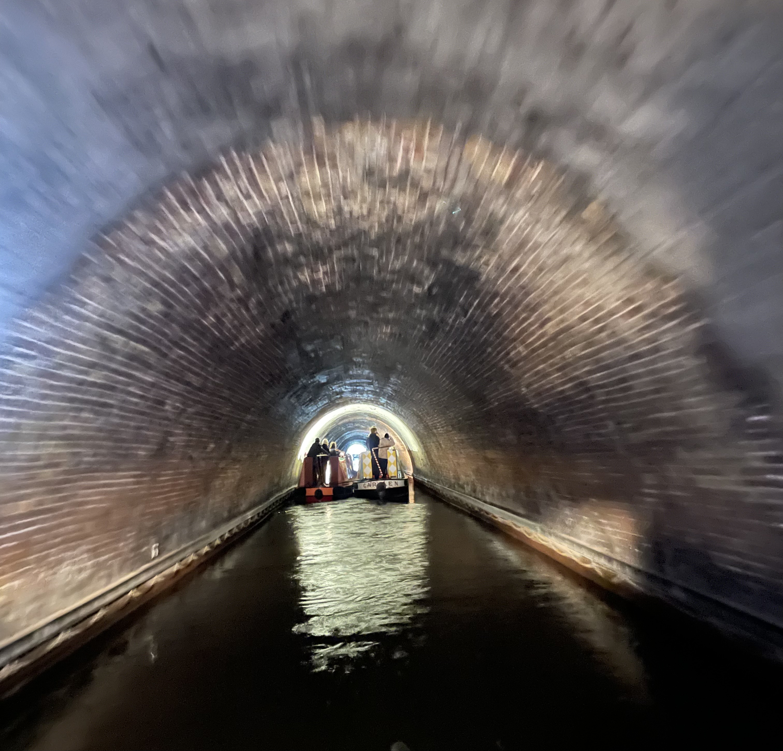
Photo 36: Towing in a tunnel
rnrn
rnrn
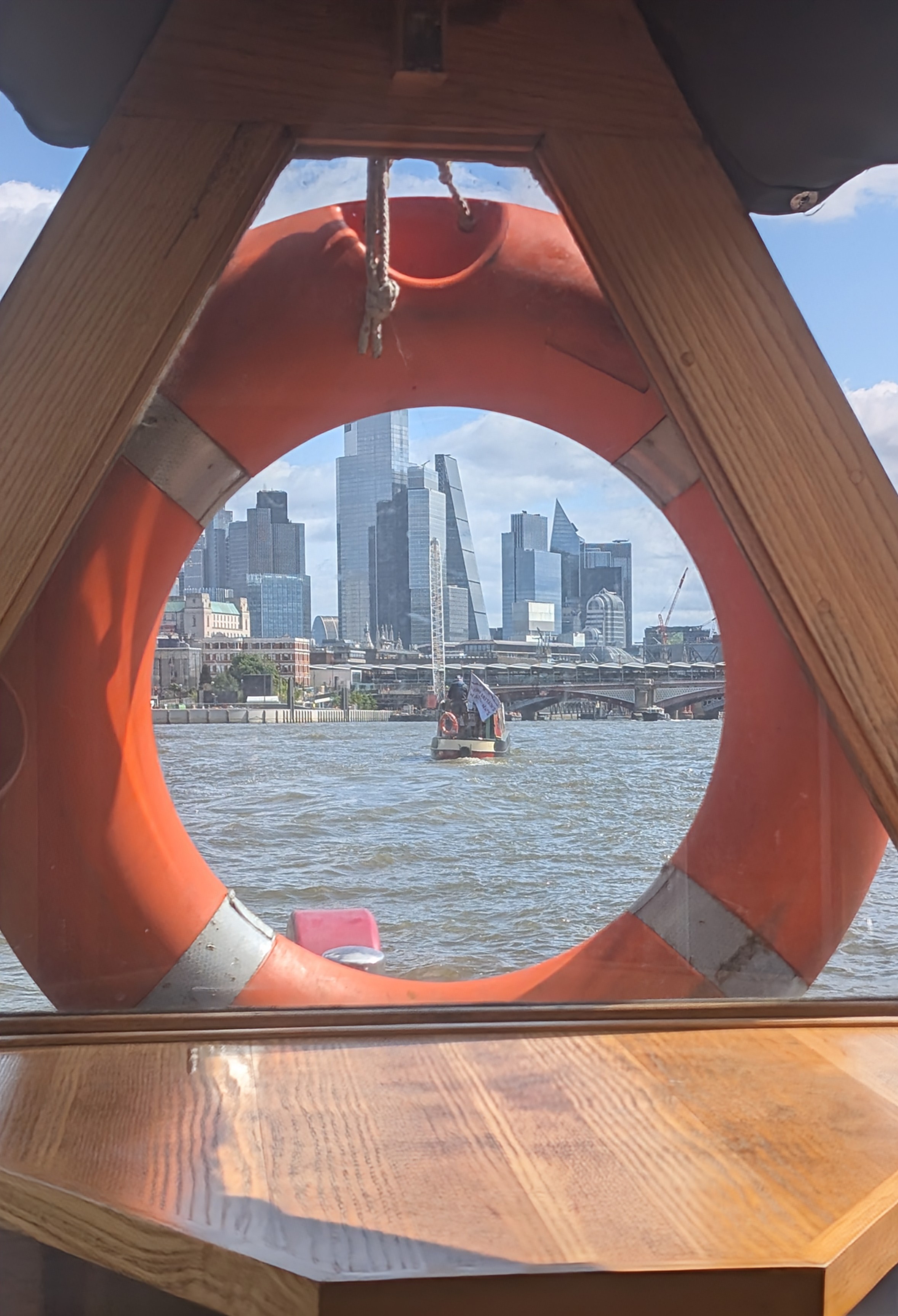
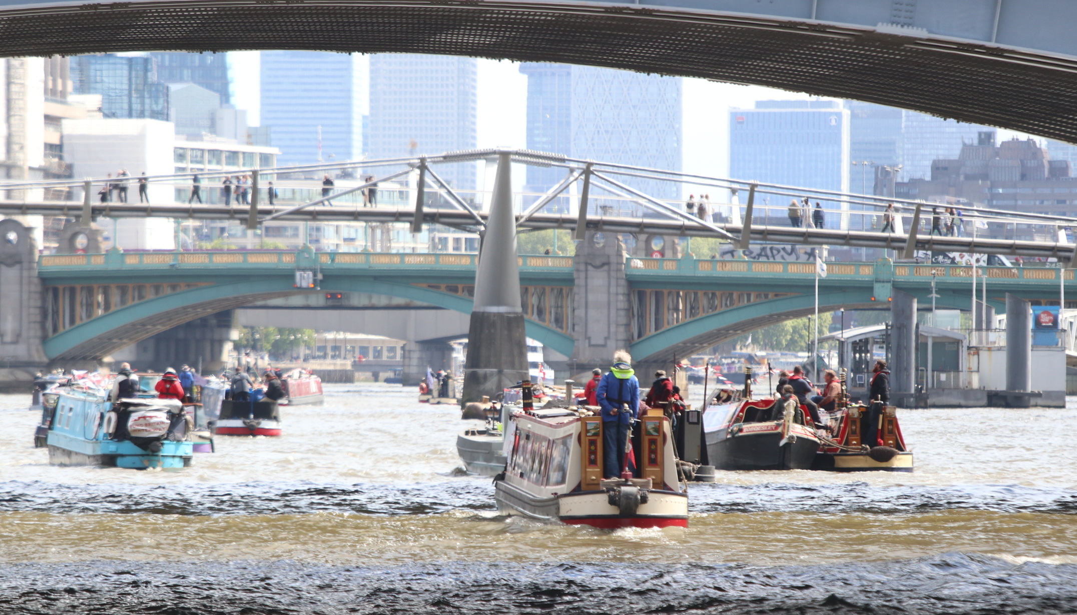
Photo 37: Fund Britain’s Waterways: Doris Katia approaching Blackfriars Bridge
rnrn
rnrn
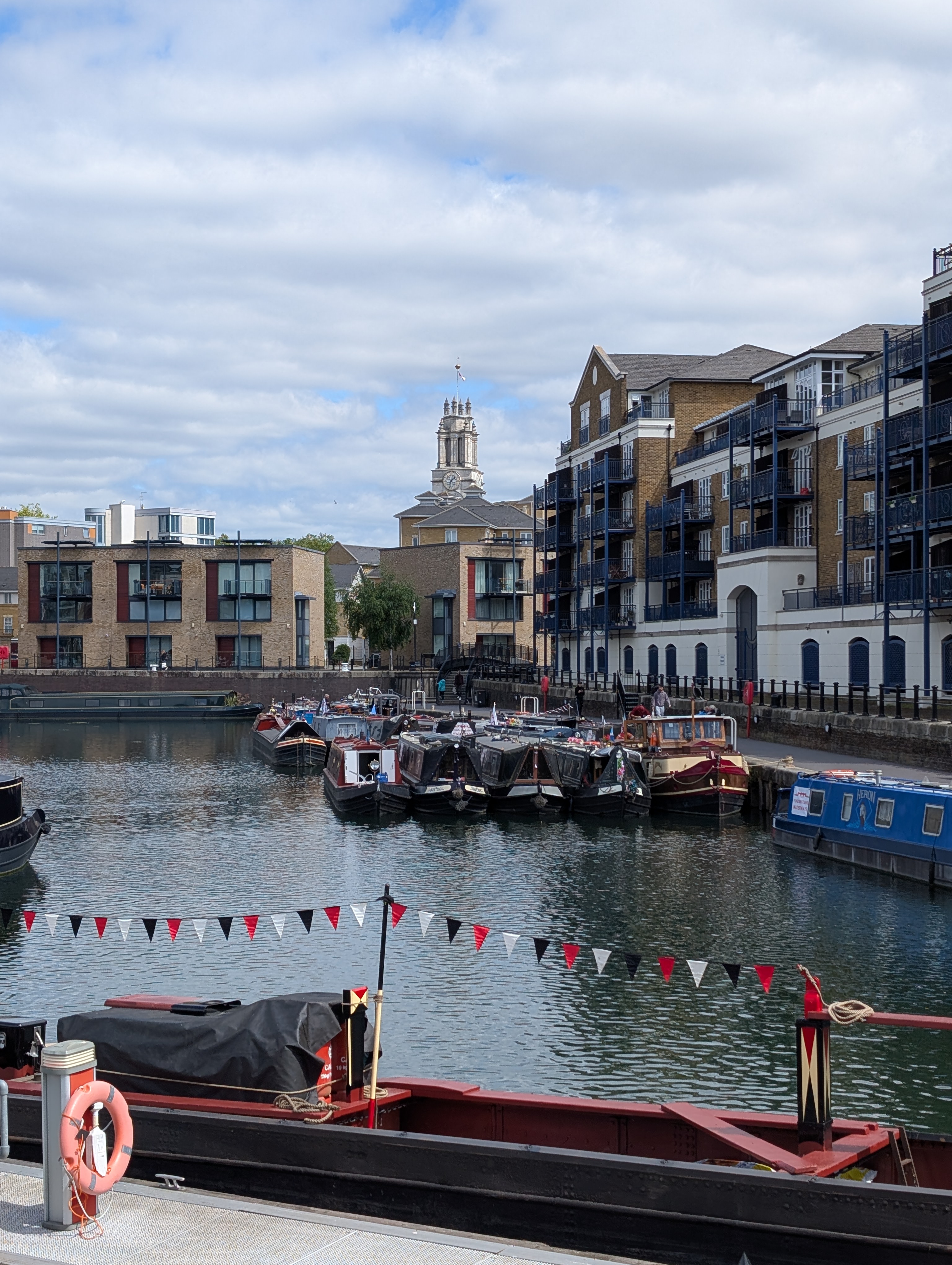
Photo 38: Limehouse Basin gathering for Fund British Waterways Cruise
rnrn
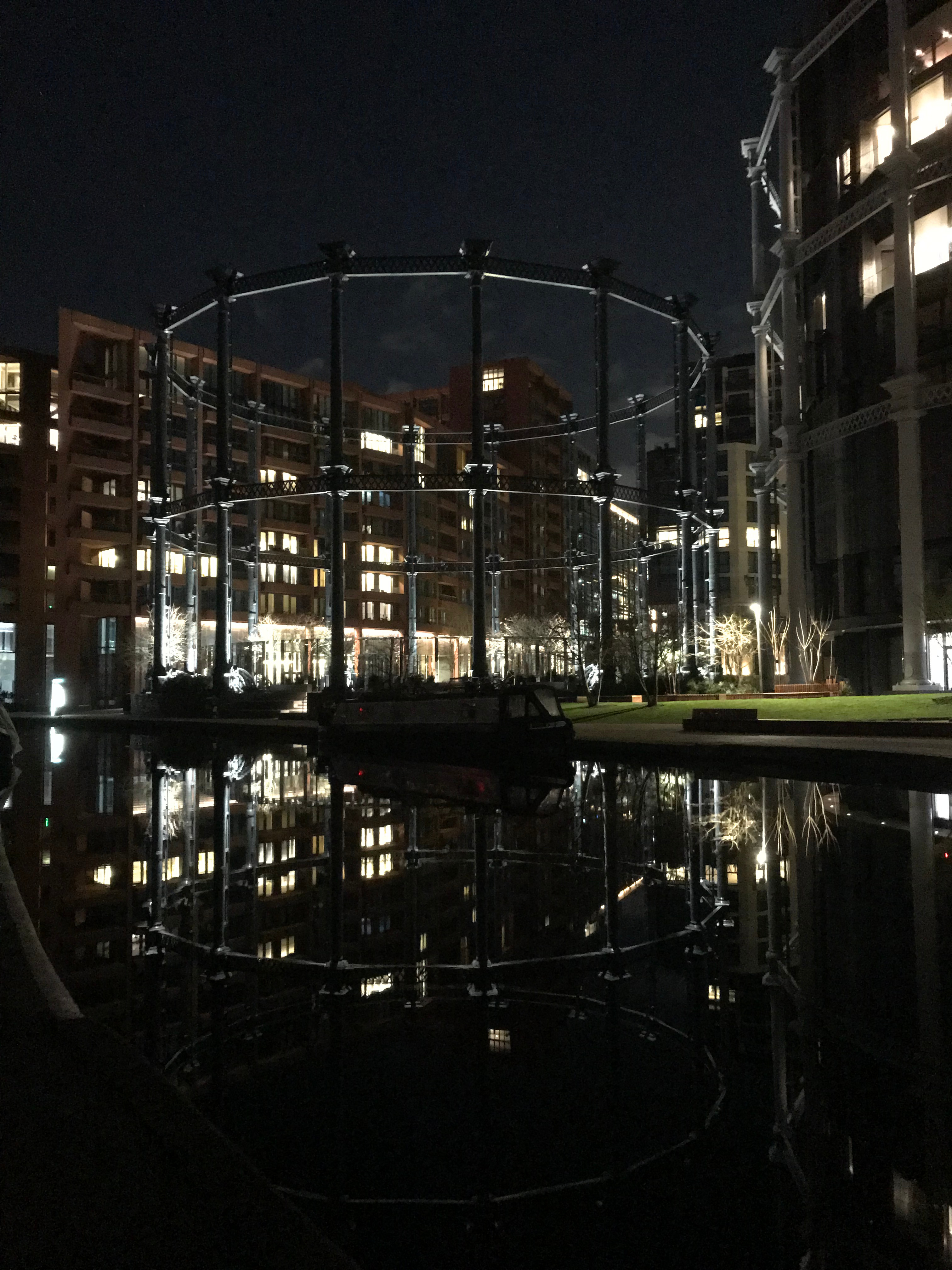
rnrn
Photo 39: Egyptian Geese perched on Gasholder Park opposite SPCC
rnrn
rnrn
Photo 40: Junior Family Member helping at Camden Locks
rnrn
rnrn
Photo 41: Hatton Locks and St Mary’s Warwick in distance
rnrn
rnrn
Photo 42: A green entry to Birmingham
rnrn
rnrn
Photo 43: Dawn exit from Sharpness Docks
rnrn
rnrn
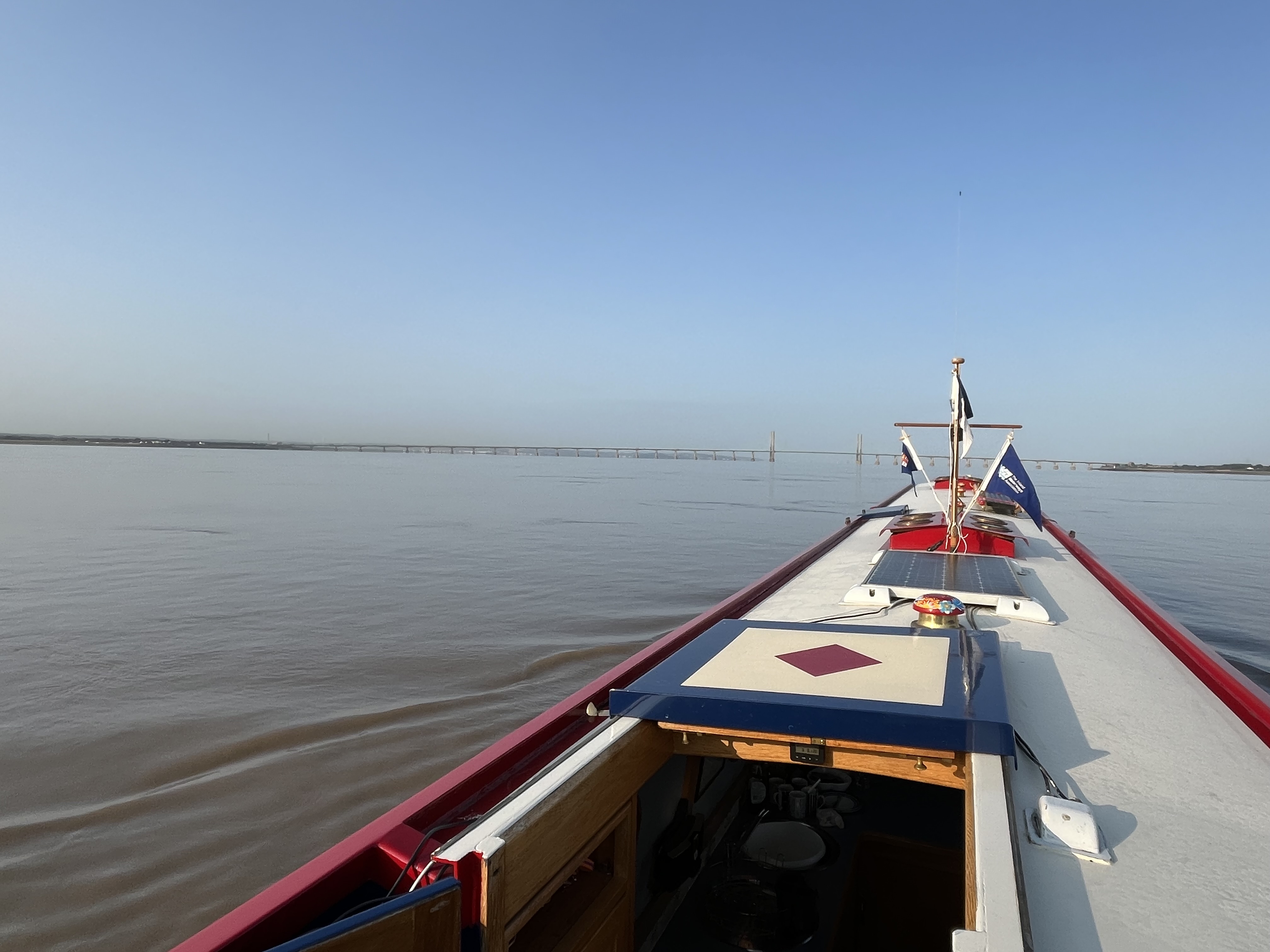
Photo 44: Calm waters in the Bristol Channel
rnrn
rnrn
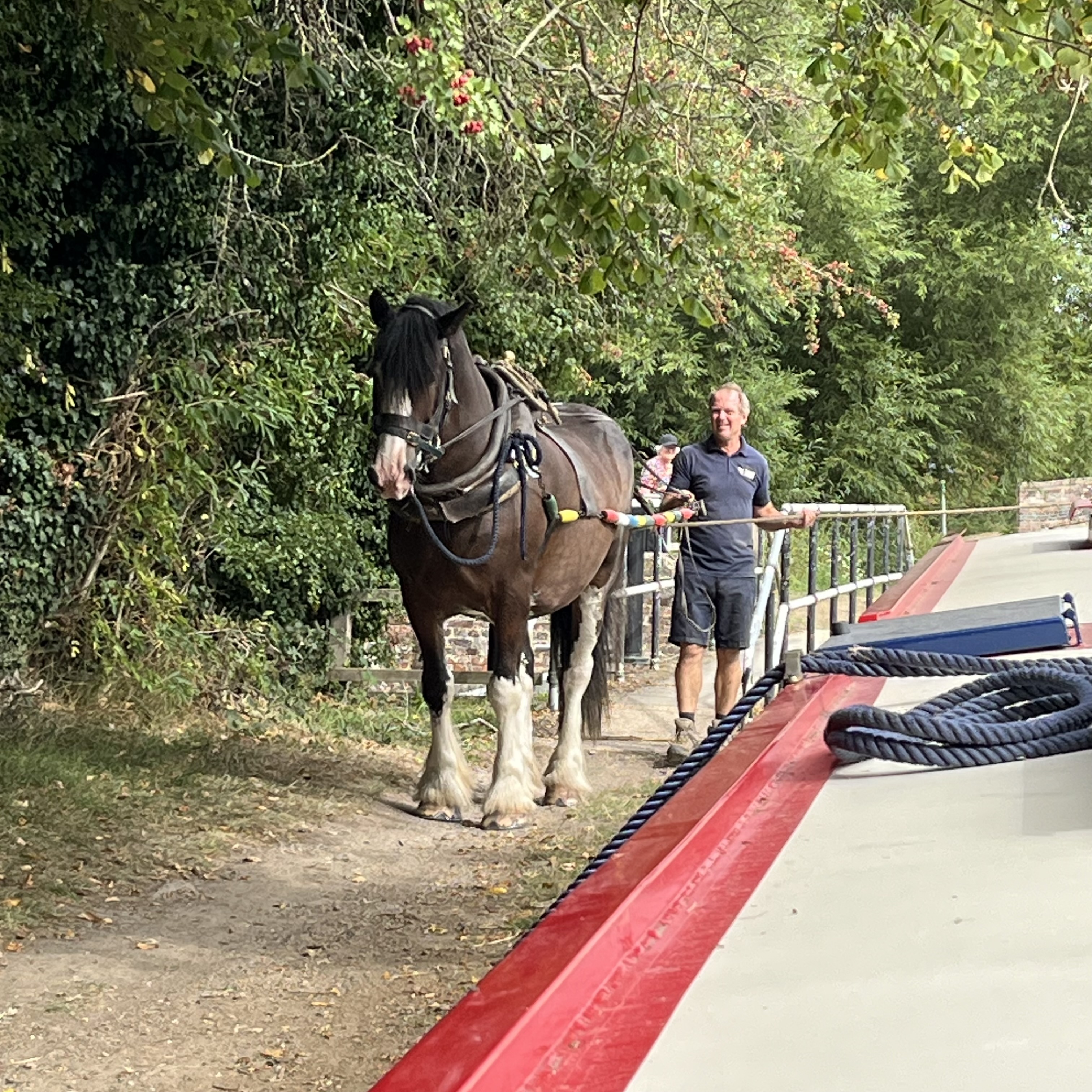
Photo 45: Horse boat passing at Kintbury on the Kennett & Avon
rnrn
rnrn
Photo 46: Do you think they heard us!
rnrn
rnrn
Photo 47: Heavy Traffic In Westminster
rnrn
rnrn
Photo 48: Lost In Stoke Bruerne!
rnrn
rnrn
Photo 49: The sune is over the yardarm someshere!
rnrn
rnrn
Photo 50: Which way up!
rnrn
rnrn
Photo 51: Don’t forget the handbrake
rnrn
rnrn
Photo 52: Foxton lock gates
rnrn
rnrn
rnrn
rnrn
rn
-
Collinson Competition 2024
To view an entry please click on the thumbnail, which will open the photograph in a new window.
rnAll photographs are the copyright of their respective owners. Please do not download or copy any photograph without the owner’s permission.rnrn
rnPhoto 01: Peace at Last by John Serocold
rnrn
rnrn
Photo 02: Thermopylae at Rest (for once!) by John Serocold
rnrn
rnrn
Photo 03: Chaos Organised by Mikki Rain
rnrn
rnrn
Photo 04: Lock Jam by Mikki Rain
rnrn
rnrn
Photo 05: Norton Junction by Mikki Rain
rnrn
rnrn
Photo 06: Paint Job by Mikki Rain
rnrn
rnrn
RUNNER UP – Photo 07: Sommerton by Mikki Rain
rnrn
rnrn
RUNNER UP – Photo 08: Midnight! And time for reflection! by Sallyann Ford
rnrn
rnrn
Photo 09: Brunel’s Railway Bridge (& Otis). Moulsford, June 2024 by Sally How
rnrn
rnrn
Photo 10: Moorings at Windsor Home Park, May 2024 by Sally How
rnrn
rnrn
Photo 11: Otis enjoying the view from Möbius. Taplow, June 2024 by Sally How
rnrn
rnrn
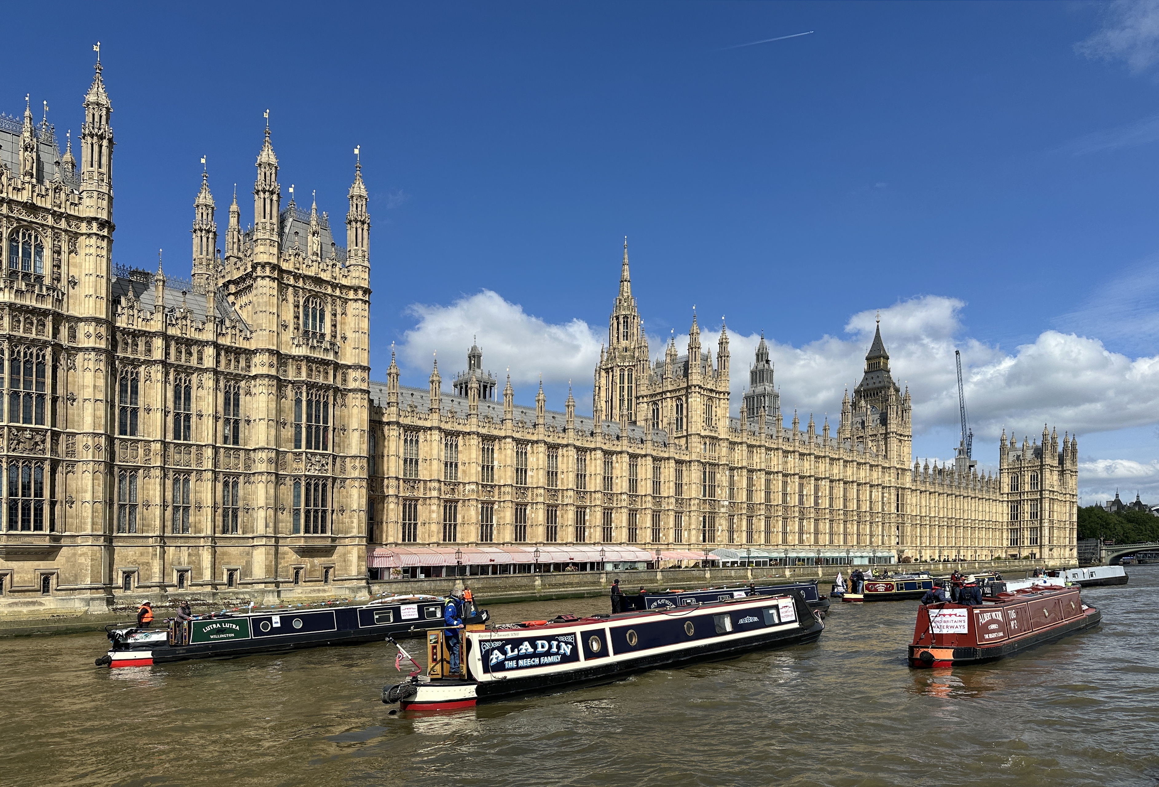
WINNER – Photo 12: Panacea and Little Layla cruising by the Palace of Westminster, Fund British Waterways 2024 by Sally How
rnrn
rnrn
Photo 13: Swift Ditch, June 2024 by Sally How
rnrn
rnrn
Photo 14: Regents Canal Islington Tunnel 20th June 2024 by Tim Lewis
rnrn
rnrn
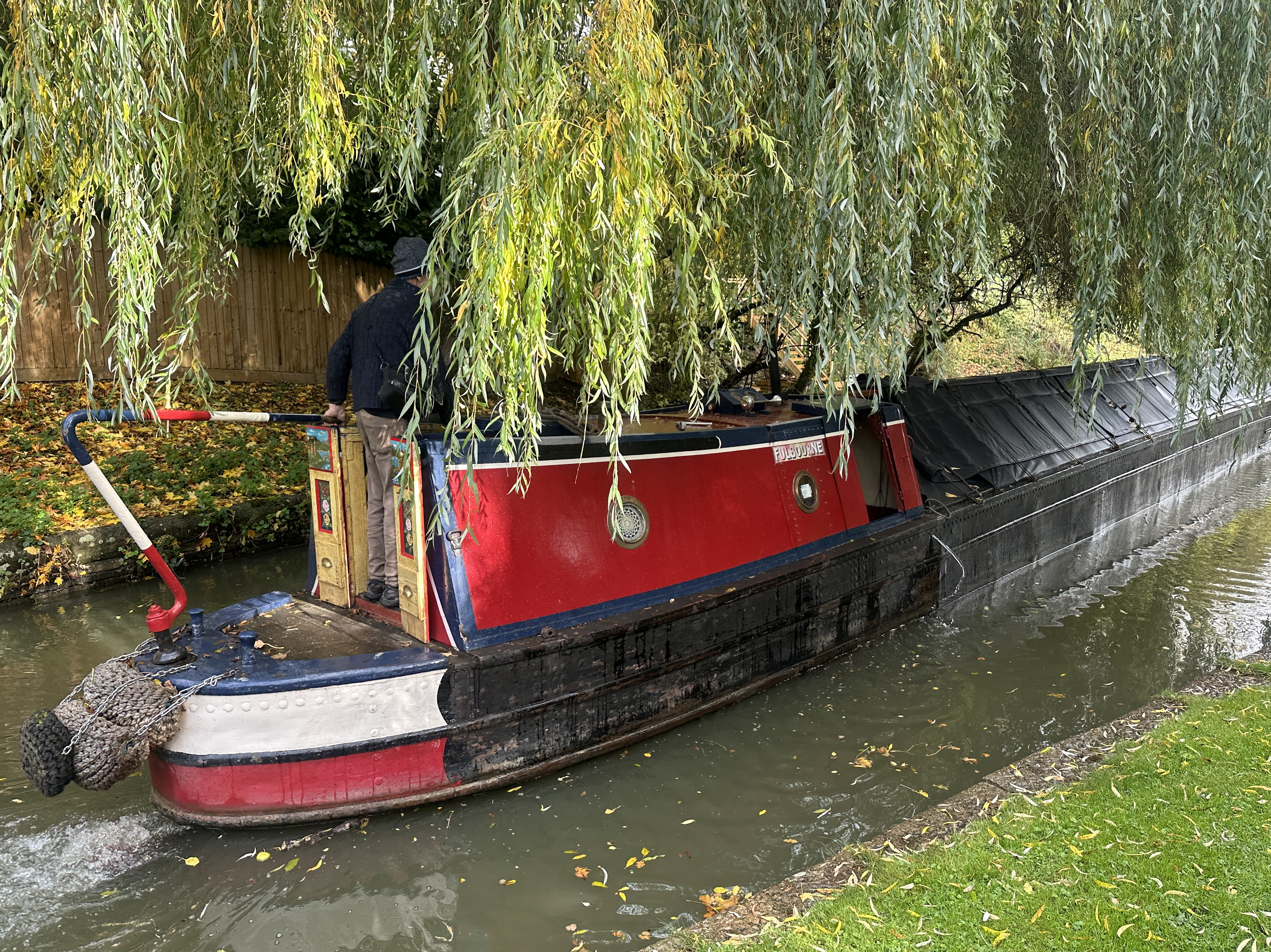
RUNNER UP – Photo 15: Fulbourne Boating FBW Campaign Cruise Limehouse To Margaretness then Brentford Via Westminster 8th May 2024 by Tim Lewis
rnrn
rnrn
RUNNER UP – Photo 16: Regents Canal Walk 18th May 2024 by Tim Lewis
rnrn
rnrn
Photo 17: Fulbourne Boating FBW Campaign Cruise Limehouse To Margaretness then Brentford Via Westminster 8th May 2024 by Tim Lewis
rnrn
rnrn
Photo 18: A wet days boating 3rd May 2024 by Tim Lewis
rnrn
rnrn
Photo 19: Sunset over Saint Pancras by Julie Clark
rnrn
rnrn
Photo 20: Sunshine between the clouds by Julie Clark
rnrn
rnrn
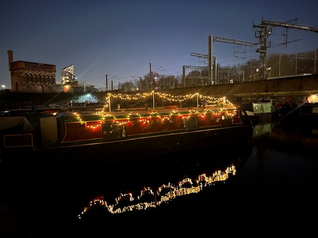
Photo 21: A bit of Christmas sparkle by Julie Clark
rnrn
rnrn
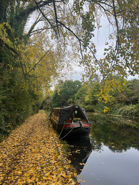
Photo 22: Calm autumn evening by Julie Clark
rnrn
rnrn
rn
-
HORN SIGNALS
SPCC NOTES ON VISITING THE RIVER THAMES
rnrn
HORN SIGNALS
rnrn
The term Short Blast means a blast of about 1 second duration The term Long Blast means a blast of about 4–5 seconds duration
rnrn
SIGNAL MEANING
rnrn
1 short blast I am altering my course to starboard (RIGHT)
rnrn
2 short blasts I am altering my course to port (LEFT)
rnrn
3 short blasts My engines are going astern
rnrn
5 or more short blasts You are not taking sufficient action to avoid me; or I do not understand your intentions or actions
rnrn
4 short blasts followed by 1 short blast I am turning round with my head (BOW) swinging to starboard (RIGHT)
rnrn
4 short blasts followed by 2 short blasts I am turning round with my head (BOW) swinging to port (LEFT)
rnrn
1 prolonged blast I am about to get underway, i.e. depart from moorings, jetty or dock entrance
rnrn
2 long blasts followed by 1 short blast I am about to overtake on your starboard (RIGHT) side
rnrn
The reply by the vessel being overtaken indicating readiness to be overtaken is 1 long blast, 1 short blast, 1 long blast and 1 short blast
rnrn
2 long blasts followed by 2 short blasts I am about to overtake on your port (LEFT) side
rnrn
The reply by the vessel being overtaken indicating readiness to be overtaken is 1 long blast, 1 short blast, 1 long blast and 1 short blast
rnrn
SAFETY
rnrn
Anyone navigating a vessel without due care and attention, or in such a manner as to cause damage to other vessels or property or cause injury to persons is guilty of an offence under the Port of London rules and conditions
rnrn
These signals are made by power driven vessels to indicate their own intended actions to other vessels. However with the ever increasing use of VHF R/T by all classes of vessels, especially by commercial craft, there is less likelihood of sound signals being used. The PLA does not encourage this practice. While small craft should therefore be extra careful and aware of this malpractice, it is strongly urged that smaller craft use sound signals.
rn
-
THE TRANSIT TO THE MEDWAY
SPCC NOTES ON VISITING THE RIVER MEDWAY
rnrn
THE TRANSIT TO THE MEDWAY
rnrn
THIS IS A CRUISE THAT REQUIRES PRE-PLANNING AND IS NOT FOR THE FAINT HEARTED
rnrn
Once you leave BOW LOCKS there are few places to land, and only barge buoys on which you can lay over. The last of these barge buoys are in the GRAVESEND REACH. Once you clear Lower Hope Reach you are very much ‘on your own’ until you are back in the Medway Channel. Good weather forecasts are essential for this section. If weather conditions change, there is a transit mooring pontoon at Gravesend, installed by the local Council in 2012. It will hold 12 narrowboats and can be booked via Chris Bentley at Gravesend Embankment Marina <chris@theembankmentmarina.net> Tel: 01474 535700.
rnrn
Navigation skills become critical when you reach the start of the THAMES buoyed channel at LOWER HOPE buoy, opposite MUCKING No.3 buoy. From here aim for the red WEST BLYTH buoy, which you can pass inside; that gets you around the end of Blyth Sands. From here look due East and steer for MID BLYTH, Yellow with Black Cap, North Cardinal buoy which is opposite Hole Haven Creek on the north bank. Take this buoy again on the inside, i.e. just outside of the main shipping channel. From here the next buoy lies ahead some three miles, east south east, and guards the edge of Yantlet Flats, (Binoculars are a must). Pass on the outside of this buoy and look ahead for the red can buoy of WEST NORE SAND which follows. Pass on the north side.
rnrn
Your route on the next section is quite critical as you need to avoid Nore Sand and follow the inner Swatchway channel past the length of Nore Sand. Thus, when leaving WEST NORE SAND buoy, identify and head for the green conical MID SWATCH buoy and pass to the south of it. This buoy is on the southern edge of Nore Sand. Look ahead and to the south east to identify the red can buoy of NORE SWATCH. Head for it and pass round to the north of this buoy and then, in a sweep, alter course to the south to pass over the Sheerness Middle Sand, which marks the end of Grain Spit, to head for MEDWAY BUOY No.11. Just before you reach it turn south south west, to pass between it and GRAIN EDGE buoy, which you will pass on the outside. From here head west south west to GRAIN HARD buoy; this is opposite Garrison Point. From here turn south south west to head for NORTH KENT buoy in Sheerness Harbour.
rnrn
You are now in the River Medway Channel. This tends to be busy with craft, but you will be passing through at low water when there is usually less big shipping on the move. Proceed parallel to the southern shore of the Isle of Grain. Turn at STOKE BUOY No.13 down Keyhole Reach past Bee Ness Jetty and Oakham Ness Jetty to BUOY No.15. Here head for BUOY No.17 and then turn due west, along Long Reach, turning south south west again at BUOY No.23, opposite Folly Point with its Napoleonic Fort, to proceed down Pinup reach to BUOY No.25 and thence to BUOY No.27 in GILLINGHAM REACH.
rnrn
For Skippers who need a break, the floating jetty of GILLINGHAM MARINA is over on the south side of the river. A call on VHF Channel 80 will reach Marina staff – Phone: 01634 280022.
rnrn
From here the trip up the Medway to the tide lock at Allington is quite straight forward. Remember that quite large craft use the river up to Rochester Bridge and that the final section of this reach before Strood Pier and the bridge, has two blind bends.
rnrn
From Rochester Bridge the river becomes more rural apart from the M2 bridge. Also remember that there are no more stopping places between here and ALLINGTON LOCK. Take care under the low Aylesford Bridge and your transit to the non-tidal section of the Medway is nearly at its end. From Allington the nine locks and 19 miles of the non-tidal section of the Medway will make your epic voyage well worthwhile. You may, however, need a long swing Medway windlass to get some of the heavy lock gear to budge, but that is a minor point.
rnrn
For the return journey, it may be easier to overnight at Gillingham Marina, or better still, rafted to Queenborough Yacht Club’s lighter in the Swale. Both provide a shorter hop to Grain Edge.
rnrn
SAFETY NOTE: THAMES ESTUARY – WEATHER WARNING
rnrn
It is essential to verify that the WIND is not greater than Force 3, but preferably Force 1 or 2, before proceeding past SHORNMEAD LIGHT (TILBURY) on the way out, or past GRAIN HARD / GARRISON POINT on the return. You should turn back at these points if increases in WIND are forecast, as the journey through the ESTUARY takes 3 hours in an unprotected area with no shelter easily accessible
rnrn
rnrn
TRANSIT TO THE MEDWAY
rnrn
This trip can only be undertaken when the weather forecast is Fine with Good Visibility and maximum Wind Force 3 in the Estuary. Transit starts from BOW LOCKS which need to be booked 24 hours in advance. (Phone 020 7517 5570) Avoid strong SPRING tides. The best CHART for the transit around GRAIN SPIT and the tidal Medway is Stanfords Chart No.8 The NORTH KENT COAST. Chart, compass and binoculars are essential for the lead boat. The remainder of the Thames route is on Imray Yachting Chart C2 River Thames (Teddington to Southend).
rnrn
BEFORE YOU LEAVE
rnrn
Check Weather Forecast before departure with Met Off ice (Phone 0891 226 455) and Medway Radio at Sheerness, Channel 74 (Phone 01795 663025). Speak to Port Control London to check the condition of and traffic on the lower tideway, Channel 13 (Phone 01474 560311). If forecast is not good — DO NOT GO. (i.e. Wind in excess of Force 3).
rnrn
DEPARTURE ROUTINE
rnrn
Notify Thames Barrier/London VTS, Channel 14 (Phone 020 8855 0315) of your planned Barrier Transit when you clear Blackwall Point; and seek permission to transit when you have the barrier in sight
rnrn
TRANSIT MONITORING
rnrn
The timing of the transit is the key to success and you must keep a log of Way Points to verify your speed. In the Estuary and going up the Medway, mark off the buoys on your chart/checklist as you pass them. This way you will know exactly where you are. Remember to keep to the right hand third of the river and out of the Fairway channels used by larger craft.
rnrn
TRANSIT TIMINGS
rnrn
Timings of the transit are as follows:
rnrn
Leave BOW LOCKS HW LB –1 hour
rnrn
THAMES BARRIER AT HW LB
rnrn
FORD MOTOR WORKS DAGENHAM HW LB +1 hour
rnrn
BROADNESS POINT/GRAYS HW LB +2 hours
rnrn
MUCKING No.3 BUOY/LOWER HOPE HW LB +3 hours to +3.25 hours
rnrn
EAST BLYTH BUOY HW LB +4 hours to +4.25 hours
rnrn
NORE SWATCH BUOY HW LB +4.75 hours to +5.5 hours
rnrn
GRAIN EDGE BUOY or Medway Channel No.11 HW LB +5 hours to +5.75 hours
rnrn
MED WAY TRANSIT
rnrn
Follow buoyed channel up Medway, keeping to RIGHT of Channel.
rnrn
GRAIN EDGE BUOY to ROCHESTER 12 miles or approx. 2 hours
rnrn
ROCHESTER to ALLINGTON TIDE LOCK 13 miles or approx. 2.25 hours
rnrn
(Allington Lock High Water is Sheerness +50 minutes)
rnrn
POINTS TO REMEMBER
rnrn
Timings of the Tideway can vary depending on tide flows. It is essential to be within the above Way Point timings for a safe passage. Non-tidal section of Medway—At ALLINGTON LOCK, which is open from THREE HOURS before to TWO HOURS after high water, buy your MEDWAY LICENCE for the non-tidal River. Chart The Upper Reaches of the River Medway. (Imray, Laurie Norie and Wilson). ALWAYS ENSURE THAT YOU GIVE LOCK KEEPERS ADVANCE WARNING OF YOUR E.T.A.
rnrn
MED WAY TIMINGS
rnrn
ALLINGTON to MAIDSTONE 0.5 hours
rnrn
MAIDSTONE to YALDING (8 miles 3 locks) 2.5 hours
rnrn
YALDING to TONBRIDGE (8 miles 6 locks) 3.75 hours
rnrn
Craft with air draught of less than 5.5 feet can proceed for about half a mile, turning just beyond the Tonbridge to London Railway Bridge where the river widens to return to the moorings at Tonbridge Town Wharf just below the main town road bridge.
rnrn
FOR THE RETURN JOURNEY USE THE SAME TIDEWAY TIMINGS IN REVERSE ORDER.
rnrn
Boats can break their Medway transit at Gillingham Marina, VHF 37/80 (Phone: 01634 280022). Allow 11/4 hours to Grain Edge or overnight rafted to the Queenborough Harbour Lighter. Contact Queenborough Yacht Club, 7 High Street, Queenborough, Sheppey, Kent ME11 5AA. Email secretary@queenboroughyc.co.uk for details. Allow 1/2 hour to Grain Edge.
rnrn
ALL BOATERS AND SKIPPERS ARE REMINDED THAT THEY UNDERTAKE THE CRUISES COMPLETELY AT THEIR OWN RISK. THE ST. PANCRAS CRUISING CLUB AND ITS OFFICERS CANNOT ACCEPT ANY LIABILITY FOR THE SAFETY OF CRAFT ON RIVERS, CANALS OR THE TIDAL THAMES
rn
-
DARTFORD AND CRAYFORD NAVIGATIONS
SPCC NOTES ON VISITING THAMES CREEKS
rnrn
DARTFORD AND CRAYFORD NAVIGATIONS
rnrn
The key to a successful visit to the Dartford and Crayford Navigations is the use of the tide. The Creek experiences high and low water approximately 45 minutes before London Bridge. (The Thames Barrier tide is 20 minutes prior to London Bridge). For simplicity this summary works on tide times at London Bridge. However, please remember the further downstream you are, the earlier the tide changes. One must always remember that progress against the tide run takes TWICE as long as passage with the tide. Also allow extra time for a boat with an engine under 35hp or with a less than smooth hull line. Because of this, the timings given in this sheet can only be a guide.
rnrn
The Dartford and Crayford Navigations effectively dry out at low tide. The Lock Gates at Dartford have been removed. The lock is now the head of navigation on that Arm It is still possible to visit, and turn in, the Terminus Basin on the Cray Arm, which lies just beyond the railway arch. This basin offers the only safe off-river mooring, if you miss the tide window or need to stay overnight, as it has a flat gravel bed.
rnrn
Dartford Creek Mouth lies 13 miles downstream of Limehouse Lock. With the out flowing ebb tide the journey takes around 2.5 hours, but even longer once the tide turns. The aim is to arrive at the Creek Mouth so that one can enter it 2 hours 15 minutes after low water London Bridge. It is only after this time, on the inflowing tide, that there is sufficient depth of water to make an easy entrance to the Creek mouth. This has to be entered from downstream because of a substantial silt bar that projects from the upstream end of the creek entrance.
rnrn
The safest way to visit the Navigations from the canal system is via Limehouse Lock and then to make full use of the ebb and flood tides. Boats should aim to exit Limehouse Lock 2 hours 15 minutes before Low Water London Bridge. This allows a passage downstream using the tail end of the ebb tide. Keep to the right hand third of the main river. To avoid a long wait for sufficient water in the Creek Mouth it is possible to continue downstream pushing against the tide to reach the Queen Elizabeth II Bridge. But remember you need to allow 20 minutes for the return to the Creek from the Bridge on the flood to arrive at the optimum entry time.
rnrn
If you decide to forgo the visit to the bridge, either turn downstream of the mouth and ‘bottom’ your craft on the mud in the entrance to the Creek; or better still, hold off against the barge buoys that are sited just downstream of the Creek Mouth at the south side of the main channel and wait for the flood to run in to provide sufficient water for entry into the Creek.
rnrn
By Low Water London Bridge plus 2 hours 15 minutes the water levels should be just sufficient to proceed slowly into the Creek and on through the Flood Barrage. Proceed slowly up the centre of the channel, monitoring water depth as you go. The Creek’s main arm is 2.25 miles in length, and this journey will take around 45 minutes. Turn in the wider area just below the lock, where an outlet on the west quayside scours out the mud. You can reverse from here into the lock chamber and take your photos—but do not wait too long. Allow 15 minutes to get back to the junction and a further half hour to explore the Crayford Arm. To do so, continue along the right hand arm and under the railway bridge, through to the Terminal Basin which is still navigable. By then the water depth will be good and should allow a speedy return to the Creek Mouth. High Water at Creek Mouth comes 45 minutes before HW London Bridge. Your aim must be to reach the main river well before that time so as to use the flow of the incoming tide to push you upstream. The round trip up the Creeks and back usually takes approximately 1 hour 35 minutes. You should aim to leave Creek Mouth for the return journey upstream by about High Water London Bridge minus 2 hours. This will provide you with a run on the incoming tide almost to the Thames Barrier.
rnrn
Be ready to step up your revs when the tide turns for the final leg to Limehouse Lock. As a rough guide you need to double your downstream times for that part of your return route after the tide has turned. You ETA should be around HW LB plus two hours, provided you have reached the Thames Barrier when the tide turns. This arrival is likely to be outside of Core Hours, thus the Limehouse Return Lockage will need to be pre-booked, at least two days in advance via the Canal & River Trust Web site at Locks to the River Thames | Boating in London. Lockmaster on VHF Channel 80.
rnrn
All transits through the Thames Barrier also need to be confirmed on the day of transit with London VTS (VHF Marine channel 14) or by phone – 020 8855 0315. The first reporting call should be made when you are at Blackwall Point on the outward journey and again before the Woolwich Ferry on your return leg.
rnrn
All boats making the trip should ensure they have enough fuel. A full tank is preferable since sedimenting of filters caused by wave movement is then less likely to occur. Pushing against the tide doubles fuel consumption. Oil and water levels also should be topped up before you leave Limehouse. Your anchor must also be at the ready with 50 metres of line and at least 2 metres of chain at the anchor end.
rnrn
If the weather is forecast on the day is for winds above Force 3, or for poor visibility, you should postpone the trip to the next day. The timings then will be around one hour later. It is also wise to verify, in advance, with the Environment Agency that no Dartford Barrier test closure are planned to coincide with you intended date of transit.
rnrn
For ease of reference an indicative timetable would be:
rnrn
rn rn
rn rn Low Water LB 11.15
rn
rn
rn HW LB 17.03
rn
rn
rn
rn rn Out Limehouse Lock
rn
rn
rn 09.00
rn
rn
rn
rn rn Thames Barrier
rn
rn
rn 10.05
rn
rn
rn
rn rn Barking Creek
rn
rn
rn 10.30
rn
rn
rn
rn rn Crossness
rn
rn
rn 10.50
rn
rn
rn
rn rn Crayfordness
rn
rn
rn 12.00
rn
rn
rn
rn
rnrn
Moor or QEII Bridge and return
rnrn
rn rn
rn rn Enter Creek
rn
rn
rn 13.30
rn
rn
rn
rn rn Dartford Lock (Turn)
rn
rn
rn 14.15
rn
rn
rn
rn rn Cray Junction
rn
rn
rn 14.25
rn
rn
rn
rn rn Crayford Basin (Turn)
rn
rn
rn 14.40
rn
rn
rn
rn rn Cray Junction
rn
rn
rn 14.55
rn
rn
rn
rn rn Out Creek Mouth
rn
rn
rn 15.10
rn
rn
rn
rn rn Barking Barrier
rn
rn
rn 16.30
rn
rn
rn
rn rn Thames Barrier
rn
rn
rn 17.10
rn
rn
rn
rn rn Limehouse Lock
rn
rn
rn 19.10
rn
rn
rn
rn
rnrn
rnrn
ALL BOATERS AND SKIPPERS ARE REMINDED THAT THEY UNDERTAKE THE CRUISES COMPLETELY AT THEIR OWN RISK. THE ST. PANCRAS CRUISING CLUB AND ITS OFFICERS CANNOT ACCEPT ANY LIABILITY FOR THE SAFETY OF CRAFT ON RIVERS, CANALS OR THE TIDAL THAMES
rn
-
An exploration of BARKING CREEK
rnSPCC NOTES ON VISITING THAMES CREEKS
rnrn
An exploration of BARKING CREEK
rnrn
Barking Creek is still an active commercial navigation with small coasters trading from the wharfs in the lower reaches. Sadly traffic no longer uses the formerly navigable River Roding Navigation to Ilford Bridge, but with the advent of the new Barking Barrage it is again accessible by smaller craft and canoes. Headroom restrictions at the bridges stop its access by higher air draft craft. Prior booking of BOW LOCKS and BARKING BARRIER is essential.
rnrn
THE TIME TABLING OF THE TRIP IS CRITICAL. THE KEY ELEMENTS ARE SET OUT BELOW
rn
rnrn
Exit Bow Locks HW, – 3.5 hours Bow Creek Mouth HW, – 3 hours
rnrn
rnLeave Barking Creek Mouth HW(LB), – 0.8 hours Arrive Bow Creek Mouth HW, + 0.5 hours
rn
rnrn
Barking Creek Mouth HW(LB), – 1.75 hours (NB: If you arrive later than + HW(LB), + 0.75 divert to Limehouse)rnrn
Tour of Creek 0.9 hours maximum Arrive Bow Locks HW, + 1 hour (A diversion to Limehouse takes +2hrs)
rnrn
THE CRUISE DETAILS
rnrn
The trip involves pushing against the tide for much of the outward journey and some of the return trip. The timings depend on the engine size and the hull profile. The following times relate to a reasonable hull shape powered by a 1500cc engine.
rnrn
Two factors control the trip; the TIDES and WEATHER. A tide at the neap end is preferable to a Spring. The trip must be made in daylight with good visibility and a wind no greater than FORCE 3, preferably less.
rnrn
The cruise starts at Bow Locks which must be pre-booked. Although the locks nominally open 4 hours before high water, experience suggests there is not usually enough water for a safe exit until around 3.5 hours before High Water. The lock keeper will tell us when the levels are right. Leave Bow as soon as the lock keeper allows and follow the centre line of the creek to the mouth. This will take about 30 minutes. Check for other craft on the Thames, then give a long blast on your horn and cross the fairway to follow the southern shore downstream. Call Woolwich Barrier Control (VHF 14) to gain clearance for transit. Pass between the green arrows at the Thames Barrier Spans. Check your passage past the Woolwich Ferry as they move very quickly from shore to shore. Continue downstream to the Barking Creek Mouth. Do not cross the fairway too soon as the tide run is on the Northern side here and it will push you upstream; i.e. turn below the Creek Mouth. Keep inside the Yellow Barrel Buoy which marks the end of a shoal and pass under the Flood Barrier at the Creek Mouth.
rnrn
The journey time from Bow Creek Mouth to Barking Creek Mouth is approximately 1 hour 20 minutes. Aim to arrive at the Creek Mouth around 1.75 hours before High Tide at Bow, but this is only 1.25 hours before High Water at Barking.
rnrn
Take extra care as you pass through the Barking Flood Barrier and proceed up the Creek following a centre line. Take extra care at the new Tidal Barrage site adjacent to Regent Oil Co. Wharf. Check that the lights are showing green which indicates the Barrage is open and proceed up to the Mill Pool where you turn. Watch out in the Creek for floating ropes, etc. The journey up the Creek to the barrage takes 20 minutes. The Mill Pool takes another 5 minutes.
rnrn
Take your photos but do not dawdle. Aim to spend 50 minutes maximum within Barking Creek before heading back upstream. The aim is to pass between the Green Arrows of the Thames Barrier before the tide turns. Here again clearance must be obtained for transit. (Call VHF 14).
rnrn
The aim is to reach Bow Creek Mouth by High Water Bow plus 20 minutes to ensure a safe transit back to Bow Locks which close 2 hours after High Water. You need to remember that by one hour after high water the tide run down the Creek gets much faster, and your progress against it much slower. In consequence if you enter Bow Creek Mouth later than one hour after high water you will have difficulty in reaching the locks before they close through lack of draught. In this situation it is better to continue up the Thames to Limehouse where the lock remains operational for 3.5 hours after HWLB. That journey, pushing against an out flowing tide will take at least 2 hours
rnrn
On arrival at the Locks at Bow the keeper should be waiting. You will then have completed your transit to Barking Creek. If you divert to Limehouse, please remember to phone Bow Locks to cancel your return booking. By prior arrangement, it is possible to stay over in Barking Creek above the barrier. In such circumstances the return trip can normally be made on the following day’s tide. It is best to leave as soon as the incoming tide makes a level and the barrier gates can open.
rnrn
USEFUL CONTACTS:
rnrn
Bow Locks Locks to the River Thames | Boating in London
rnrn
Barking Tidal Barrier 01474 562250,
rnrn
Weather Forecast 0891 226 456
rnrn
Woolwich Barrier Control 020 8855 0315,
rnrn
Barking Barrier Bookings 020 8227 3202,
rnrn
Barking Wharf Moorings 020 8591 7324
rnrn
ALL BOATERS AND SKIPPERS ARE REMINDED THAT THEY UNDERTAKE THE CRUISES COMPLETELY AT THEIR OWN RISK. THE ST. PANCRAS CRUISING CLUB AND ITS OFFICERS CANNOT ACCEPT ANY LIABILITY FOR THE SAFETY OF CRAFT ON RIVERS, CANALS OR THE TIDAL THAMES
rn
-
BOW CREEK and DEPTFORD CREEK
NOTES ON VISITING THE THAMES CREEKS
rnrn
BOW CREEK and DEPTFORD CREEK
rnrn
BOW CREEK — A trip down Bow Creek to the Lighthouse at Creek Mouth provides a unique excursion and with the right timing is perfectly safe for narrowboats. It is essential to book Bow Locks 24 hours in advance as normally the locks are unmanned. (Telephone: 020 7517 5570). Aim to leave Bow Locks 11/2 hours before High Water London Bridge (HWLB). Keep to the centre of the channel and take great care on the various blind bends. There was a waste transfer site just downstream of Bow Locks. Watch out for tugs moving lighters or for transfer taking place. Turn inside the Creek Mouth by the lighthouse. The outward trip against the tide takes 35 minutes and 25 minutes for the return trip on the tide. Bow Locks should be open on your return which will be just before high water. However, it is essential to ensure you have pre-booked the lock keeper for the return journey.
rnrn
DEPTFORD CREEK — A visit to Deptford Creek is best organised from Bow. Leave 21/2 hours before HWLB. Take care to keep to the centre of Bow Creek. The tidal river journey from Bow Locks via Bow Creek, the Thames and Deptford Creek will take up to 13/4 hours, plus an extra 40 minutes for the Deptford Creek. Whilst cruising down Bow Creek and into the Thames boats will have to PUNCH THE TIDE. On turning upstream boats on the cruise will gain the benefit of the 4 knot incoming tide. At normal main line canal cruising revs with the tide run most boats will move at a speed of 6 mph. Deptford Creek entrance is sometimes difficult to see, so check your map. Proceed up the CENTRE OF THE CREEK and TURN WHERE MARKED ON THE MAP. Retrace your route to return to the Creek Mouth and then continue upstream. Boats should reach Limehouse Lock before the Top of the Tide. Call on VHF 80 just before you arrive at the lock so that the keeper can get it ready. Skippers should be ready to follow the Lockmaster’s directions at Limehouse. Be ready to stand off and await locking through. Please have a note of your BW Licence Number handy as all craft licences may be checked at this point. The number is the one at the bottom of your licence disc.
rnrn
DURING YOUR TRIP ON THE TIDAL THAMES PLEASE TAKE EXTRA CARE
rnrn
Remember:
rnrn
- rn
- KEEP TO THE RIGHT; DO NOT STRAY OUT TO THE CENTRE OF RIVER. FOLLOW THE NORTHERN BANK AND PASS INSIDE BARGE MOORINGS.
- BEWARE OF DRIFT WOOD AND COMMERCIAL TRAFFIC IN BOW CREEK AND ON THE THAMES.
- DO NOT SAIL TOO CLOSE TO THE THAMES BUOYS AND PIERS AS THE TIDE RUN WILL CATCH YOU and distort your course. Take care before turning across the tide-way to the mouth of Bow Creek. WATCH OUT FOR CRAFT COMING FAST UPSTREAM ON THE TIDE. GIVE ONE LONG BLAST ON YOUR HORN ON EXIT.
- WATCH OUT FOR THE WASH of trips boats and commercial craft, especially between Greenwich and Limehouse Lock. Turn your bow into the waves and then return to your normal course after you have ridden the waves.
- WATCH OUT FOR THE BARGE TOWS. All being well they should have gone up river before we leave Bow Creek.
- ROWERS are sometimes in evidence around Greenwich. HOOT WITH ONE BLAST if you are in doubt that they have not realised you are there.
- CHECK BOTH UP AND DOWNSTREAM FOR OTHER TRAFFIC BEFORE TURNING TO CROSS THE FAIRWAY TO DEPTFORD CREEK ENTRANCE. Do not turn too early; in that way you avoid the large buoys downstream of the Creek Mouth.
- Keep to the centre of the channel up Deptford Creek. Take the centre lifting span of the lattice girder lifting railway bridge. Turn at the entrance end of the Upper Basin as the far end tends to collect rubbish and shopping trolleys underwater. 70ft boats may find it easier to turn in the mouth of the short arm just before the Creek Head.
- Headroom at NARROW STREET BRIDGE IS RESTRICTED. Check your height before trying to pass under it. If in doubt wait on the outer pontoon (East Side) until the tide ebbs or the bridge swings.
- EMERGENCY moorings are marked on the map supplied. Those at Greenland Pier are available ONLY if craft are in difficulty. Otherwise tie alongside moored barges if you cannot proceed and signal for assistance.
rn
rn
rn
rn
rn
rn
rn
rn
rn
rn
rnrn
REMINDERS — Book the locks at Bow 24 hours in advance—Check for sufficient fuel—Check fan belt—Have lifebuoy handy with line attached—Install anchor—Children especially are advised to wear life jackets. Animals should be kept under control inside your craft. All boats over 45ft are required by the PLA regulations to carry a VHF Marine Radio.
rnrn
ALL BOATERS AND SKIPPERS ARE REMINDED THAT THEY UNDERTAKE THE CRUISES COMPLETELY AT THEIR OWN RISK. THE ST. PANCRAS CRUISING CLUB AND ITS OFFICERS CANNOT ACCEPT ANY LIABILITY FOR THE SAFETY OF CRAFT ON RIVERS, CANALS OR THE TIDAL THAMES
rn