Content to be added.
Tag: archived
-
Collinson Competition 2024
To view an entry please click on the thumbnail, which will open the photograph in a new window.
rnAll photographs are the copyright of their respective owners. Please do not download or copy any photograph without the owner’s permission.rnrn
rnPhoto 01: Peace at Last by John Serocold
rnrn
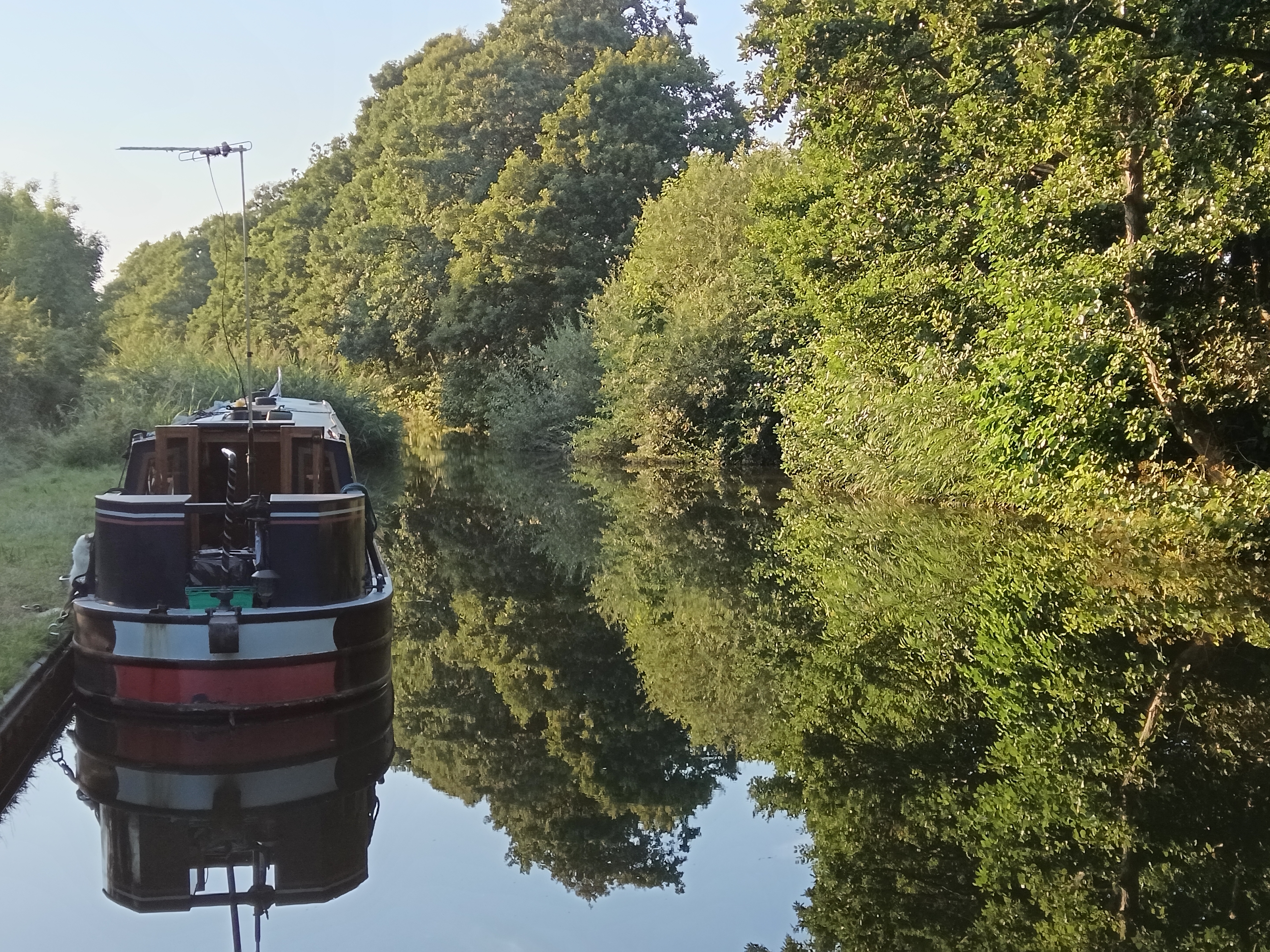
rnrn
Photo 02: Thermopylae at Rest (for once!) by John Serocold
rnrn
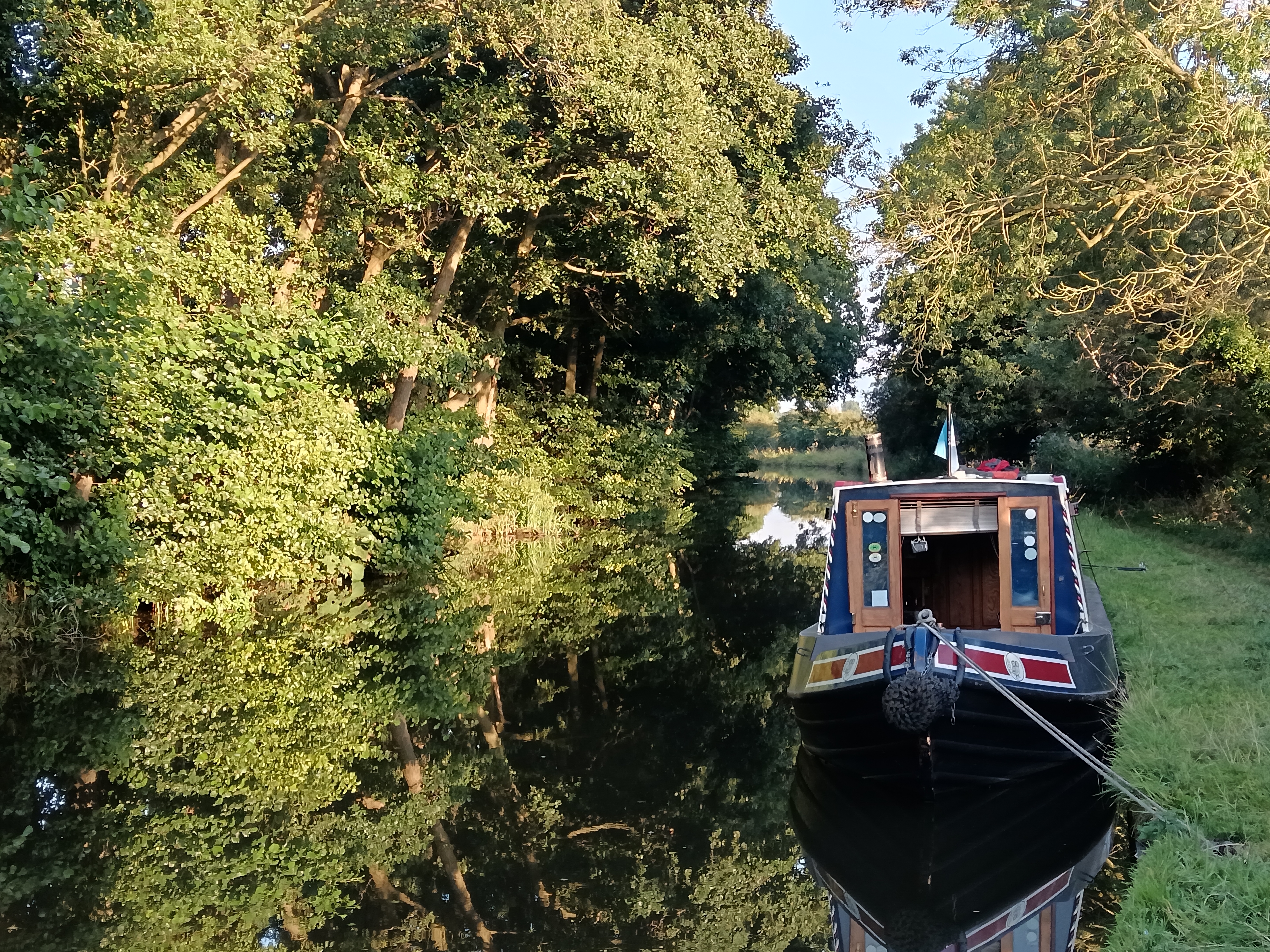
rnrn
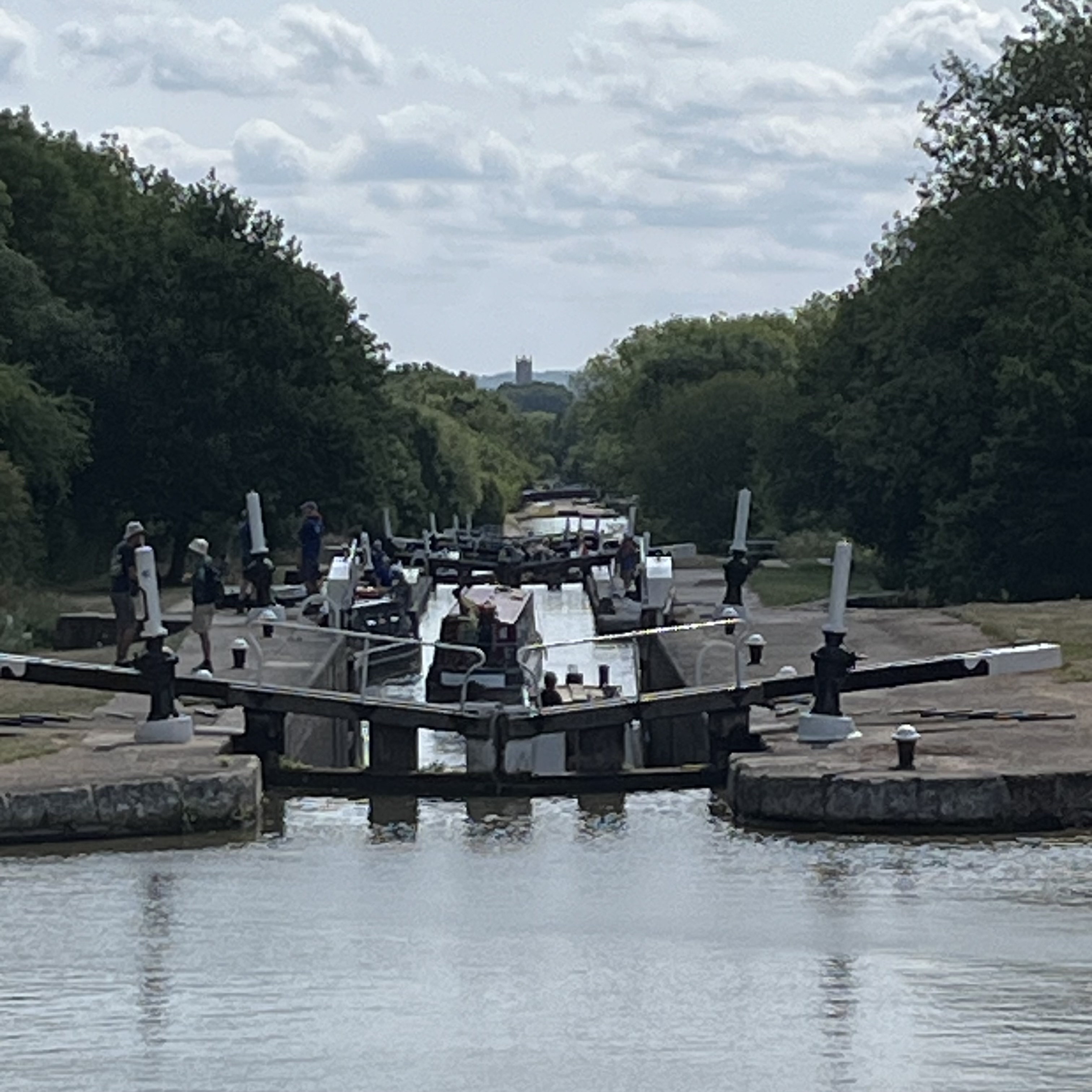
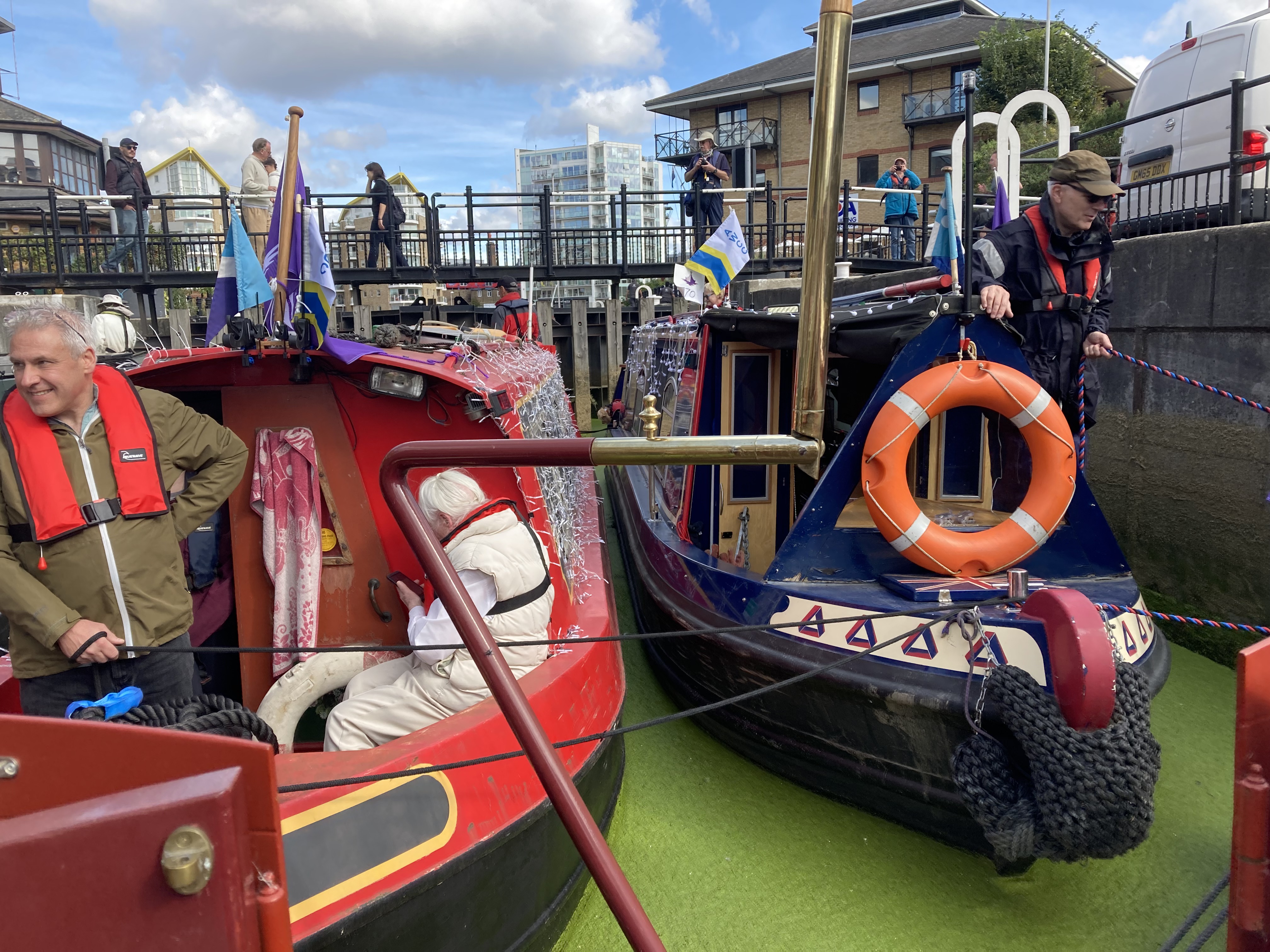
Photo 03: Chaos Organised by Mikki Rain
rnrn
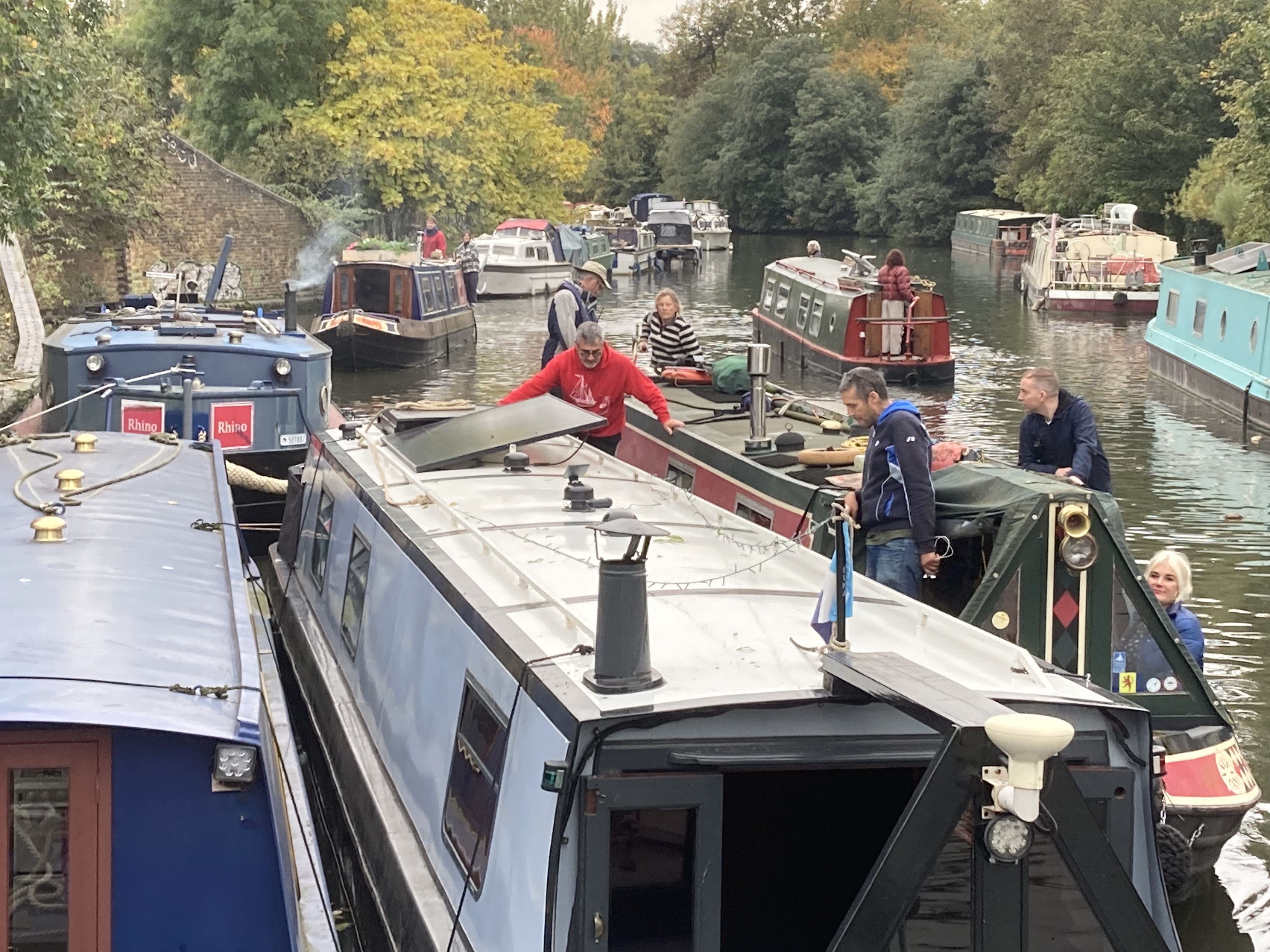
rnrn
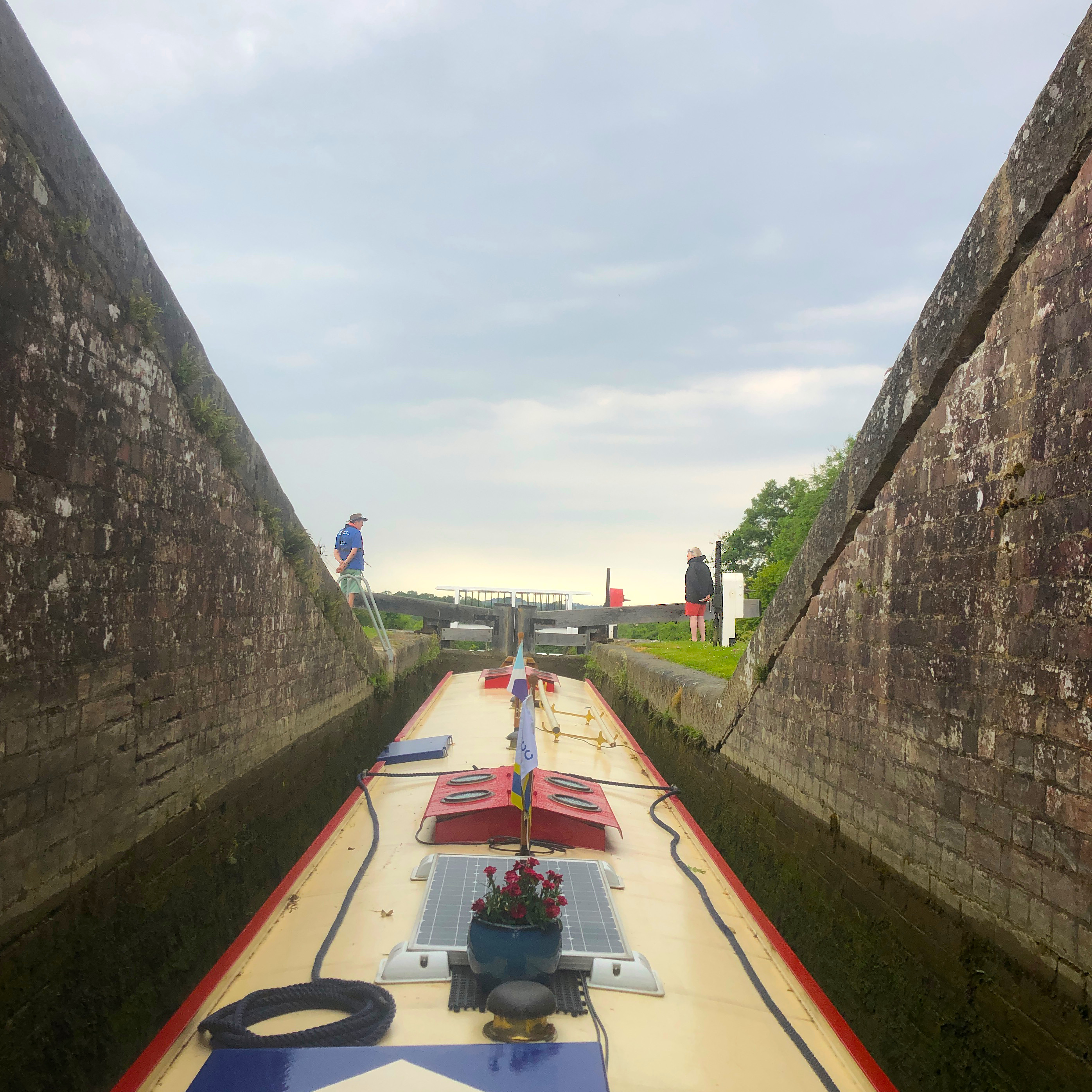
Photo 04: Lock Jam by Mikki Rain
rnrn
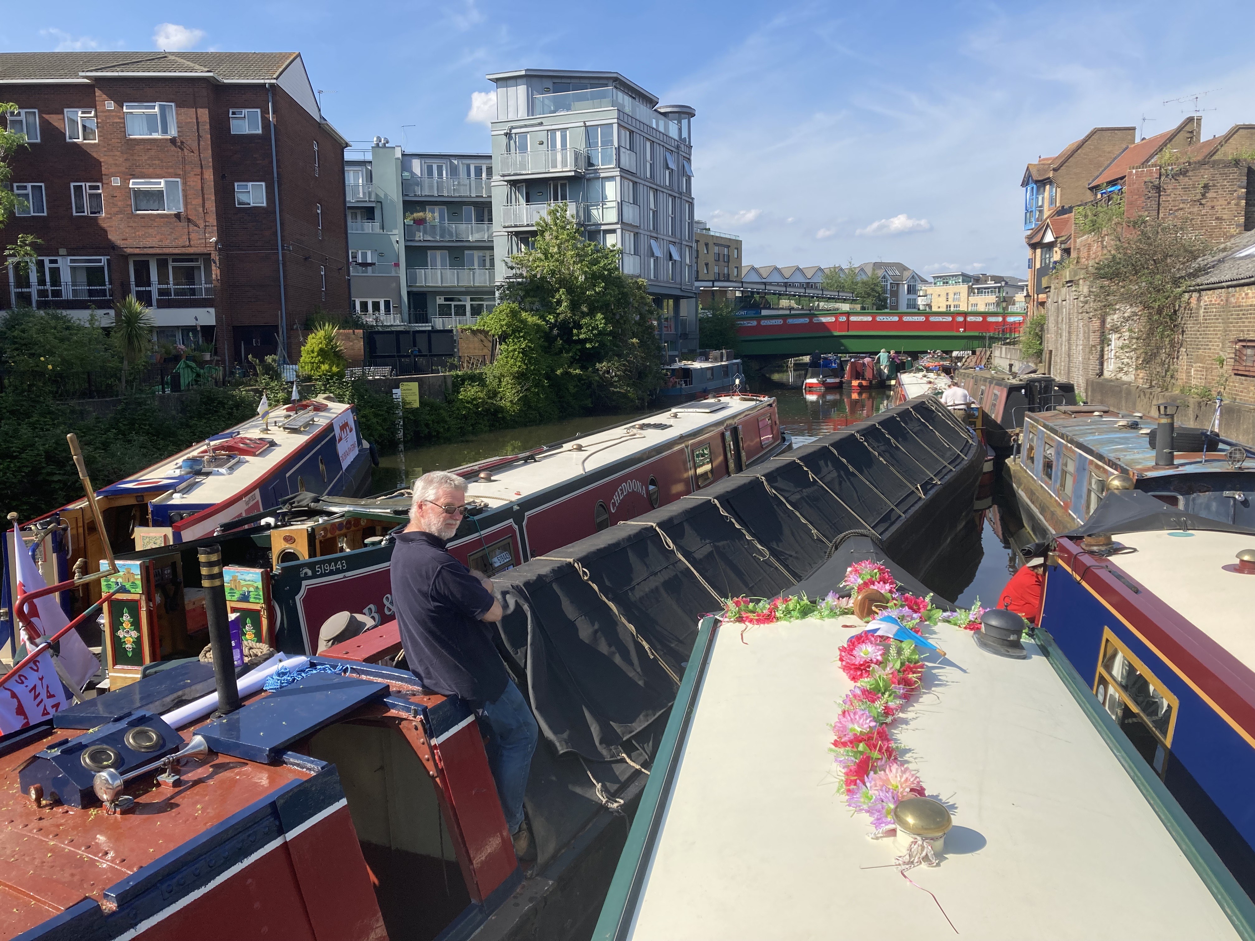
rnrn
Photo 05: Norton Junction by Mikki Rain
rnrn
rnrn
Photo 06: Paint Job by Mikki Rain
rnrn
rnrn
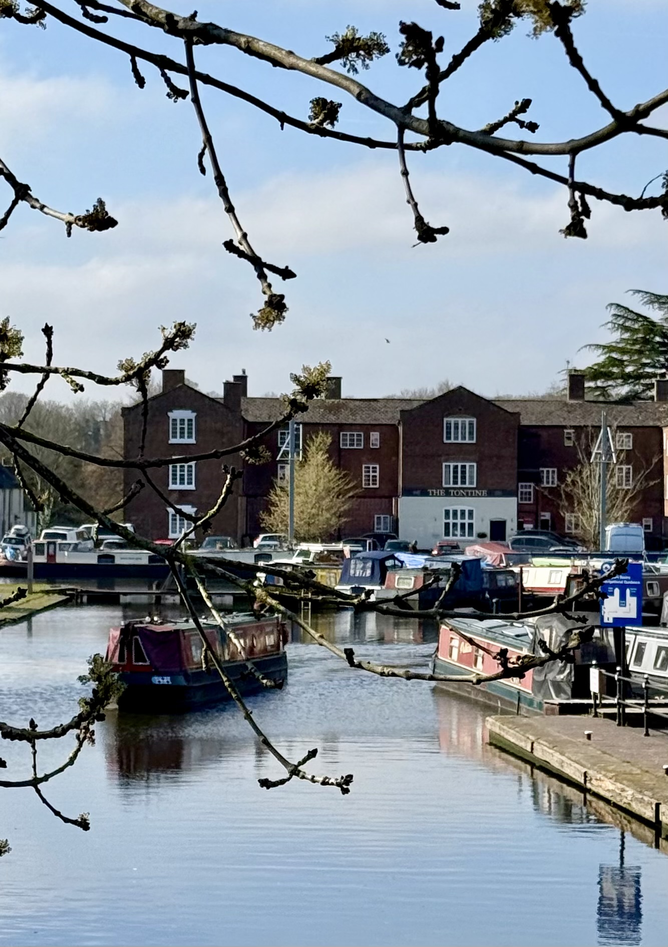
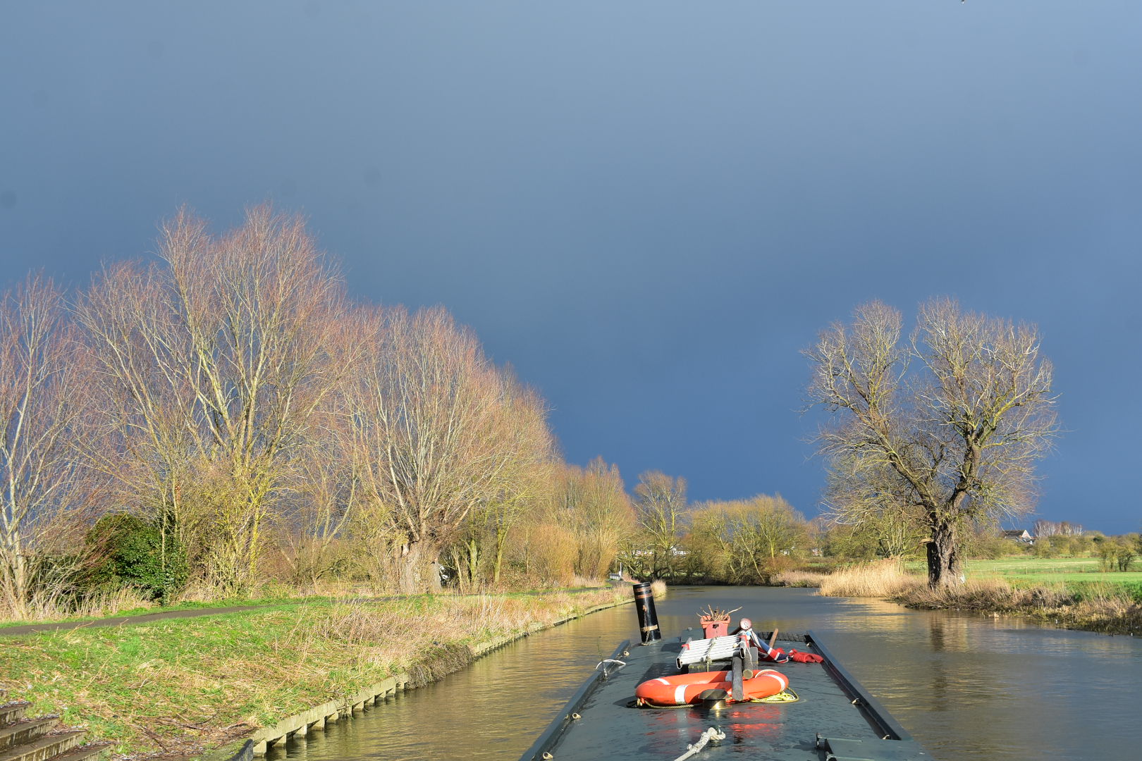
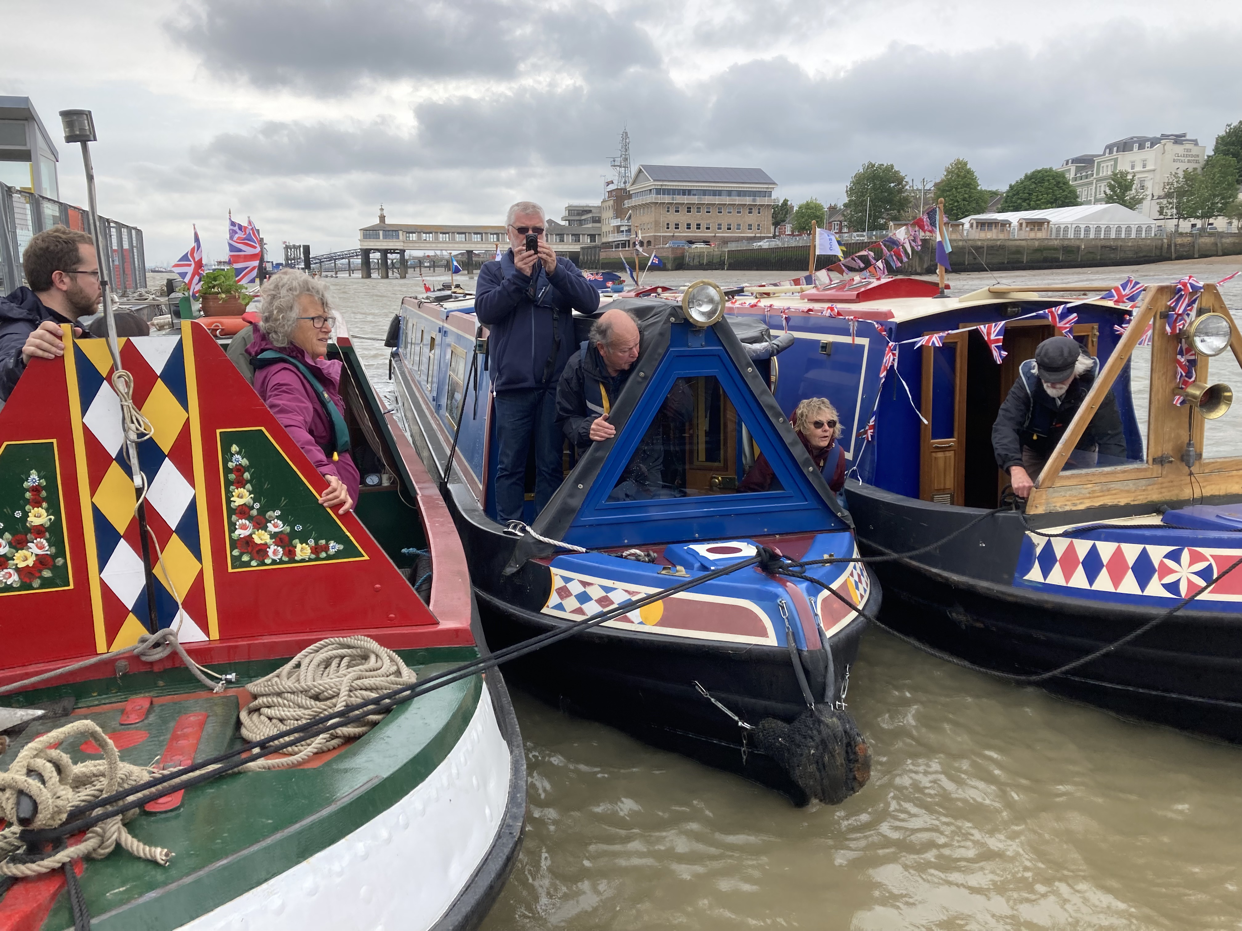
RUNNER UP – Photo 07: Sommerton by Mikki Rain
rnrn
rnrn
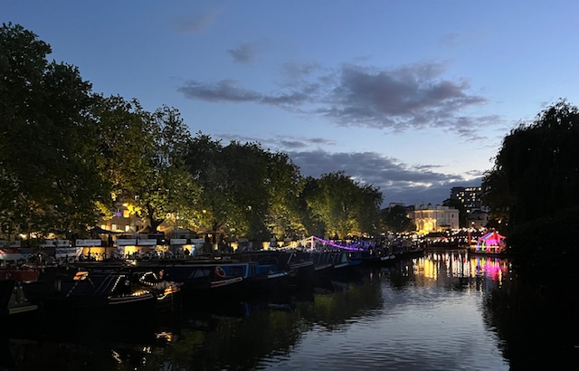
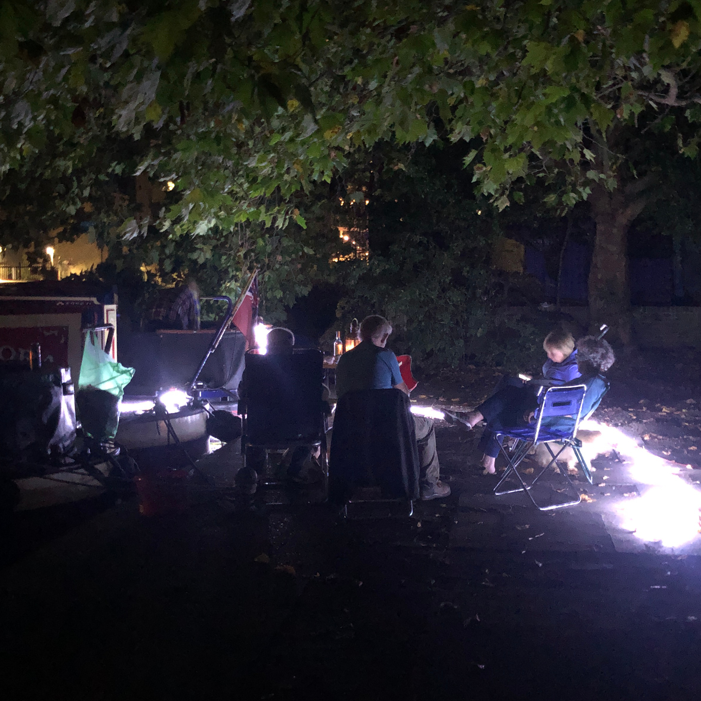
RUNNER UP – Photo 08: Midnight! And time for reflection! by Sallyann Ford
rnrn
rnrn
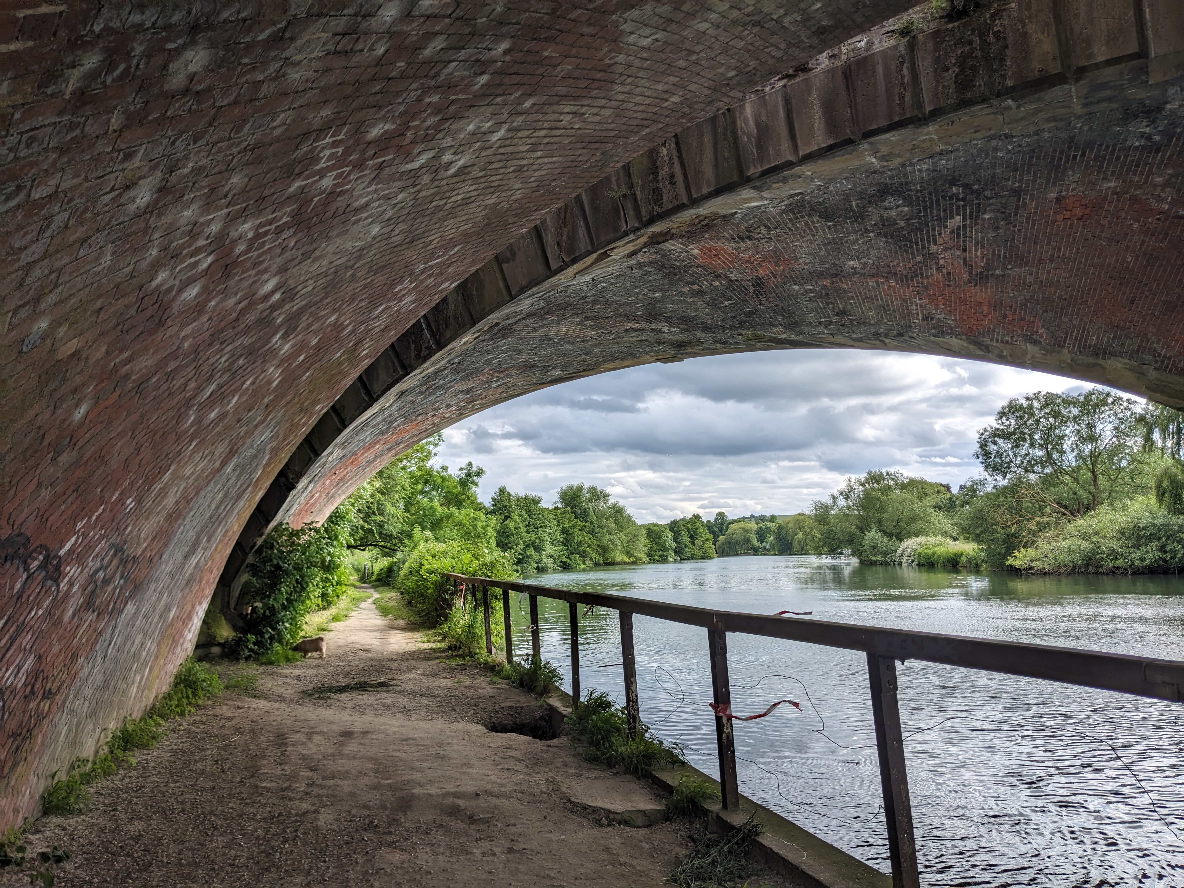
Photo 09: Brunel’s Railway Bridge (& Otis). Moulsford, June 2024 by Sally How
rnrn
rnrn
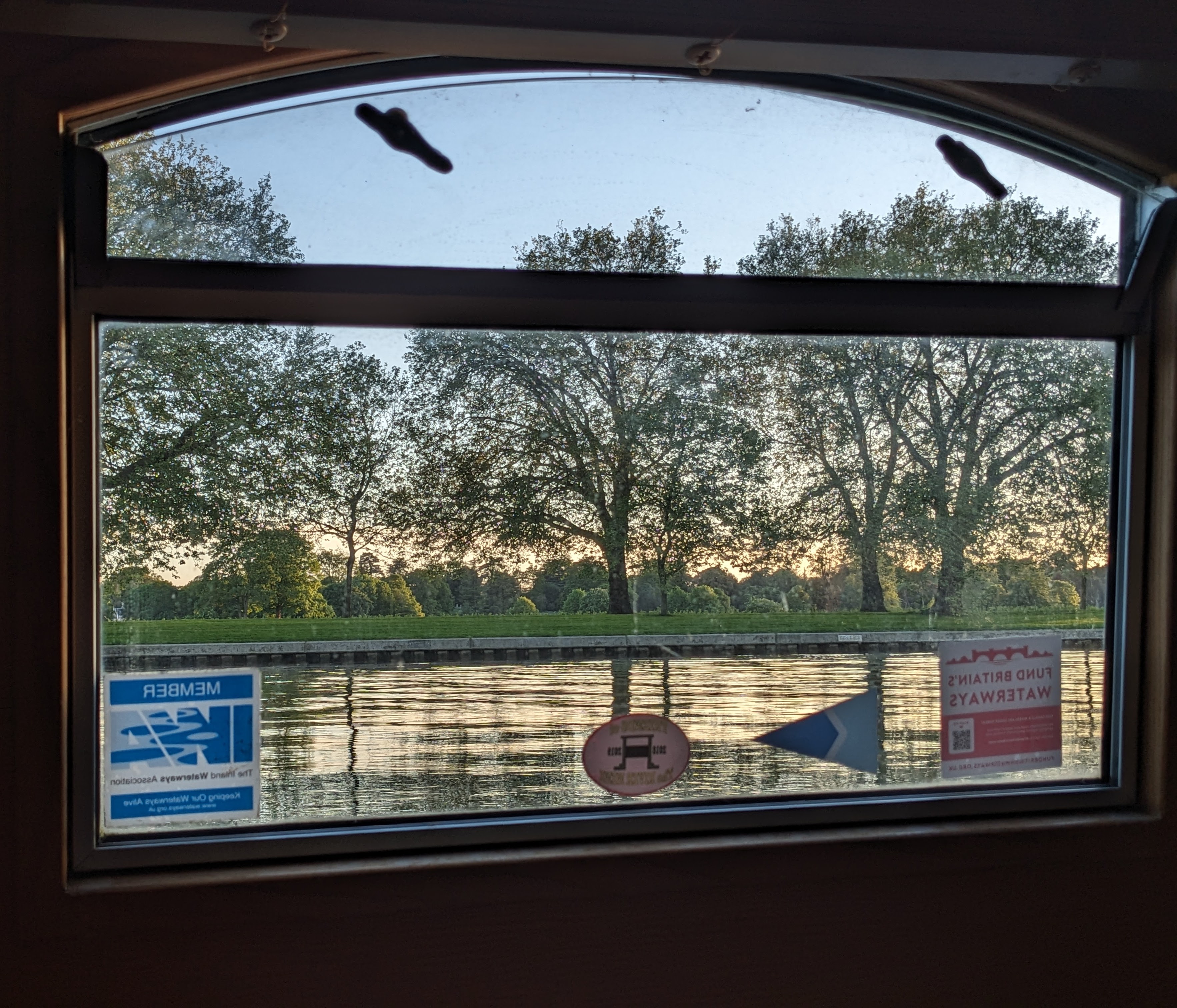
Photo 10: Moorings at Windsor Home Park, May 2024 by Sally How
rnrn
rnrn
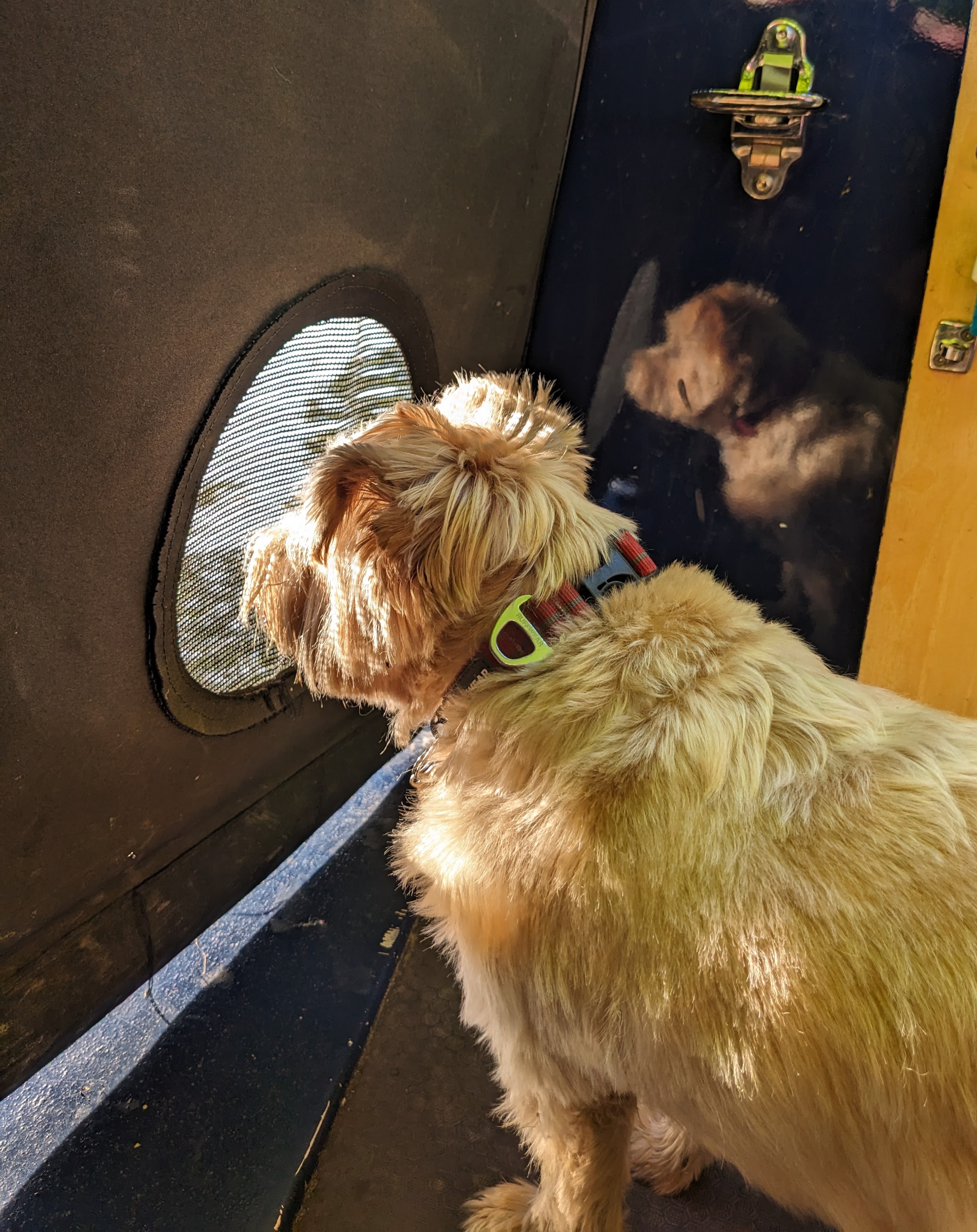
Photo 11: Otis enjoying the view from Möbius. Taplow, June 2024 by Sally How
rnrn
rnrn
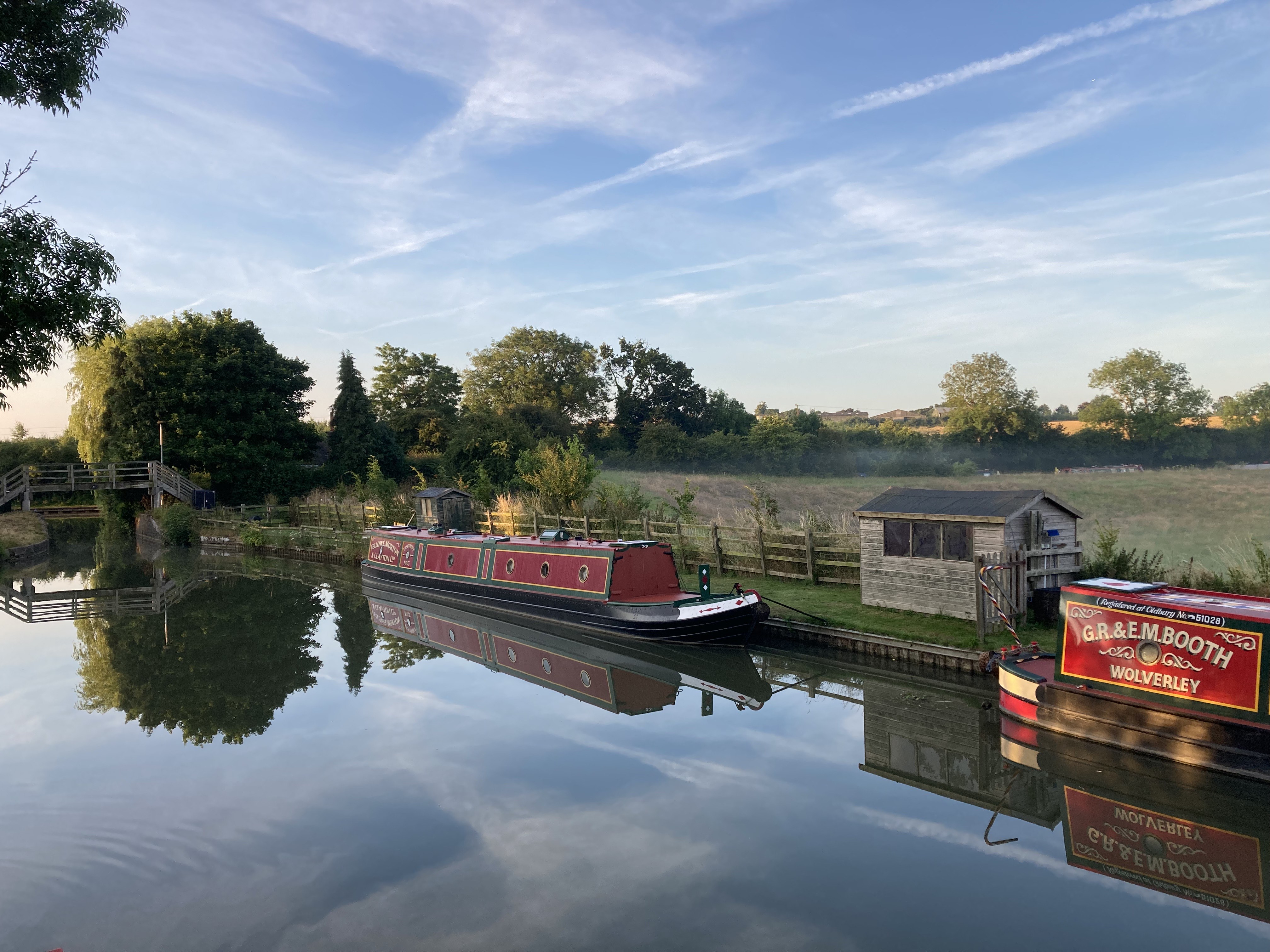
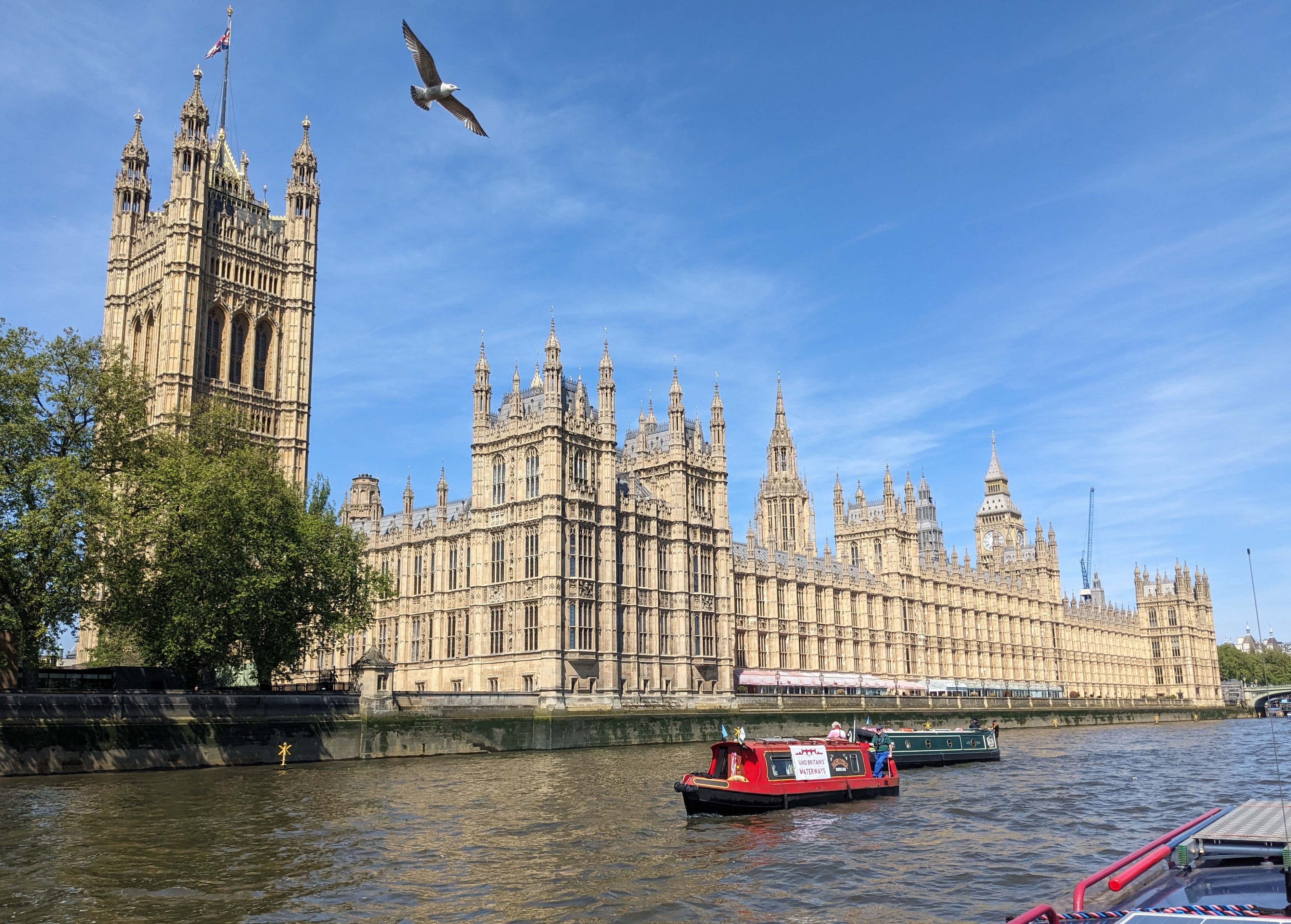
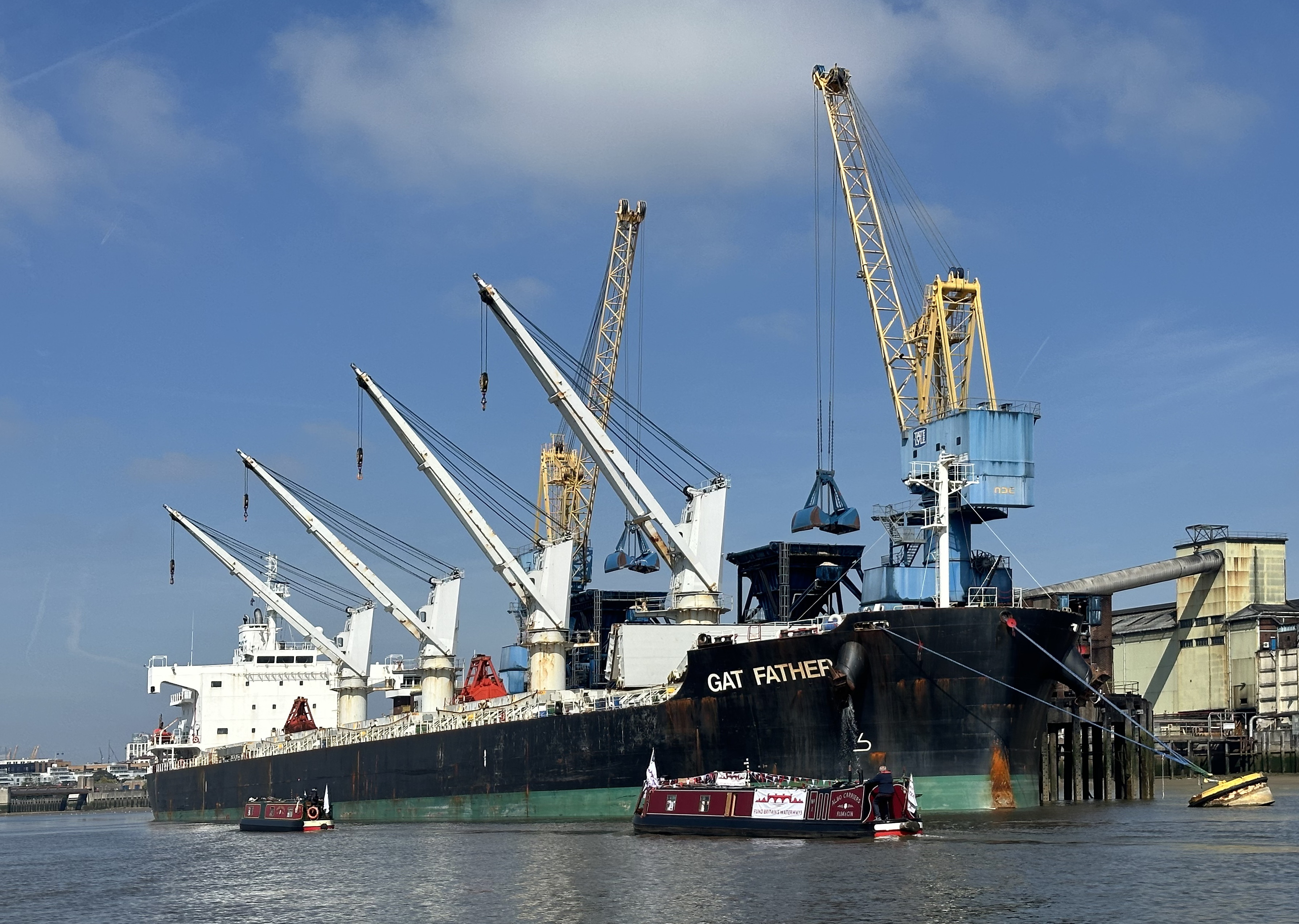
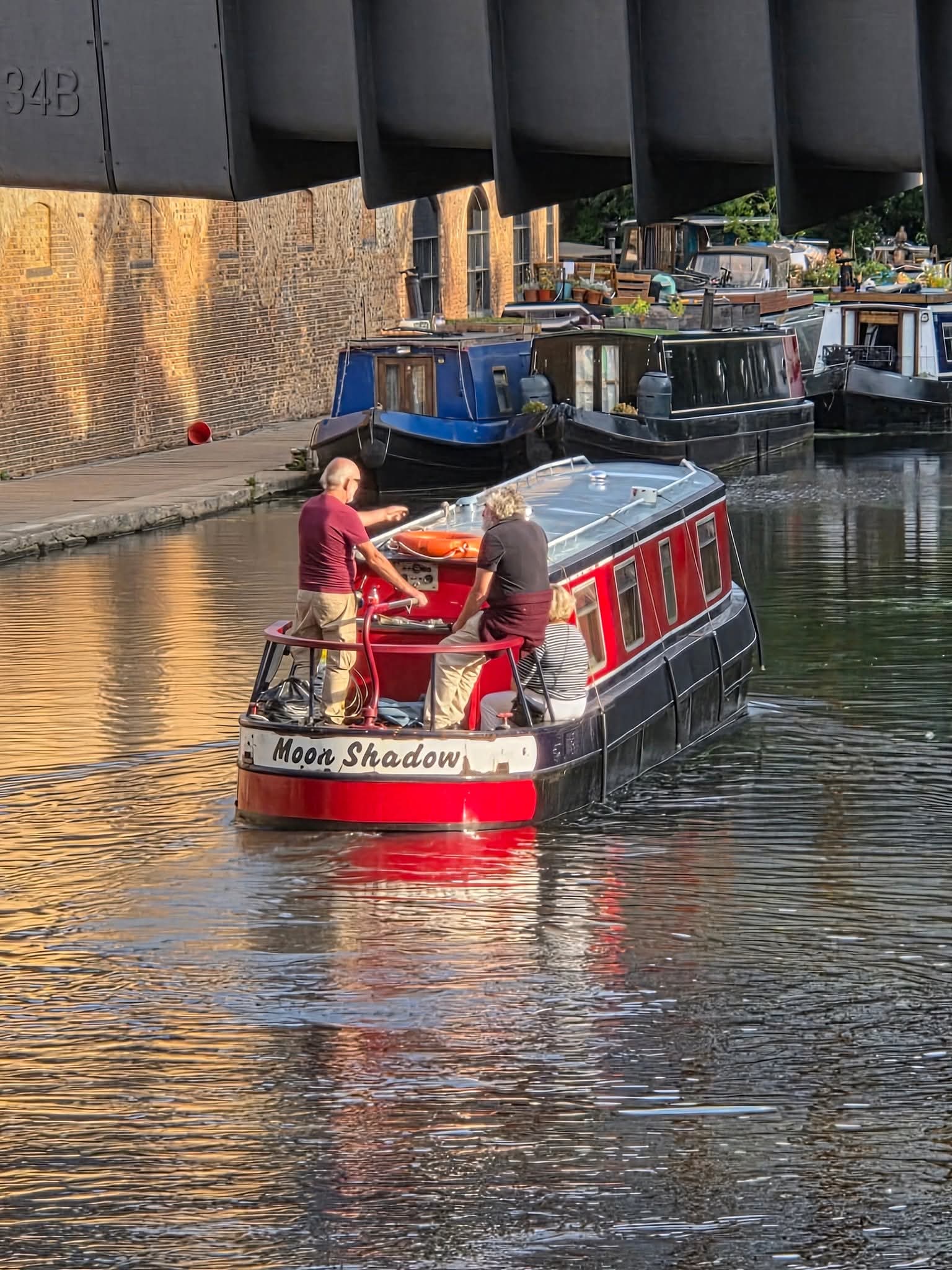
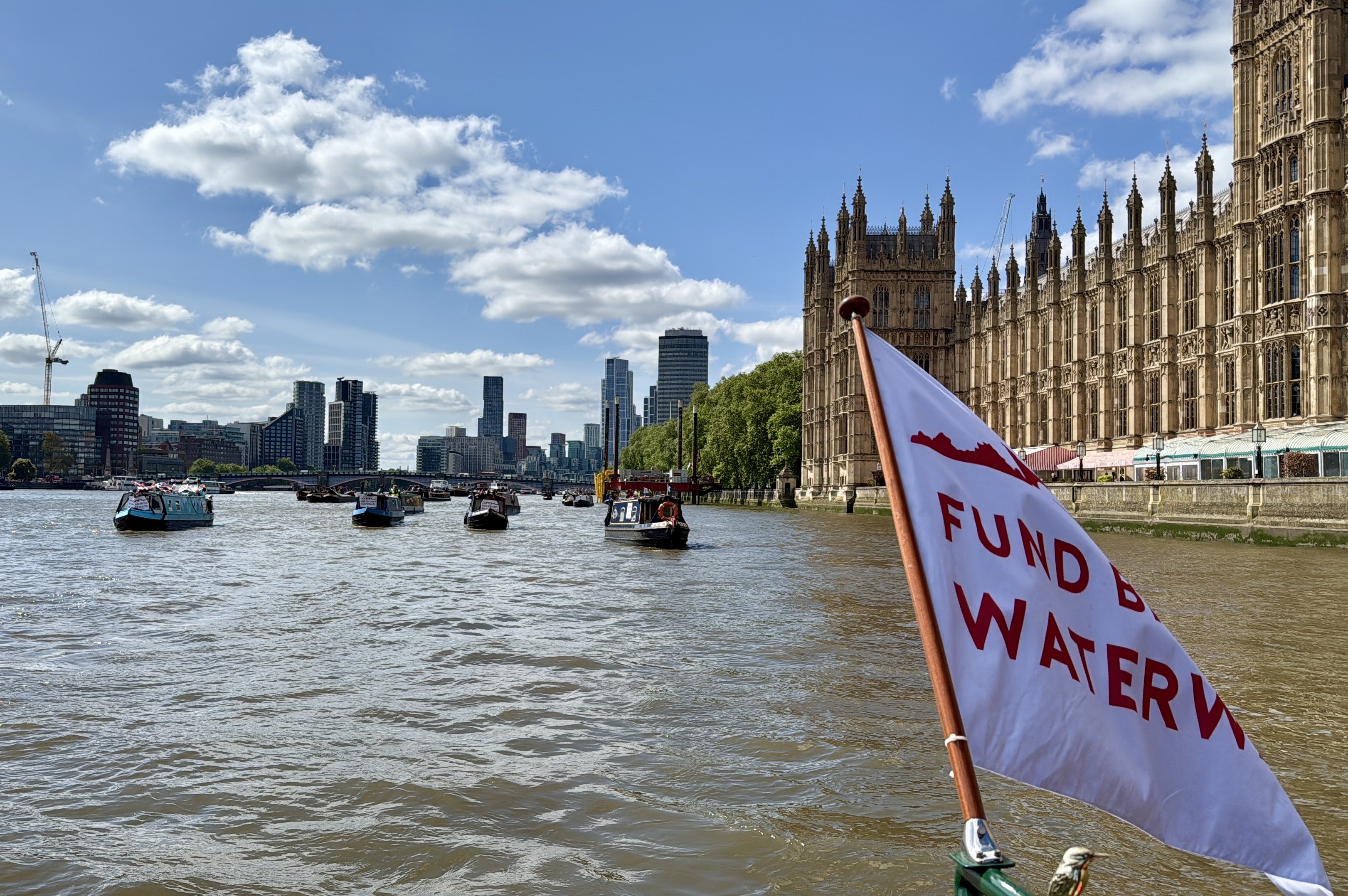
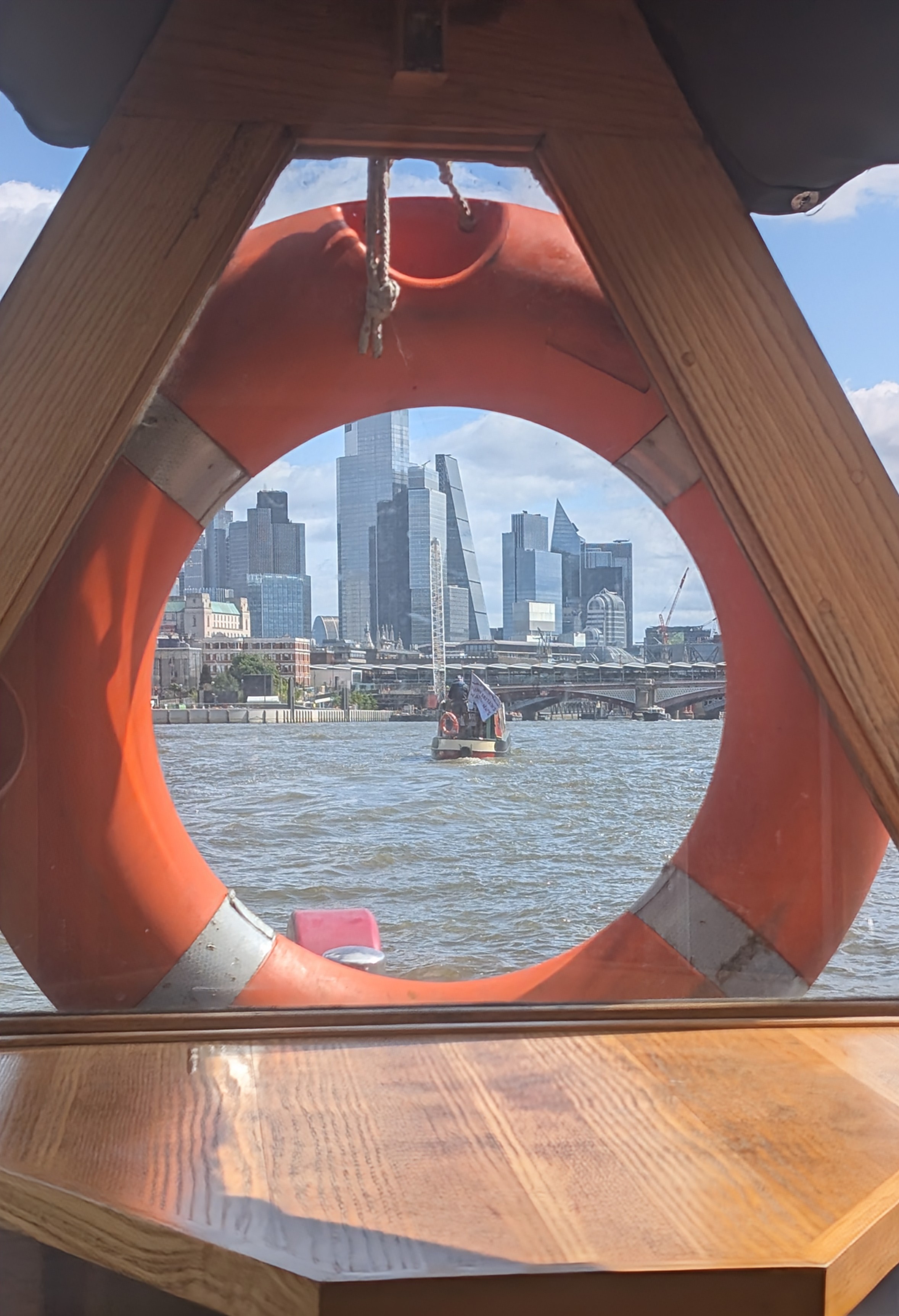
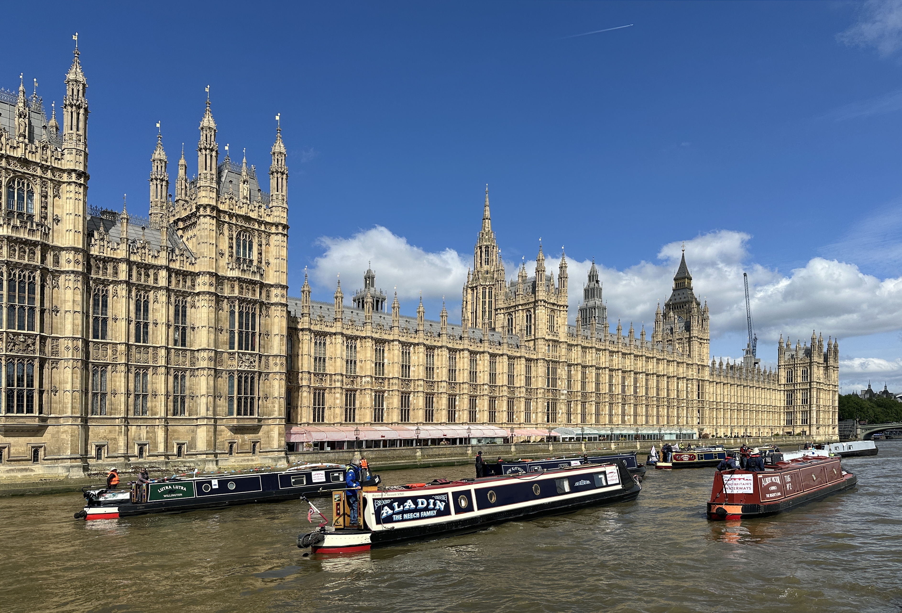
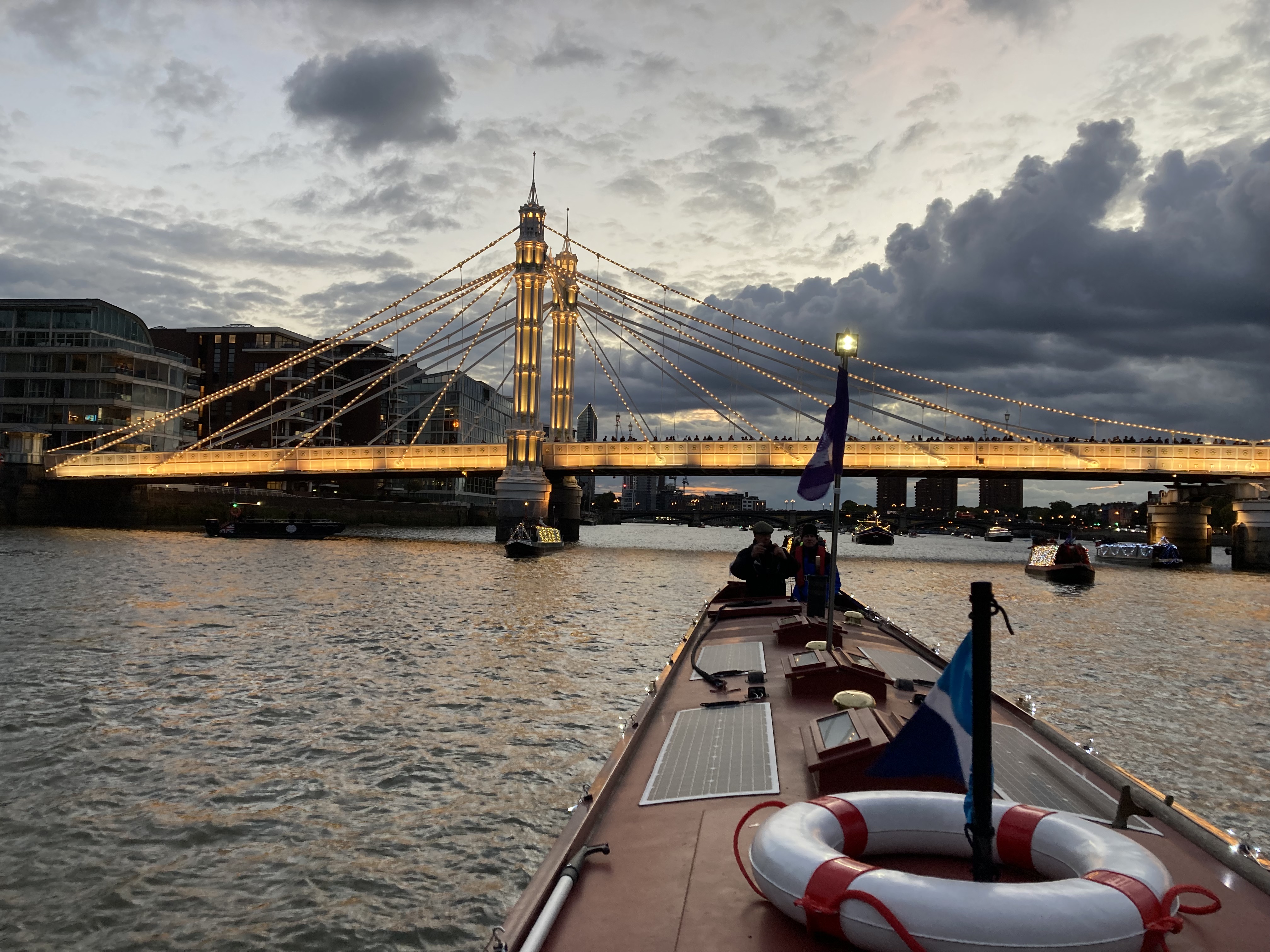
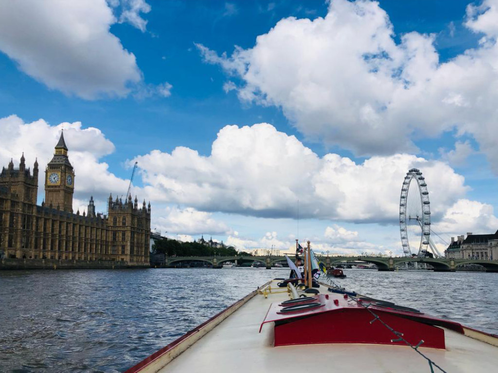
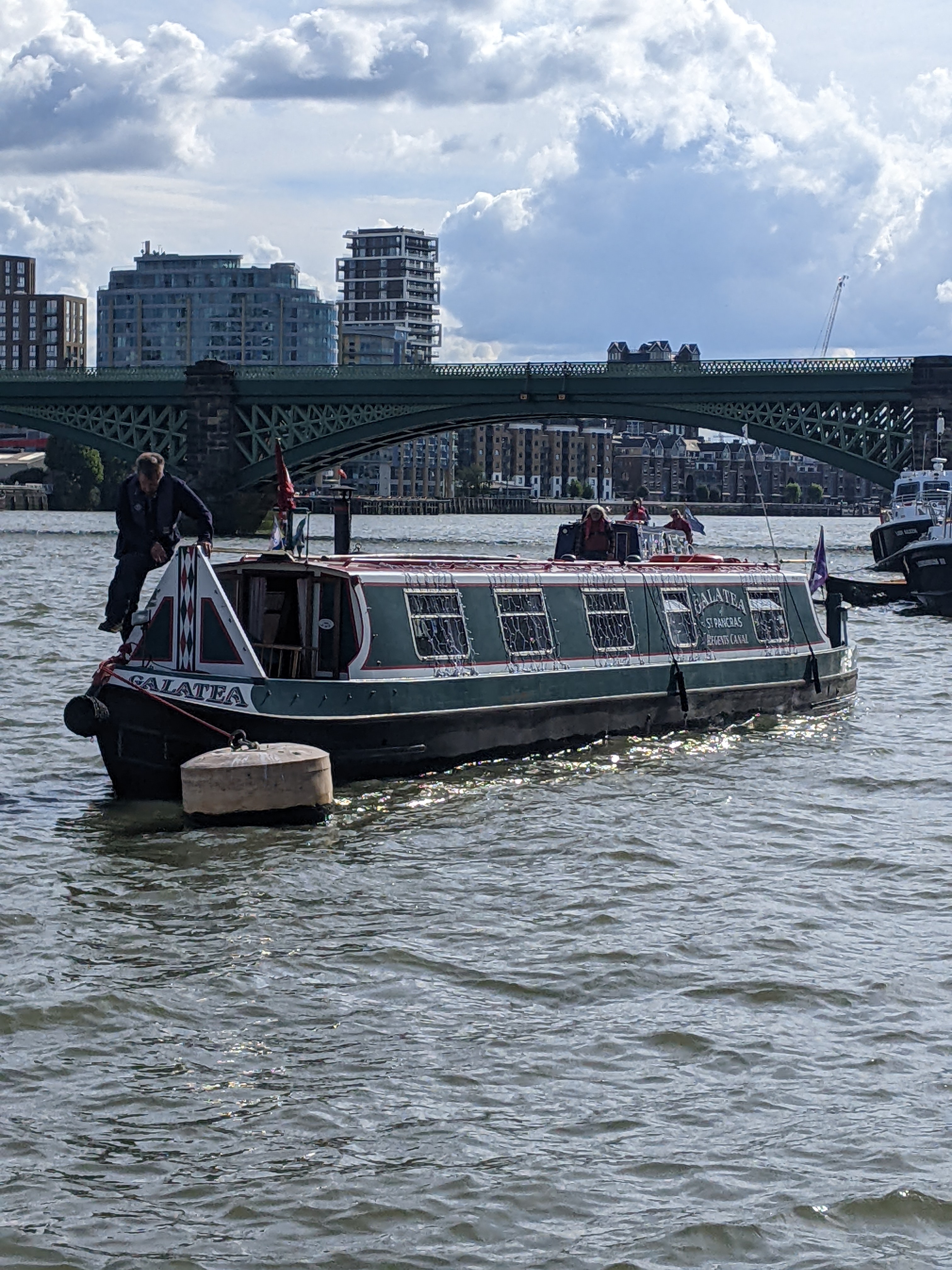
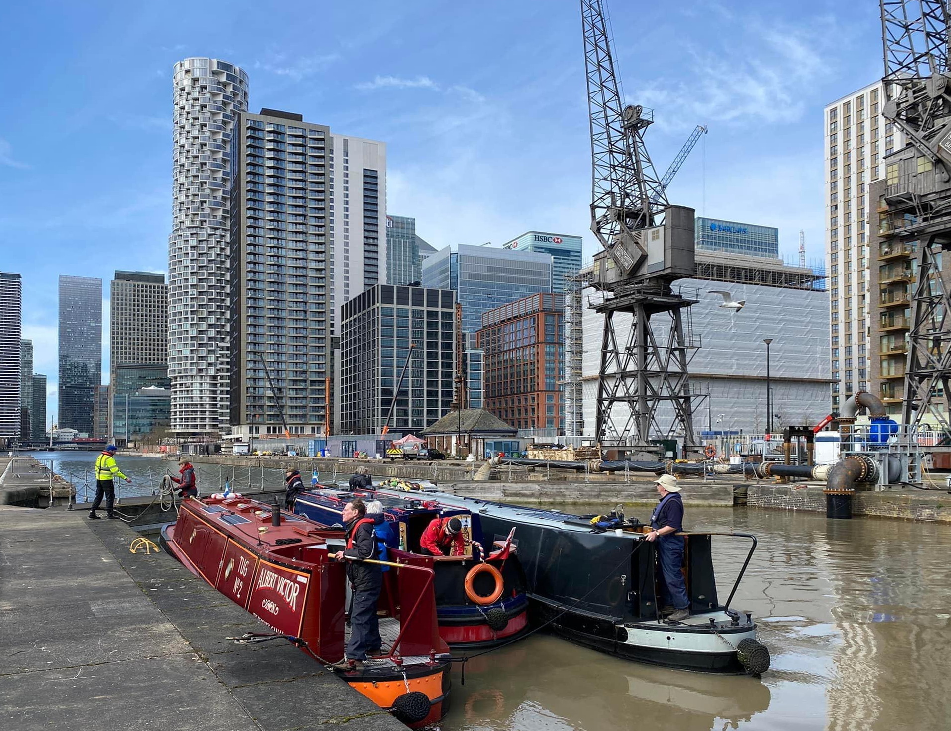
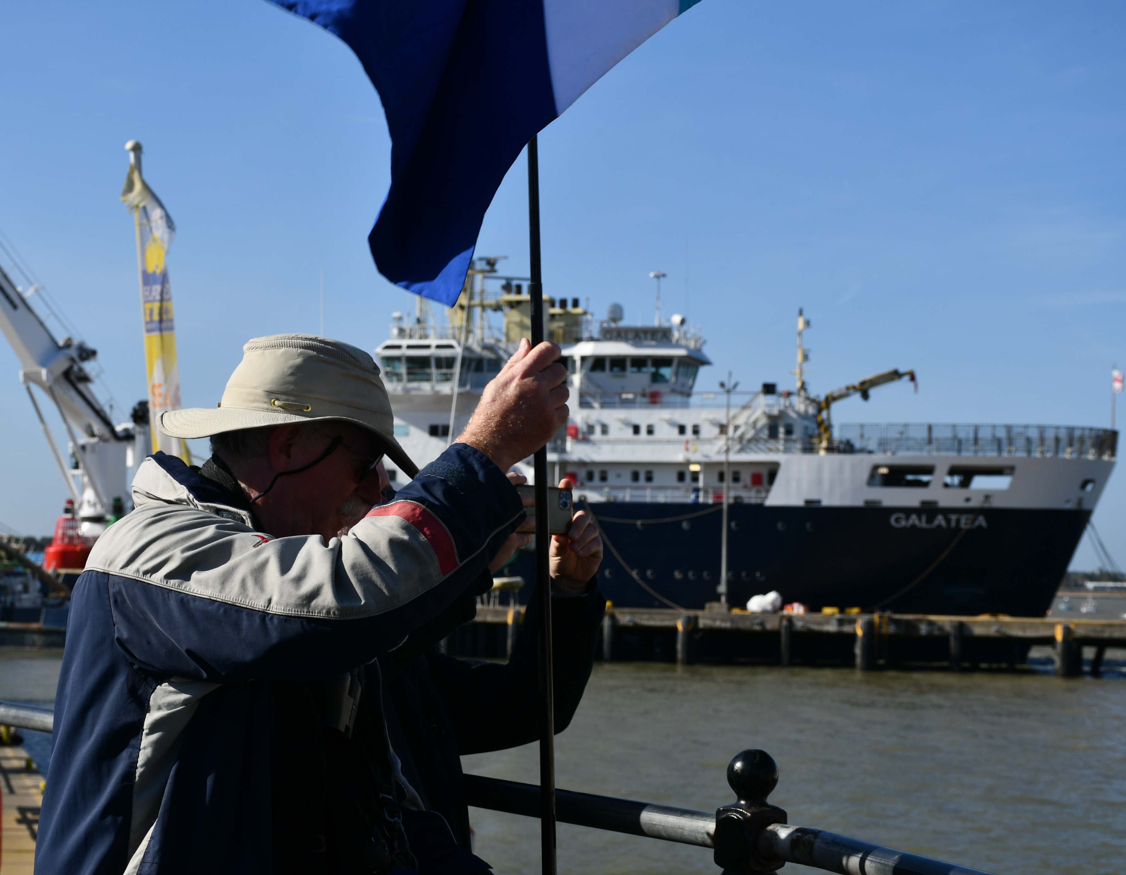
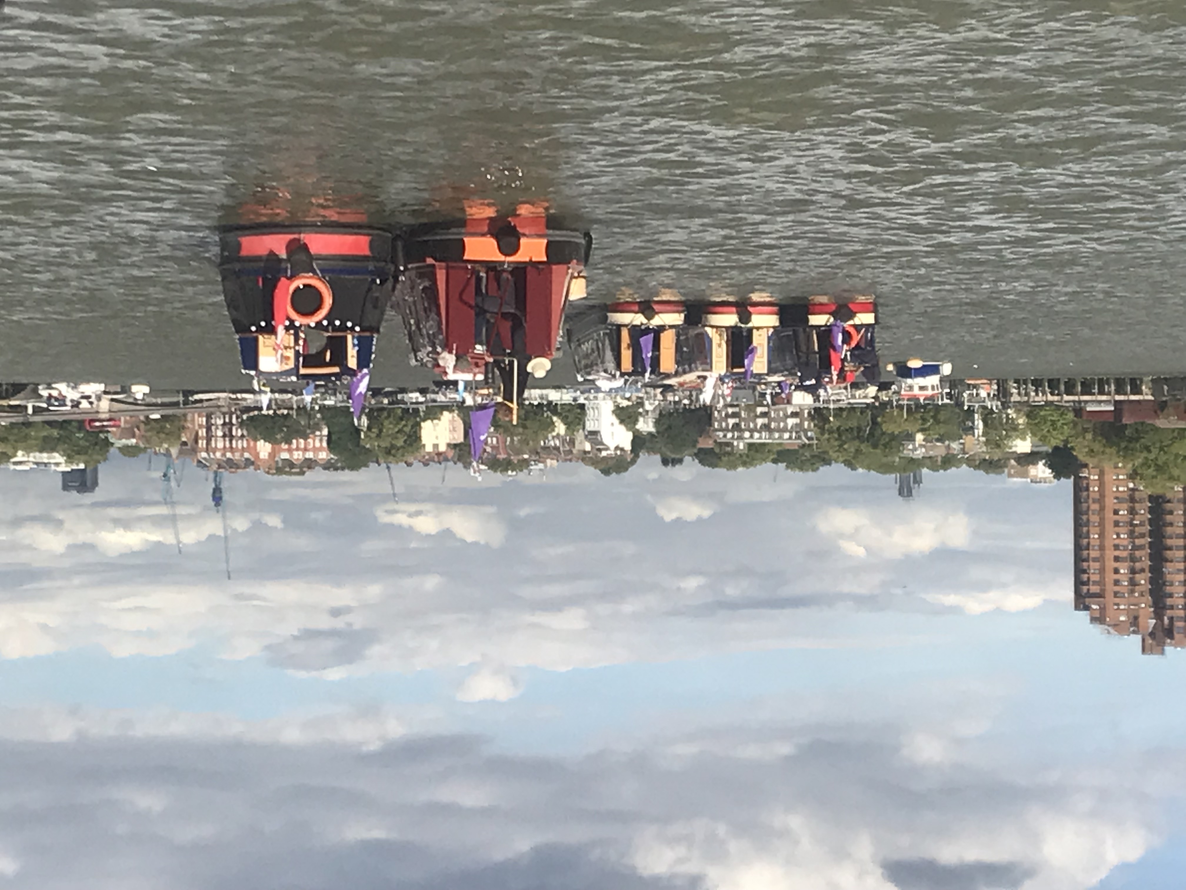
WINNER – Photo 12: Panacea and Little Layla cruising by the Palace of Westminster, Fund British Waterways 2024 by Sally How
rnrn
rnrn
Photo 13: Swift Ditch, June 2024 by Sally How
rnrn
rnrn
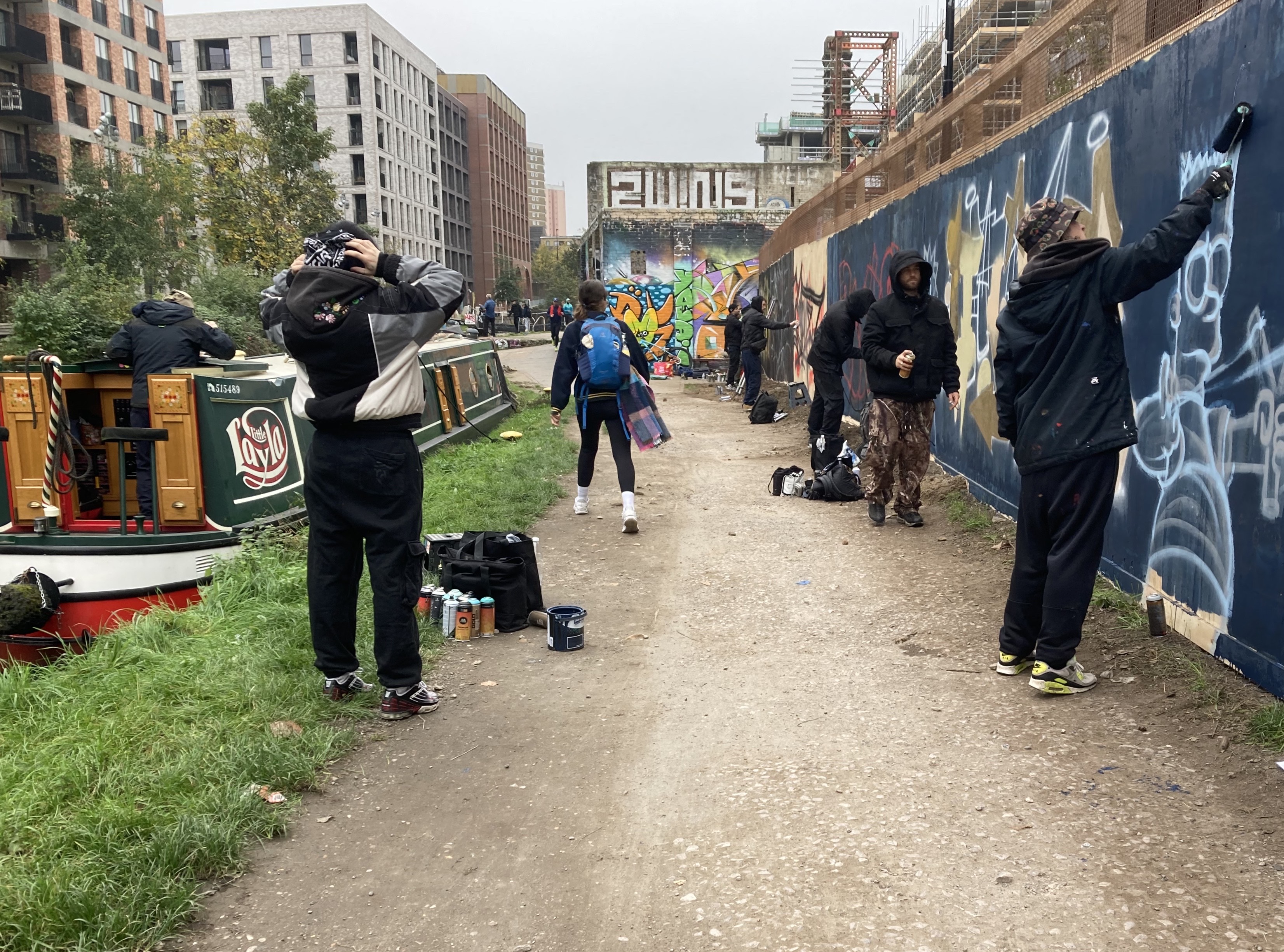
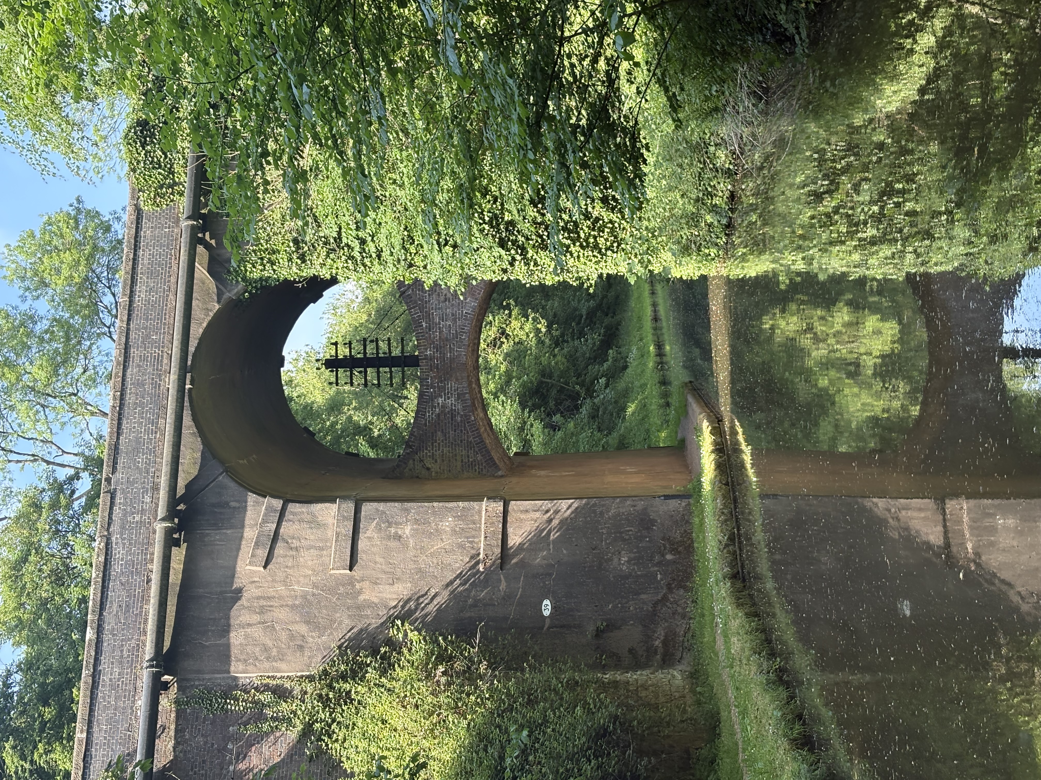
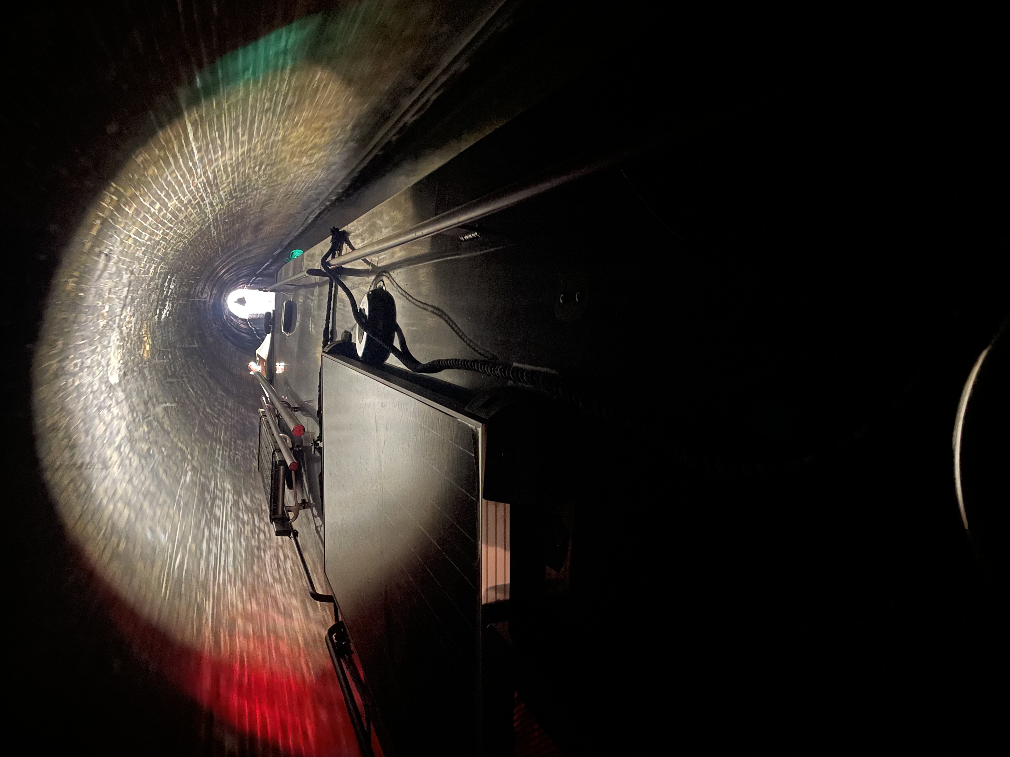
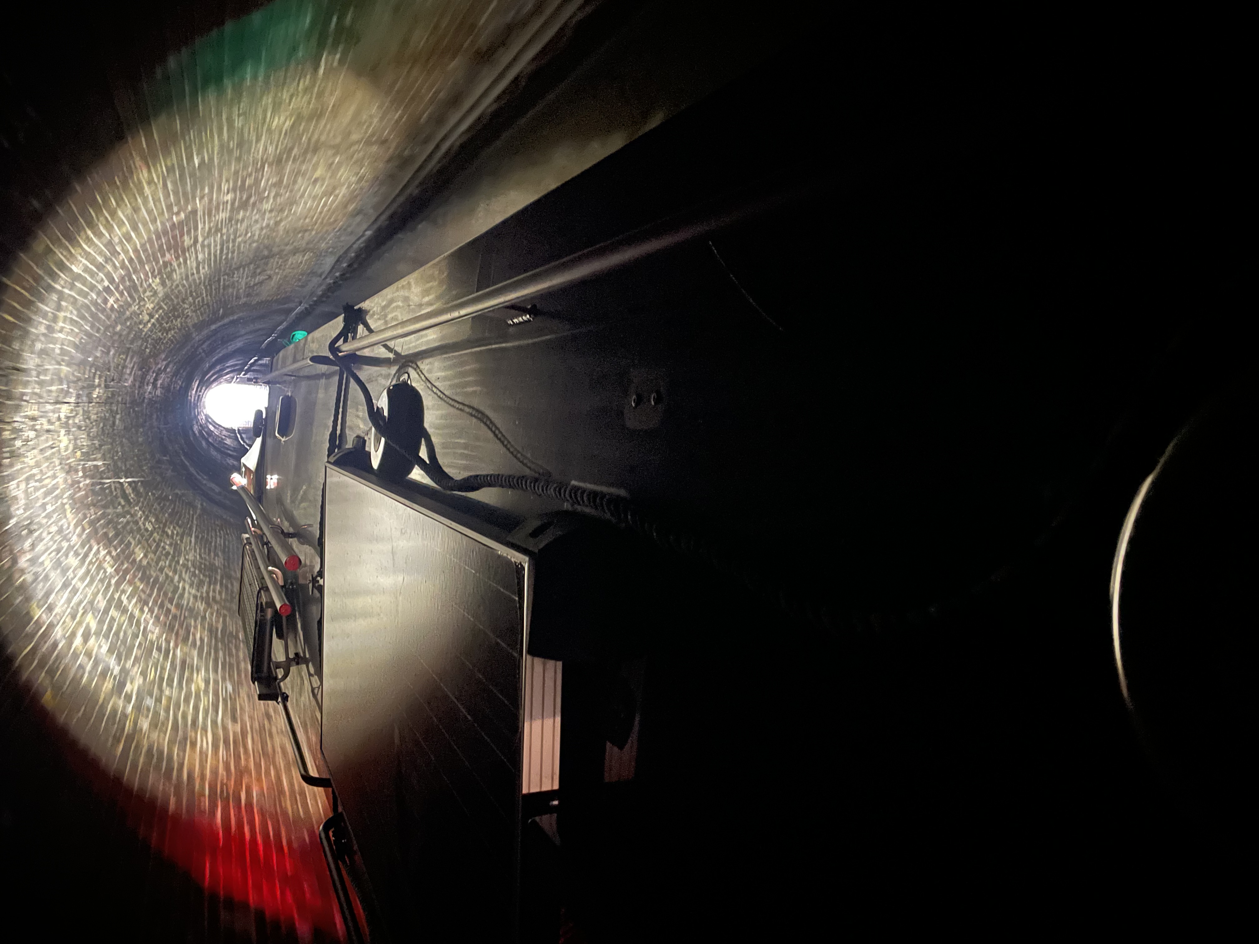
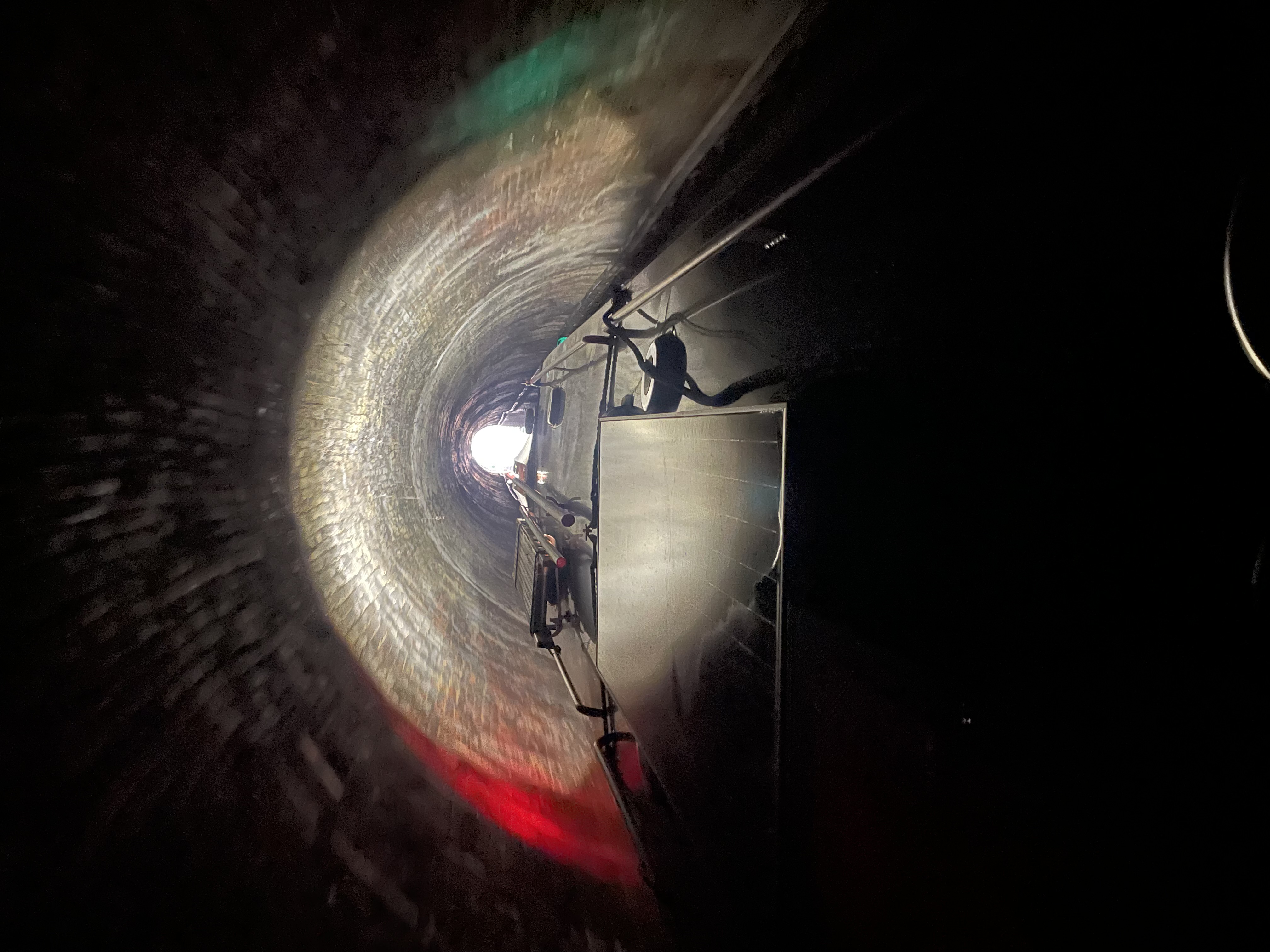
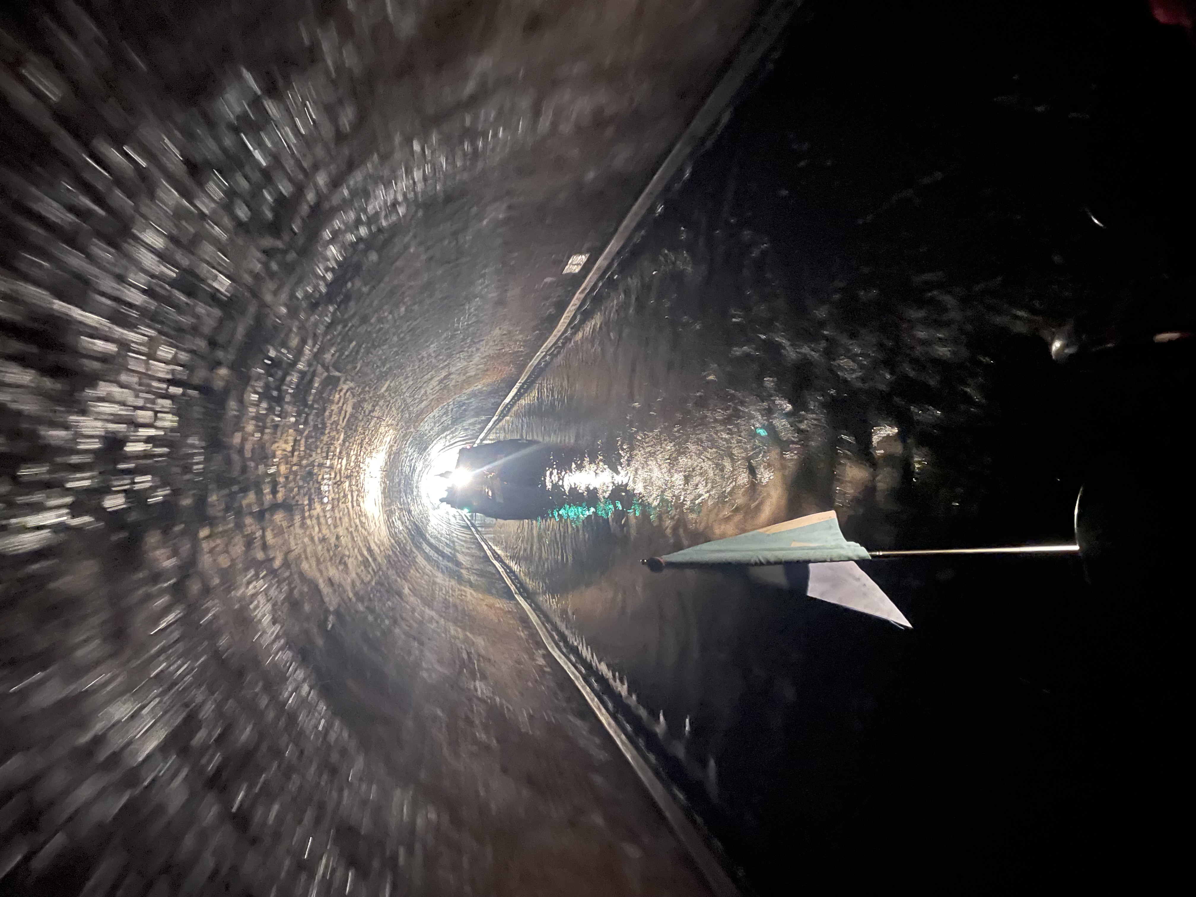
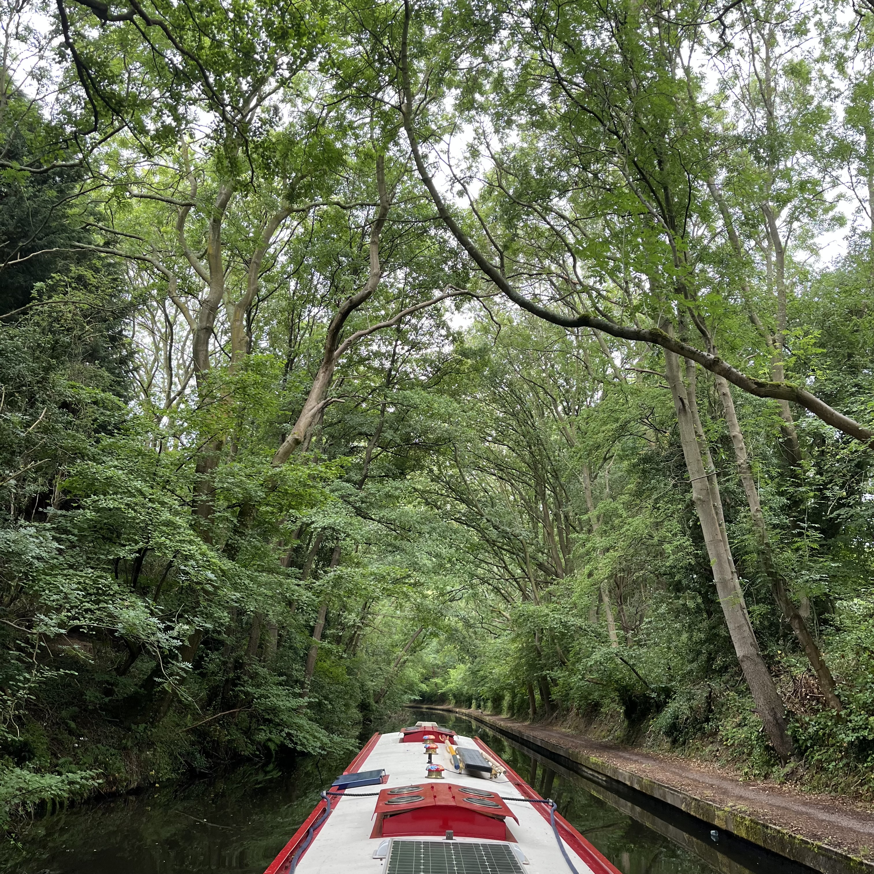
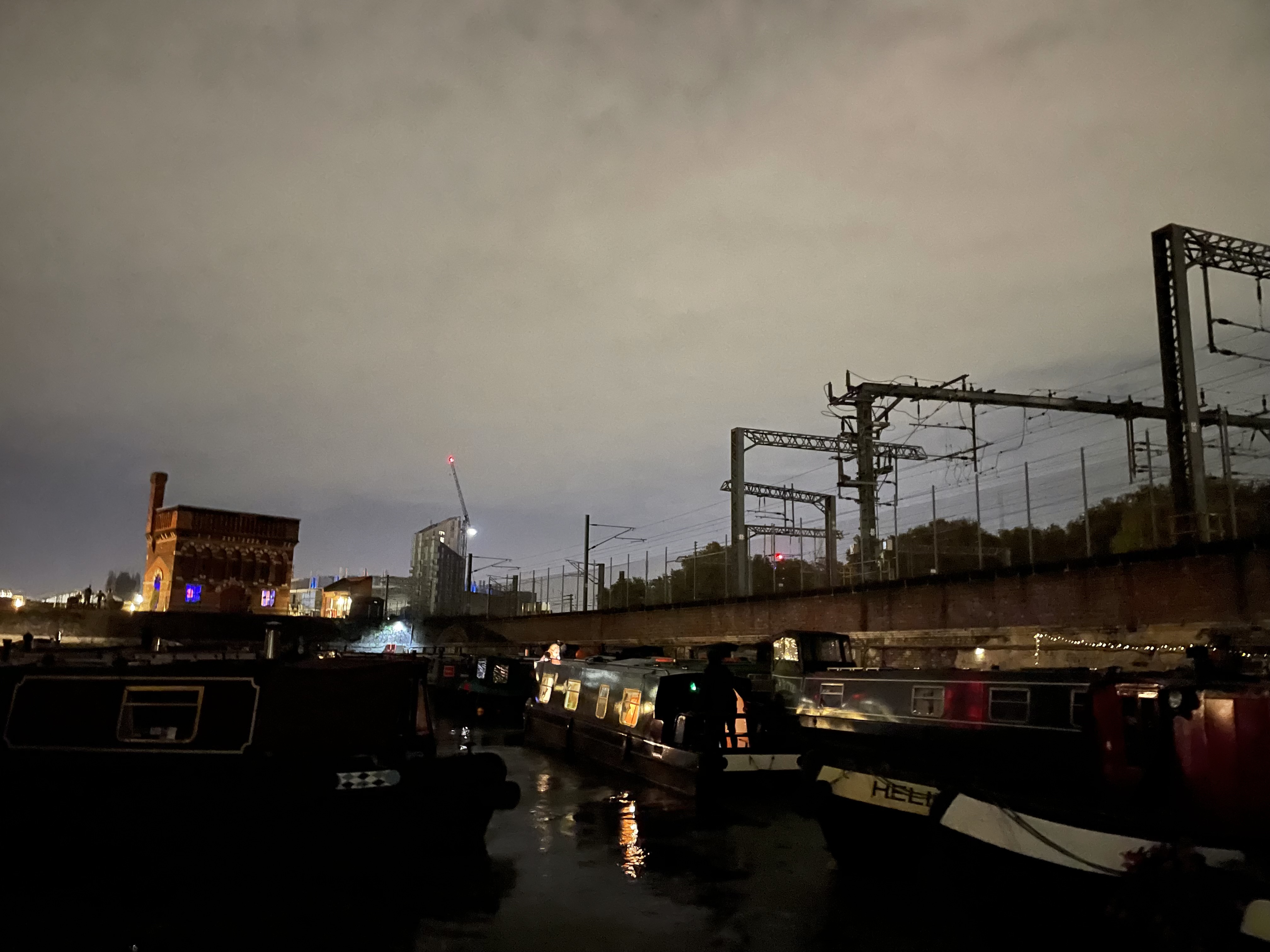
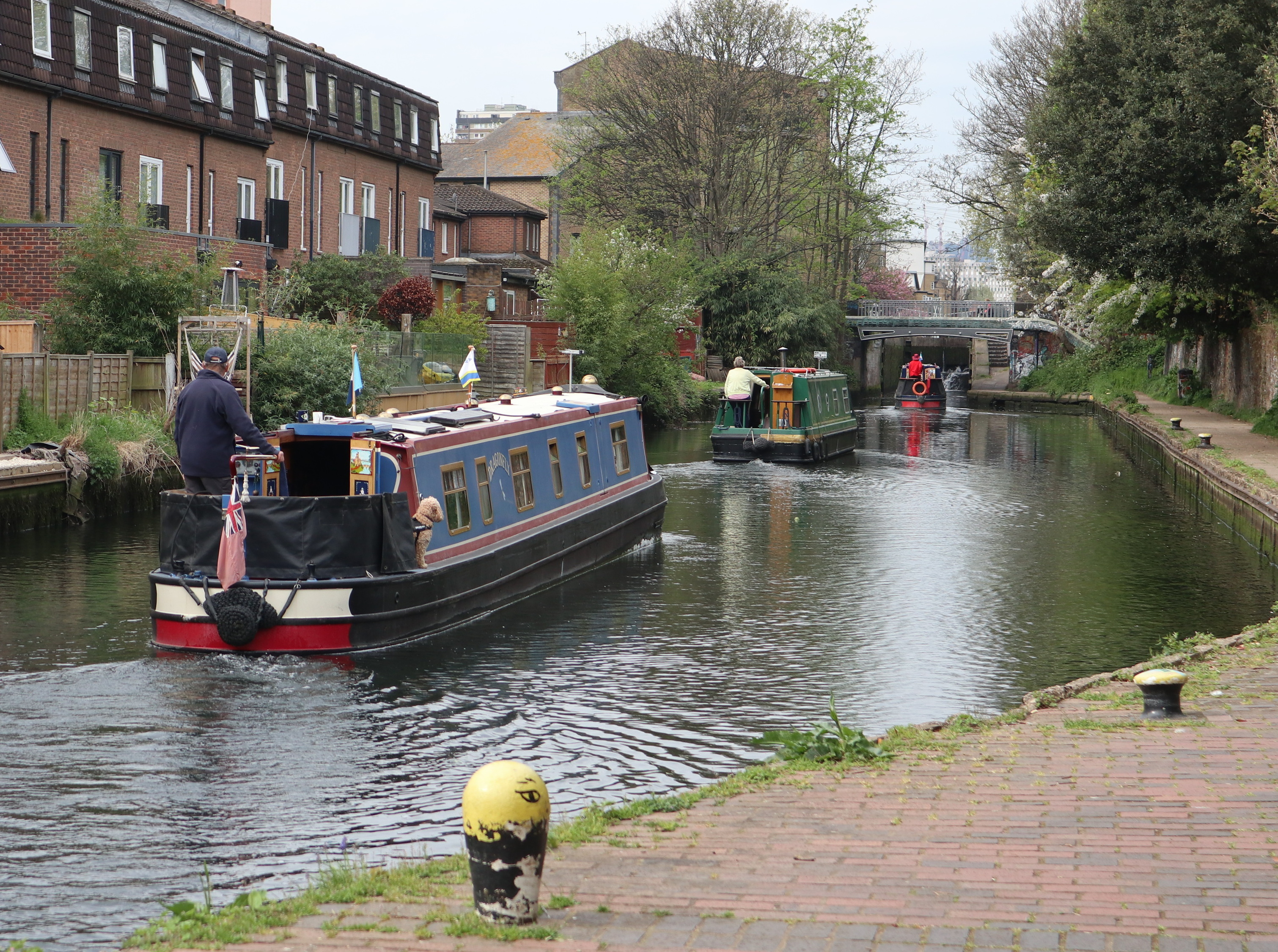
Photo 14: Regents Canal Islington Tunnel 20th June 2024 by Tim Lewis
rnrn
rnrn
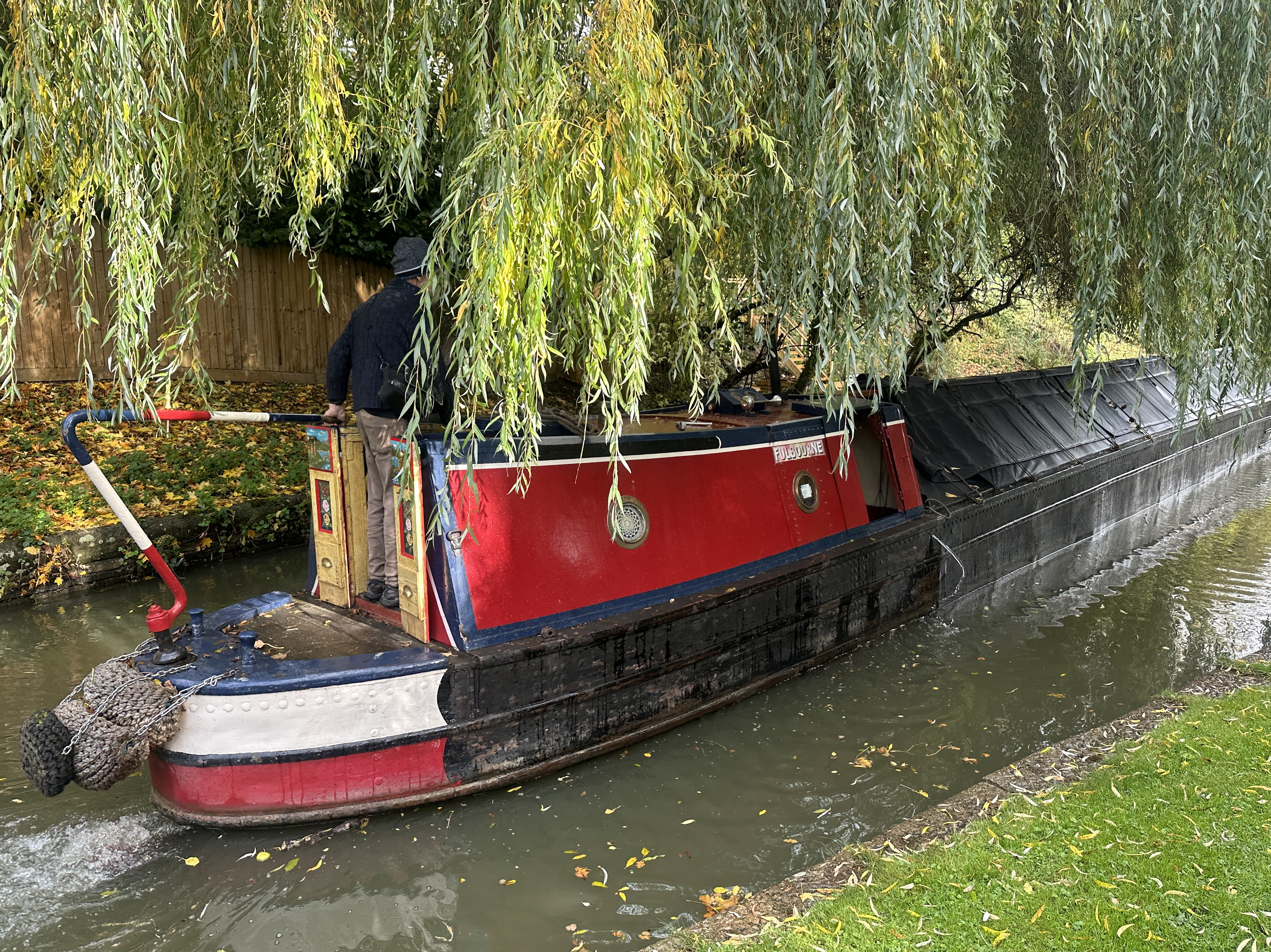
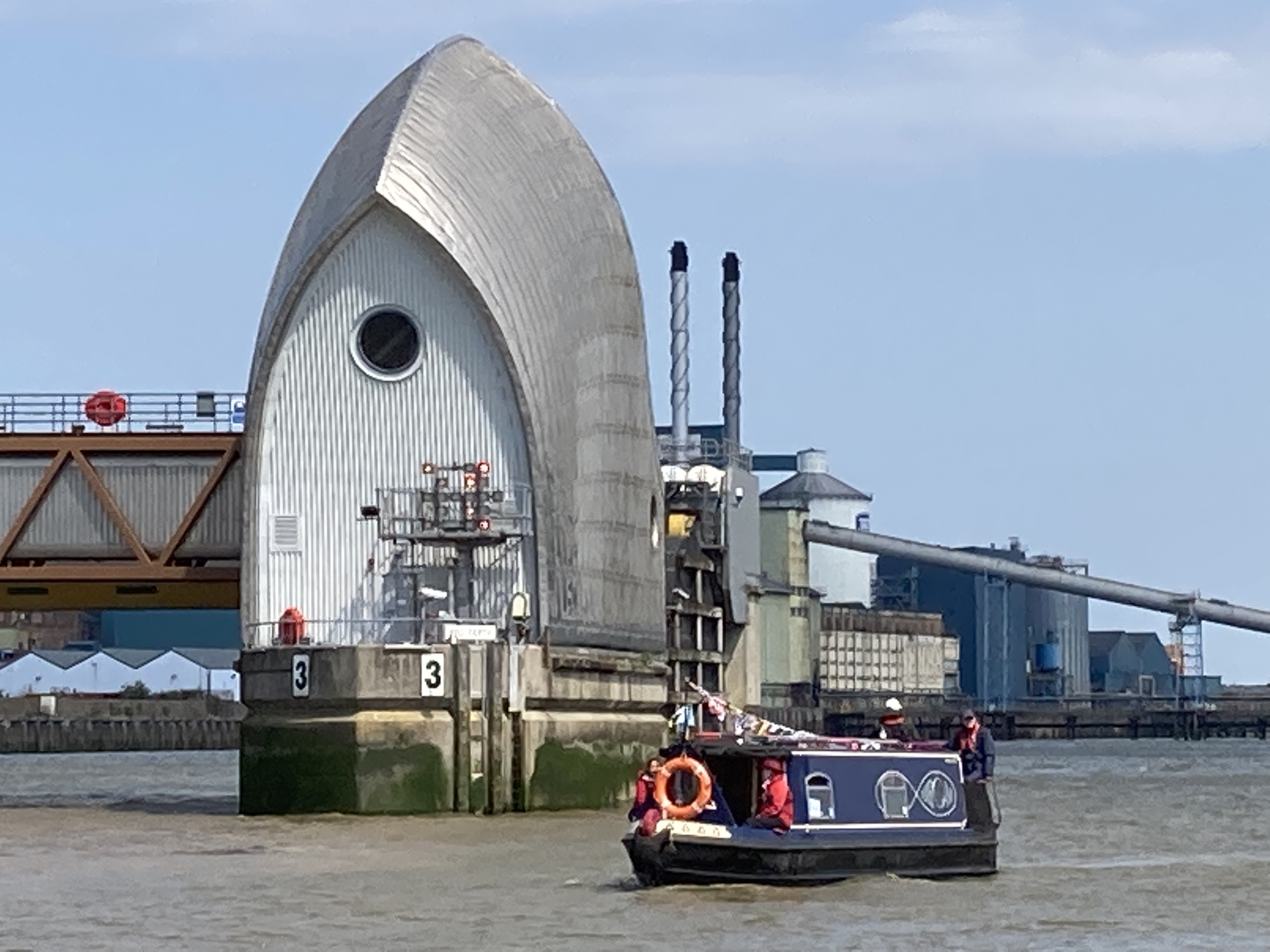
RUNNER UP – Photo 15: Fulbourne Boating FBW Campaign Cruise Limehouse To Margaretness then Brentford Via Westminster 8th May 2024 by Tim Lewis
rnrn
rnrn
RUNNER UP – Photo 16: Regents Canal Walk 18th May 2024 by Tim Lewis
rnrn
rnrn
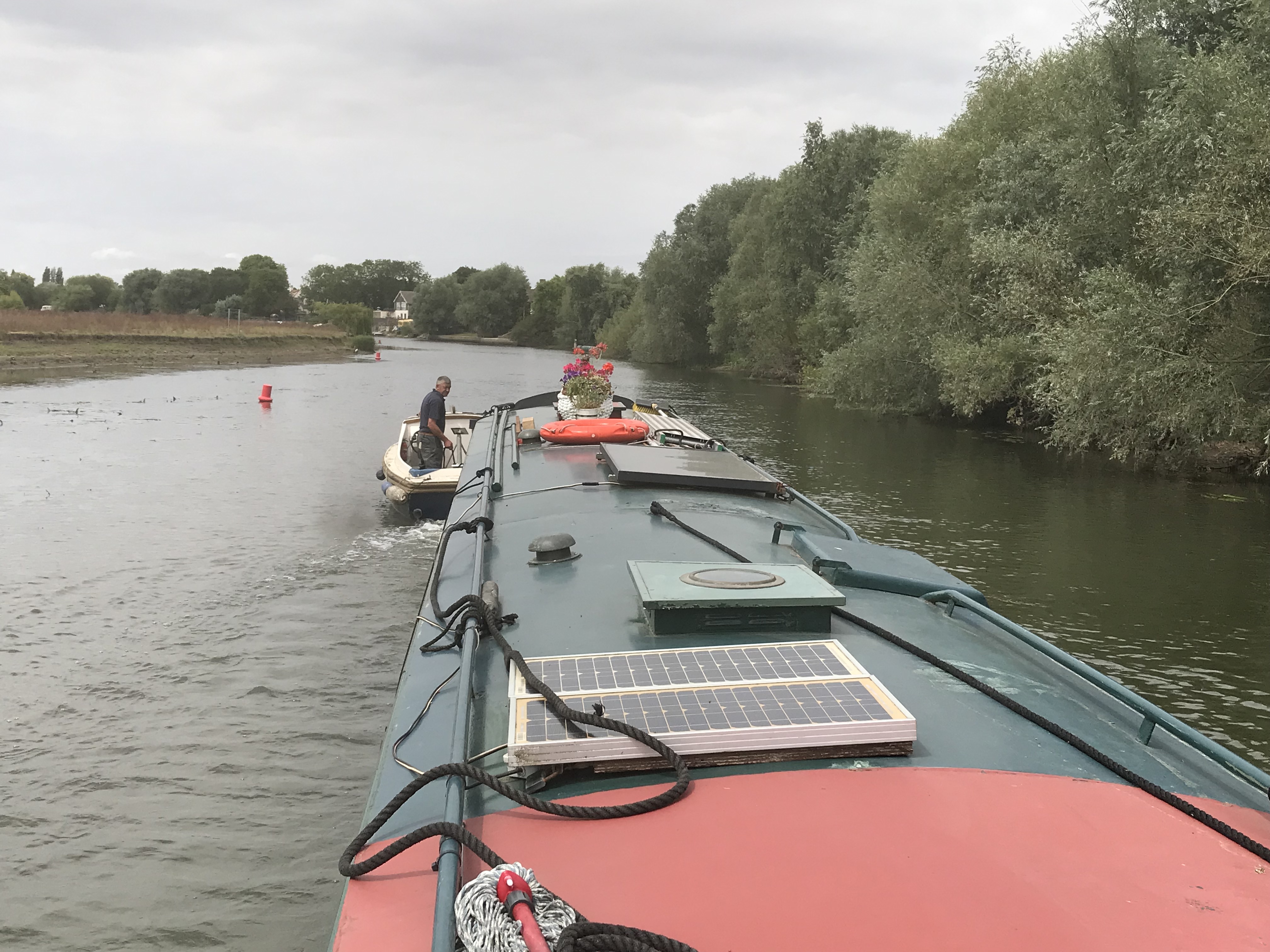
Photo 17: Fulbourne Boating FBW Campaign Cruise Limehouse To Margaretness then Brentford Via Westminster 8th May 2024 by Tim Lewis
rnrn
rnrn
Photo 18: A wet days boating 3rd May 2024 by Tim Lewis
rnrn
rnrn
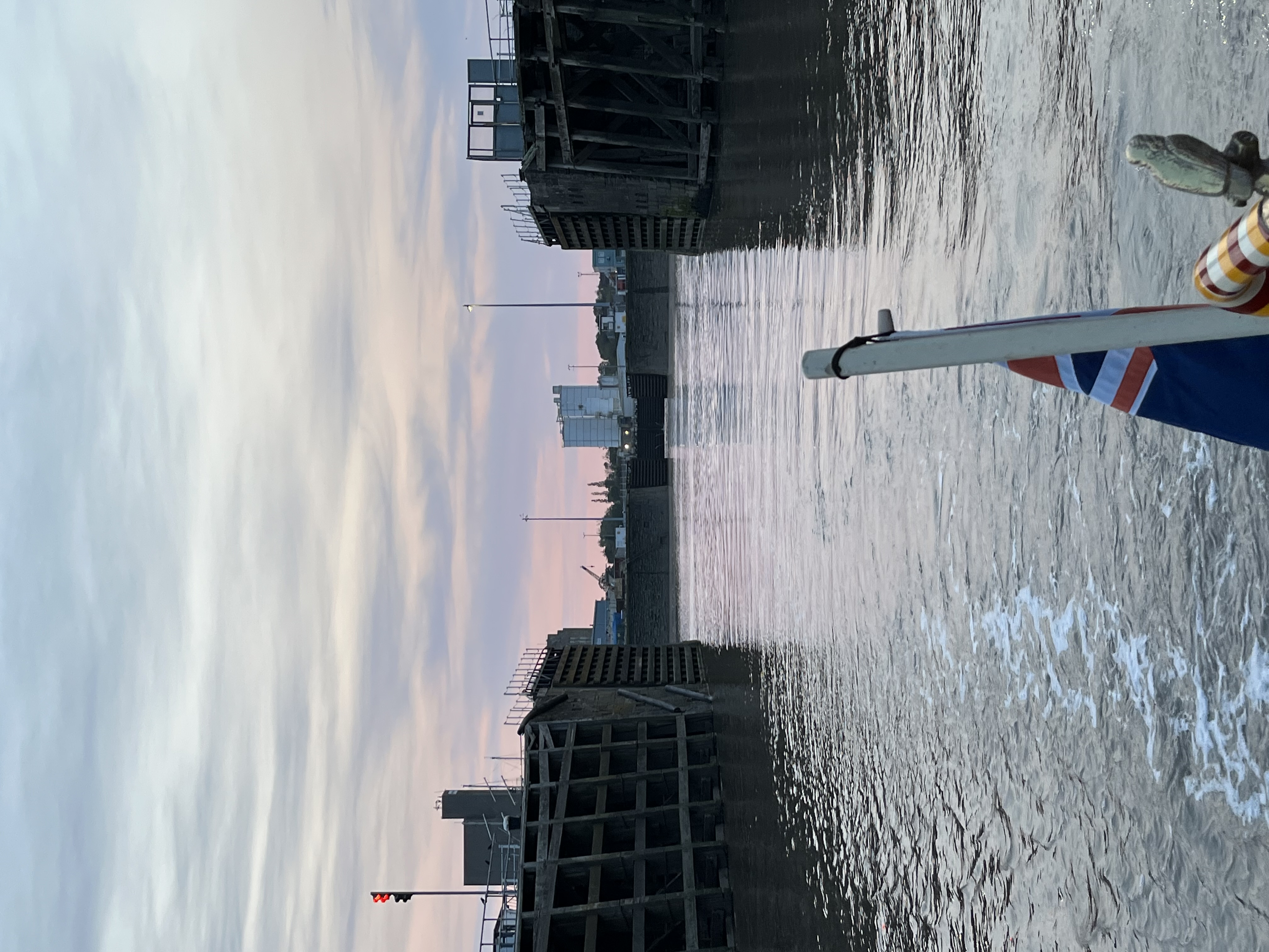
Photo 19: Sunset over Saint Pancras by Julie Clark
rnrn
rnrn
Photo 20: Sunshine between the clouds by Julie Clark
rnrn
rnrn
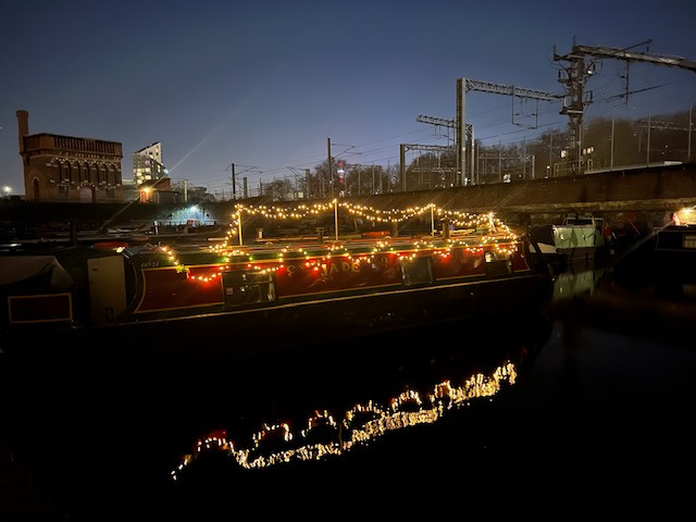
Photo 21: A bit of Christmas sparkle by Julie Clark
rnrn
rnrn
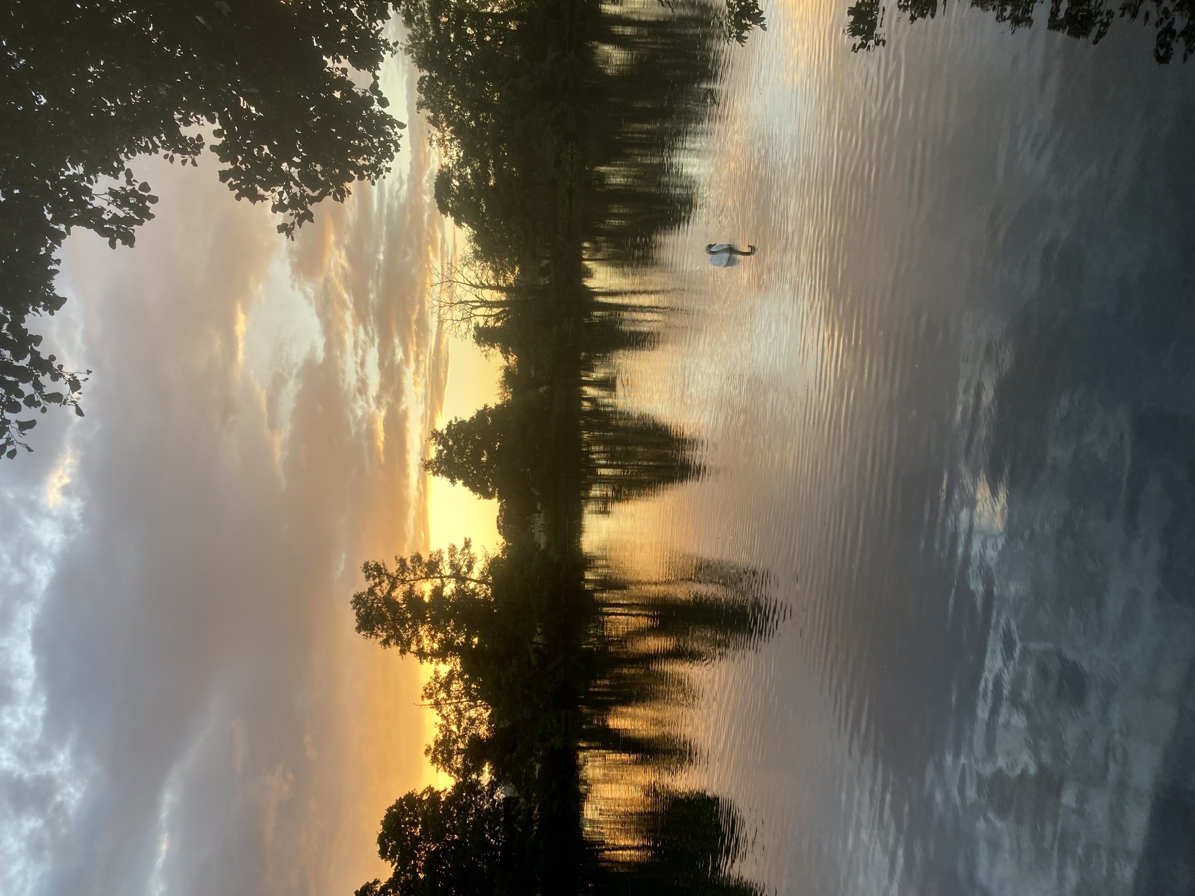
Photo 22: Calm autumn evening by Julie Clark
rnrn
rnrn
rn
-
Collinson Photographic Competition 2025
To view an entry please click on the thumbnail, which will open the photograph in a new window.
rnAll photographs are the copyright of their respective owners. Please do not download or copy any photograph without the owner’s permission.rnrn
rnPhoto 1: CovenTree Canal June 25
rnrn
rnrn
Photo 2: Watering Hole – Trent and Mersey Canal June 2025
rnrn
rnrn
Photo 3: Immersed in Nature, Shropshire Union Canal near Market Drayton May 2025
rnrn
rnrn
Photo 4: Grand Design – Shropshire Union Canal May 2025
rnrn
rnrn
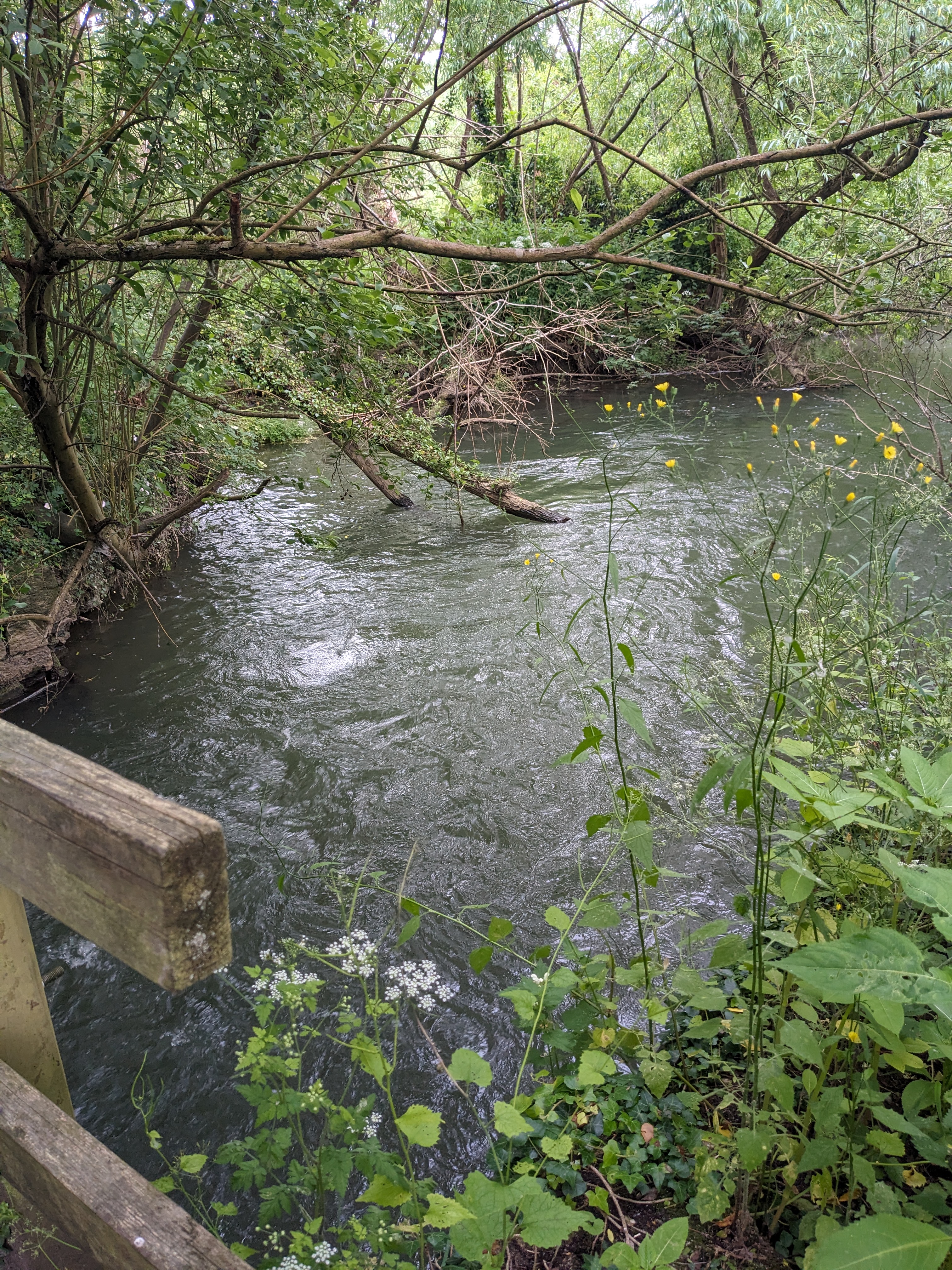
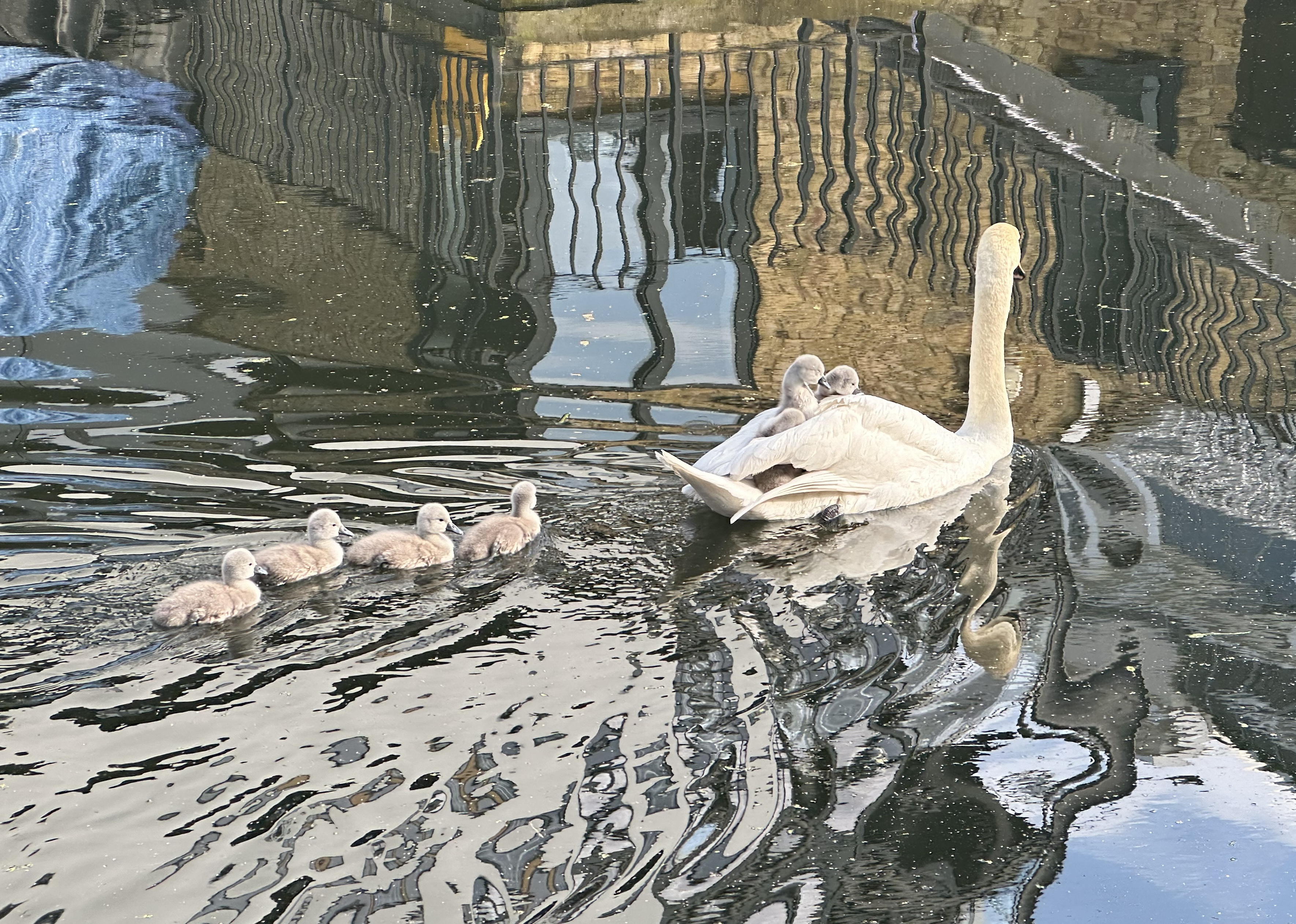
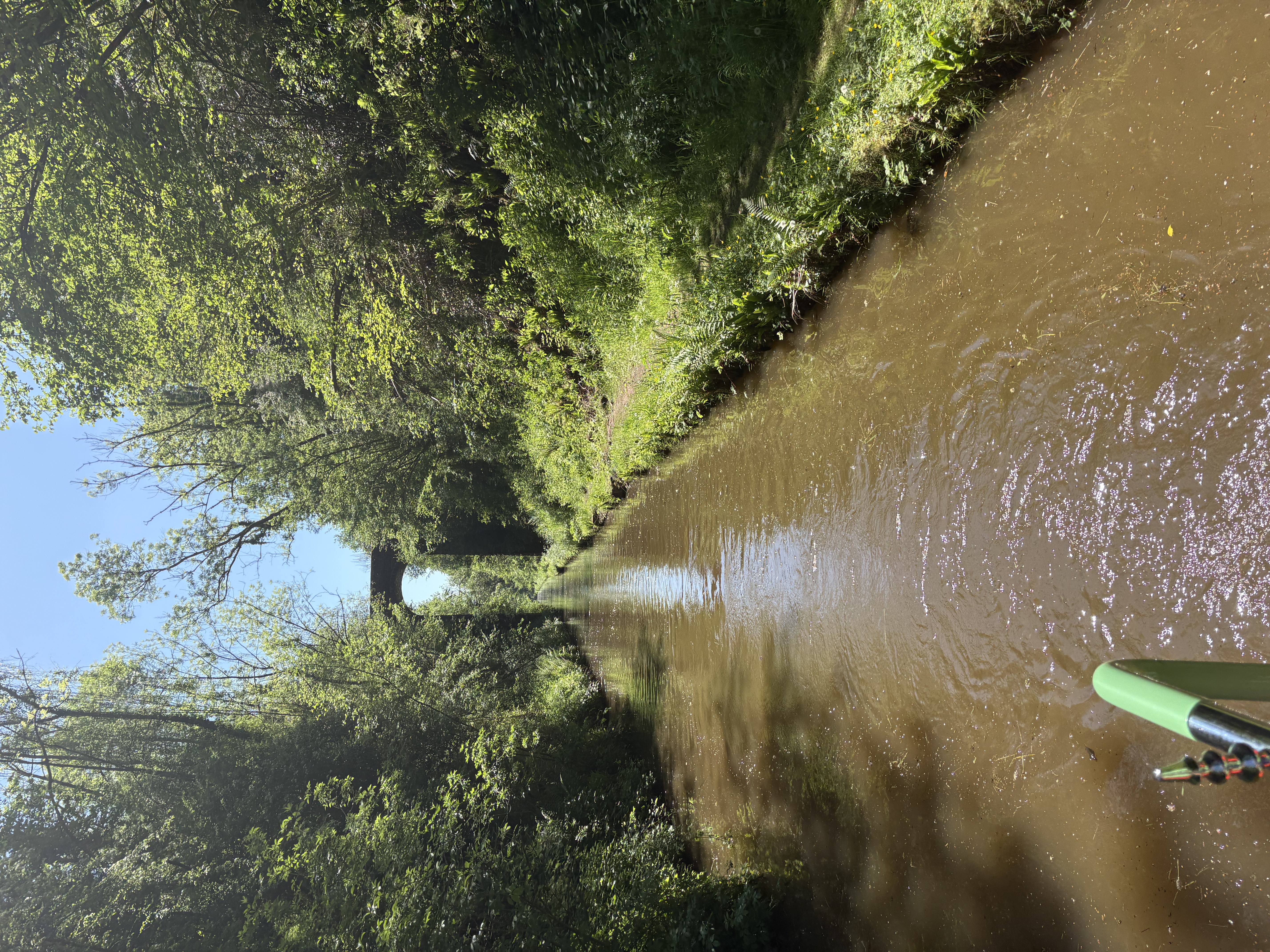
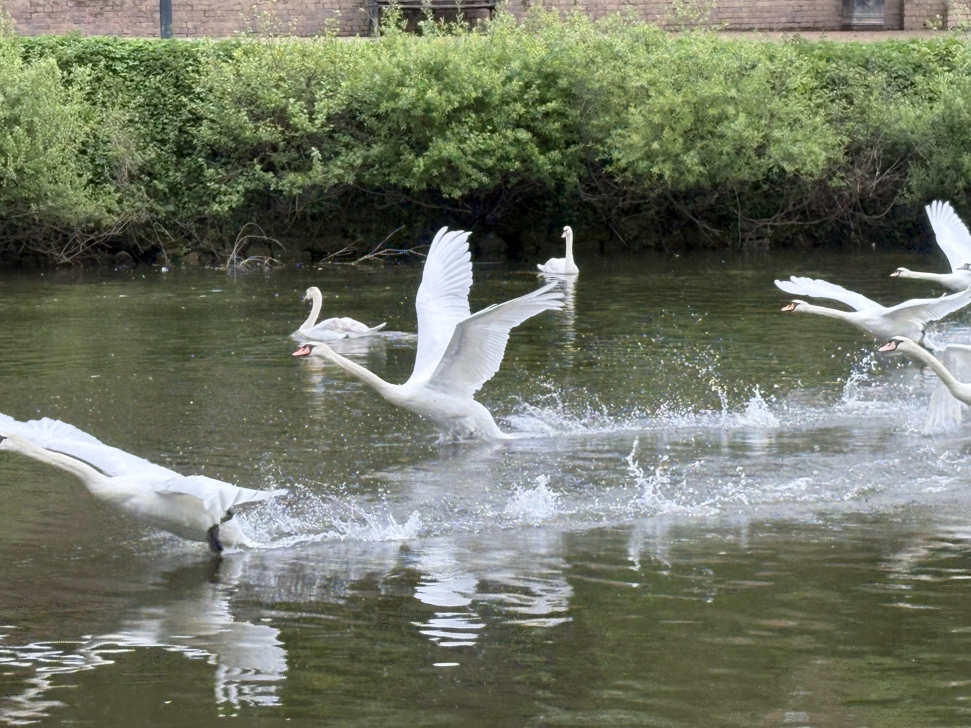
Photo 5: Swans, River Severn April 2025
rnrn
rnrn
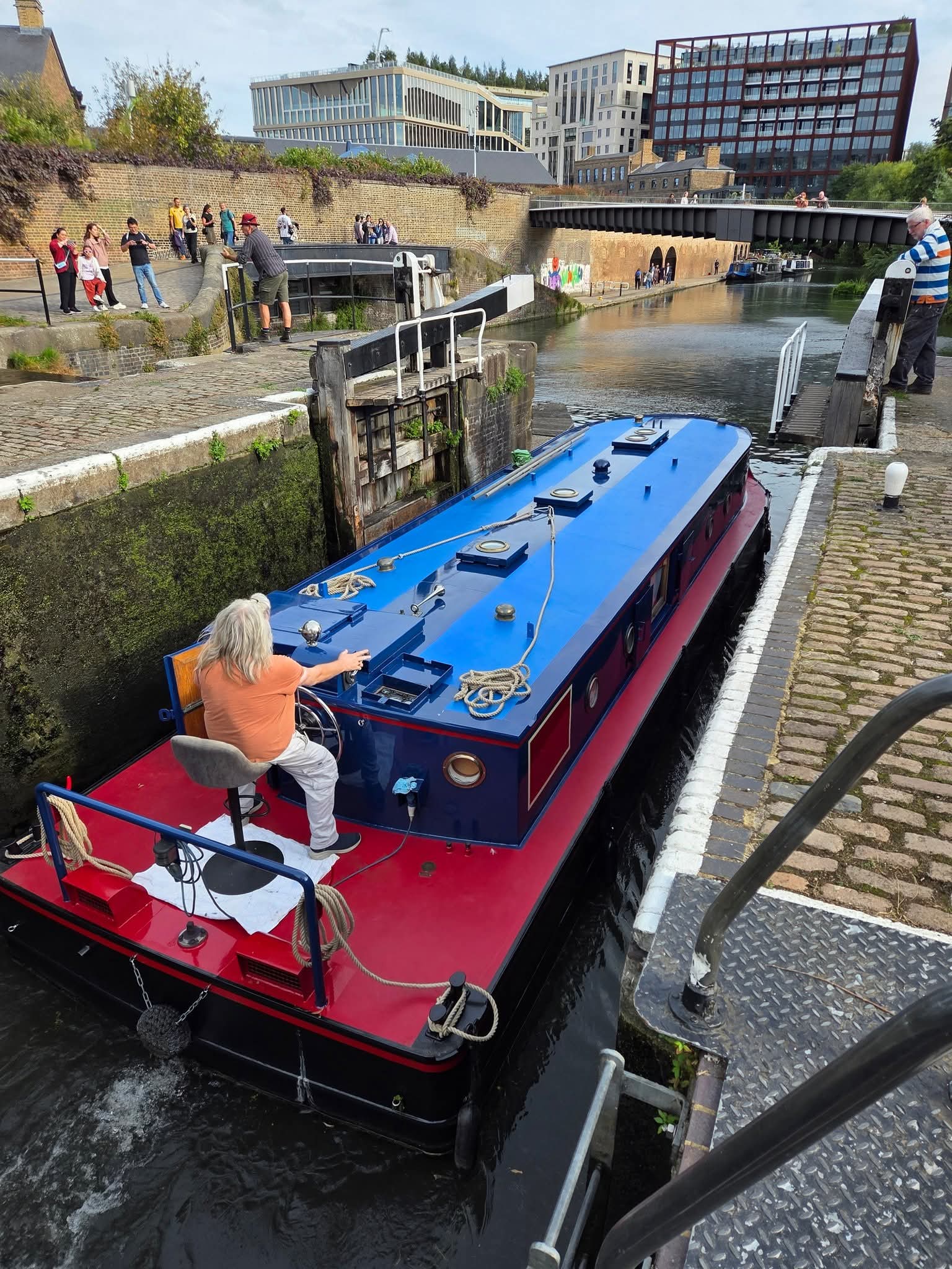
Photo 6: Big boy leaving the lock
rnrn
rnrn
Photo 7: untitled
rnrn
rnrn
Photo 8: After the rain Cliveden summer 2025
rnrn
rnrn
Photo 9: After the rain Cliveden summer 2025
rnrn
rnrn
Photo 10: After the rain Cliveden summer 2025
rnrn
rnrn
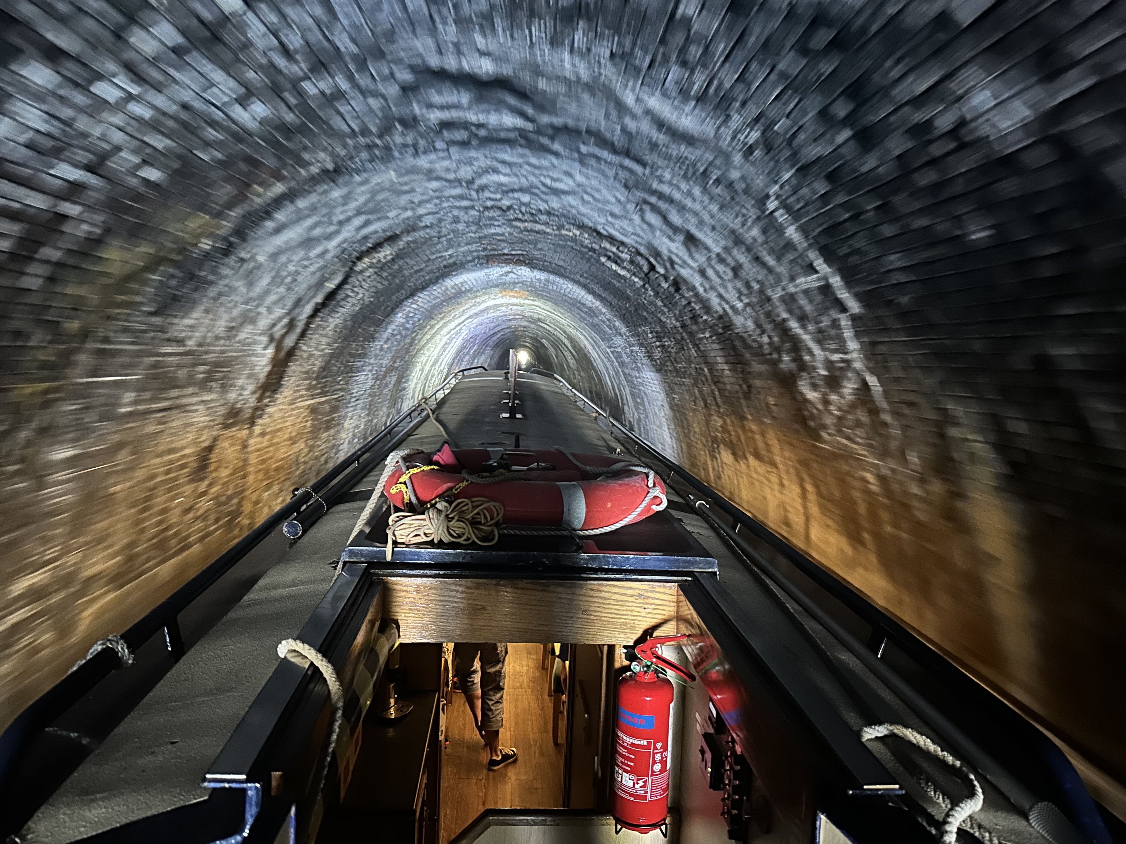
Photo 11: Islington tunnel Icicle Cruise 2025
rnrn
rnrn
Photo 12: Islington tunnel Icicle Cruise 2025
rnrn
rnrn
Photo 13: Islington tunnel Icicle Cruise 2025
rnrn
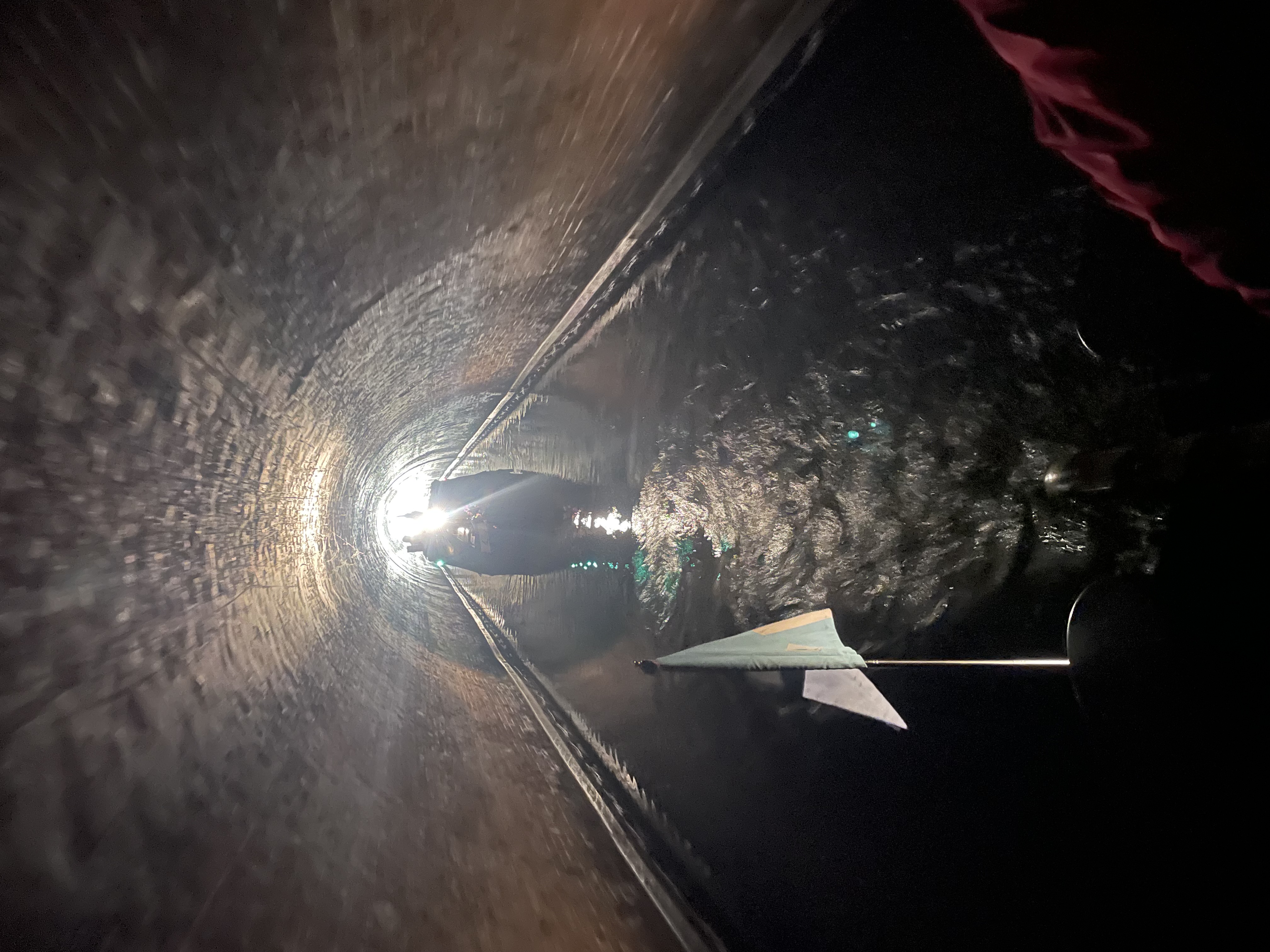
rnrn
Photo 14: Islington tunnel Icicle Cruise 2025
rnrn
rnrn
Photo 15: Islington tunnel Icicle Cruise 2025
rnrn
rnrn
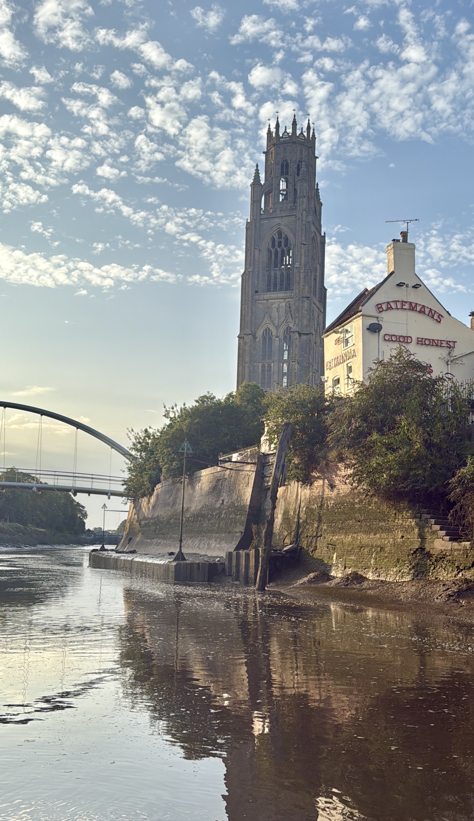
Photo 16: Boston Stump – arriving from Wisbech
rnrn
rnrn
Photo 17: Commodore and First Lady with Baroness
rnrn

rnrn
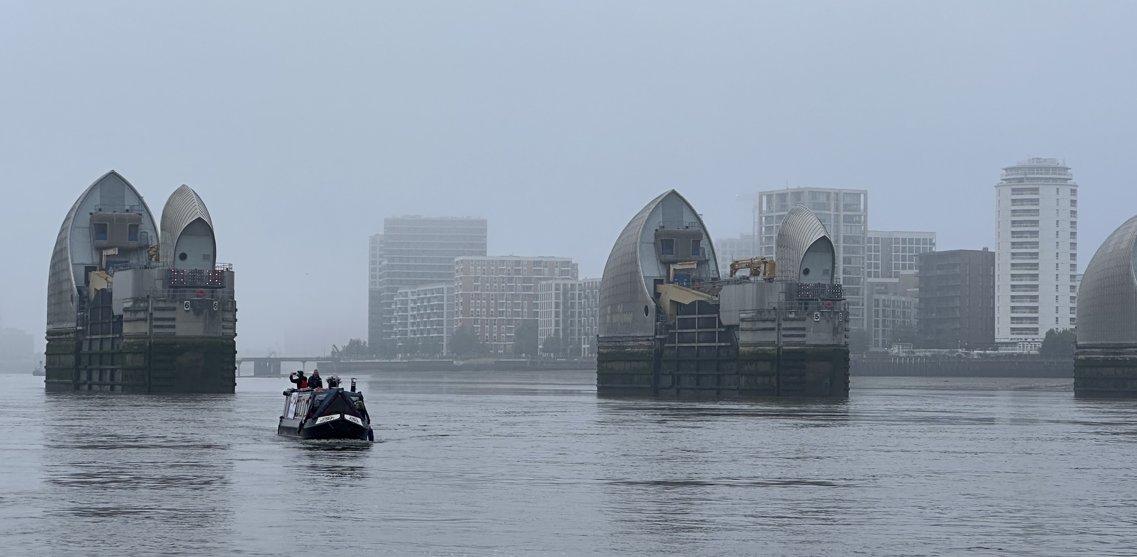
Photo 18: Campaigning at Westminster
rnrn
rnrn
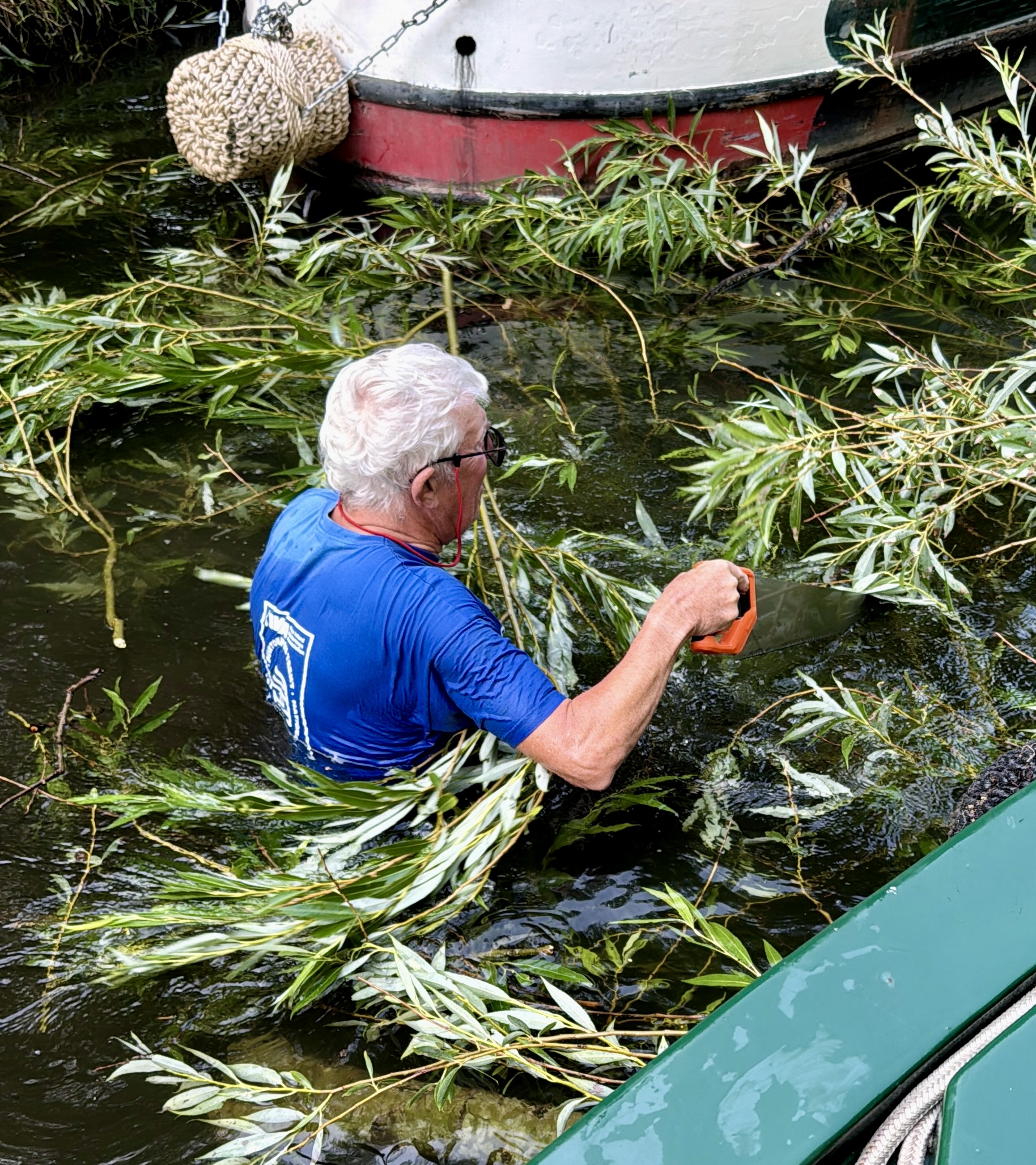
Photo 19: Arboriculture on the Trent and Mersey
rnrn
rnrn
Photo 20: Early spring boating
rnrn
rnrn
Photo 21: Our Bridge
rnrn
rnrn
Photo 22: Festival Night
rnrn
rnrn
Photo 23: Watching
rnrn
rnrn
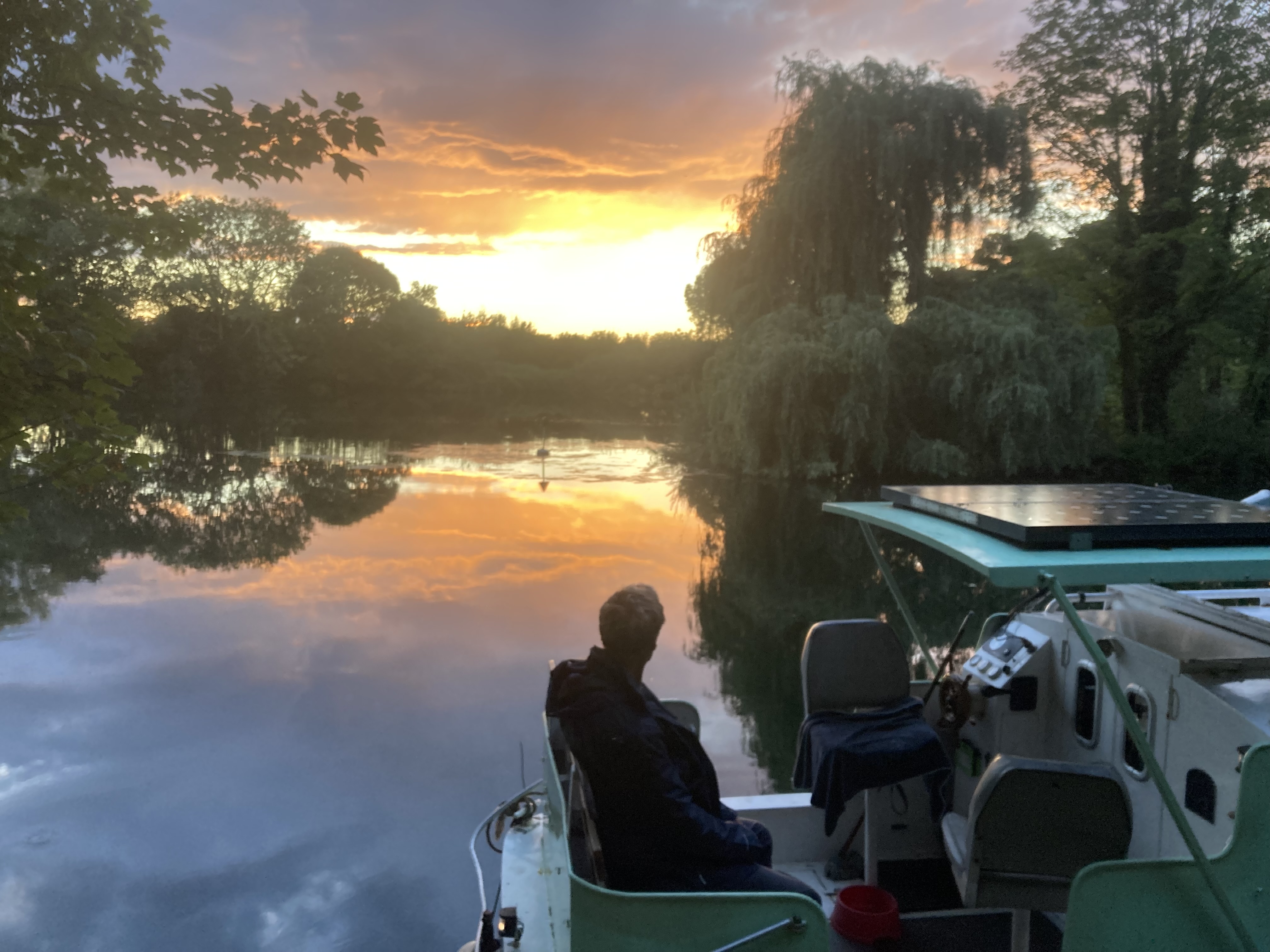
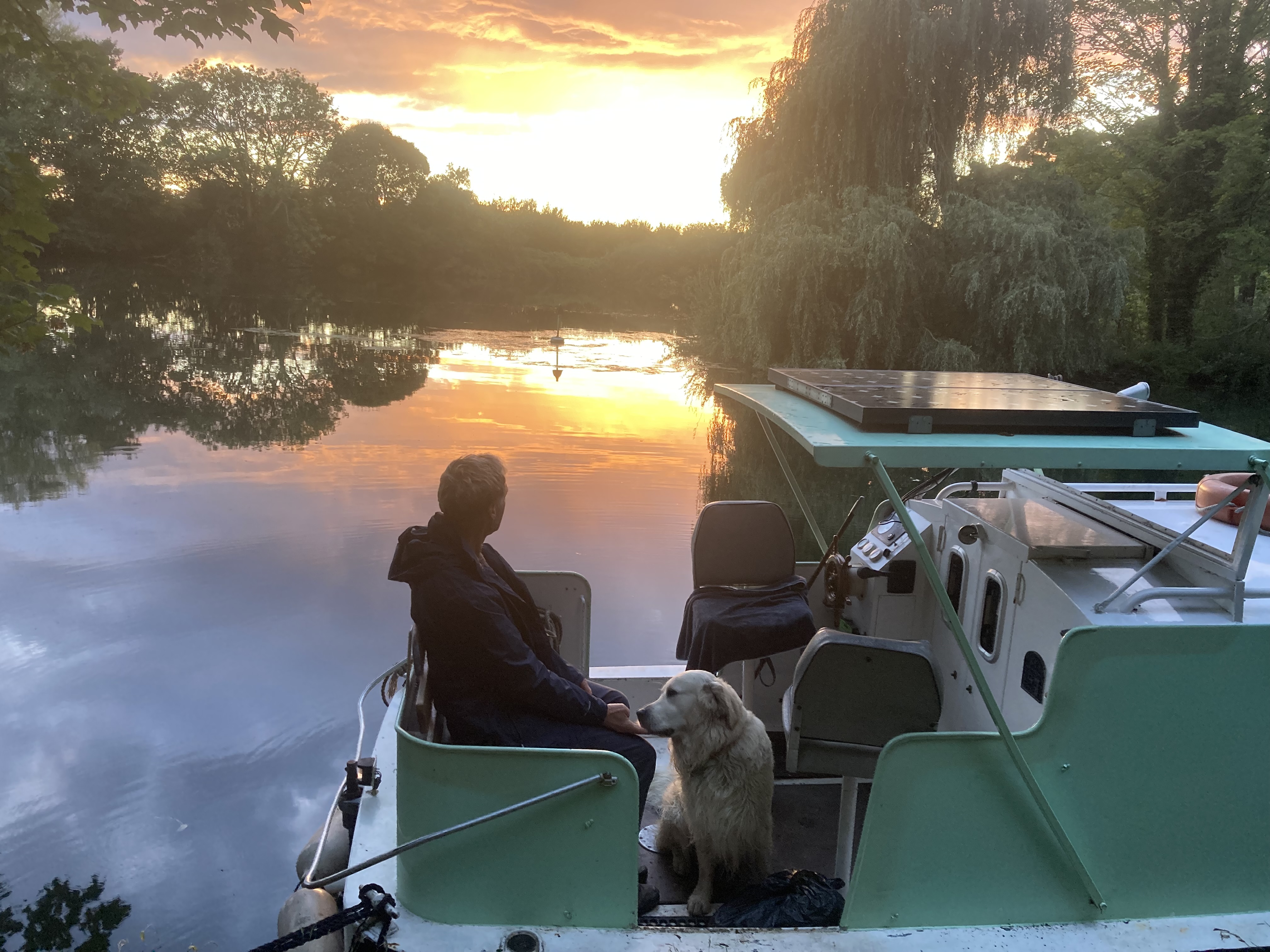
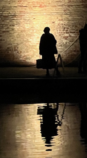
Photo 24: A Man at Peace with Himself
rnrn

rnrn
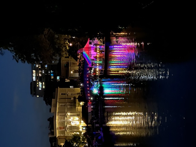
Photo 25: Illuminations
rnrn
rnrn
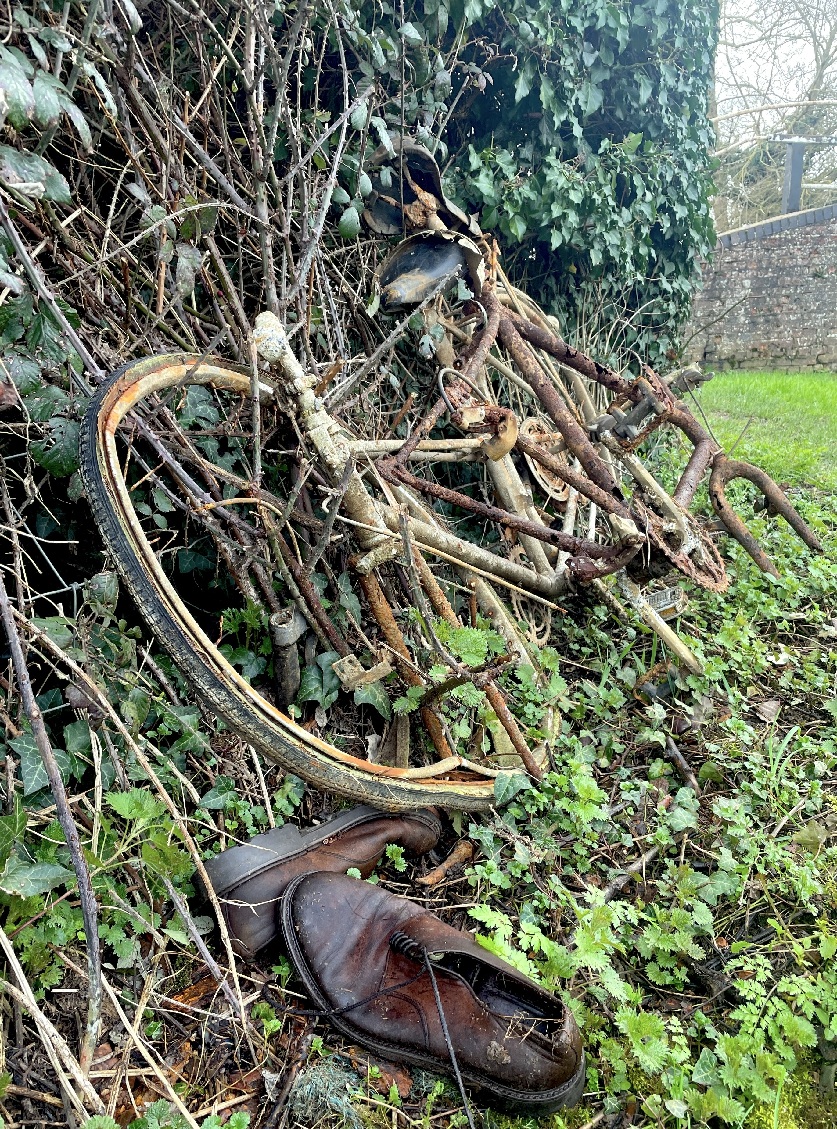
Photo 26: Only the shoes know why
rnrn
rnrn
Photo 27: untitled
rnrn
rnrn
Photo 28: untitled
rnrn
rnrn
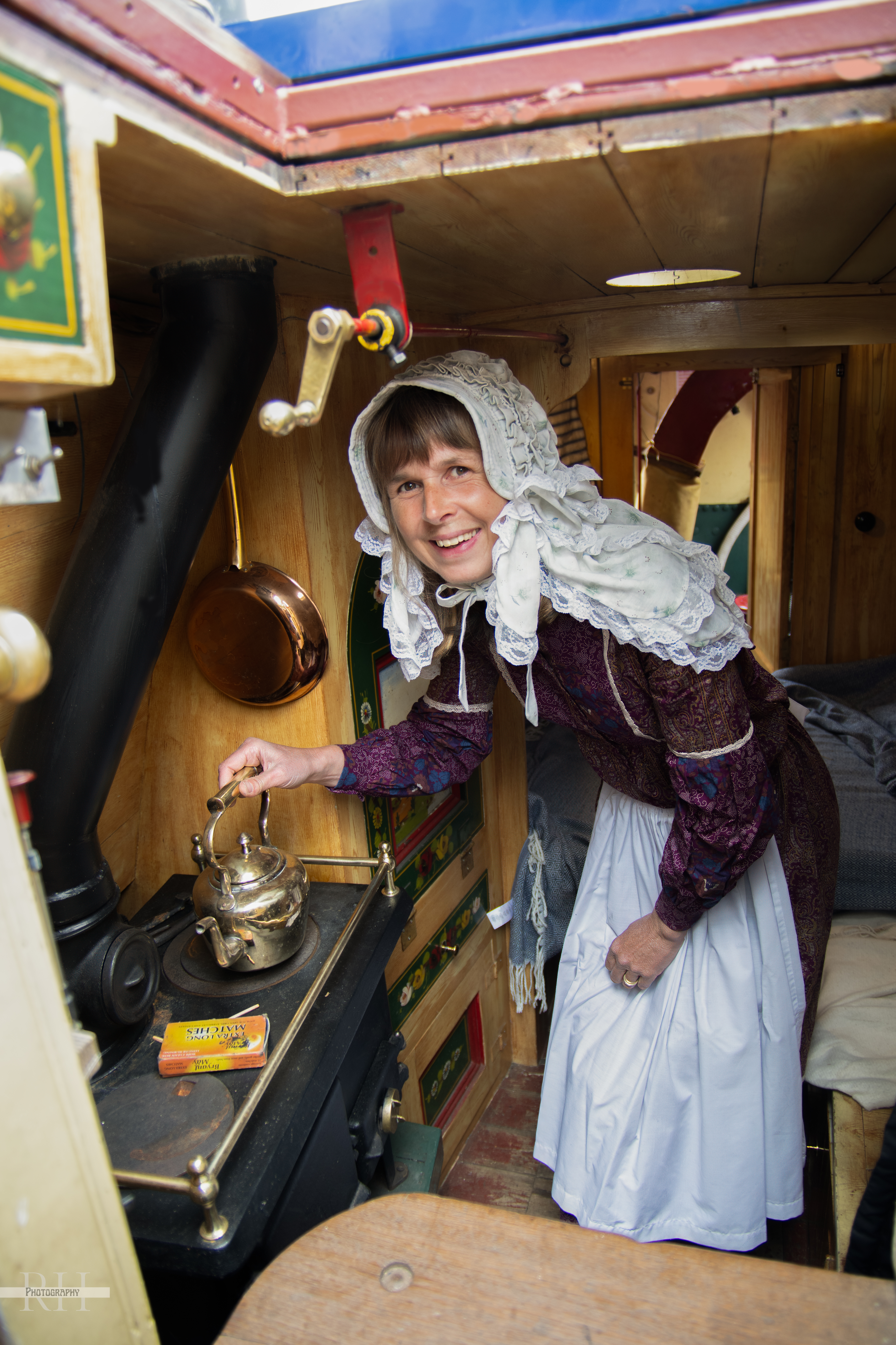
Photo 29: Fiona Burt in Tarporley kitchen
rnrn
rnrn
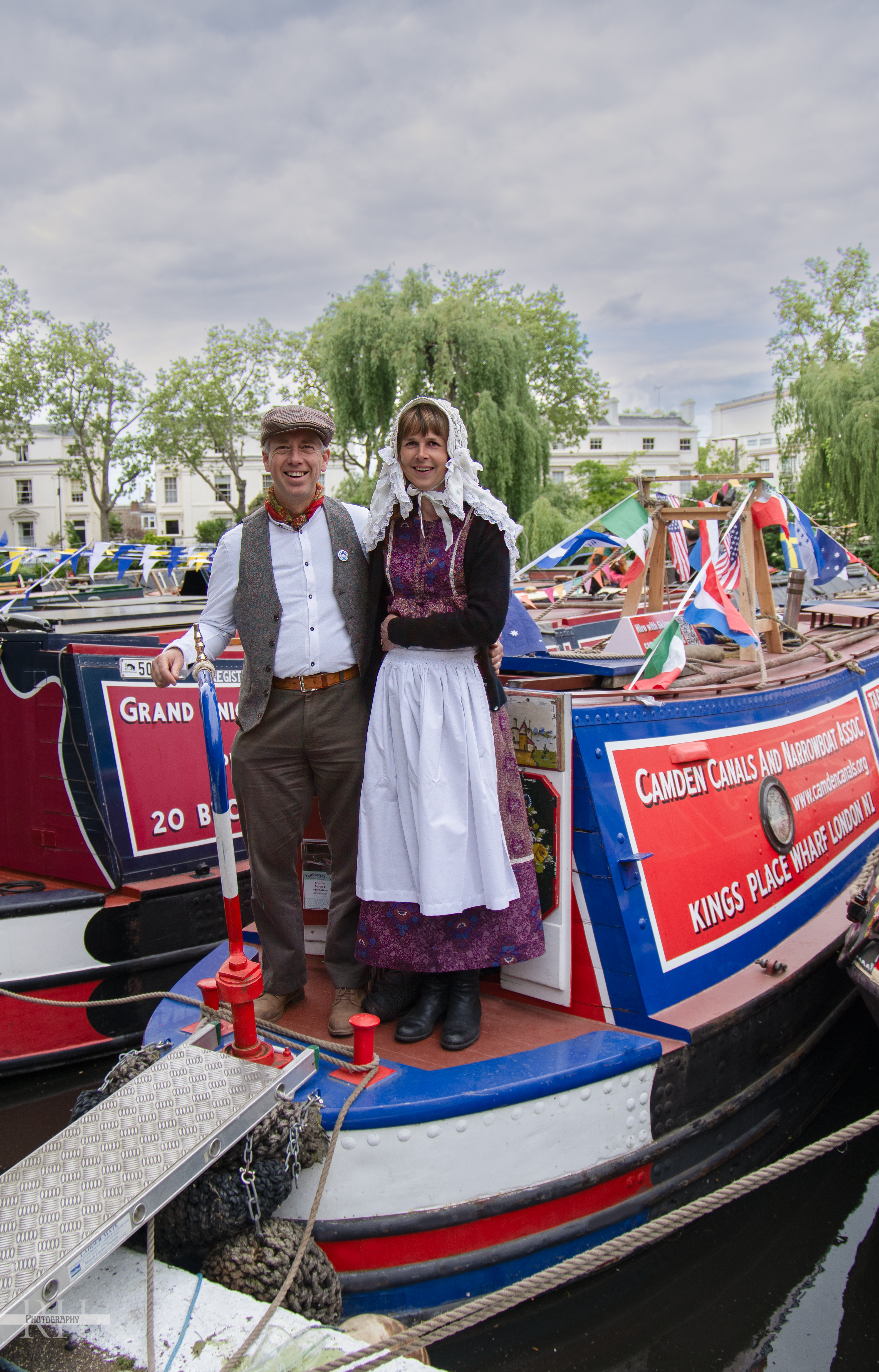
Photo 30: Steve and Fiona Burt on Tarporley
rnrn
rnrn
Photo 31: Lush
rnrn
rnrn
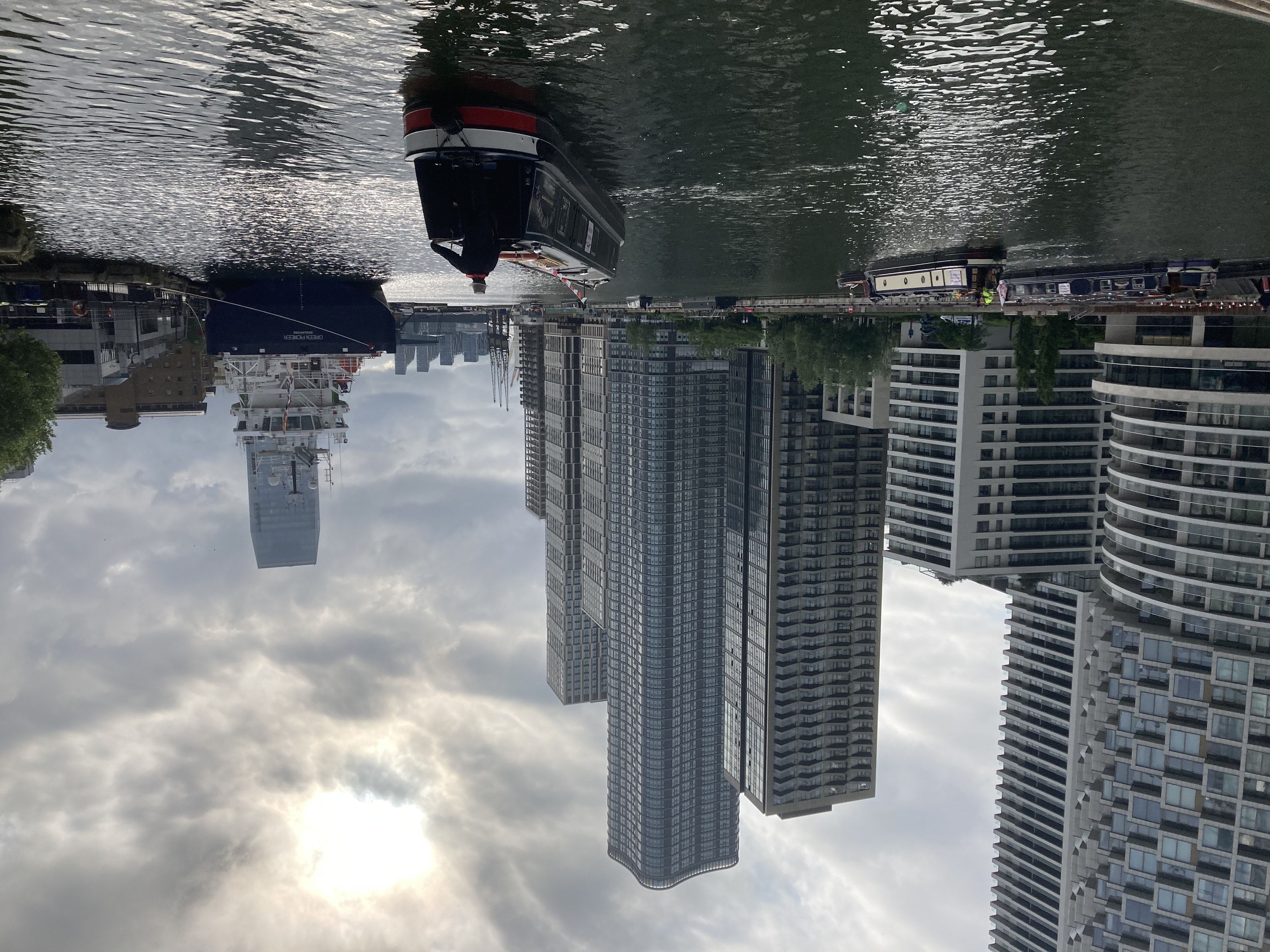
Photo 32: Departing West India
rnrn
rnrn
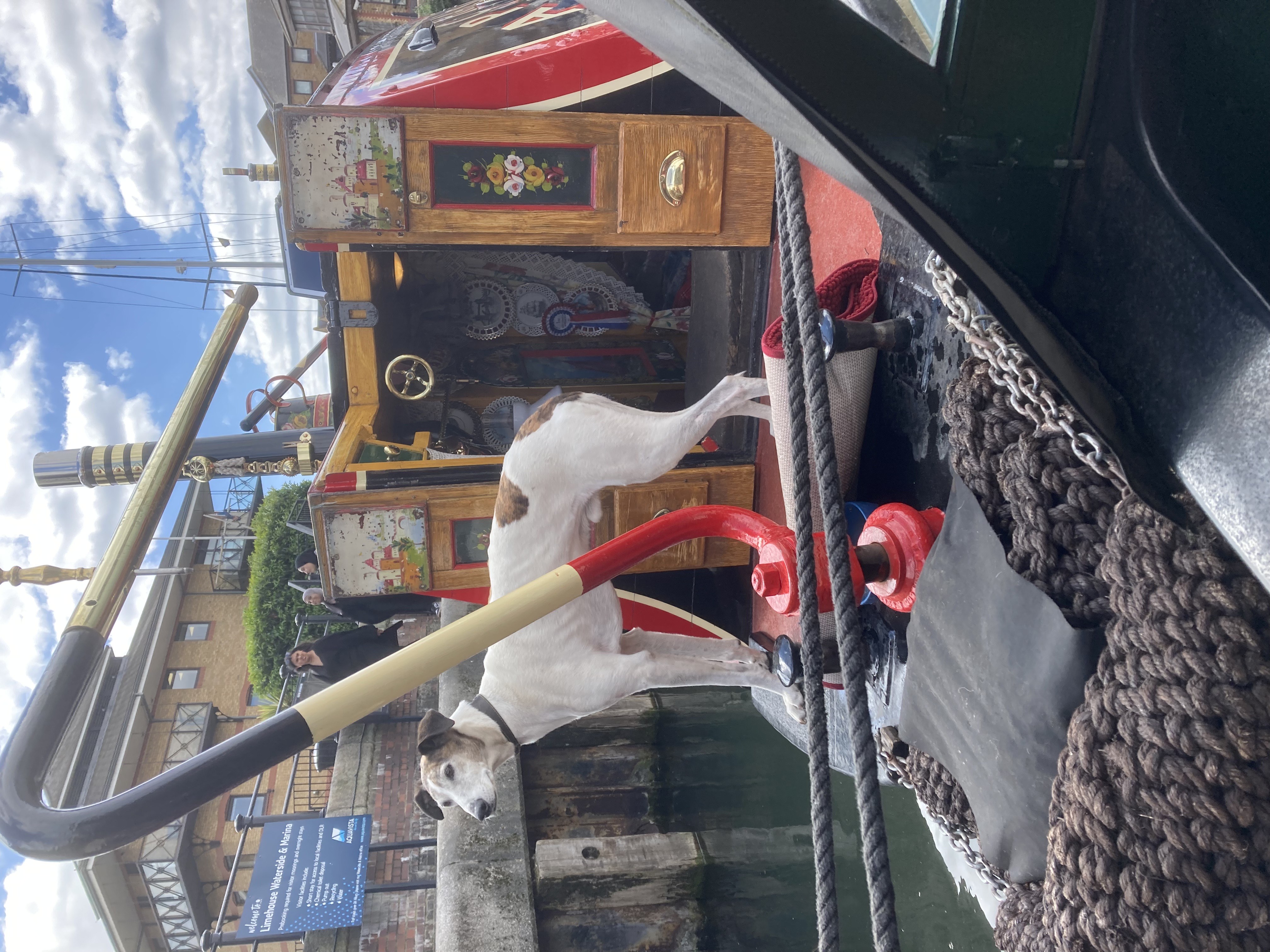
Photo 33: Jules Fuels Hound
rnrn
rnrn
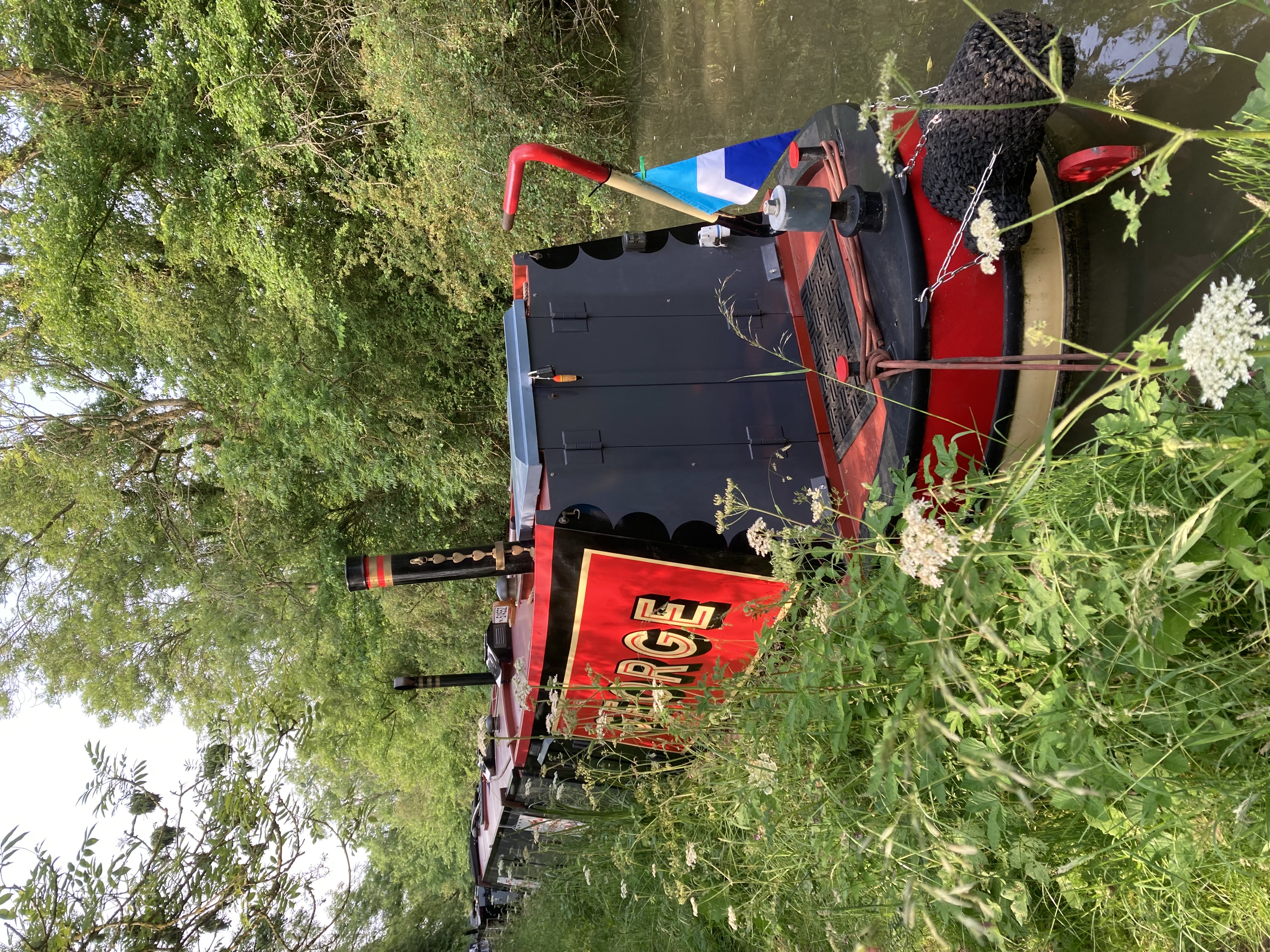
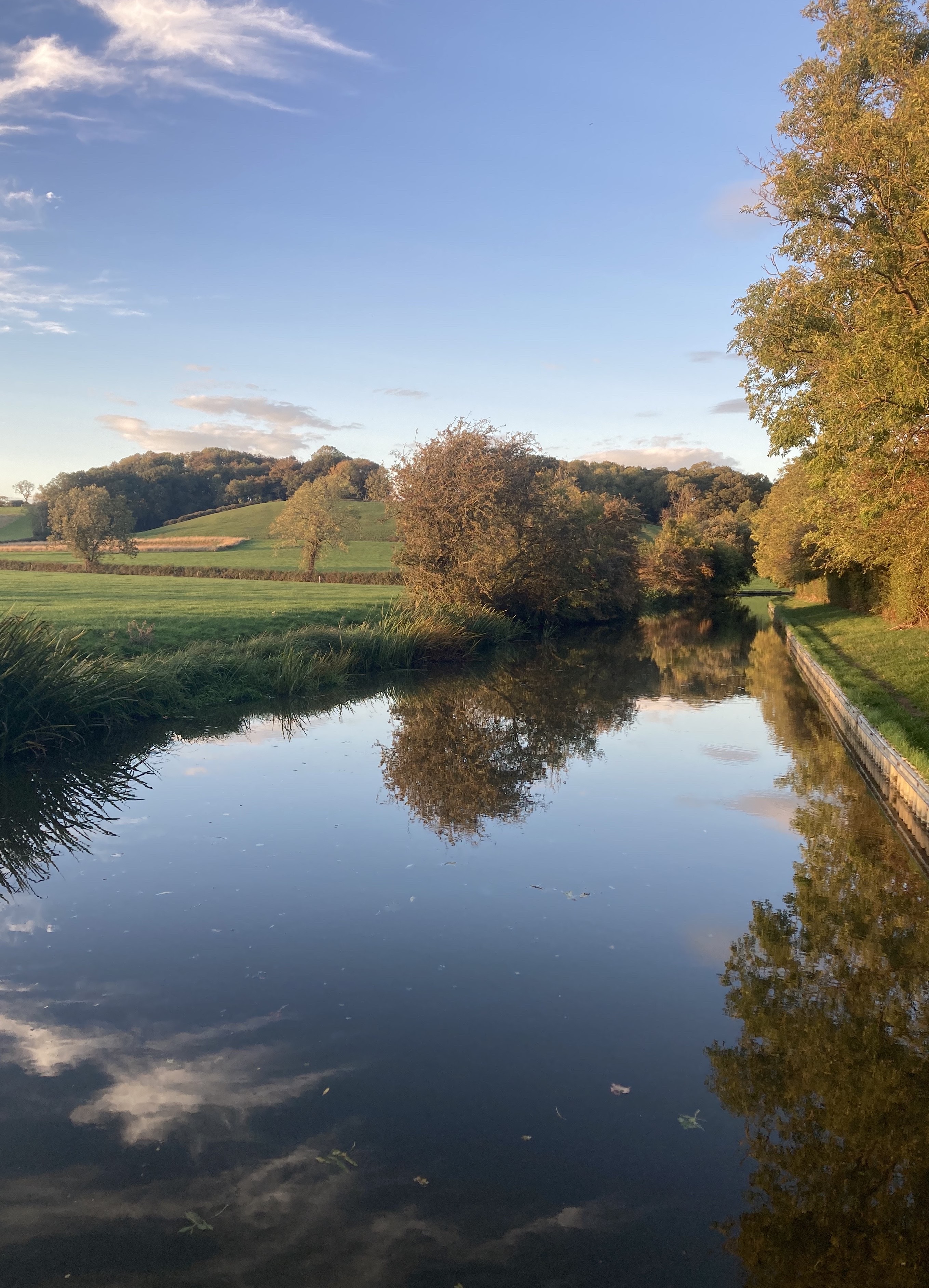
Photo 34: Loughton Hills
rnrn
rnrn
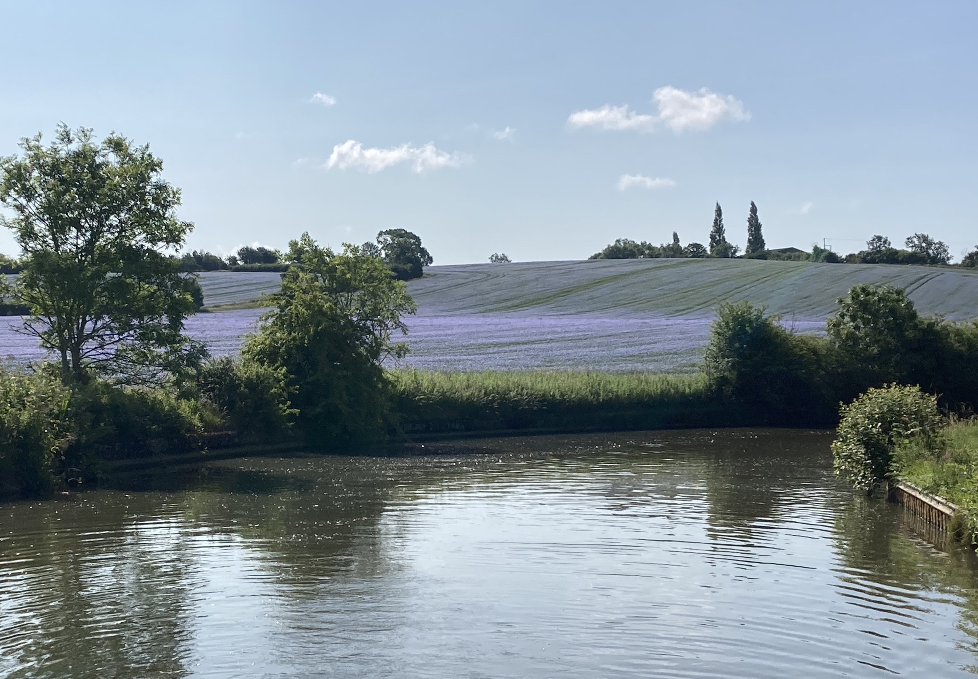
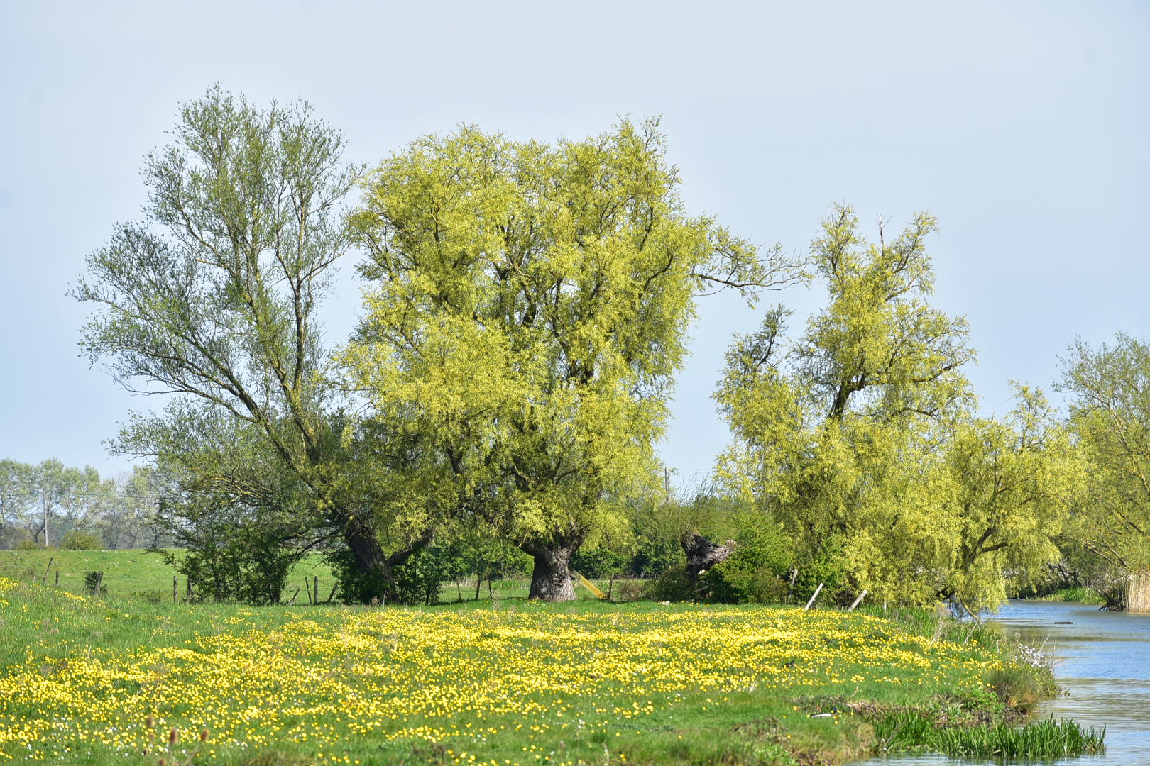
Photo 35: Linseed Flower Field
rnrn
rnrn
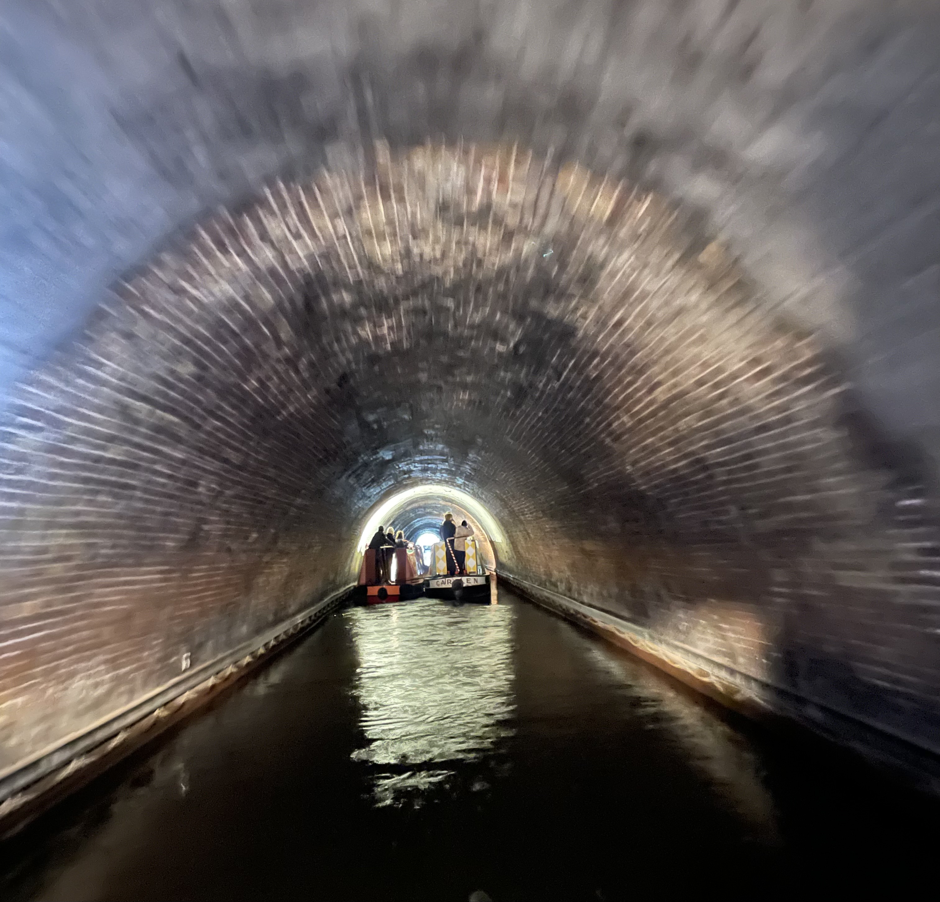
Photo 36: Towing in a tunnel
rnrn
rnrn
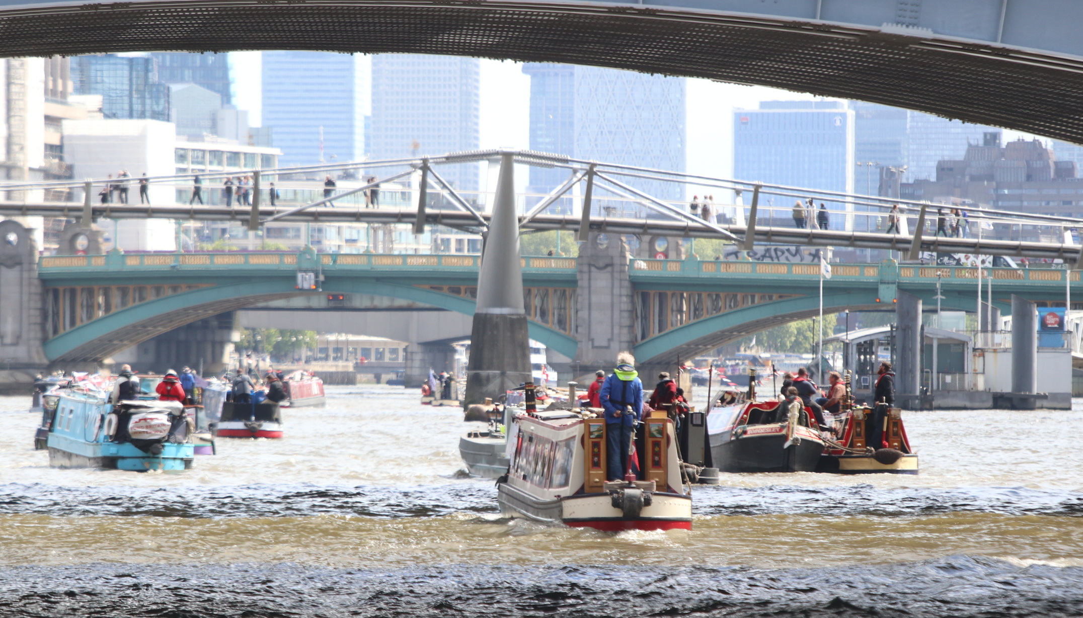
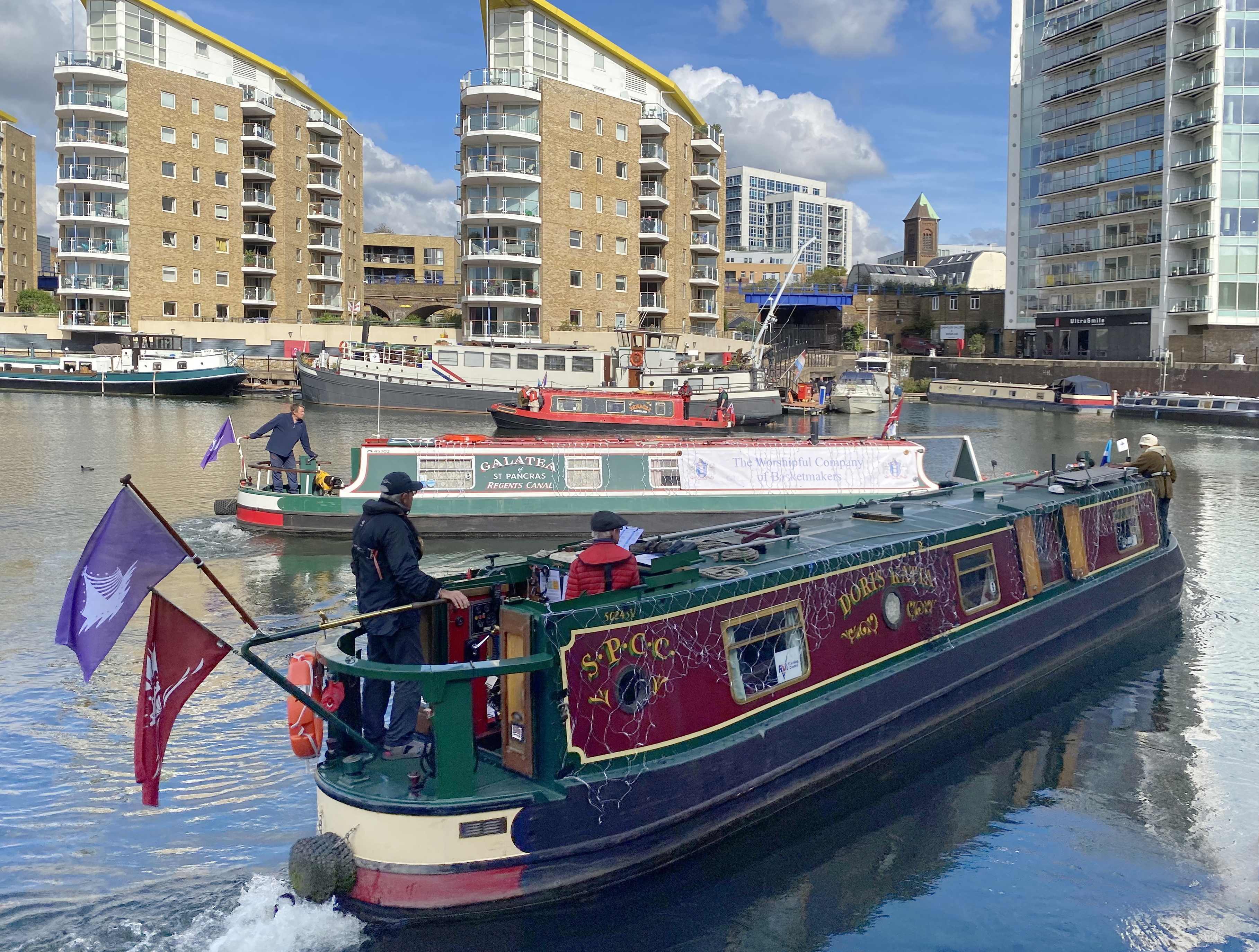
Photo 37: Fund Britain’s Waterways: Doris Katia approaching Blackfriars Bridge
rnrn
rnrn
Photo 38: Limehouse Basin gathering for Fund British Waterways Cruise
rnrn
rnrn
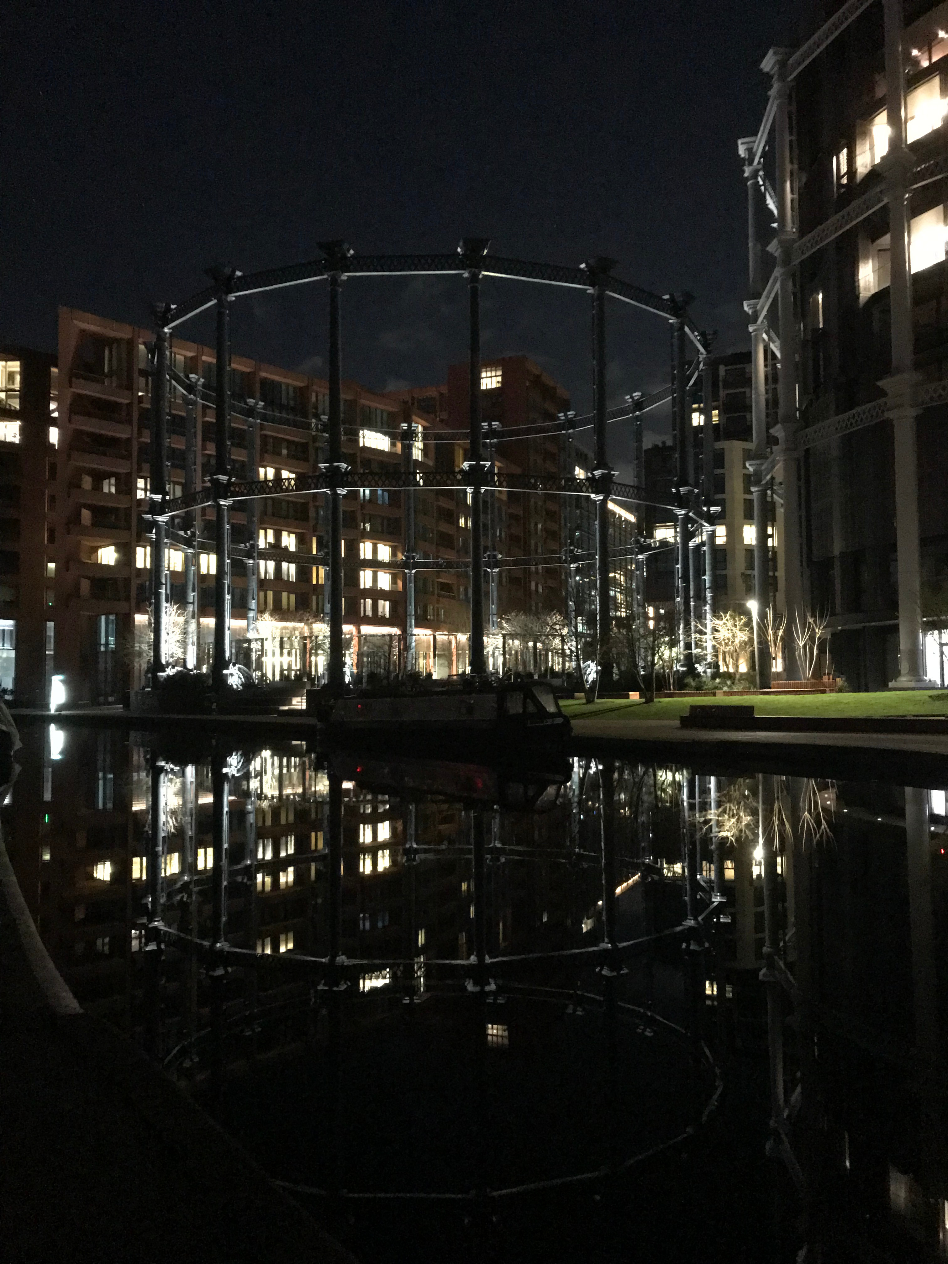
Photo 39: Egyptian Geese perched on Gasholder Park opposite SPCC
rnrn
rnrn
Photo 40: Junior Family Member helping at Camden Locks
rnrn
rnrn
Photo 41: Hatton Locks and St Mary’s Warwick in distance
rnrn
rnrn
Photo 42: A green entry to Birmingham
rnrn
rnrn
Photo 43: Dawn exit from Sharpness Docks
rnrn
rnrn
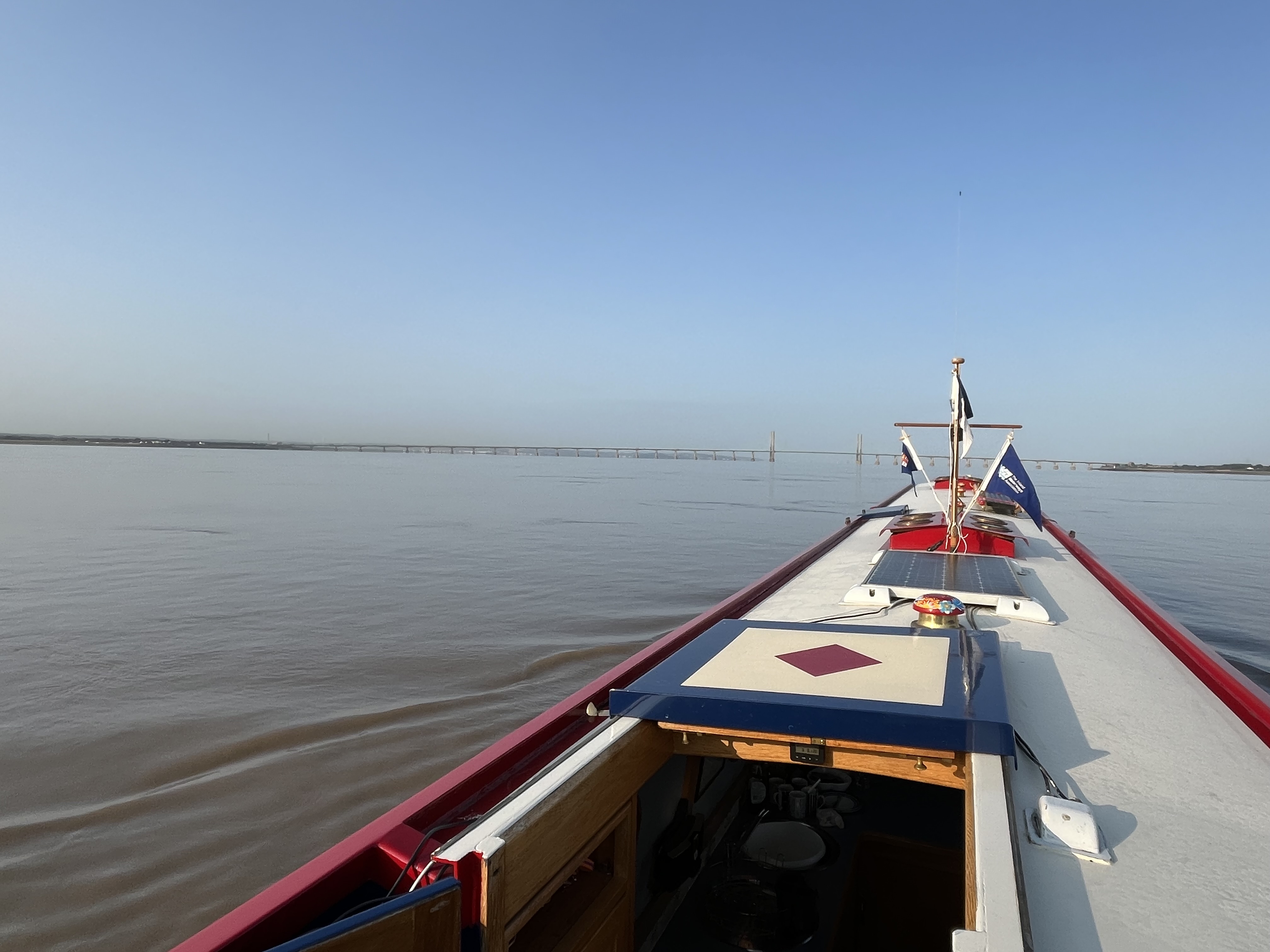
Photo 44: Calm waters in the Bristol Channel
rnrn
rnrn
Photo 45: Horse boat passing at Kintbury on the Kennett & Avon
rnrn
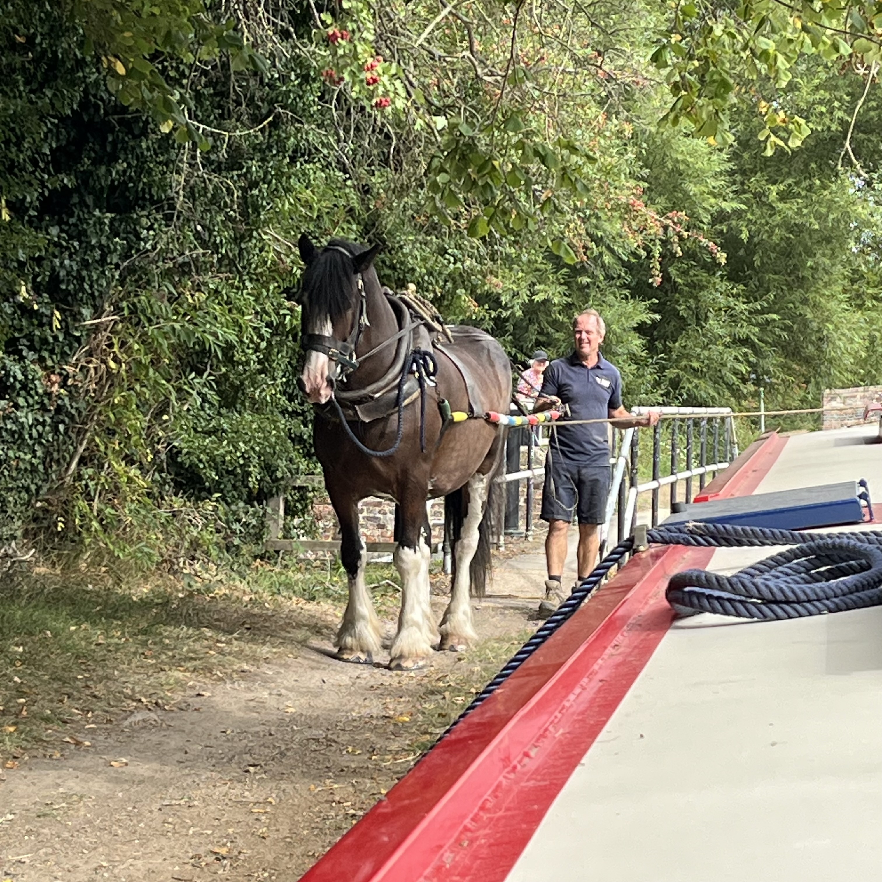
rnrn
Photo 46: Do you think they heard us!
rnrn
rnrn
Photo 47: Heavy Traffic In Westminster
rnrn
rnrn
Photo 48: Lost In Stoke Bruerne!
rnrn
rnrn
Photo 49: The sune is over the yardarm someshere!
rnrn
rnrn
Photo 50: Which way up!
rnrn
rnrn
Photo 51: Don’t forget the handbrake
rnrn
rnrn
Photo 52: Foxton lock gates
rnrn
rnrn
rnrn
rnrn
rn
-
Bar Open Dates
Opening hours of 8 – 11pm on Wednesdays and midday – 2pm on Sundays.
rnrn
rnrn
rnrn
rnrn
rn
-
Panchat Archive
The following is the archive of the club newsletters and the magazine ‘Panchat’ published between 1983 and 2015.
rnrn
SPCC Newsletter 5th January 1982
rnrn
SPCC Newsletter 25th June 1983
rnrn
Panchat Volume 1 No. 1 Winter 1986 (Probably should read 1985)
rnrn
Panchat Volume 1 No. 2 Spring 1986
rnrn
Panchat Volume 1 No. 3 Summer 1986
rnrn
Panchat Volume 1 No. 4 Winter 1987
rnrn
rnrn
rnrn
rnrn
rnrn
rnrn
rnrn
rnrn
Panchat April May 1991 PAGES MISSING
rnrn
rnrn
rnrn
rnrn
rnrn
rnrn
Lea And Stort Cruise Brochure April 1994
rnrn
rnrn
rnrn
Panchat Special London Cruising Edition 1994
rnrn
rnrn
rnrn
rnrn
rnrn
rnrn
rnrn
Easter Cruise Brochure April 1996
rnrn
rnrn
Treasure Island Rally Brochure 22nd 23rd June 1996
rnrn
rnrn
rnrn
rnrn
rnrn
rnrn
rnrn
rnrn
rnrn
rnrn
rnrn
rnrn
rnrn
rnrn
rnrn
rnrn
rnrn
rnrn
rnrn
rnrn
rnrn
rnrn
rnrn
rnrn
rnrn
rnrn
rnrn
Panchat Year Book September 2005
rnrn
rnrn
rnrn
rnrn
rnrn
rnrn
rn
-
Services
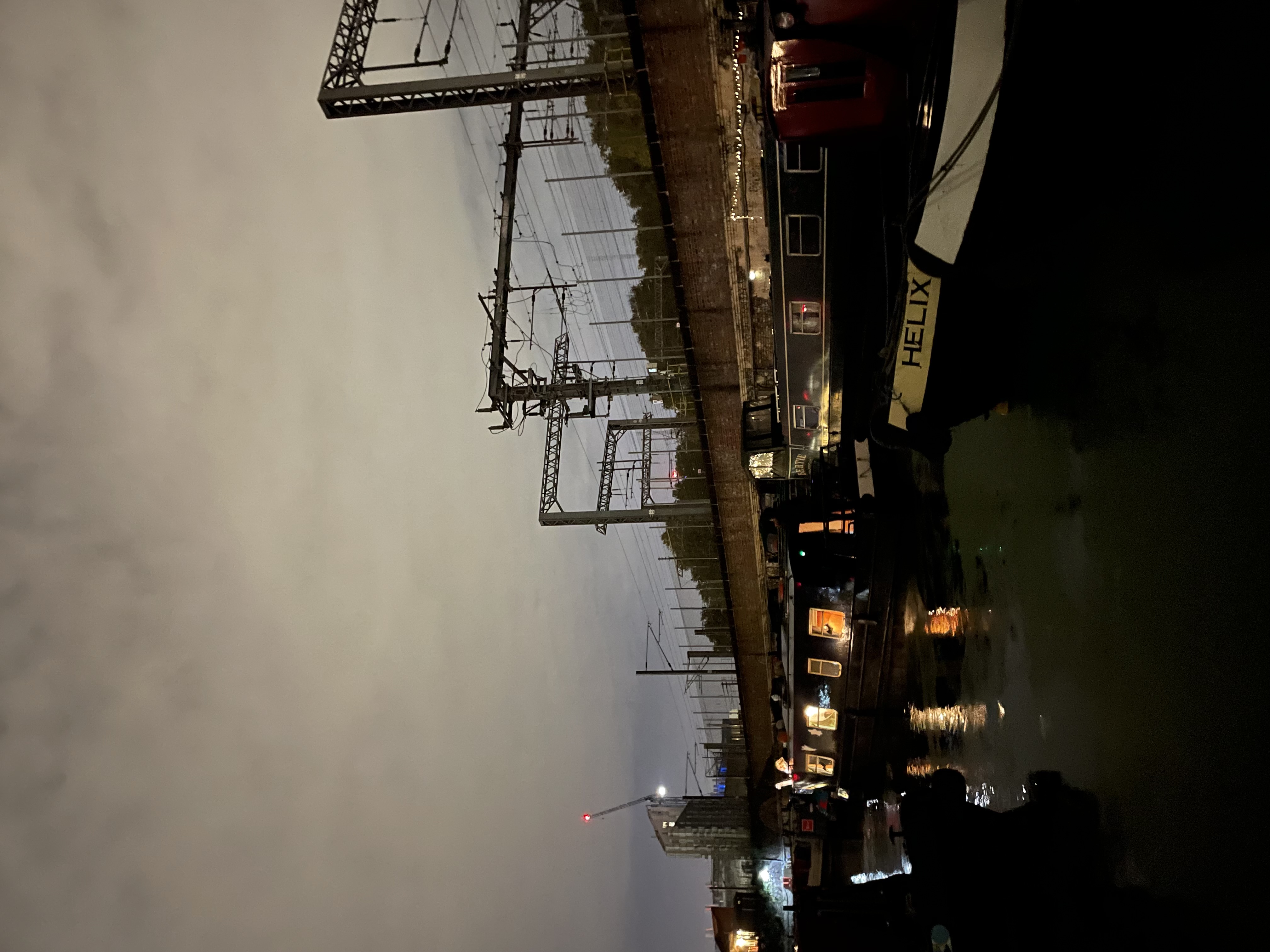
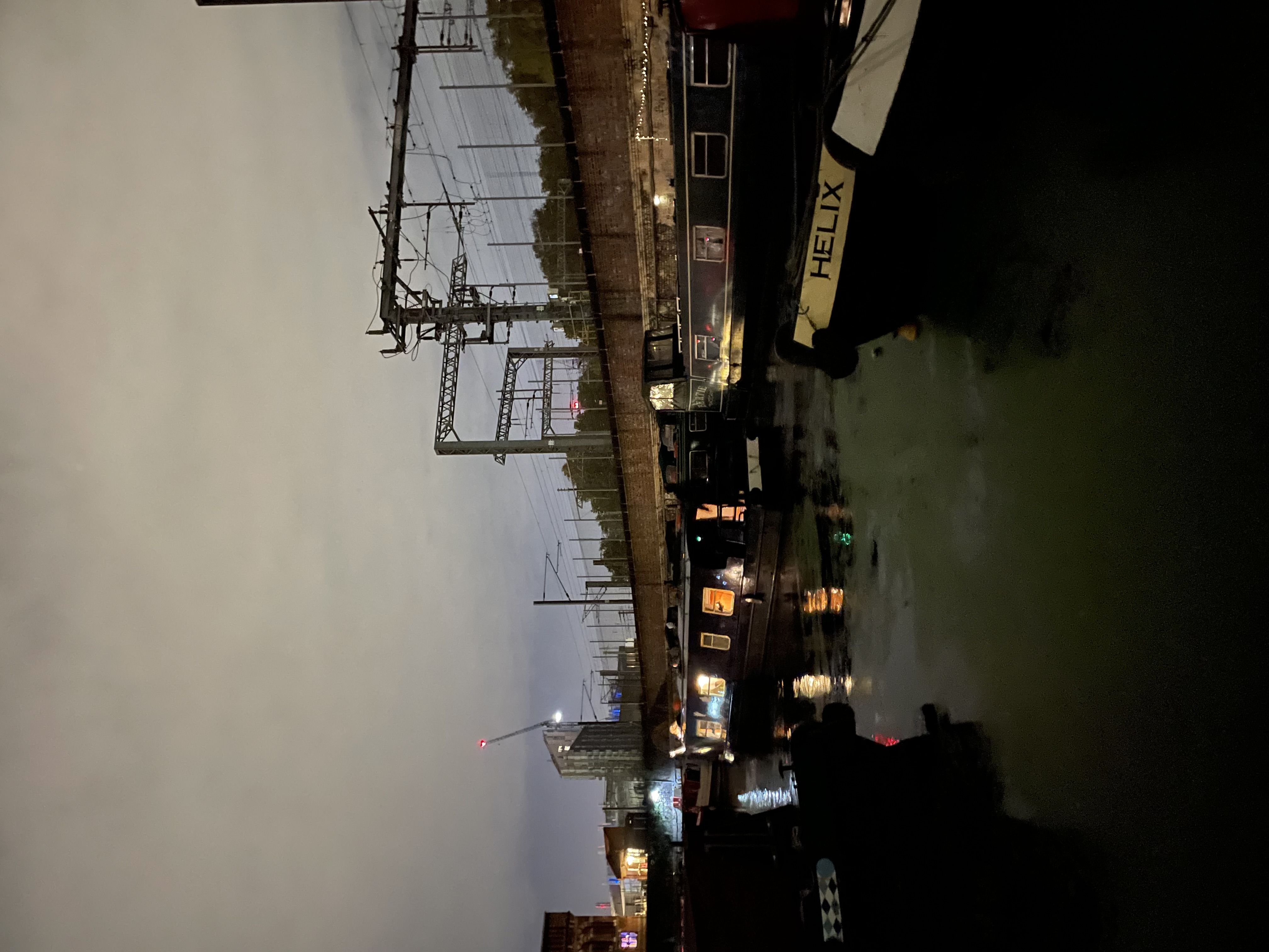
Fresh water and portable toilet (Elsan) disposal are available from the service mooring just above St Pancras lock on the other side from the tow path. The disposal point is on the corner of the long white building, behind the fuel tank, and the water tap is close by. There is no charge to use either service.
rnrn
Please do not dispose of wet wipes, moist toilet tissues or similar items in the portable toilet disposal point.
rnrn
There are bins for recycling and boaters’ domestic waste in the car park adjacent to the lock. There are no facilities for disposal of fit out waste, waste oil, contaminated bilge water, batteries, gas cylinders or other large items. Please do not leave any of these in the car park.
rnrn
St Pancras Dry Dock is run as a separate business and St Pancras Cruising Club is not responsible for the work carried out in the dry dock. For dry dock services please contact the Dry Dock operator using the contact page, selecting the category “Dry dock”.
rnrn
Diesel fuel and Pump-Out services will be available at the Club between 10:30am and 3:30pm on the following days in 2025
rnrn
rnrn

rnrn
rnrn
Saturday 4th April 2026
rnrn
Saturday 9th May 2026
rnrn
Saturday 13th June 2026
rnrn
Saturday 4th July 2026
rnrn
Saturday 1st August 2026
rnrn
Saturday 5th September 2026
rnrn
Saturday 3rd October 2026
rnrn
Saturday 14th November 2026
rnrn
Saturday 5th December 2026
rnrn
rnrn
Only card payments are accepted.
rnrn
Cost of pumpouts is £30
rnrn
Appointments are not required and will not be taken.
rnrn
There are other pump-outs in London including Paddington Arm: Little Venice Visitor Mooring and Atlip Road, Alperton (offside service mooring at Bridge 11A Railway) Regent’s Canal: Talavera Moorings, offside above Acton’s Lock (Lock 7) and Limehouse Basin Lee Navigation: East Wick Service Mooring (below Bridge 14A Newham Way) and Stonebridge Lock (Lock 16)
rn
-
Collinson photographic competition 2022 – entries
To view an entry please click on the thumbnail, which will open the photograph in a new window.
rnAll photographs are the copyright of their respective owners. Please do not download or copy any photograph without the owner’s permission.rnrn
rnEntry 1 – Autumn on the River Cam, near Waterbeach
rnrn
rnrn
Entry 2 – Back in the Fens
rnrn
rnrn
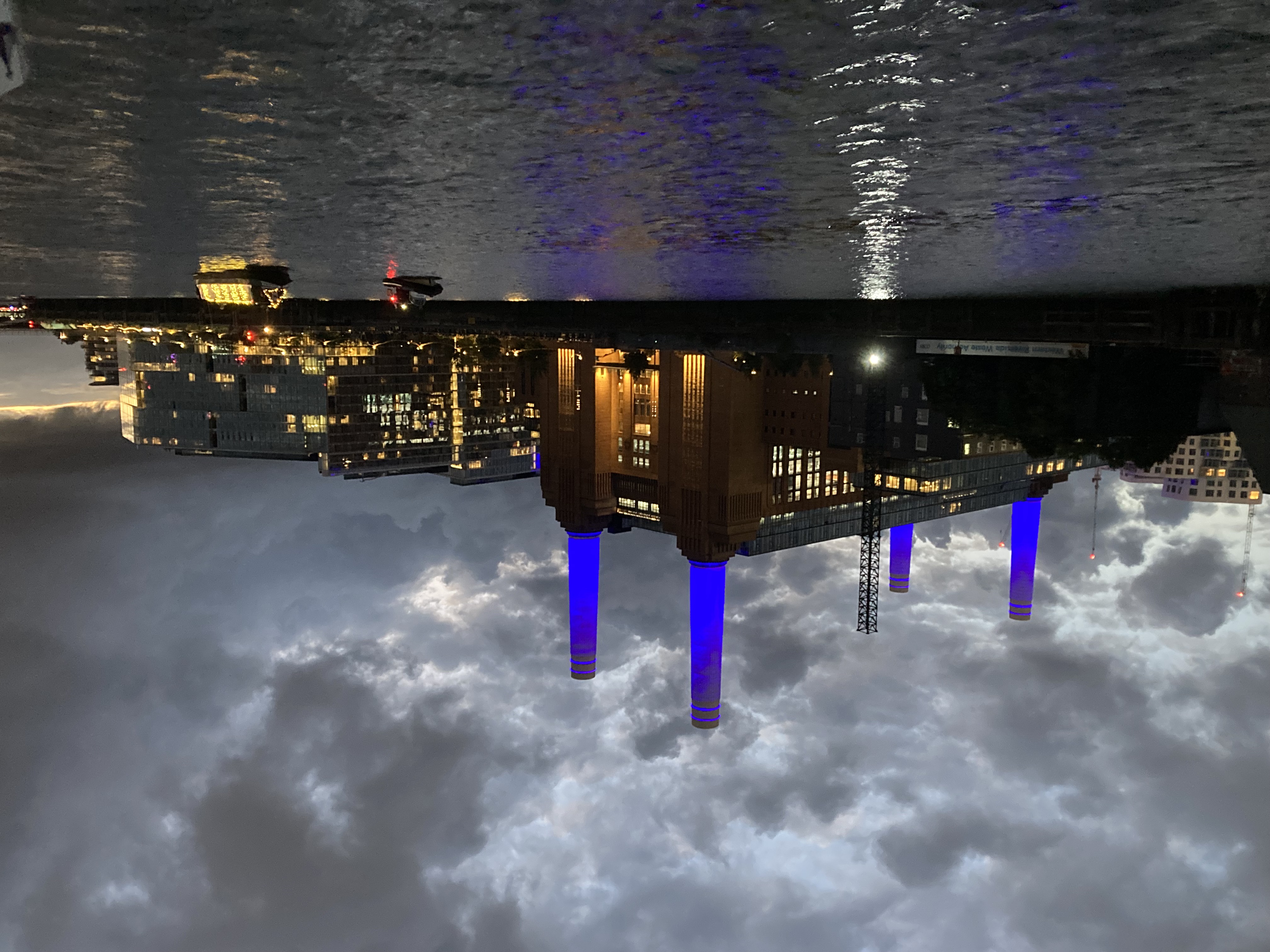
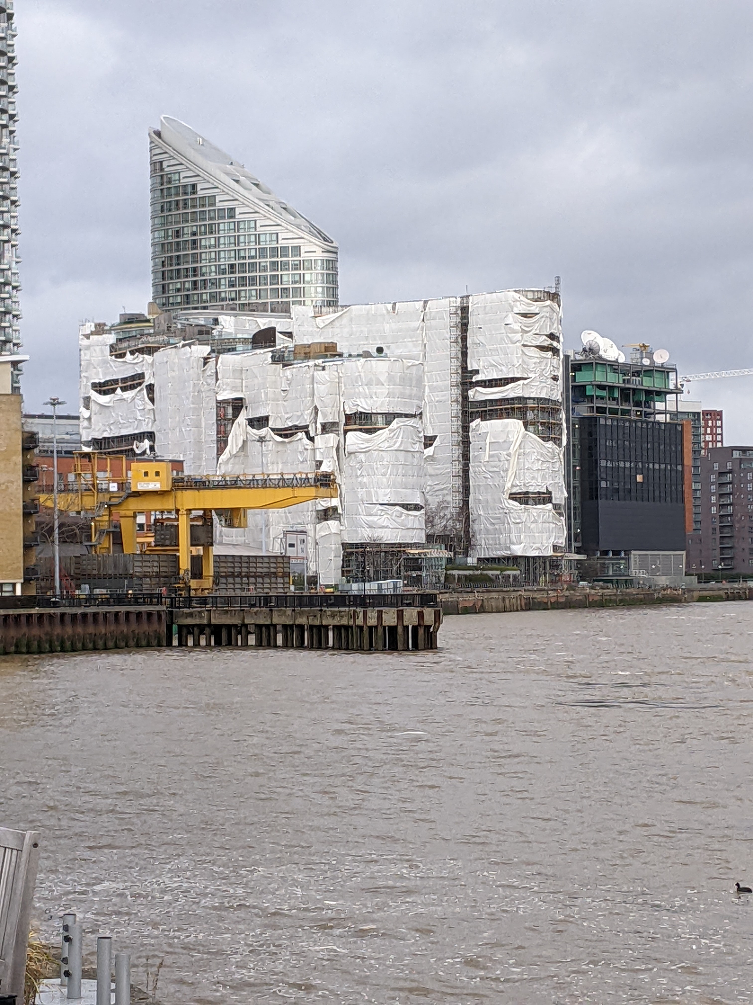
Entry 3 – Battersea Power Station
rnrn
rnrn
Entry 4 – Double Breasted
rnrn
rnrn
Entry 5 – Early morning at Woodford, River Nene
rnrn
rnrn
Entry 6 – Easter cruise
rnrn
rnrn
Entry 7 – Fenders should be deployed on both sides of the boat. Frances and Andrew Phasey’s boat, Halle, Belgium
rnrn
rnrn
Entry 8 – Fotheringay, River Nene. Flags at half mast in honour of HM the Queen
rnrn
rnrn
Entry 9 – Going Down – Foxton flight
rnrn
rnrn
Entry 10 – Golden Bridge
rnrn
rnrn
Entry 11 – Heading to Queens Platinim Reflection Illuminated Procession 24th September 2022
rnrn
rnrn
Entry 12 – Icons of London – upstream preparation for Platinum Jubilee flotilla
rnrn
rnrn
Entry 13 – Into the Night – Angel Festival barbecue
rnrn
rnrn
Entry 14 – Little and Large
rnrn
rnrn
Entry 15 – Lock Down
rnrn
rnrn
Entry 16 – Manjit in her St Tropez pose (not to be confused with the Woolwich Ferry) on the way to Gravesend
rnrn
%20on%20the%20way%20to%20Gravesend.jpg)
rnrn
Entry 17 – Masa and Rhiana joined Albert Victor for a picnic lunch Easter 2022 just below Norwood bottom lock
rnrn
rnrn
Entry 18 – Ollie Brown dancing on the gunwhales, excited by the prospects of the Reflections Flotilla
rnrn
rnrn
Entry 19 – On tow Great Ouse
rnrn
rnrn
Entry 20 – Planning the Caribbean Cruise when Storm Eunice stuck
rnrn
rnrn
Entry 21 – Return to the basin #1
rnrn
rnrn
Entry 22 – Return to the basin #2
rnrn
rnrn
Entry 23 – Return to the basin #3
rnrn
rnrn
Entry 24 – Return to the basin #4
rnrn
rnrn
Entry 25 – River Ahead – flood gate between Selby Canal and R Aire
rnrn
rnrn
Entry 26 – SPCC Carribean Cruise Limehouse To West India Dock 14th March 2022
rnrn
rnrn
Entry 27 – SPCC Daffodil Cruise Hertford Union Canal 19th April 2012
rnrn
rnrn
Entry 28 – SPCC Daffodil Cruise Mile End Lunch Stop 12th March 2022
rnrn
rnrn
Entry 29 – SPCC Trip Limehouse To Gravesend 3rd June 2022
rnrn
rnrn
Entry 30 – Staking our Claim – SPCC flag at Harwich ahead of the Waverley Cruise
rnrn
rnrn
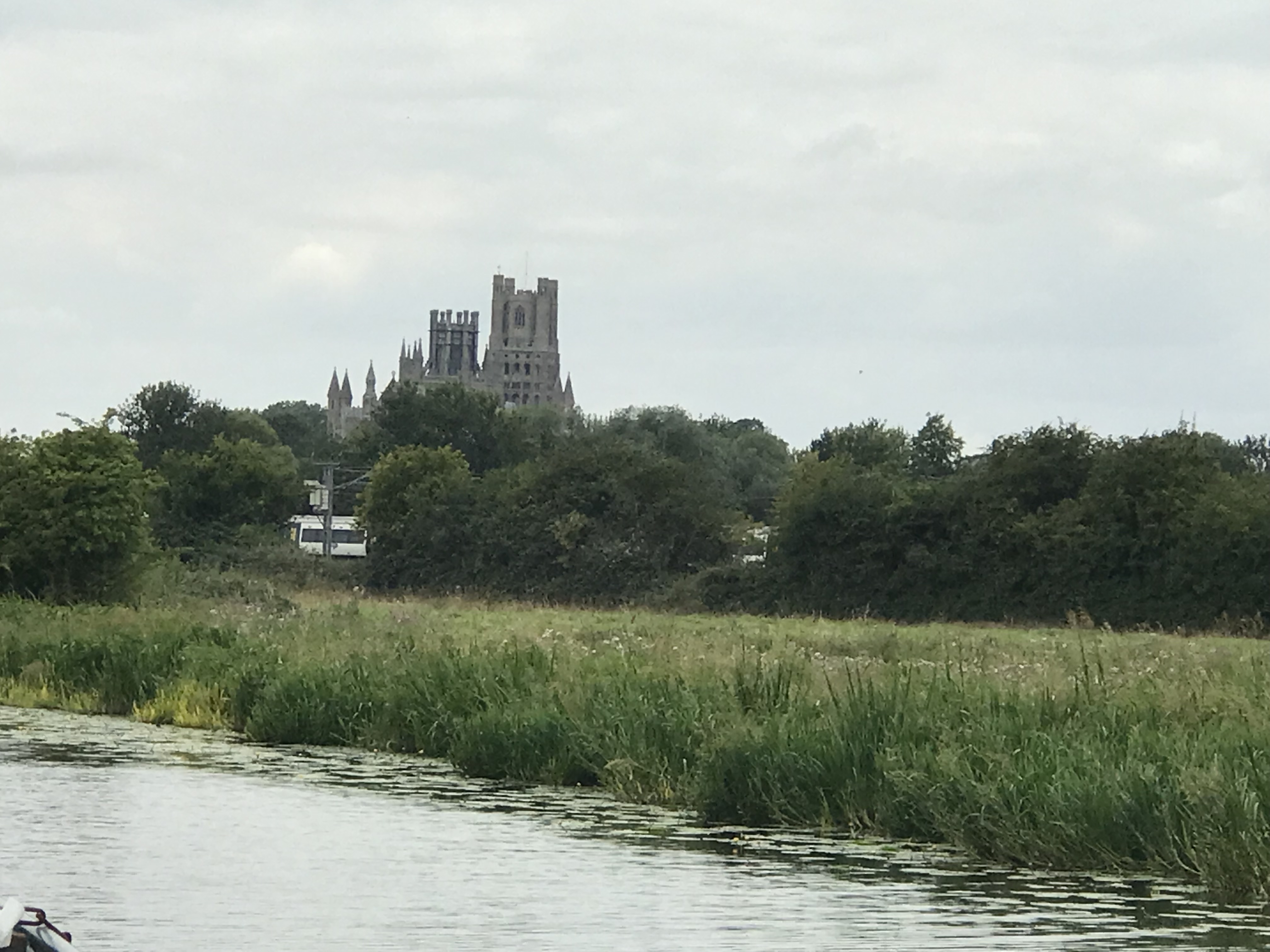
Entry 31 – Sunset over Ely Cathedral July 2022
rnrn
rnrn
Entry 32 – The Fleet awaiting the signal to go for the Reflections Flotilla Sep 2022
rnrn
rnrn
Entry 33 – The joy of boating
rnrn
rnrn
Entry 34 – Waiting for the off
rnrn
rnrn
Entry 35 – Wild flowers on The Old West River
rnrn
rnrn
rn
-
Home
About The Club
rnrn
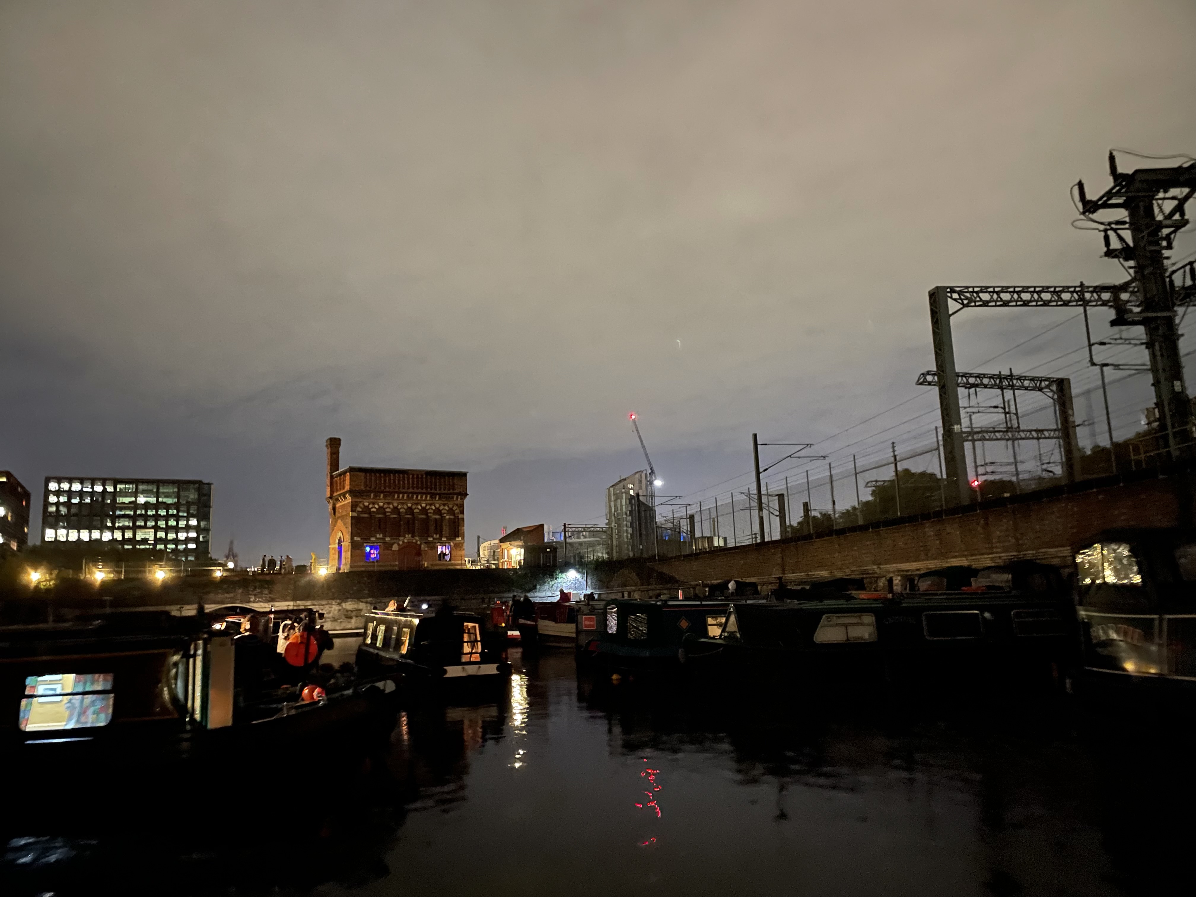
St Pancras Cruising Club is a members’ club based in Camden that exists to promote pleasure cruising on UK inland waterways and to provide facilities for its members and others. Many club members own boats but the Club also welcomes anyone who is interested in boating and inland waterways.
rnrn
Our members are active in promoting the interests of boaters through national and local waterways organisations such as the Canal & River Trust (CRT), the Inland Waterways Association (IWA), the Association of Waterways Cruising Clubs (AWCC) and others.
rnrn
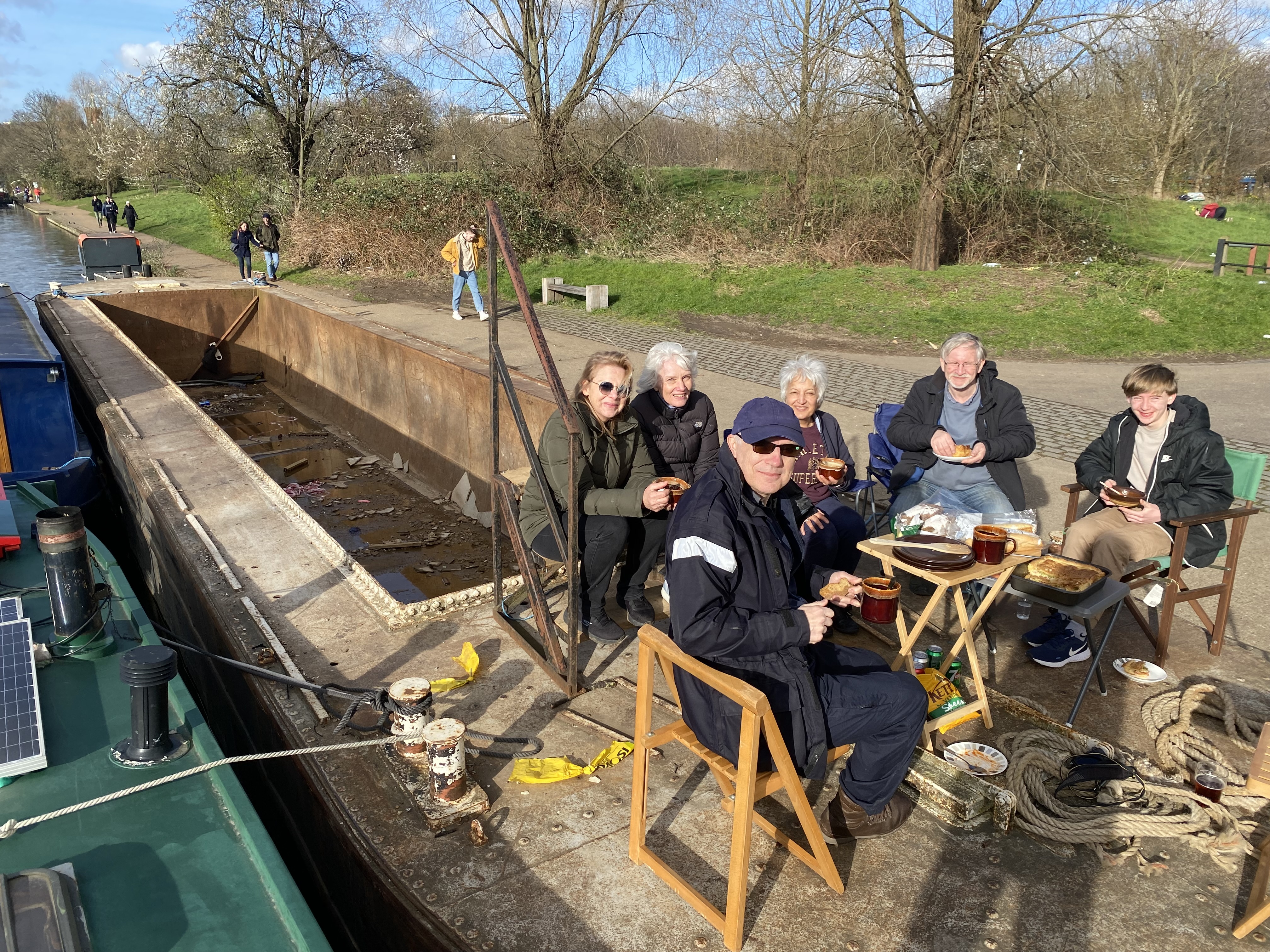
The Club is based at St Pancras Yacht Basin, which is located beside the Regent’s Canal and close to St Pancras International and Kings Cross Stations. The gardens, waterpoint and basin are maintained by members working on a voluntary basis, as are the facilities for passing boaters – pump out, fuel supply and portable toilet disposal. Monthly work parties are the focus for undertaking all of this work and also form a focus for social exchange when we sit to eat lunch together.
rnrn
The Club provides non-residential moorings for around 60 boats in the basin.
rnrn
For more information on joining the Club click the ““How to join” tab above.
rnrn
Cruising The Club is well known for its promotion of safe boating on the Thames tideway. As well as publishing a guide to the Tideway, Club cruises are regularly joined by other boaters, including experienced and inexperienced tideway cruisers. Comprehensive safety briefings precede each cruise, usually combined with a social evening. The Club also organises canal cruises, and non-tidal Thames cruises as a regular part of its cruising programme and welcomes members and non-members alike. For more information on the Club’s cruising programme please click the Cruising programme tab above. All boaters are welcome to join club cruises and events and there is no charge for participation.
rnrn
Temporary Moorings are sometimes available. If you would like to enquire about a temporary mooring please contact the Harbour Master using the contact page, selecting the category “Mooring enquiries”., stating your boat’s length and the dates that you require. The Club cannot accommodate wide beam boats. Permanent moorings are only available to Club members.
rnrn
The St Pancras Waterpoint is managed and maintained by the Club. Since taking over the management of the building, the Club has organised a number of public and specialist events including talks, art exhibitions and open days: 1000s of visitors have thus been able to enjoy this unique building and the stunning views from the viewing platform. For a list of open days please click of the St Pancras Waterpoint tab above. The Waterpoint is not available for hire.
rn
-
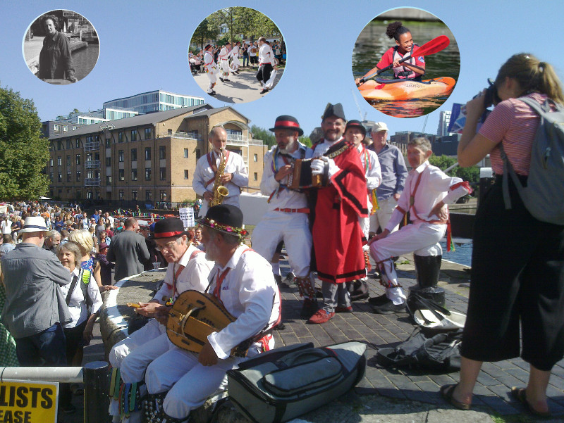
Angel Canal Festival 2023
rnrn
The Angel Canal Festival 2023 will take place on Sunday 3rd September around City Road Basin in Islington.
rnrn
City Road Basin can be accessed from City Road (near the Texaco garage), and from Noel Road, Vincent Terrace and Graham Street.
rnrn
The fun starts at 11am and the festival closes at 4pm. There’ll be music, food, boat trips and stalls. Come and join us!
rnrn
For more information please email angelfestival@stpancrascc.co.uk
rnrn
The Angel Canal Festival is organised by a small team of individuals and supported by the Canal and River Trust, Islington Council and St Pancras Cruising Club.
rn