Privacy Statement Introduction In accordance with our data protection policy, this privacy statement explains how we use your data, how you can control the way in which we use that data and what actions you can take if you would like to change the way in which your data is being used.
rnrn
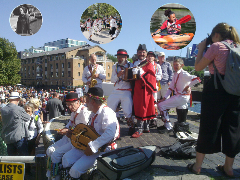
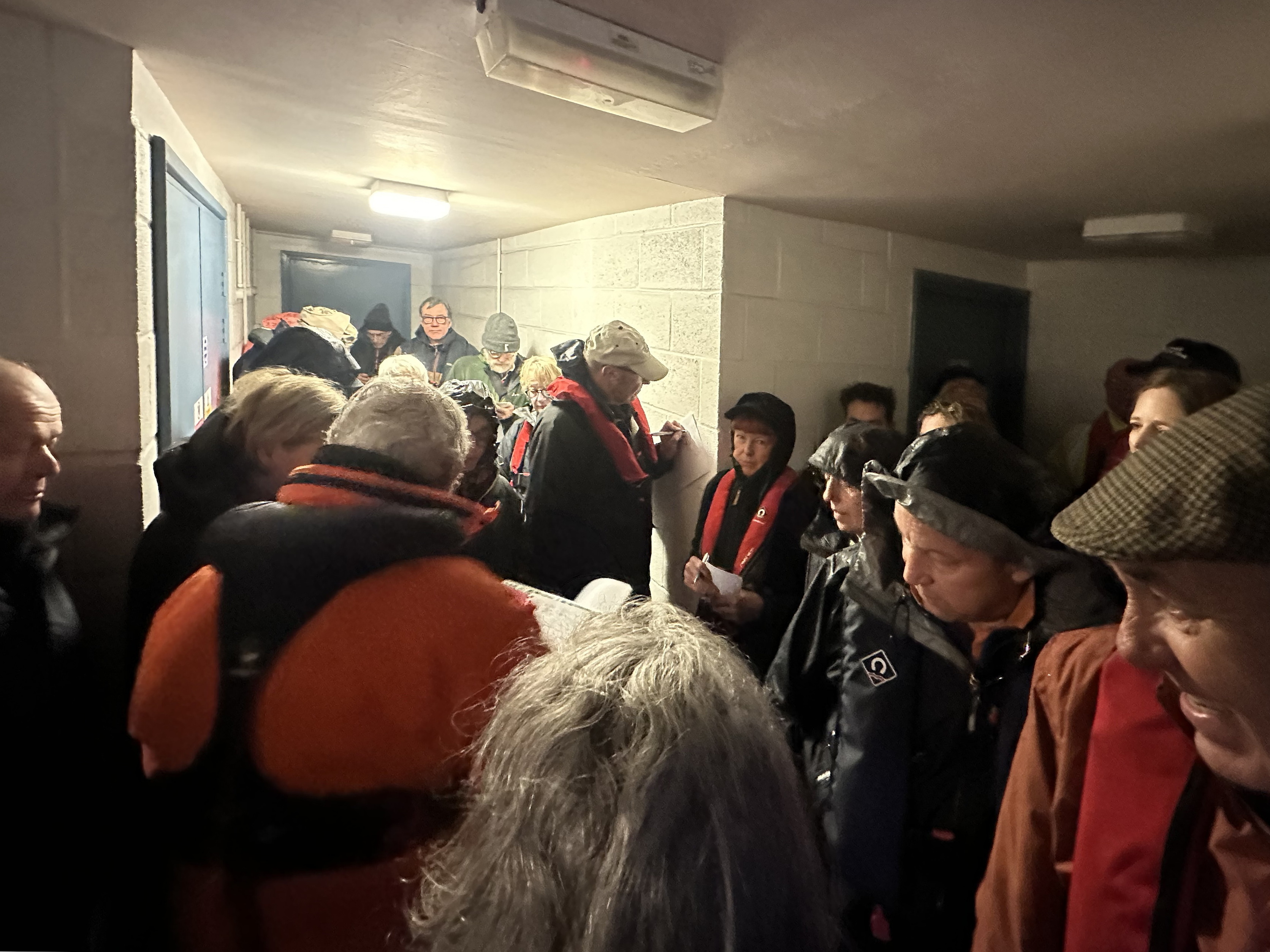
Who are we? We are St Pancras Cruising Club, a members’ club that exists to promote pleasure cruising on UK inland waterways and to provide facilities for its members and others.
rnrn
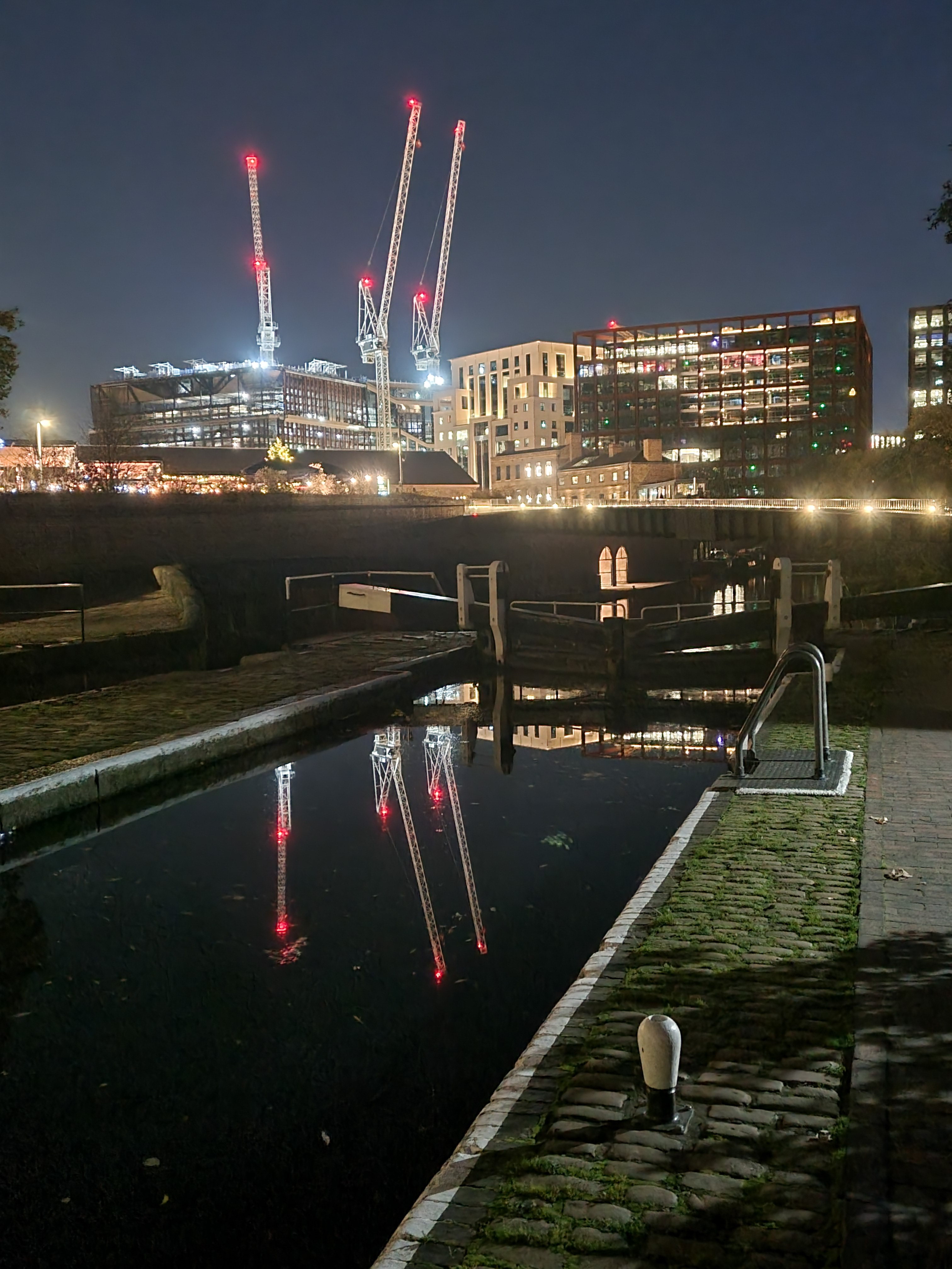
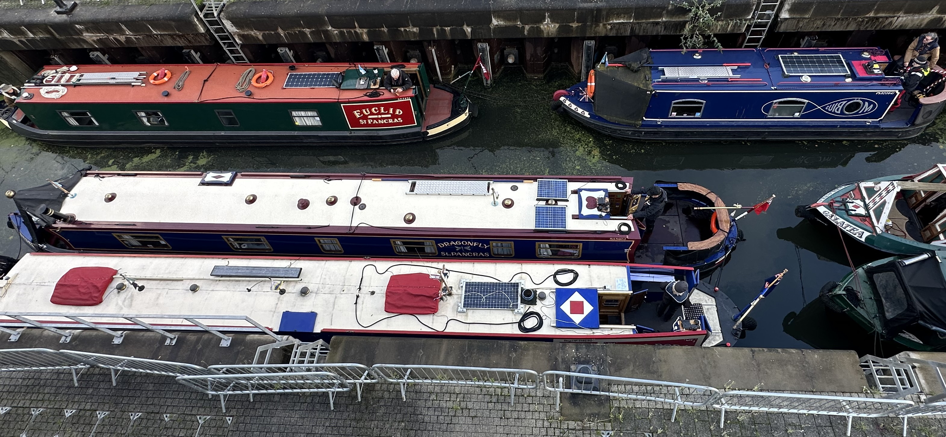
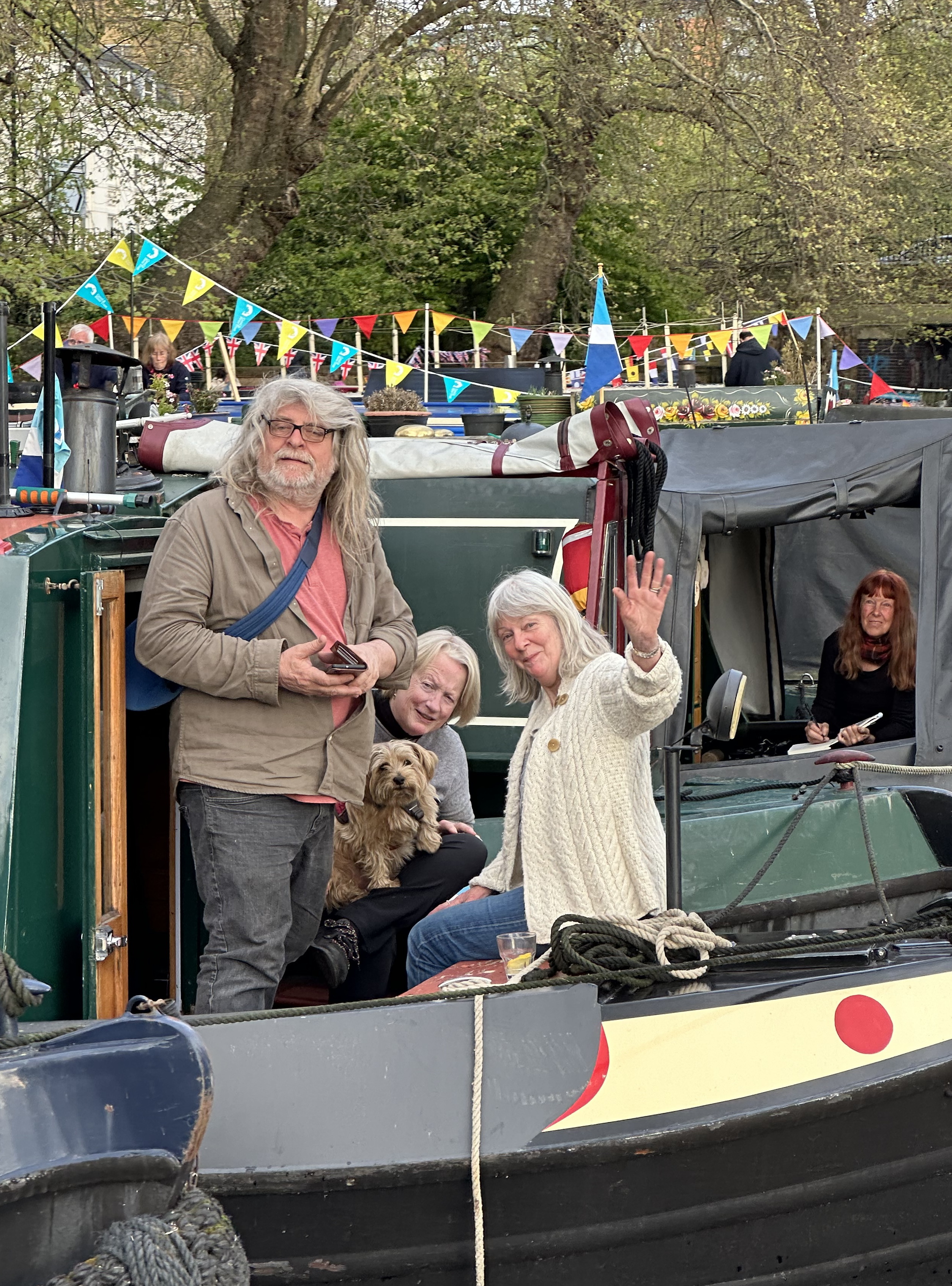
Why do we need your information and whose data do we collect? We are membership organisation which exists to support use of the waterways with a specific focus on the canals and rivers of London. To this purpose the Club organises regular cruising events for members and non-members, and promotes safe boating on the Thames tideway. In addition, the Club leases St Pancras Yacht basin and St Pancras Waterpoint from the Canal and River Trust. We maintain a strong interest in the local area (Camden and Islington Boroughs). We hold data on people who do, or might do, the following: • Become a member of St Pancras Cruising Club, • Take part in Club events or activities, • Support St Pancras Cruising Club financially and in other ways, • Wish to receive information about St Pancras Waterpoint
rnrn
How we obtain your data From you The majority of the information we hold about you will have been provided directly by you when you have registered on the Club website, or taken part in one of more of the activities outlined above. From someone other than you We may receive information from a member of the Club who has suggested that you are interested in membership or Club activities.
rnrn
What we do with your data The core activities we carry out with your data enable us to: • Send information to you about St Pancras Cruising Club and your membership, • Administer your membership, • Build financial and volunteer support for St Pancras Cruising Club and its activities through various fundraising and community activities, • Promote the aims and objectives of St Pancras Cruising Club through any other activities not specifically mentioned.
rnrn
What information we collect We collect the following classes of information: • Name(s) and address, email addresses, phone number(s) and other relevant contact details and preferences. • From members we collect information regarding their boats and vehicles, • Use of social media relating to St Pancras Cruising Club. • Records of donations. • Information about our relationship with you, correspondence, meeting notes, attendance at events etc. • Occupation, skills and professional activity, network(s) and interests where relevant to our needs. • Demographic, professional information and interests where these are relevant to our needs.
rnrn
Profiling Although we do not currently do this, we may in future use your data to group together people who have behaved, or might behave in similar ways. For example, we might find that people who had been to certain events were likely to come to similar events. If this was the case then we might “tag” your record to remind us to include you in invitations to similar events or to assess the likelihood that you might come to another type of event. You have a specific right to ask us not to do this. If you would prefer us not to, then please contact us using any of the contact details below.
rnrn
Protecting your data We keep your data secure in our database with appropriate security mechanisms in place. In principle we do not share your data with anyone else or any other organisation unless it is necessary for the purpose for which you have given us the data or described in this notice. Examples are given below: • Basic information on event participants may be shared with Canal and River Trust, Heritage of London Trust Operations Ltd, or people helping organise events, if necessary. • We may pass data to other organisations, known as Data Processors, to provide specific services to us. An example would be providing data to a mailing house in order to send a newsletter. A contract is always in place with a Data Processor, and they are not allowed to do anything with your data other than that which we have requested. In these cases we never lose legal control of your data.
rnrn
Our responsibilities The law requires us to tell you the legal basis upon which we process your data. • The law allows us to process your data if it is in our legitimate interest to do so. We may only do so if we can demonstrate an operational need, and so long as your “interests or your fundamental rights and freedoms are not overriding”. Practically speaking this means we carry out an exercise to check that we will not cause you harm by processing your data, that the processing is not overly intrusive and that we will only do so in a way which is described in this privacy notice. • Other activities are carried out to fulfil a contract or agreement. Examples include the purchase of a ticket or membership. If a contract is in place then we will process your data based on that contract. • In some circumstances the law requires us to record information and possibly disclose it to a third party. An example is the sale of gas oil to the owner of a private pleasure craft; here we are required by HMRC to record the name and address of the purchaser. • Some activities require your consent. If the law requires your consent to process data in a certain way then we will obtain it before carrying out that activity.
rnrn
How long do we keep your data? We will keep data for as long as is needed to complete the task for which it was collected. Relationships between members and St Pancras Cruising Club are often long term ones, and so we expect to keep your data for as long as that relationship exists, or until we no longer need it.
rnrn
Your rights You have a variety of rights about the way we process your data. These are as follows: • Where our use of your data requires consent, you may withdraw this consent at any time. • Where we rely on our legitimate interest to process data, you may ask us to stop doing so. • You may request a copy of the data we hold about you. • If we are carrying out profiling, you may ask us not to do so. • You may change or stop the way in which we communicate with you or process data about you, and if it is not required for the purpose you provided it, then we will do so. Activities like processing gas oil purchasing may mean we cannot entirely stop processing your data. We will always endeavour to comply with such a request, however. • If you are not satisfied with the way we have processed your data then you can complain to the Office of the Information Commissioner.
rnrn
Contacting us If you have any questions about this privacy notice, about the way in which we process your data, or if you wish to change the way we use your data, including how we communicate with you, then please write to Data Protection Officer, St Pancras Cruising Club, St Pancras Yacht Basin, Camley Street, London N1C 4PN, or email:
rnrn

rn